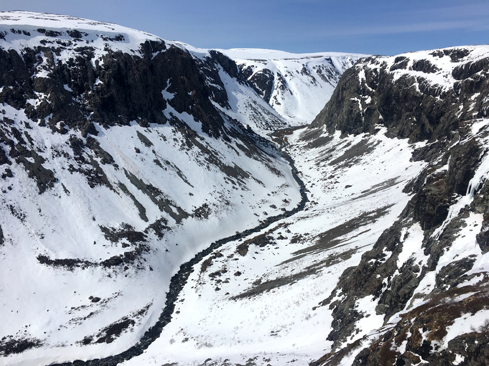
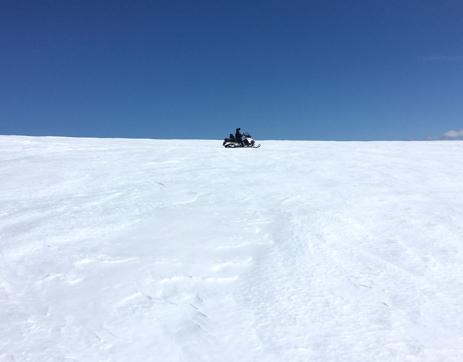
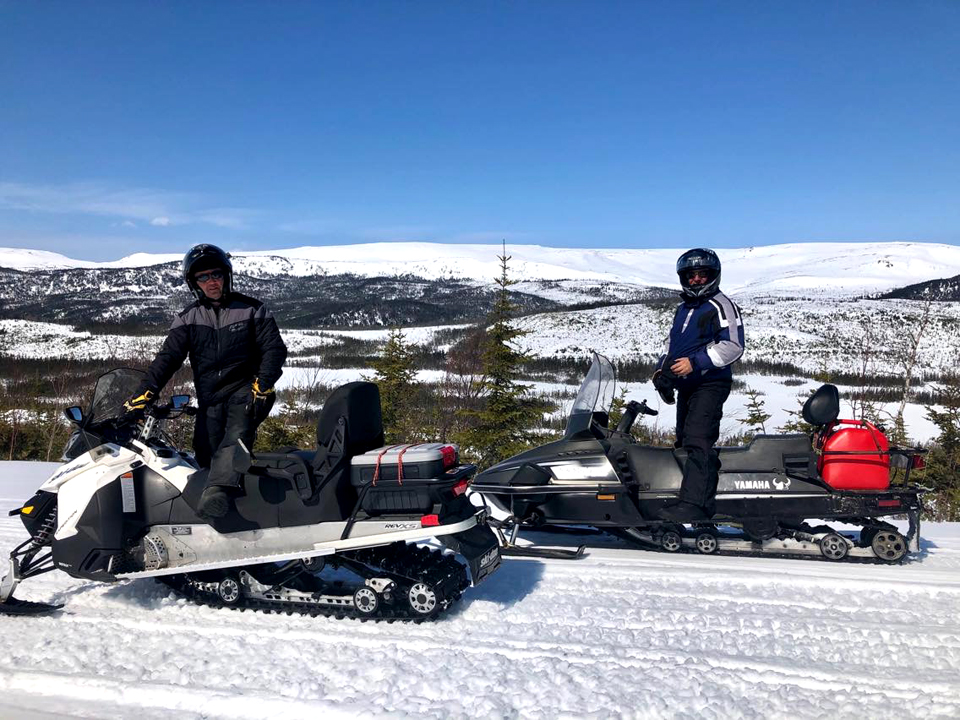
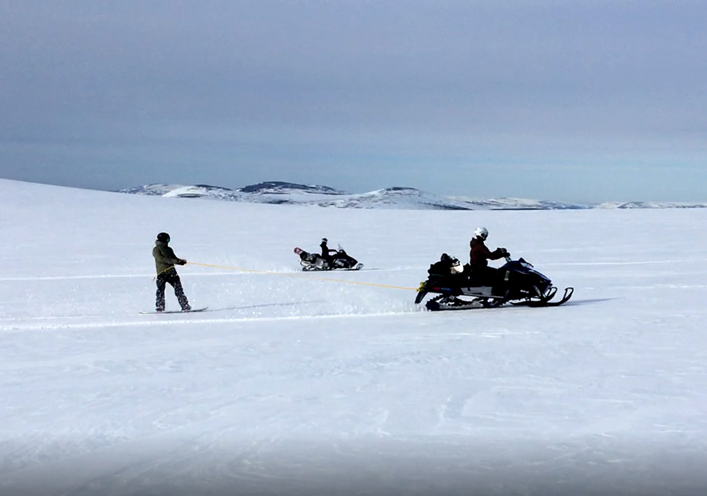
On April 15, IATNL/Cabox Geopark Director Paul Wylezol and friends Delano Pittman, Katie Broadhurst, Caroline Swan and Jamie Harnum took advantage of a beautiful late winter/early spring day to take a snowmobile ride on Cabox Geopark’s Blow Me Down Mountains, following the route of the IATNL Blow Me Down Mountain Trail.
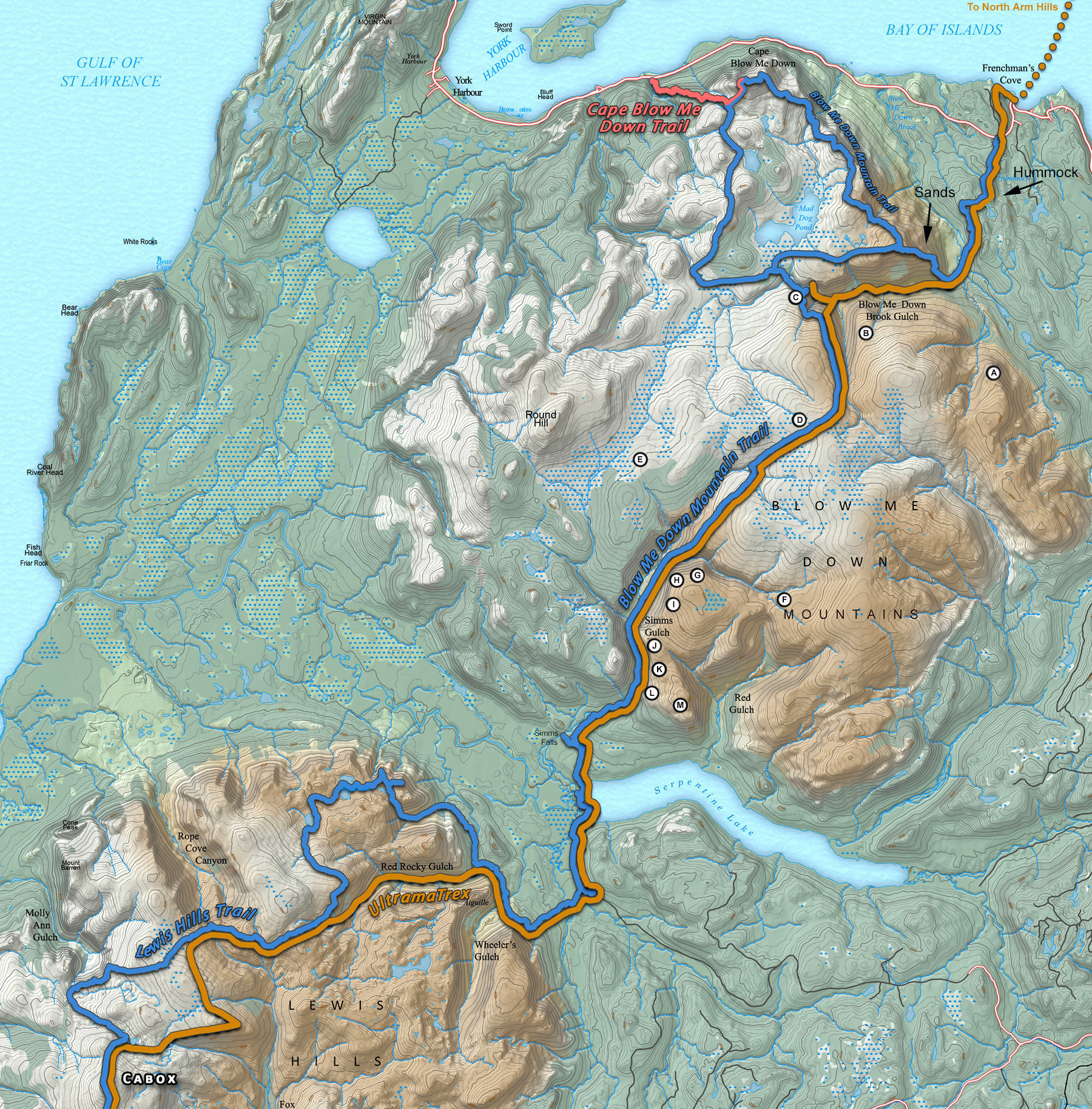
In the north, the trail starts near Frenchman’s Cove on Route 450 (Captain Cook’s Trail) on the south side of the Bay of Islands. From there the trail passes the Hummock foothills before entering Blow Me Down Brook Gulch (ie., Valley) at the “Sands”, the long sandy slope were the brook makes a right angle turn west and bisects the Blow Me Down Ophiolite Massif.
Blow Me Down Brook Gulch marks the dividing line of the massif between ultramafic peridotite (a rust-colored igneous rock from the earth’s mantle which oxidizes when exposed on earth’s surface) to the east and lighter mafic gabbros (typically gray) from the ocean crust to the west.
The IATNL Blow Me Down Trail follows much of the route of the Cabox Geopark UltramaTrex (a project of the IATNL), which is a 6-8 day trek of the ultramafic sections of all four of the Bay of Islands Ophiolite Massifs, from Lewis Hills in the south to Tablelands in Gros Morne National Park in the north (https://caboxgeopark.org/ultramatrex/).
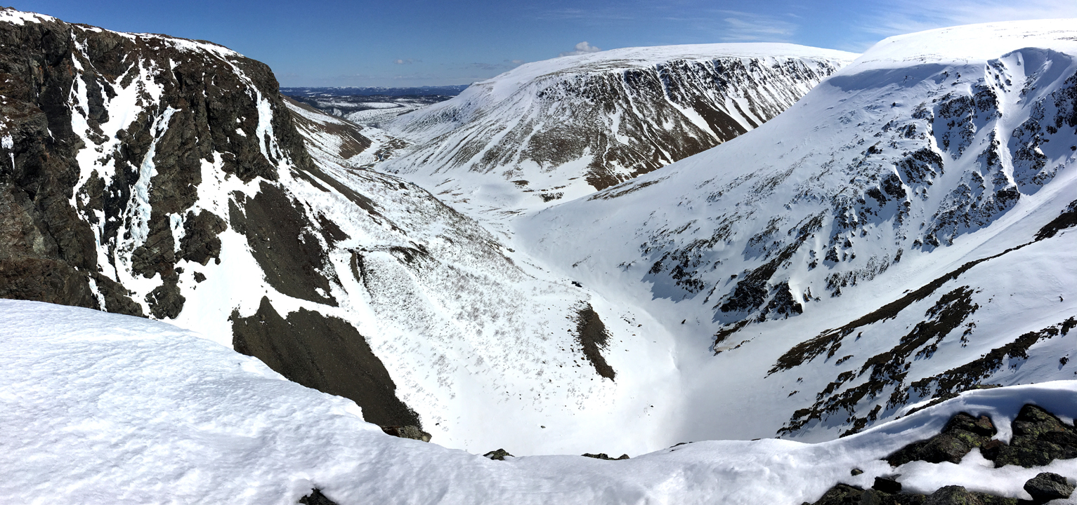
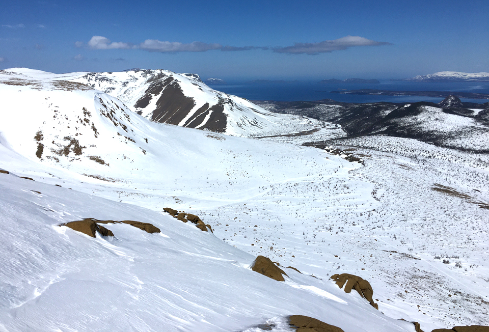
From Blow Me Down Brook Gulch, the trail route heads south across the broad barren mountaintop towards Simms Gulch. In summer the area is a mix of rust-colored peridotite barrens, green grasslands and brown wetlands, but in winter its a broad expanse of nothing but white snow, ice and clouds, and blue sky.
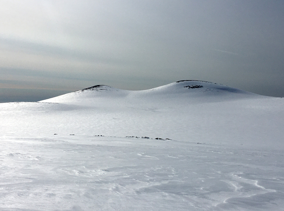
Along the way hikers and snowmobilers can see the twin “Haystacks” looming in the west. They are the breast-like peaks of the Blow Me Down Mountains, which together with nearby Round Hill, are the highest points on the mountains at approximately 2500 feet (825 meters).
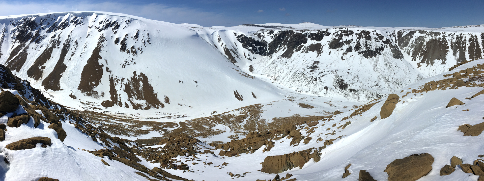
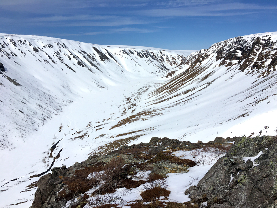
Not far away are the two upper forks of Simms Gulch, which in winter fill largely full of snow but in summer can be hiked with care.
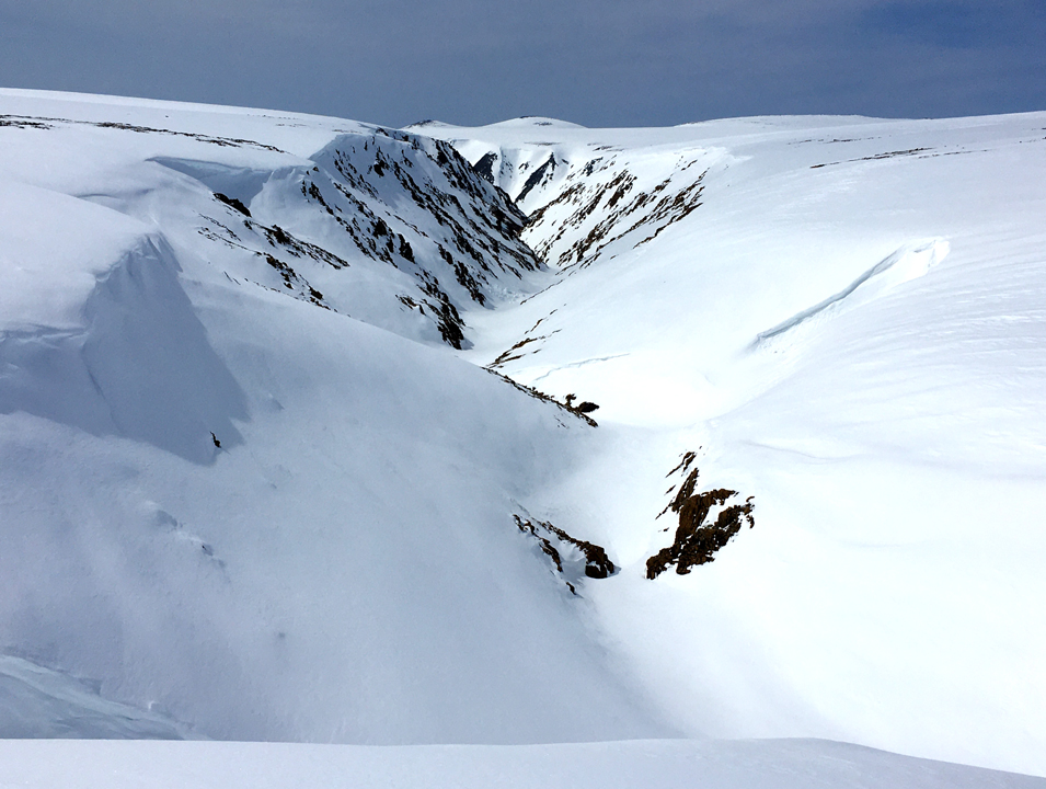
Between the two forks is a long gradual slope that is forms the IATNL route in and out of the gulch, which in summer looks like a long narrow steep valley with a stone peridotite glacier emerging from it.

Like Blow Me Down Brook Gulch to the north, the east side of Simms Gulch is composed of rust-colored peridotite from earth’s mantle, while the west side is composed of gray gabbro from the ocean floor. Looking north through the back end of the gulch, one can easily see the difference, even in winter.
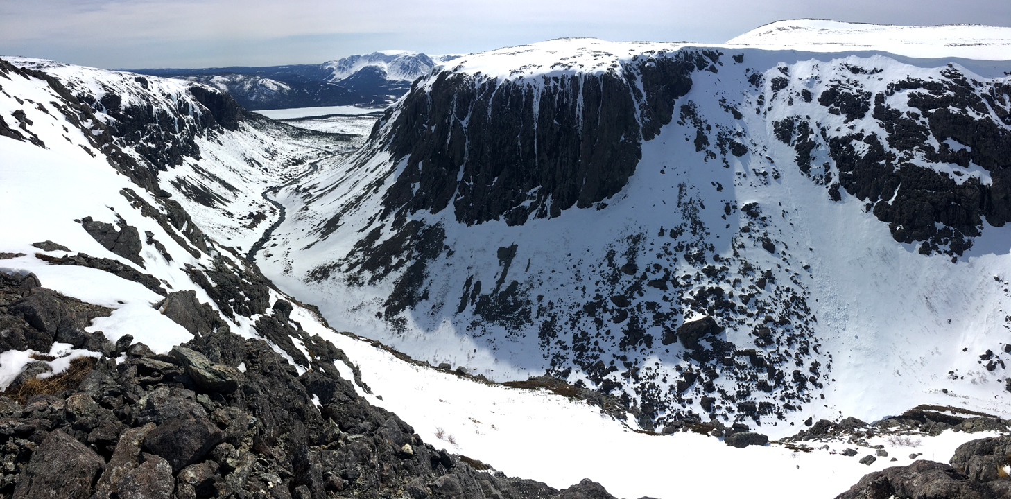
From the mid-section of the gulch along the east rim, one can see the Lewis Hills emerging from the background to the south (at left).

A little further south and around a bend in the gulch, the eastern edge of Lewis Hills appear across Serpetine Lake. The IATNL Blow Me Down Mountain Trail follows the brook in this barren rocky valley until it emerges and flows down through the foothills and over a series of waterfalls and into the western end of the lake.
From the southern end of the Blow Me Down Mountains above Simms Gulch, hikers and snowmobilers get a fantasic view of the northern end of the Lewis Hills, the most southernly of the four Bay of Islands Ophiolite Massifs. Further south on the Hills is the Cabox, at 2,671 feet (814 meters) it is the highest point on the island of Newfoundland.
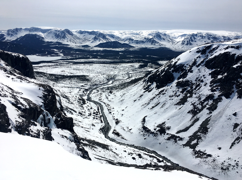
From the east rim above the entrance to the gulch, one gets a sweeing view of both the Lewis Hills and Simms Brook as it winds its way into the steep canyon.

Just a short distance away at the southern end of the Blow Me Down Mountains, Serpentine Lake comes into full view between the two ophiolite massifs. The IATNL route crosses the western end of the lake – up to your knees – beginning most years in early July when the previous winter’s snowmelt has drained away down Serpentine River into the Gulf of St Lawrence.
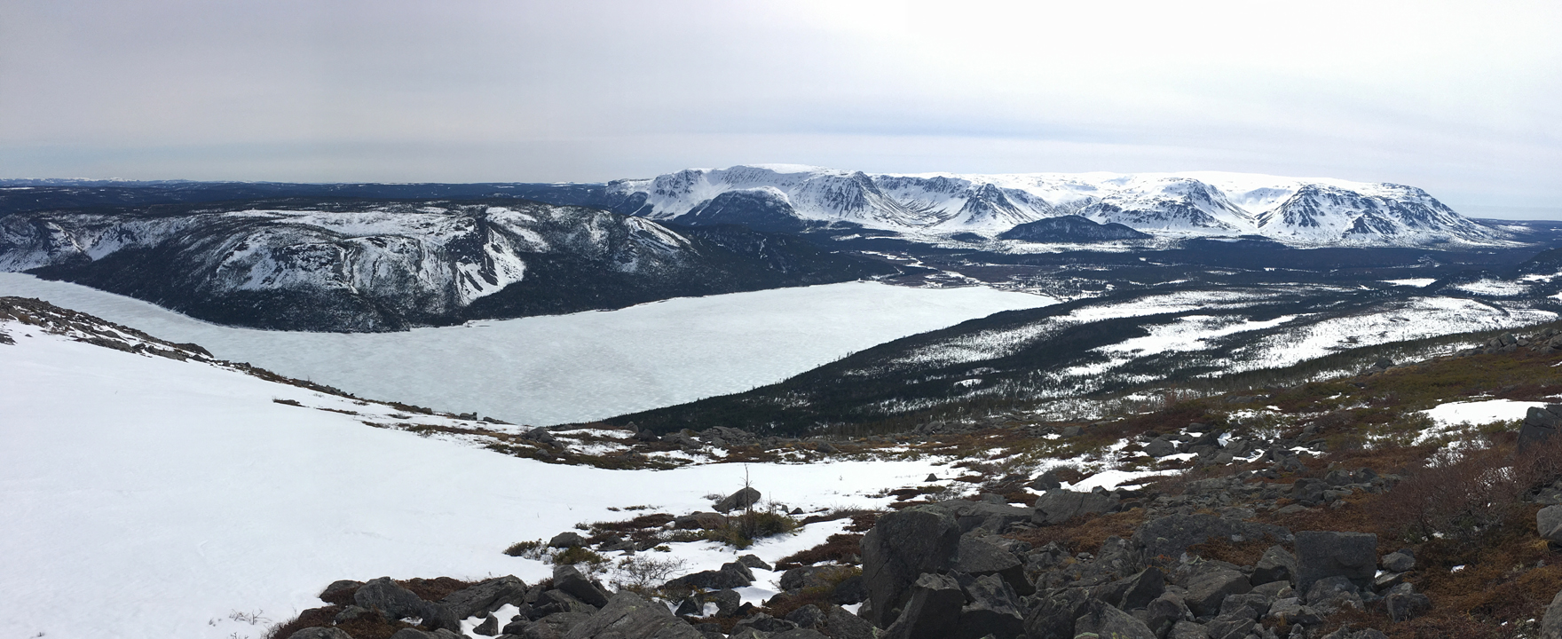
A trek across the Blow Me Down Mountains takes approximately two days for the average hiker walking slow enough to take in the views and enjoy the unique geology and flora. But unless a 1.5 hour drive over a gravel logging road is arranged, it will take another two days to cross the Lewis Hills …. or half a day to paddle a canoe down Serpentine River to a fishing boat waiting in the Gulf!
View the story on the International Appalachian Trail (IAT) website:
https://iat-sia.org/2020/04/20/a-winter-tour-of-the-iatnl-blow-me-down-mountain-trail/

