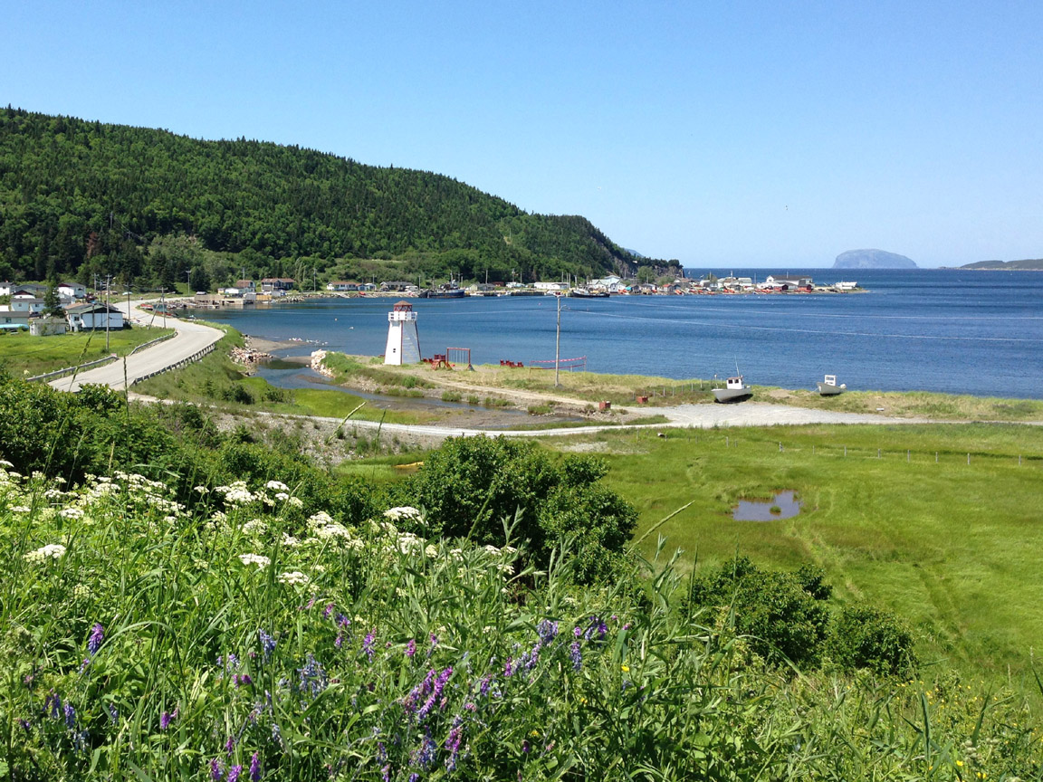
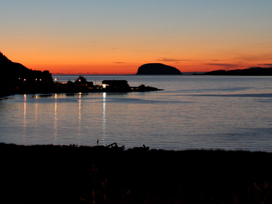
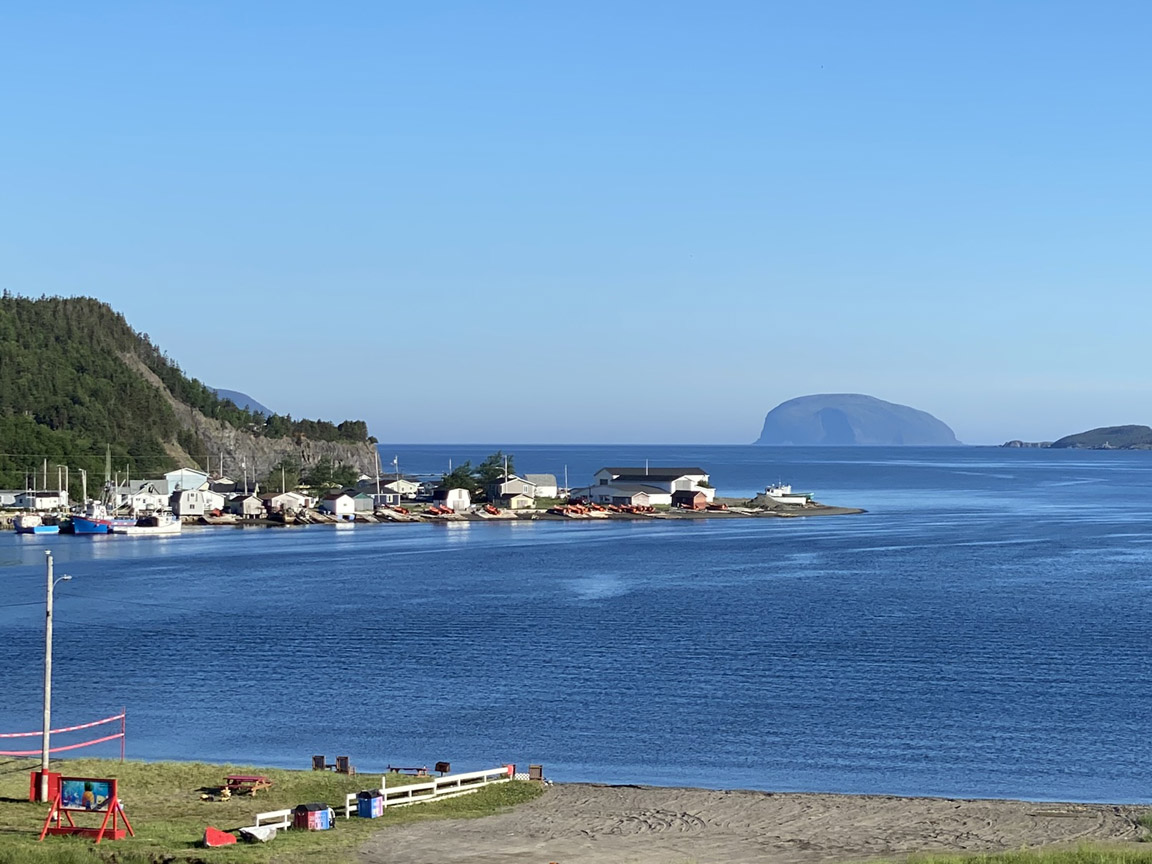
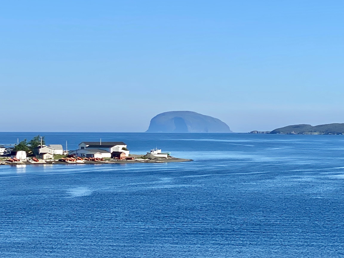
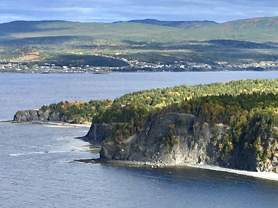
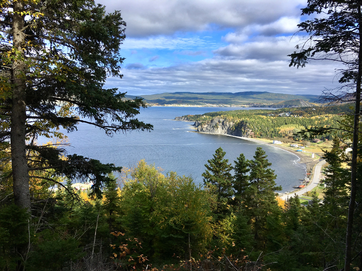
Frenchman’s Cove is the most westerly community in the town of Humber Arm South along Route 450 in Bay of Islands. It is located at the mouth of Humber Arm approximately 3kms south of the eastern end of Woods Island and is home to several vessels in the Western Newfoundland seiner fleet, which fish primarily for herring, mackerel and capelin. Because of its location near the outer Bay of Islands, the community is known for beautiful sunsets and a terrific view of Weeball (aka Guernsey) Island.
Geological Features
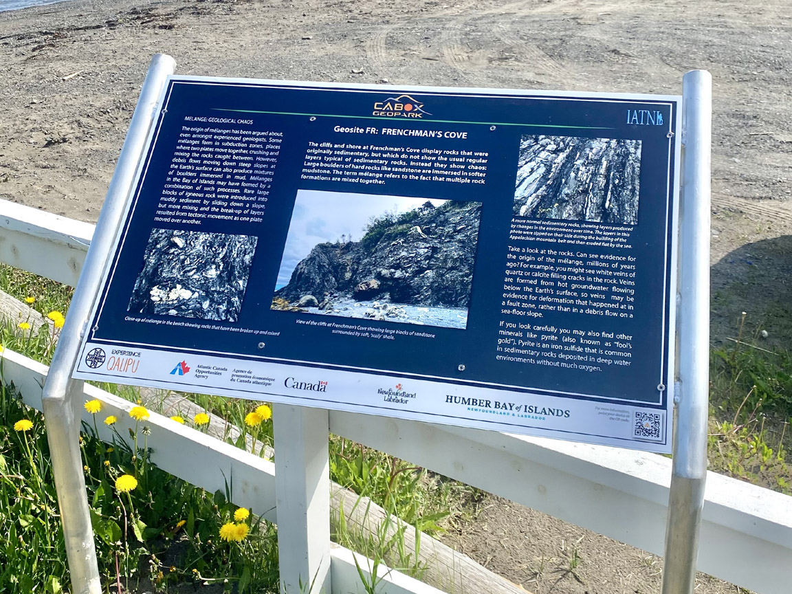
Frenchman’s Cove Mélange (49.0556N / -58.1745W)
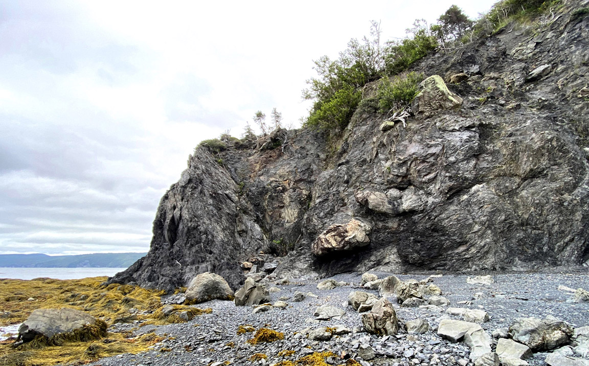
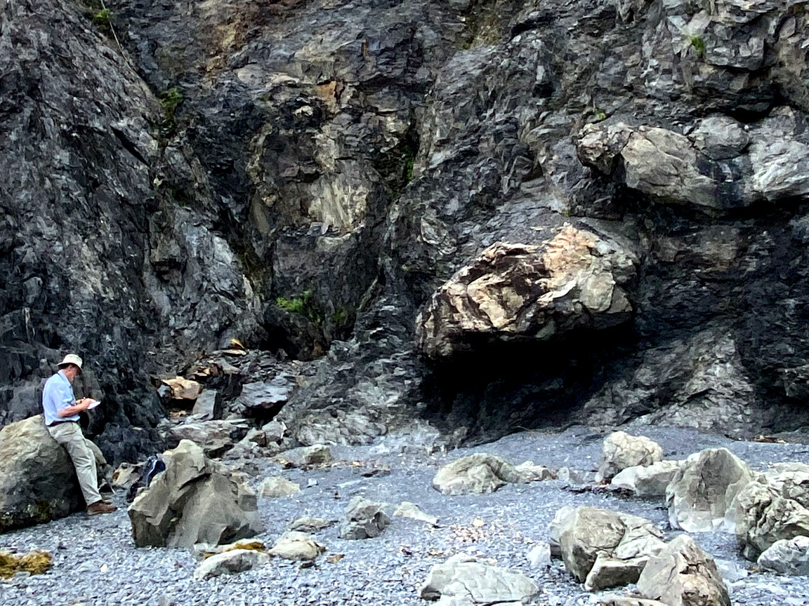
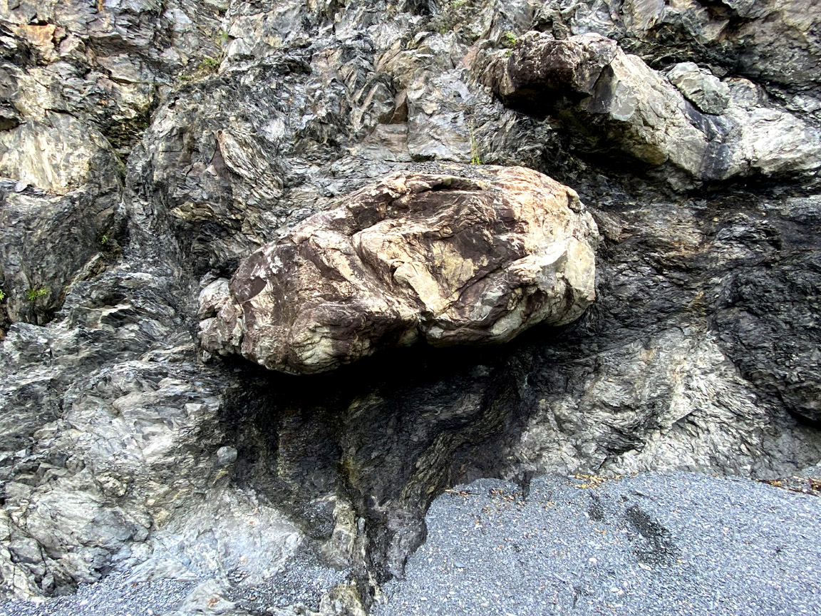
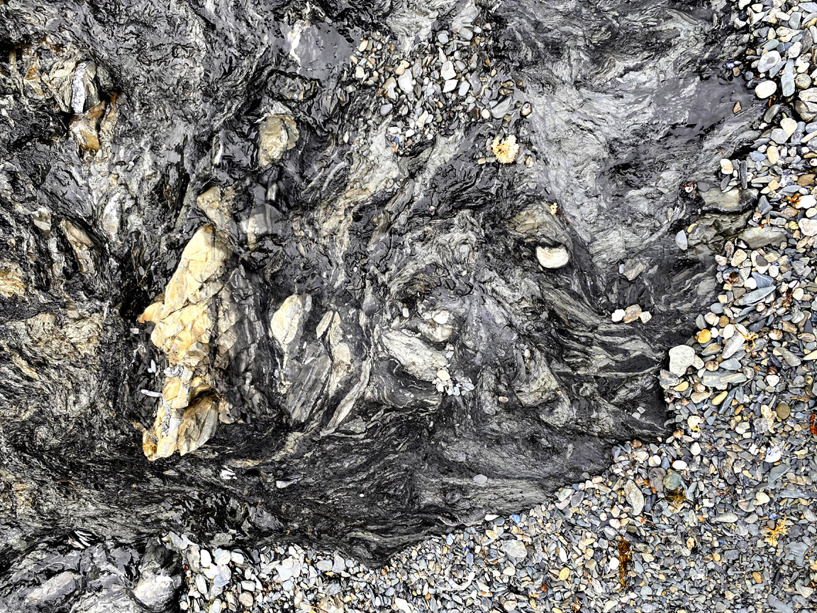
The cliffs and shore at Frenchman’s cove display rocks that were originally sedimentary, but which do not show the usual regular layers typical of sedimentary rocks. Instead they show a chaotic arrangement in which large boulders of hard rocks like sandstone are immersed in softer mudstone. The term mélange refers to the fact that multiple rock formations are mixed together in the chaos.
The origin of mélanges has been controversial. Some form in subduction zones, places where two plates move together, crushing and mixing the rocks caught between. However, debris flows moving down steep slopes at the Earth’s surface can also produce mixtures of boulders immersed in mud. Mélanges in the Bay of Islands may have formed by such a combination of processes. Rare large blocks of igneous rock were introduced into muddy sediment by sliding down a slope, but more mixing and the break-up of layers resulted from tectonic movement of the converging plates.
Take a look at the rocks and see if you can see evidence for one type of origin or the other? For example, you might see white veins of quartz or calcite filling cracks in the rock. It’s generally thought that veins are formed from hot groundwater flowing below the Earth’s surface, so if veins are present they may be evidence for deformation that happened at depth, rather than in a debris flow on a slope.
Other examples of mélanges and broken formation can be seen on the north shore of the Humber Arm at McIvers, and on Woods Island that sits at the mouth of Humber Arm where it enters the main part of the Bay of Islands.
Access
Follow Route 450 for approximately 7.5 km northwestward from Benoit’s Cove until you reach Frenchman’s Cove. Turn right off the highway onto the gravel road leading to the beach and picnic area near the faux lighthouse. There you will find an interpretive panel describing the Frenchman’s Cove Mélange, which can be reached after a short 300 m walk to the low cliffs at the end of the beach.
Cultural Features
French Shore of Newfoundland
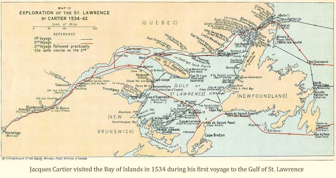
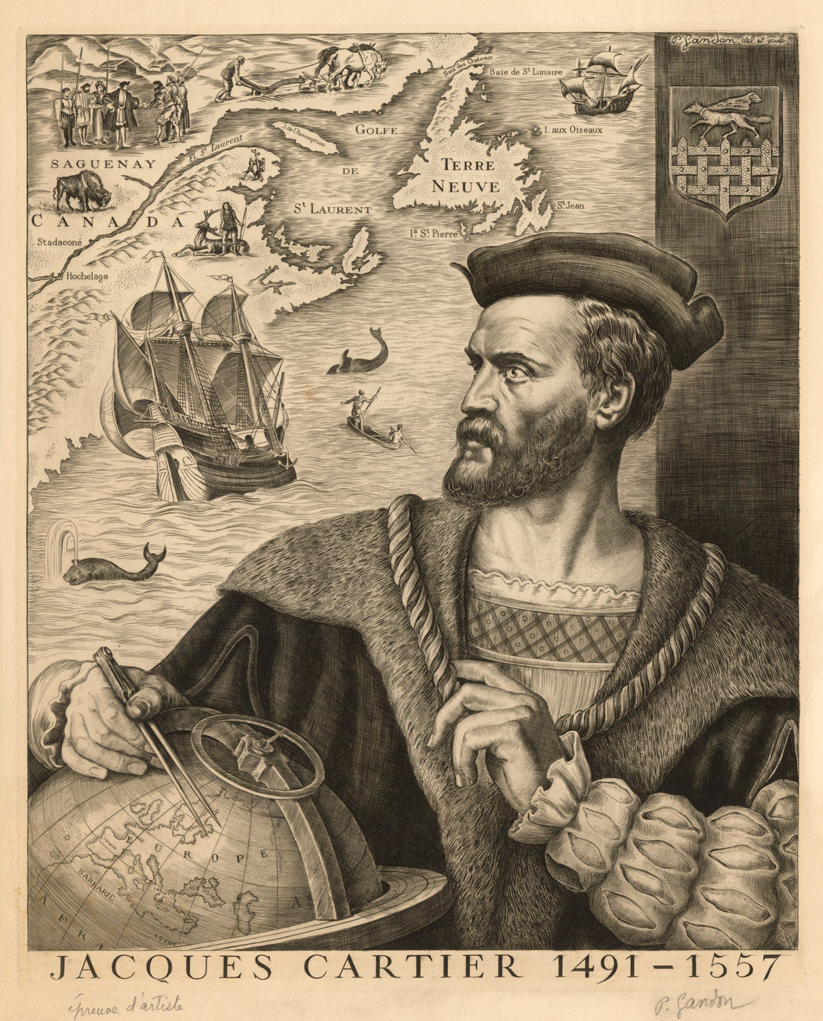
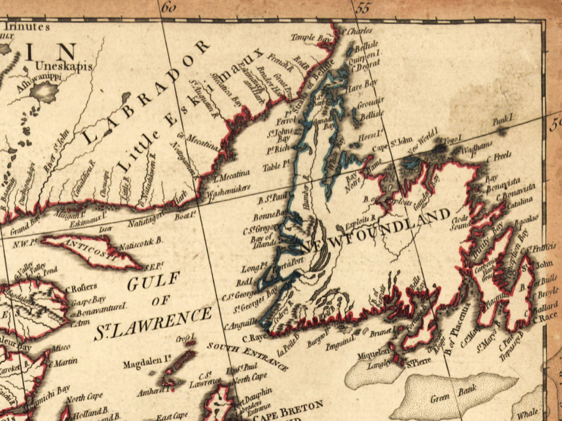
Culturally, Frenchman’s Cove is the site chosen by Cabox Geopark to commemorate the French Shore of Newfoundland, which dates back to Jacques Cartier’s first voyage of discovery to Canada in 1534. During that voyage, Cartier anchored in the Bay of Islands before sailing west and exploring the entrance to the St. Lawrence River. The following year Cartier sailed up river as far as Hochelaga (Montreal) and returned to France by way of the south coast of Newfoundland, and in doing so, became the first European to establish Newfoundland to be one or more islands.
Jacques Cartier claimed the Gulf of St. Lawrence region for France in 1534. Over the next two centuries, French Basques, Normans, and Bretons fished in these waters and a French presence was evident in many parts of the island outside of the east coast where British migratory fishery prevailed. Following a series of wars with Britain, France agreed under the Treaty of Utrecht (1713) to leave the island and its headquarters at Plaisance (Placentia) but insisted that some access for its migratory fishers remain. Britain agreed. A “French Shore” was established extending along Newfoundland’s northern coastline from Cape Bonavista to Cape St. John, free of permanent settlement by either country.
When Britain defeated France in the Seven Years War (1756-63), France vacated its North American colonial possessions with the exception of St. Pierre and Miquelon, which would serve as a supply station for the French fishery. Britain also agreed to reinstate the old French Shore of Newfoundland. However in 1778 when France sided with American revolutionaries, Britain again denied French fishers access to Newfoundland waters.
After extensive negotiations following the American Revolutionary War (1775-83), a new French Shore was established in 1783. It extended from Cape St. John on the northeast coast to Cape Ray in the southwest. In the immediate area of the Bay of Islands, Bottle Cove, Little Port, Governor’s Island, Frenchman’s Cove and Wood’s Island were used by French fishers. This new French Shore lasted until 1904, finally relinquished under the Bonne Entente Agreement (aka Entente Cordiale) between France and Great Britain.
Access
Follow Route 450 for approximately 7.5 km northwestward from Benoit’s Cove until you reach Frenchman’s Cove. Turn right off the highway onto the gravel road leading to the beach and picnic area near the faux lighthouse. There you will find the interpretive panel for the French Shore commemorative site located near the panel for the Frenchman’s CoveMélange.
Other Attractions
Salt Water Trail (49.0503N / -58.1866W)
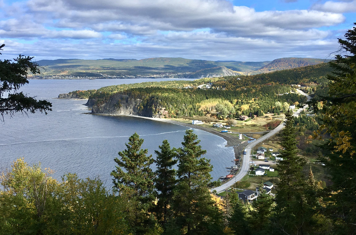
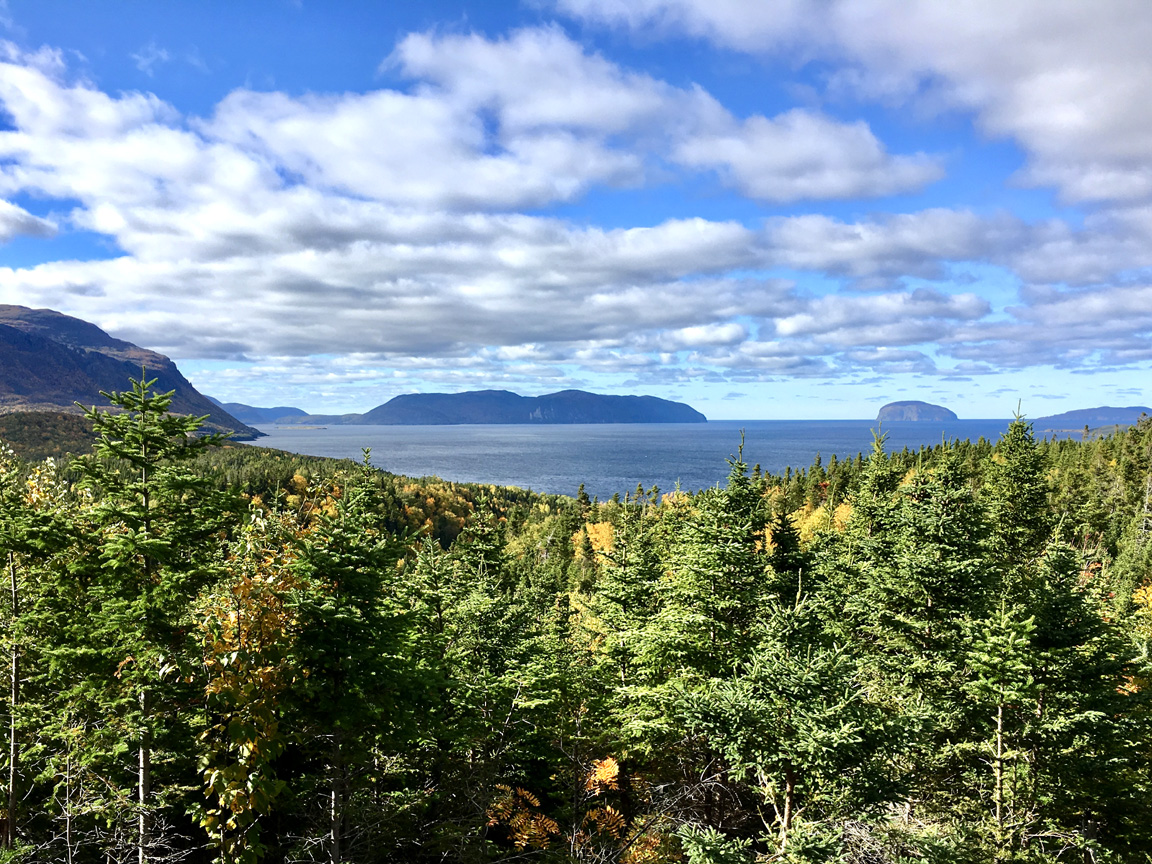
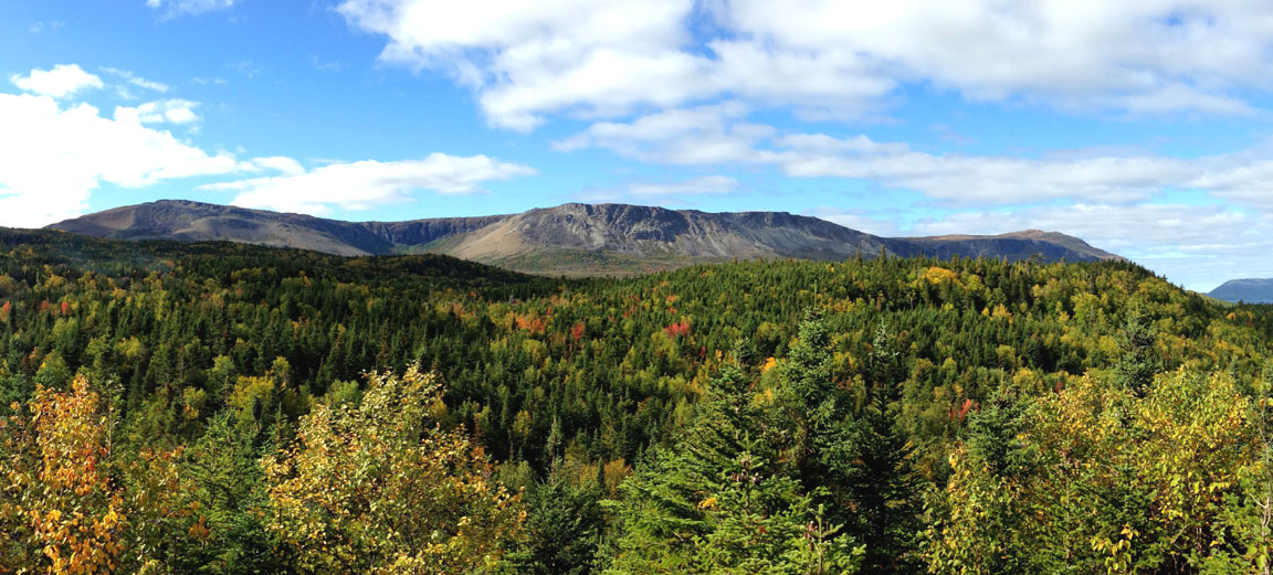
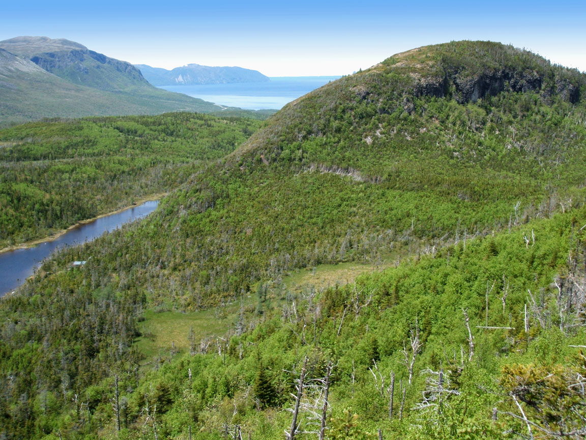
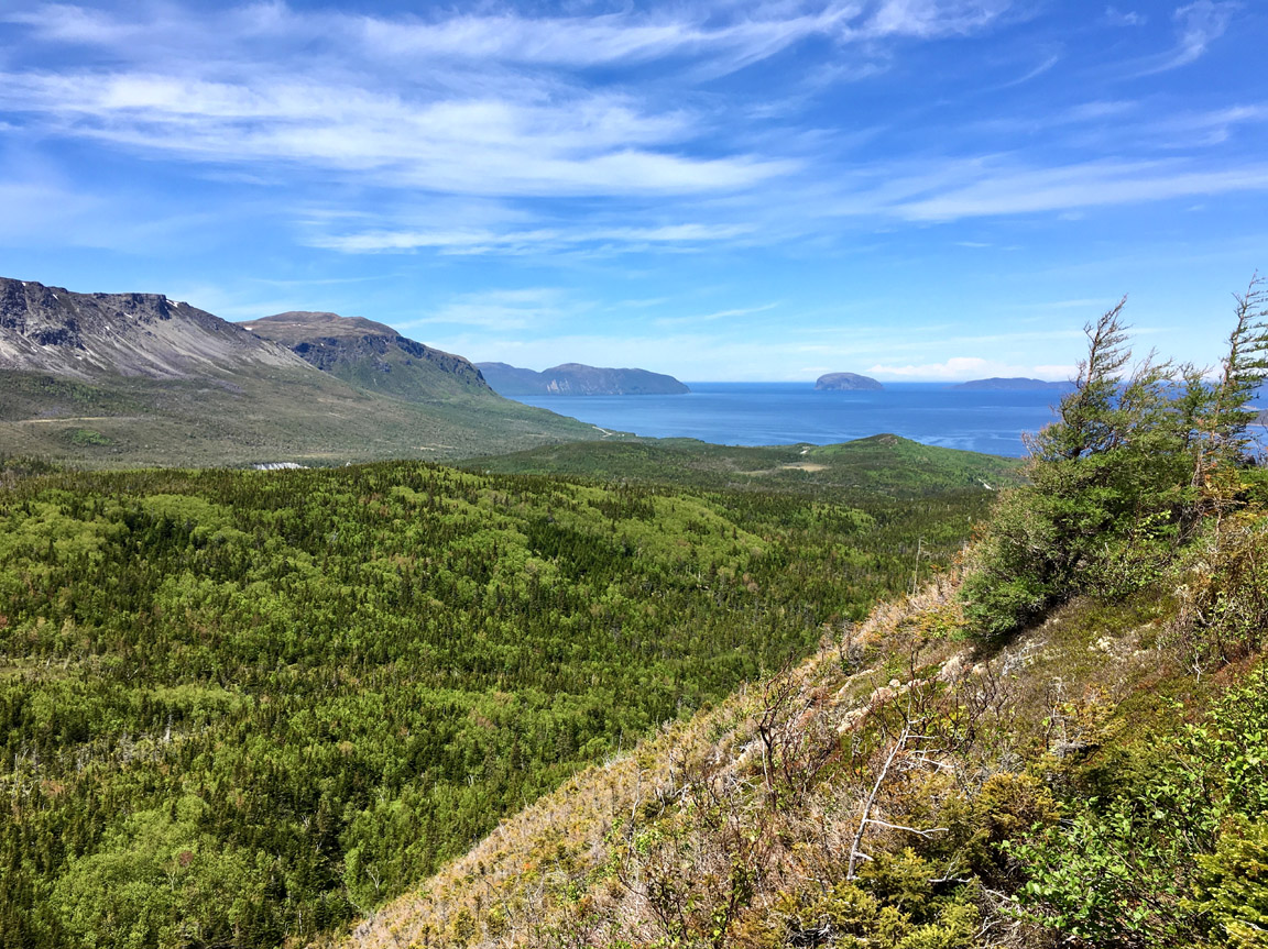
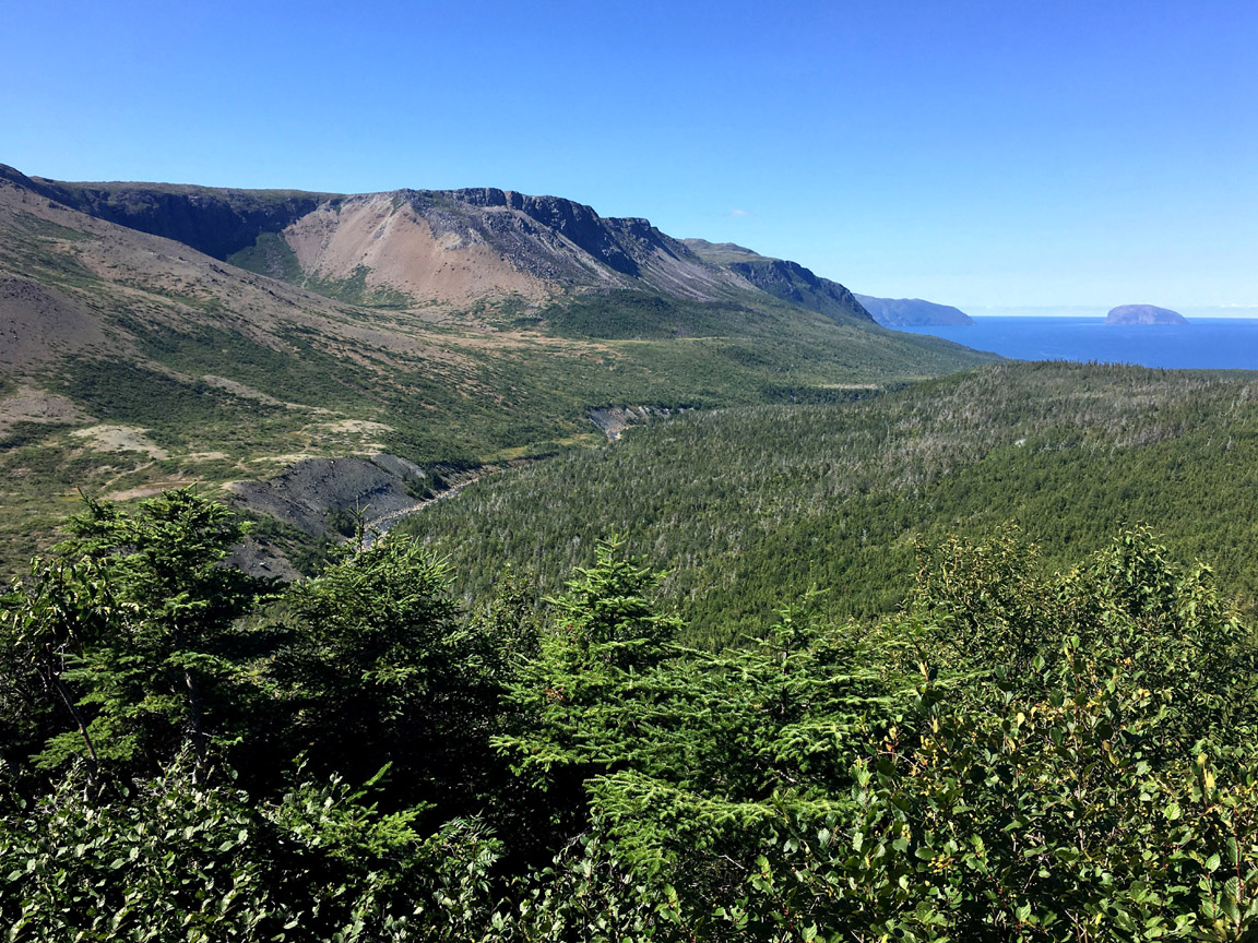
On top of the hill overlooking Frenchman’s Cove is a rustic 1.5 km (one way) forest trail that provides good views of the Blow Me Down Mountains, Frenchman’s Cove and the outer Bay of Islands. After completing the trail, hikers can return to the trailhead parking area via a gradual uphill ascent of Salt Water Road.
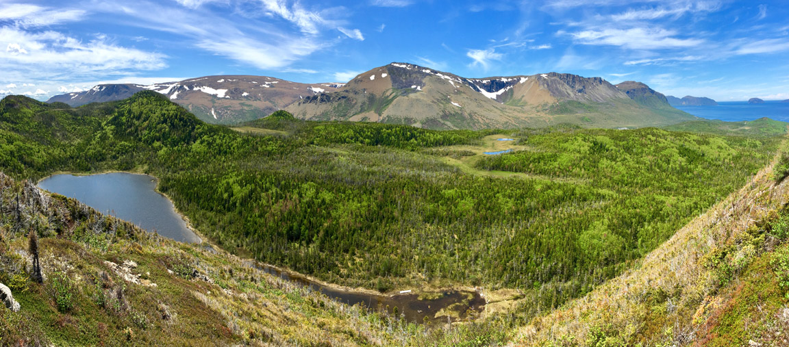
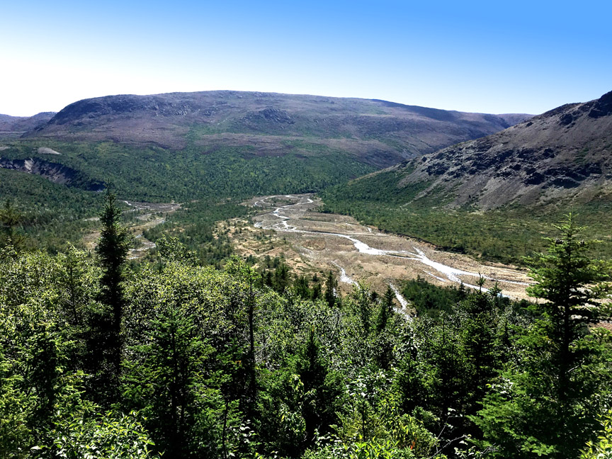
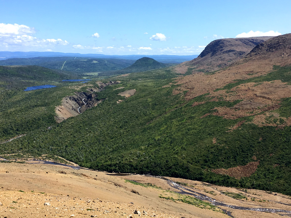
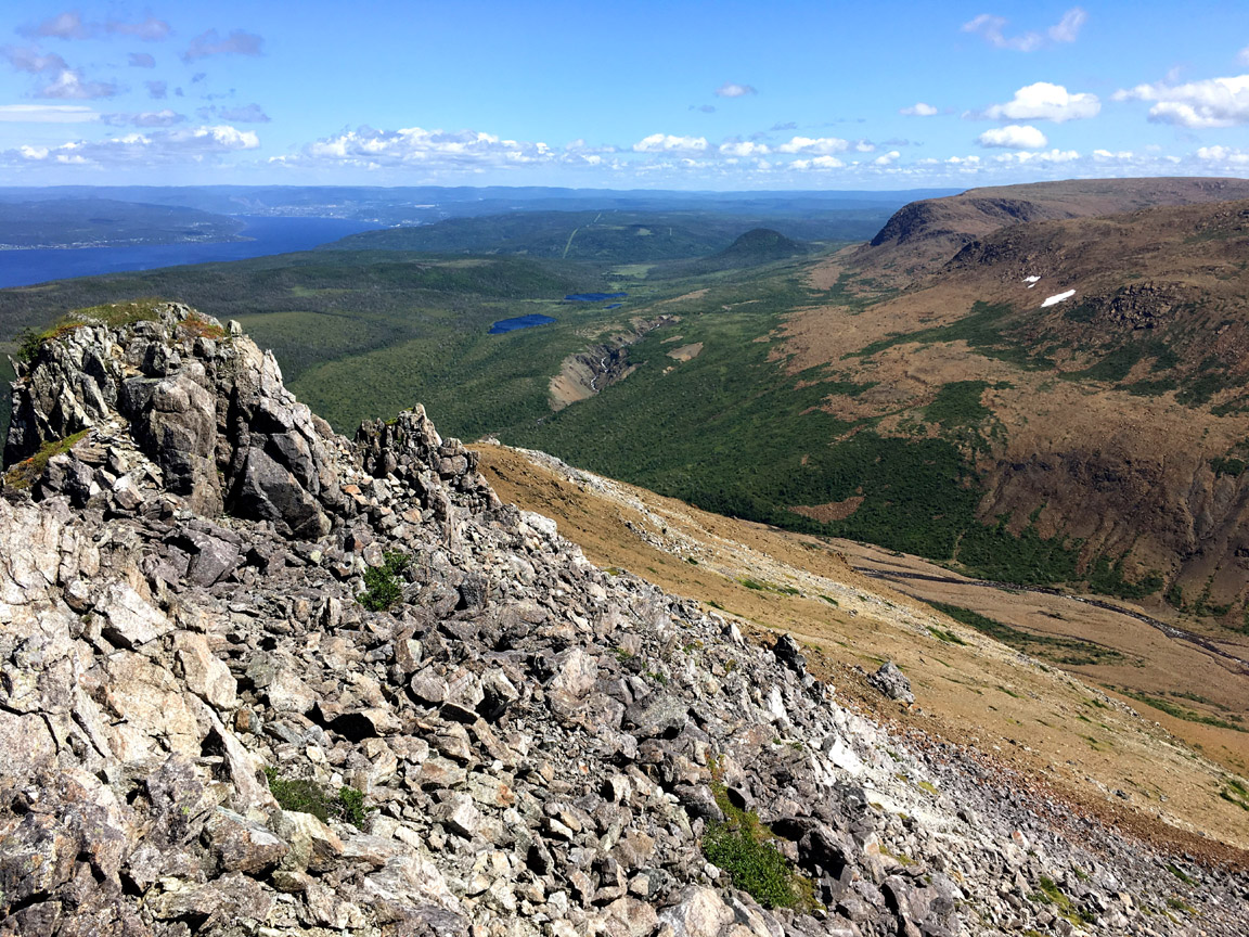
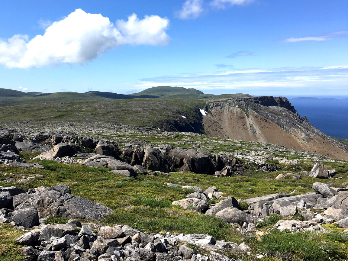
More adventurous hikers can cross Route 450 and hike 2.5 kms to the top of the 300 m high Frenchman’s Cove Hummock, with more spectacular views of the outer Bay of Islands and western end of Blow Me Down Ophiolite Massif, an integral component of Cabox Geopark’s Oceanic Successions.
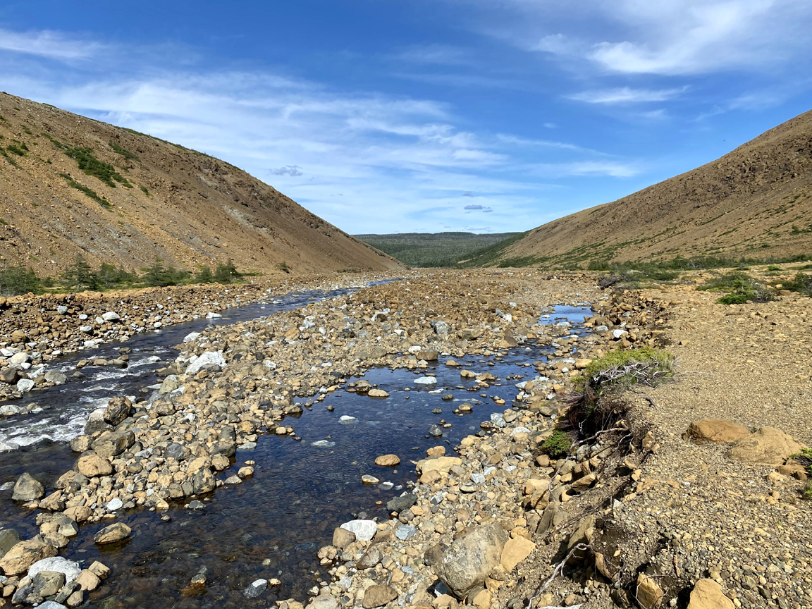
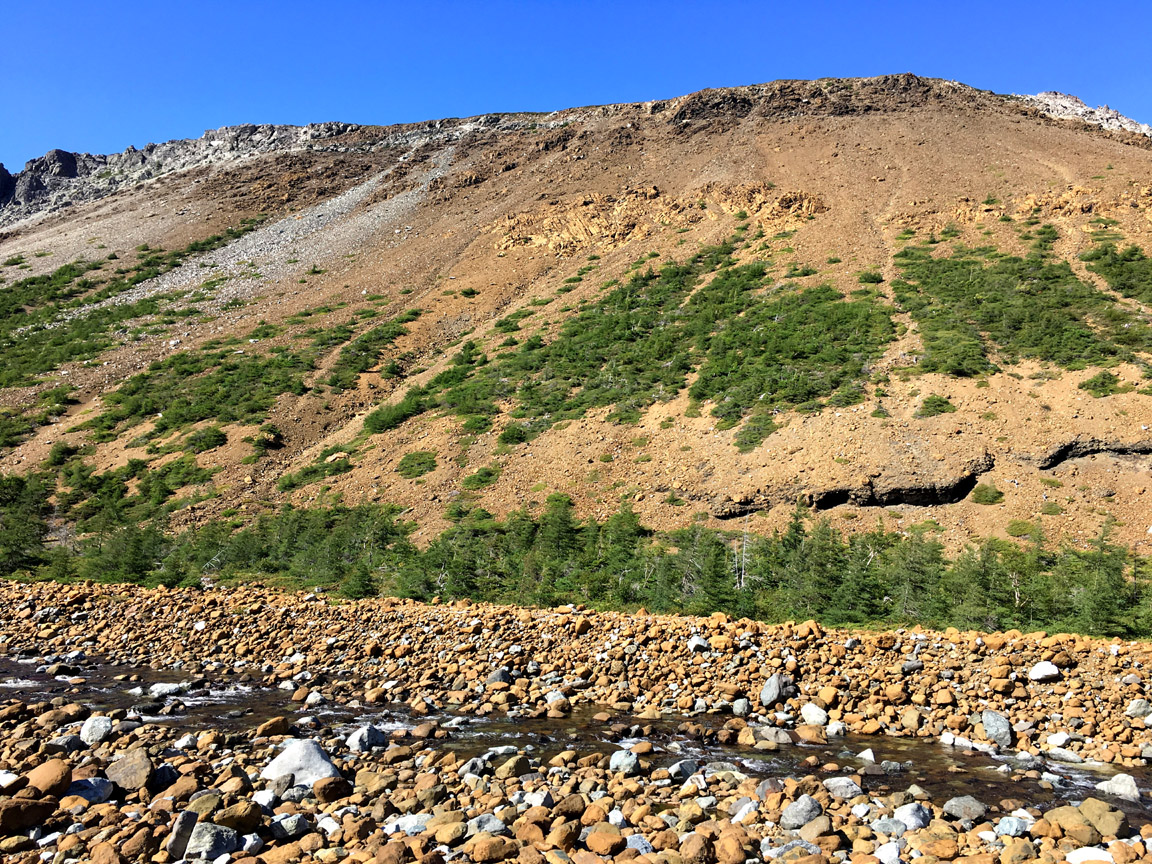
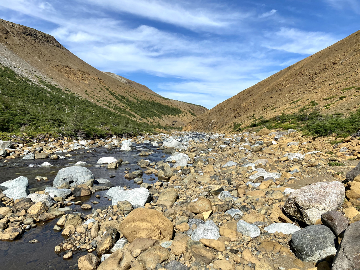
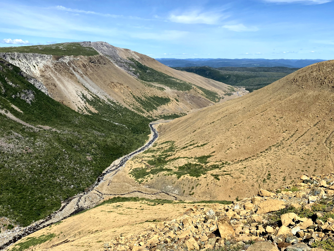
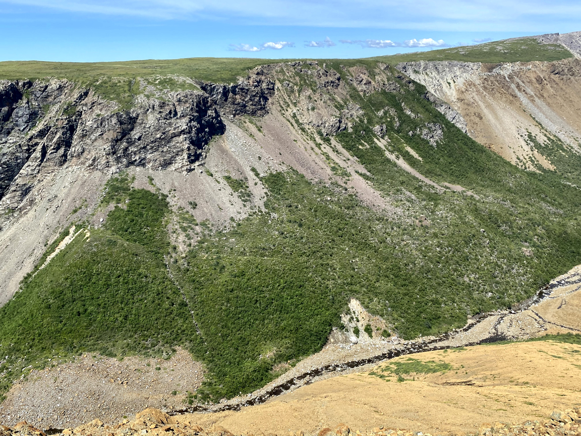
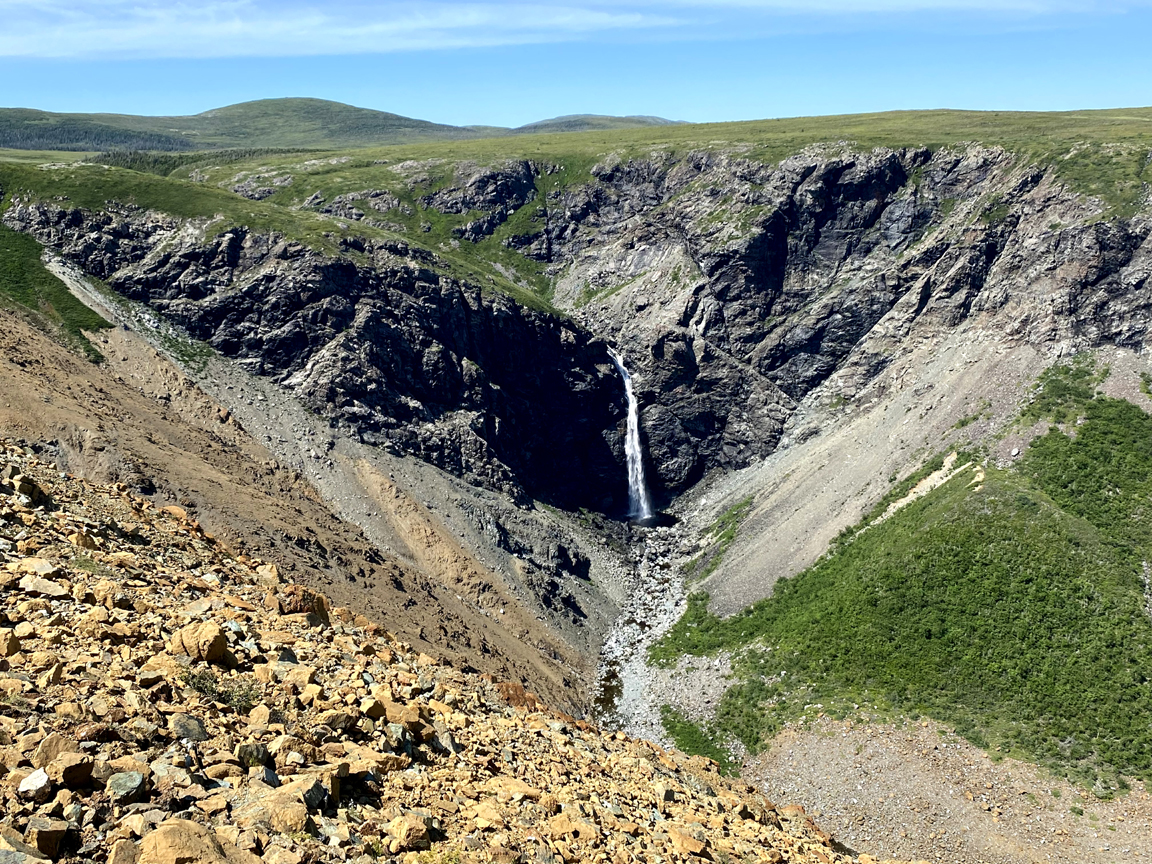
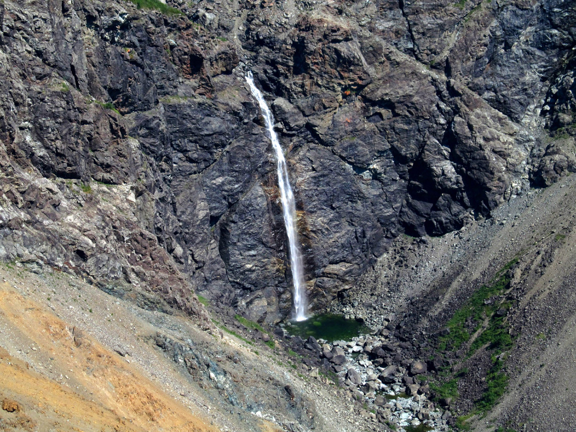
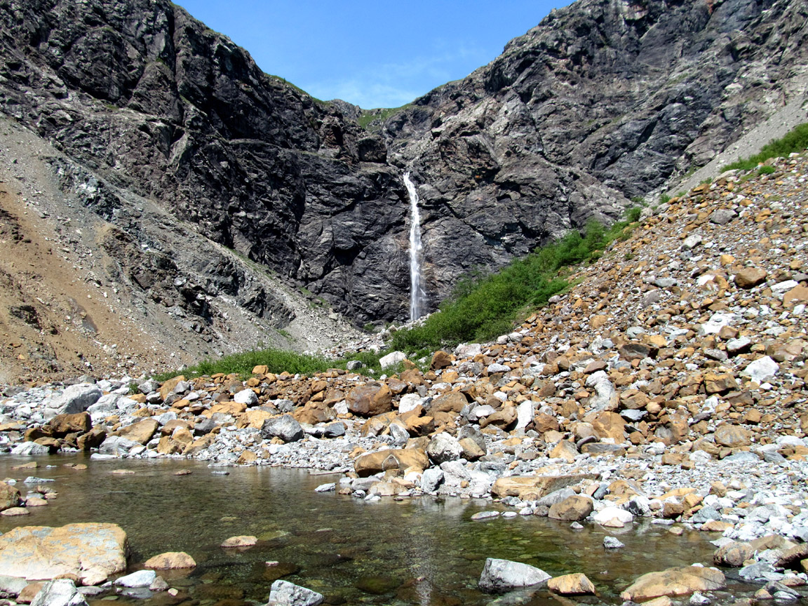
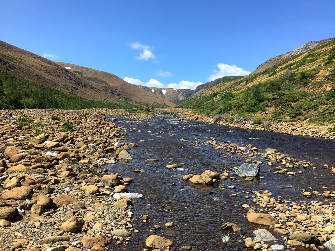
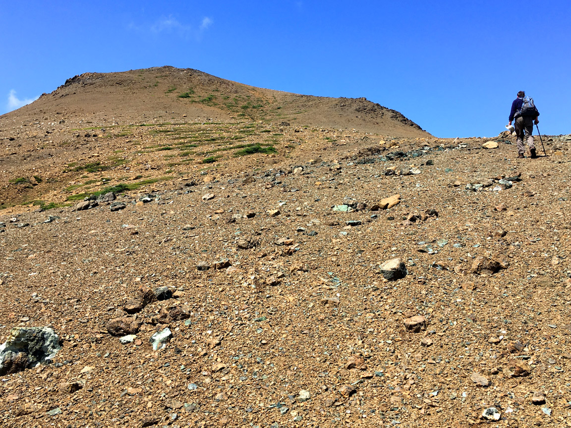
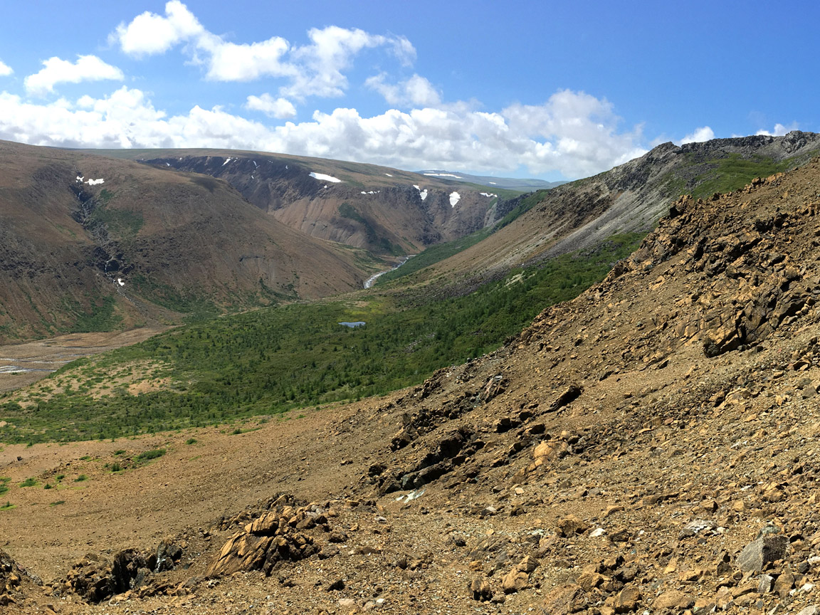
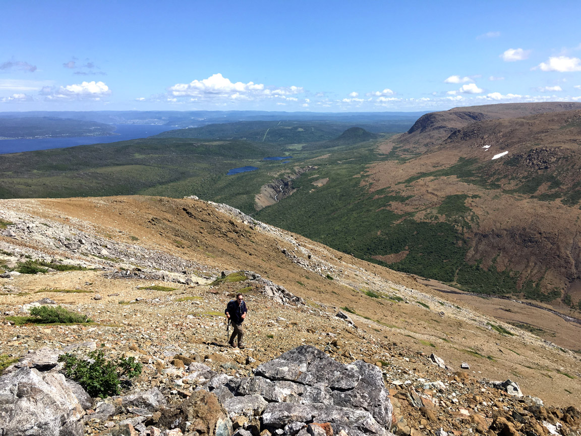
From the Hummock, hikers can walk an additional 2 kms to Blow Me Down Brook at the base of the mountains, then continue on up Blow Me Down Brook Gulch to Blow Me Down Brook Falls, or hike up The Sands to the top of the Blow Me Down Mountains. Here one will be surrounded by rust-colored peridotite from Earth’s upper mantle.
Blow Me Down Gulch to Blow Me Down Falls
Blow Me Down Brook to the top of The Sands
Access
The Salt Water Trail and Hummock Trail parking area is located on Salt Water Road immediately after turning off Route 450 above Frenchman’s Cove. For more information on the trails, go to www.iatnl.org.
Related Places & Nearby Attractions
Other examples of mélanges and broken formation can be seen at McIvers on the north shore of Humber Arm and at Peter Point on the eastern end of Woods Island in the mouth of Humber Arm.
Nearby attractions include Humber Arm South Day Park, Blow Me Down Brook delta, and Blow Me Down Brook Nature Trail, approximately 3-4 kms west of Frenchman’s Cove on Route 450.