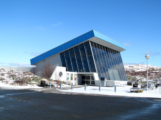
On February 22-23, 2016, IAT/Cabox Aspiring Geopark Chairperson Paul Wylezol attended the Geological Association of Canada Annual Technical Meeting at the Johnson Geo Centre in St. John’s, where he gave a presentation on the International Appalachian Trail, UNESCO Global Geoparks and Cabox Aspiring Geopark in Western Newfoundland.
The two-day meeting was attended by approximately 60 people and included presentations on a wide variety of geological subjects, from MUN Earth Science students to the Newfoundland & Labrador Geological Survey and industry representatives. Geologist Andy Kerr – who will give a special presentation entitled “Newfoundland, the Bay of Islands, and the Revolution in Geology” at the March 4 Cabox Aspiring Geopark general meeting in Corner Brook on March 4 – gave a presentation on the “Serpentinized Archean Ultramafic Rocks in the Hopedale Area, Labrador: Geology and Potential for Artisanal Stone Carving”.
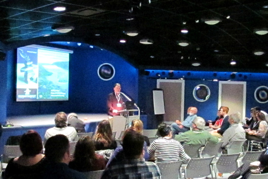
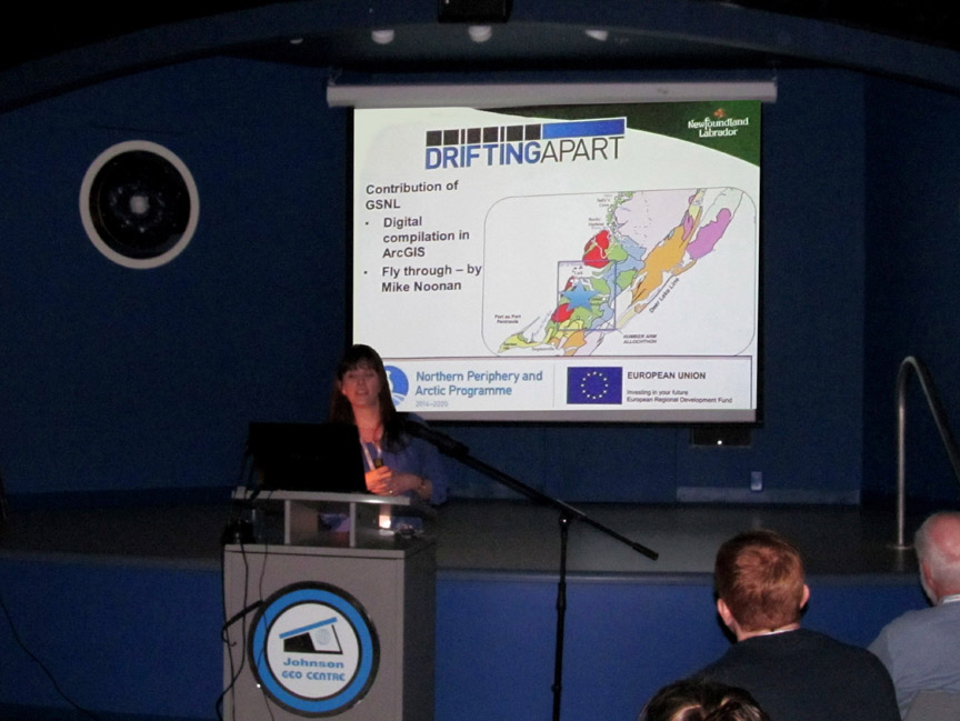
The Newfoundland Labrador Geological Survey’s Alana Hinchey gave a presentation entitled “From Experiential Tourism to Flying Drones: The Evolving Role of the Geological Survey in Geoheritage Projects.” The Survey is a sub-partner with Cabox Aspiring Geopark in the EU Interreg funded Drifting Apart Project.
Wylezol’s presentation – entitled “CABOX: Newfoundland’s Highest Point and an Aspiring UNESCO Global Geopark” – began with an introduction to the mission and extent of the International Appalachian Trail before describing its connection to UNESCO Global Geoparks and Cabox Aspiring Geopark in Western Newfoundland.
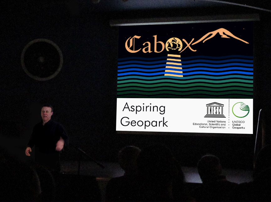
“From extending one of the world’s most famous trails across the Appalachian-Caledonian Orogeny to linking UNESCO Global Geoparks and Aspiring Geoparks, this presentation discusses the establishment of a showcase UNESCO Global Geopark spanning the Bay of Islands Ophiolite Complex and surrounding areas in Western Newfoundland. The Cabox Aspiring Geopark is a partner in the Drifting Apart project, which explores the links between diverse geological terranes now separated by the Atlantic Ocean. The project is funded by the European Union, but its scope extends beyond Europe to Eastern Canada. The Cabox project hopes to eventually shine an international spotlight on the province’s diverse and unique geological landscapes and the supporting role they played as the “Galapagos of Plate Tectonics”.”
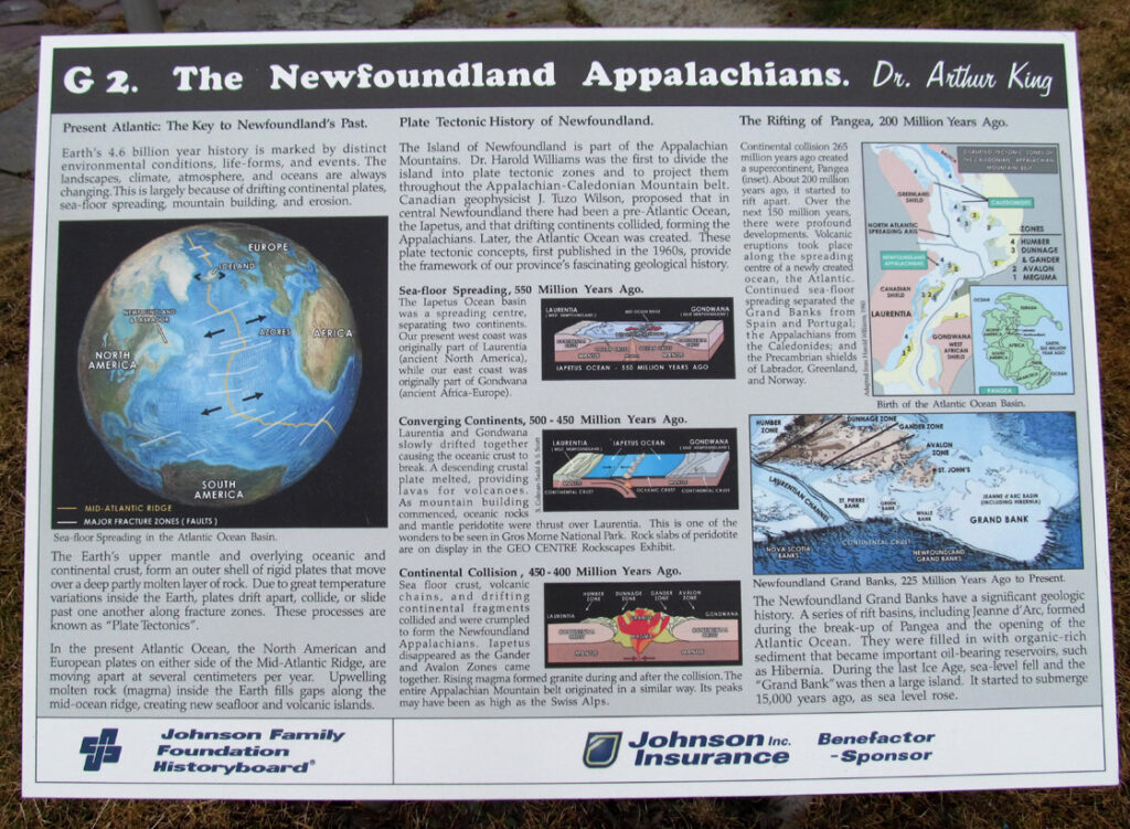
The Johnson Geo Centre is a $12-million geological interpretation centre that is the result of more than four years of research, planning, design, and construction. It was built in a natural rock basin that was originally filled with peat, covering glacial till and boulders. The basin was excavated and the centre constructed to fit between more than 500 linear feet of exposed rock walls. Even the building’s heating system is an attraction. Six geothermal wells, each over 500 feet deep, were drilled to either extract heat from the deep rocks in winter or dissipate heat in the summer.
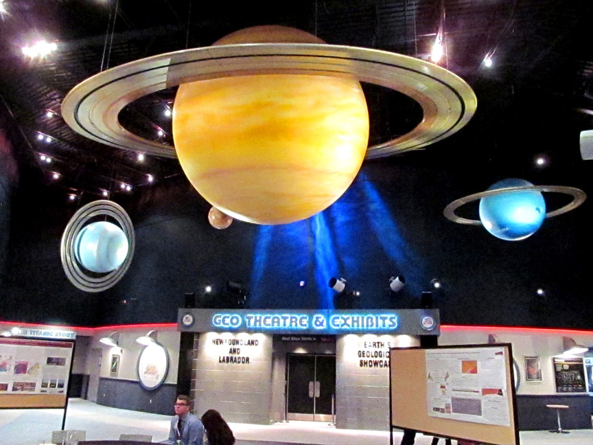
The Centre is located mid-way up Signal Hill in view of Cabot Tower. Out front are bronze statues of the province’s two dogs: the Newfoundland and Labrador
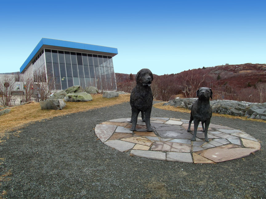
and a walking trail leading to a commanding view of St. John’s historic harbour and waterfront.

For more on the Geo Centre, go to the Johnson Geo Centre website.

