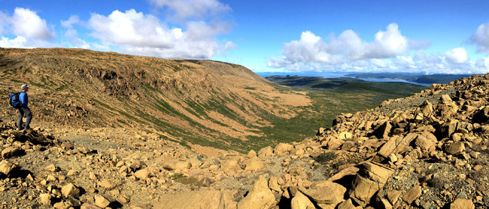
Within the 3500 square kilometers of Cabox Geopark, there are several geographically distinct regions which offer terrific hiking opportunities, from municipal parks and forested river valleys to tuckamore coastlines and barren mountain ranges.
The “trails” themselves range from easy well-developed municipal pathways to moderately difficult primitive footpaths and challenging unmarked backcountry routes. The regions are shown on the map below, with page links provided from the following photo gallery.
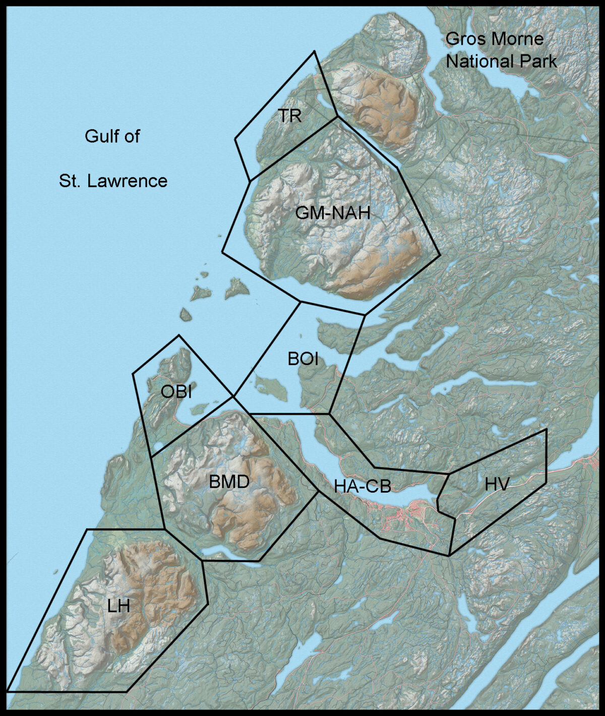
HV
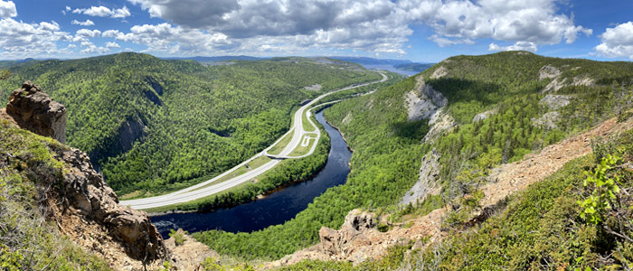
Humber Valley
HA - CB
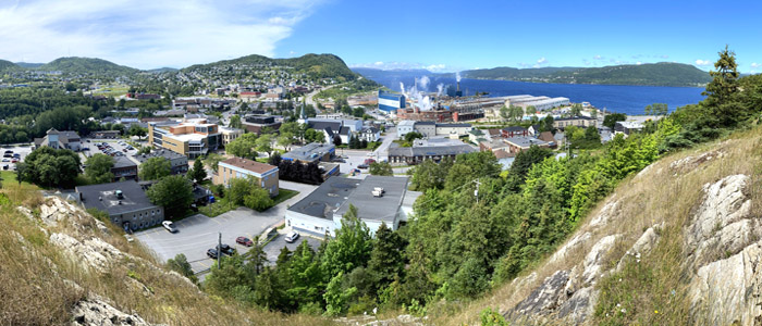
Humber Arm & Corner Brook
OBI
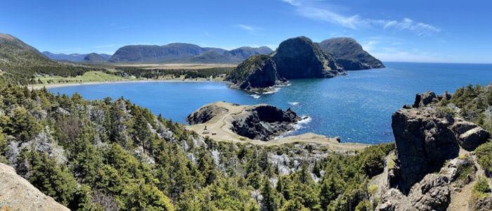
Outer Bay of Islands
BOI
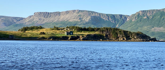
Bay of Islands
LH
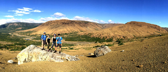
Lewis Hills
GM - NAH
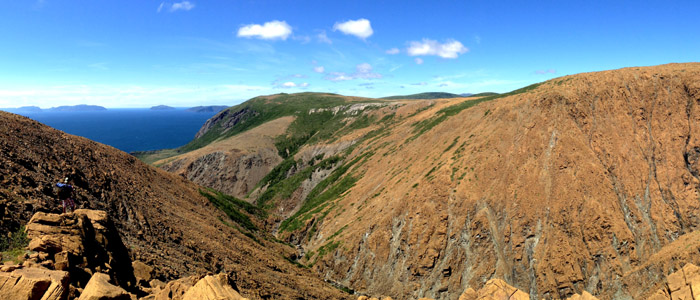
Gregory Mountains & North Arm Hills
TR
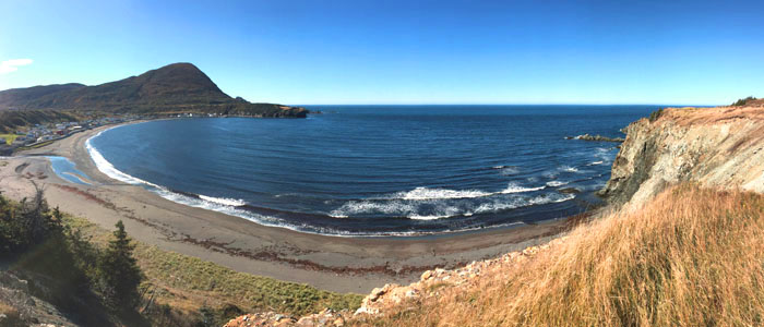
Trout River

