During the summer of 2019, the IATNL made several exploratory treks into the Blow Me Down Mountains east of Blow Me Down Brook in search of new trail routes to connect the mountains to Benoit’s Cove and the new Cabox Geopark Information Center at Saltbox restaurant. Plan calls for routes to link to the IATNL Blow Me Down Mountain Trail and Cabox Geopark’s UltramaTrex.
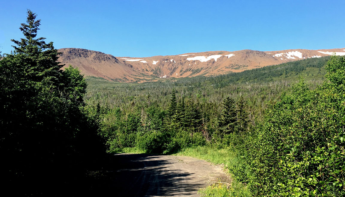
One route that requires little work begins at the Clarks Brook future bridge site below Benoit’s water supply and follows an existing ATV/snowmobile trail for approximately 1km before turning off to the left and following a 2km track across a beautiful and pristine wetland with a view of the mountains as far as the Sands above Blow Me Down Brook.
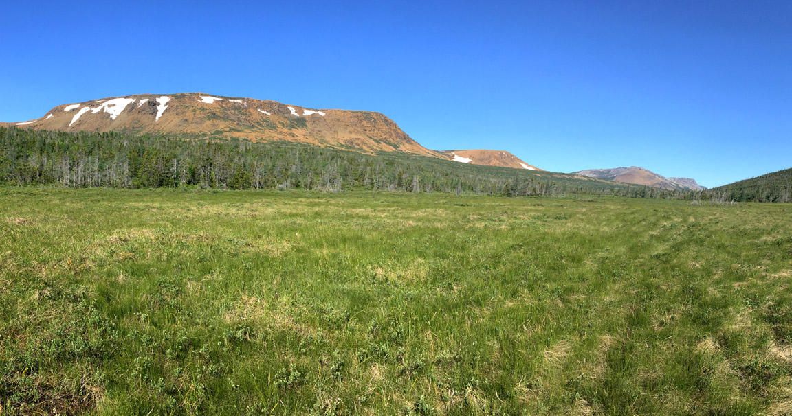
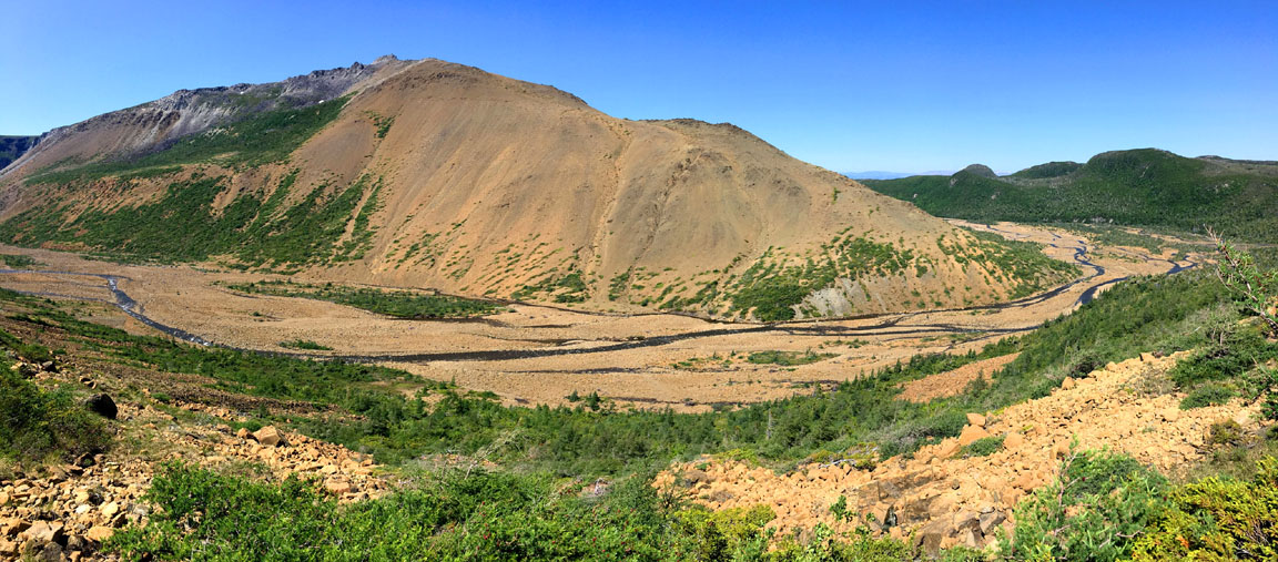
From there the route gradually climbs uphill for .75km then makes a right (i.e. west) turn and follows the base of the mountains to a large valley where a series of crystal-clear cascades makes its way toward Blow Me Down Brook approximately 2.5kms to the northwest.
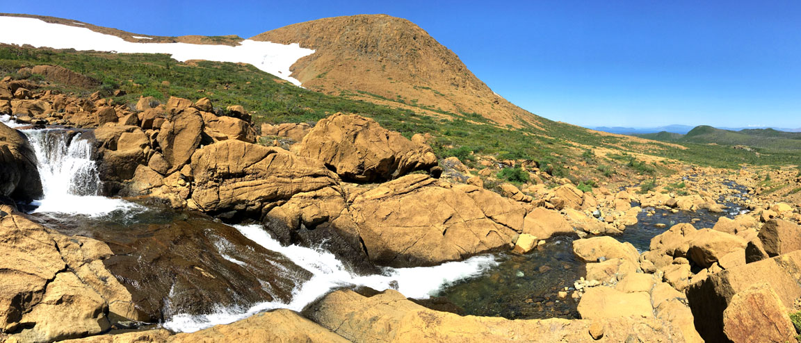
At this point hikers can continue in the direction of the brook by way of a gently sloping serpentine barrens before descending into the valley itself and joining the Blow Me Down Mountain Trail route through Blow Me Down Gulch.
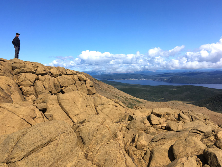
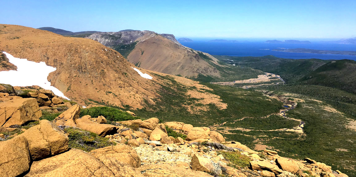
Alternatively, hikers can walk up through the valley alongside the cascade before turning left and climbing up over a headland with terrific views of the lower section of Blow Me Down Brook, Bay of Islands including Weeball, Pearl and Tweed Islands, and the Sands mountain slope topped with gabbro outcrops.
For more on the story, go to the IATNL website…