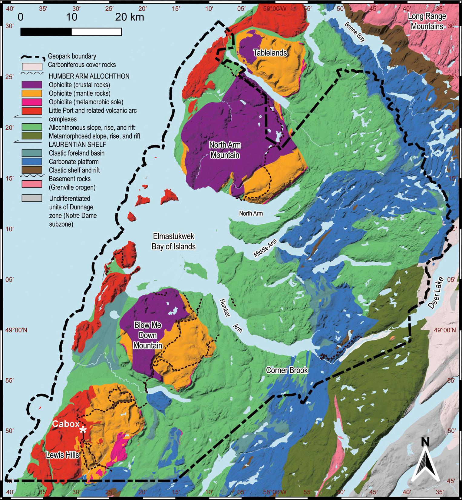
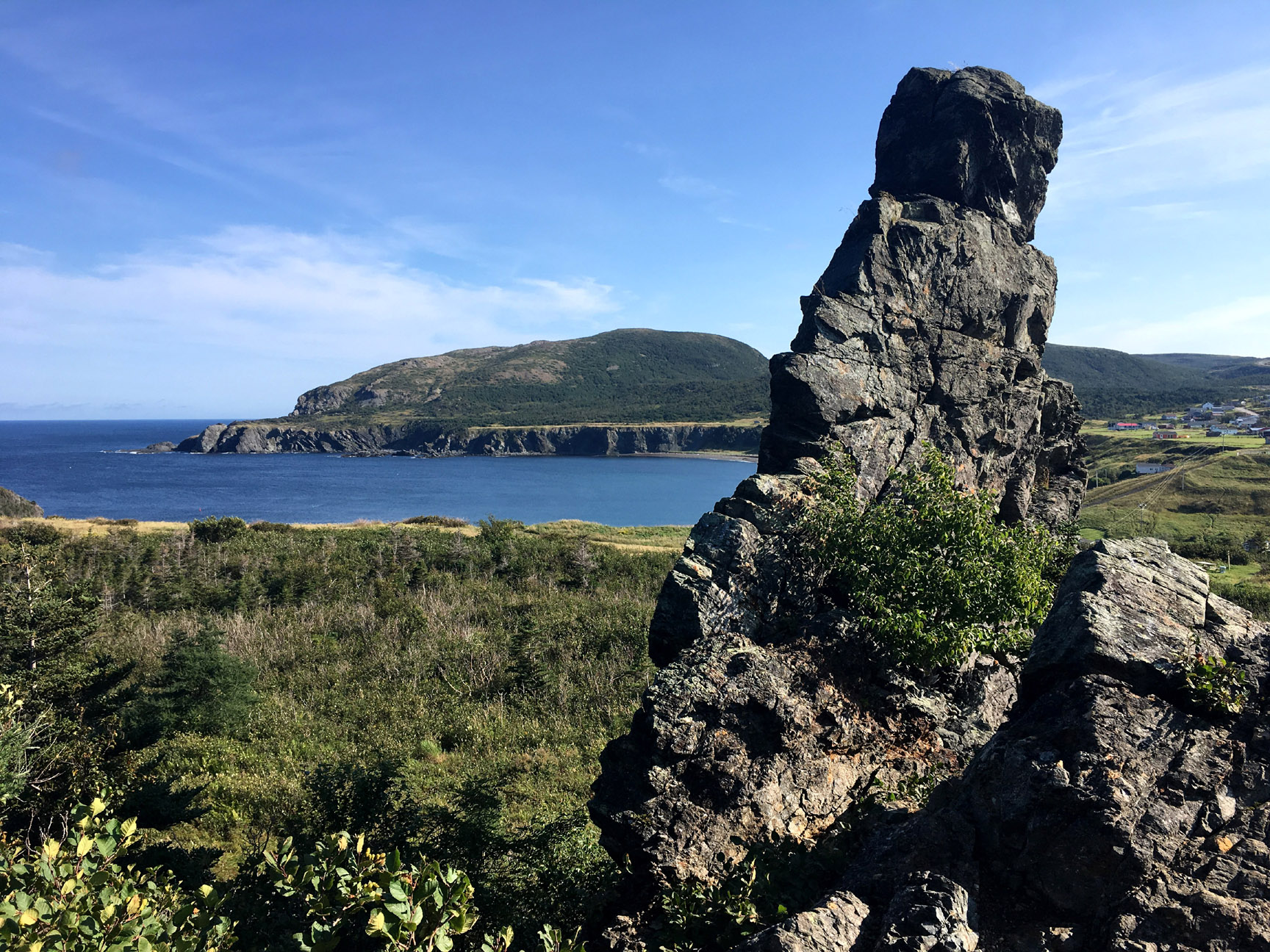
Cabox Aspiring Geopark spans the central features of the Humber Arm Allochthon in Western Newfoundland, including the three largest massifs of the renowned Bay of Islands Ophiolite (composed of oceanic crust and Earth’s upper mantle), the Little Port Volcanic Arc Complex that formed above the subduction zones that closed the Iapetus Ocean, and folds and faults of the continental slope and rise that surrounded the ancient continent of Laurentia during the formation of the Appalachian Mountains. To the east, it includes the carbonate shelf succession that formed on the edge of Laurentia prior to the formation of the Appalachians.
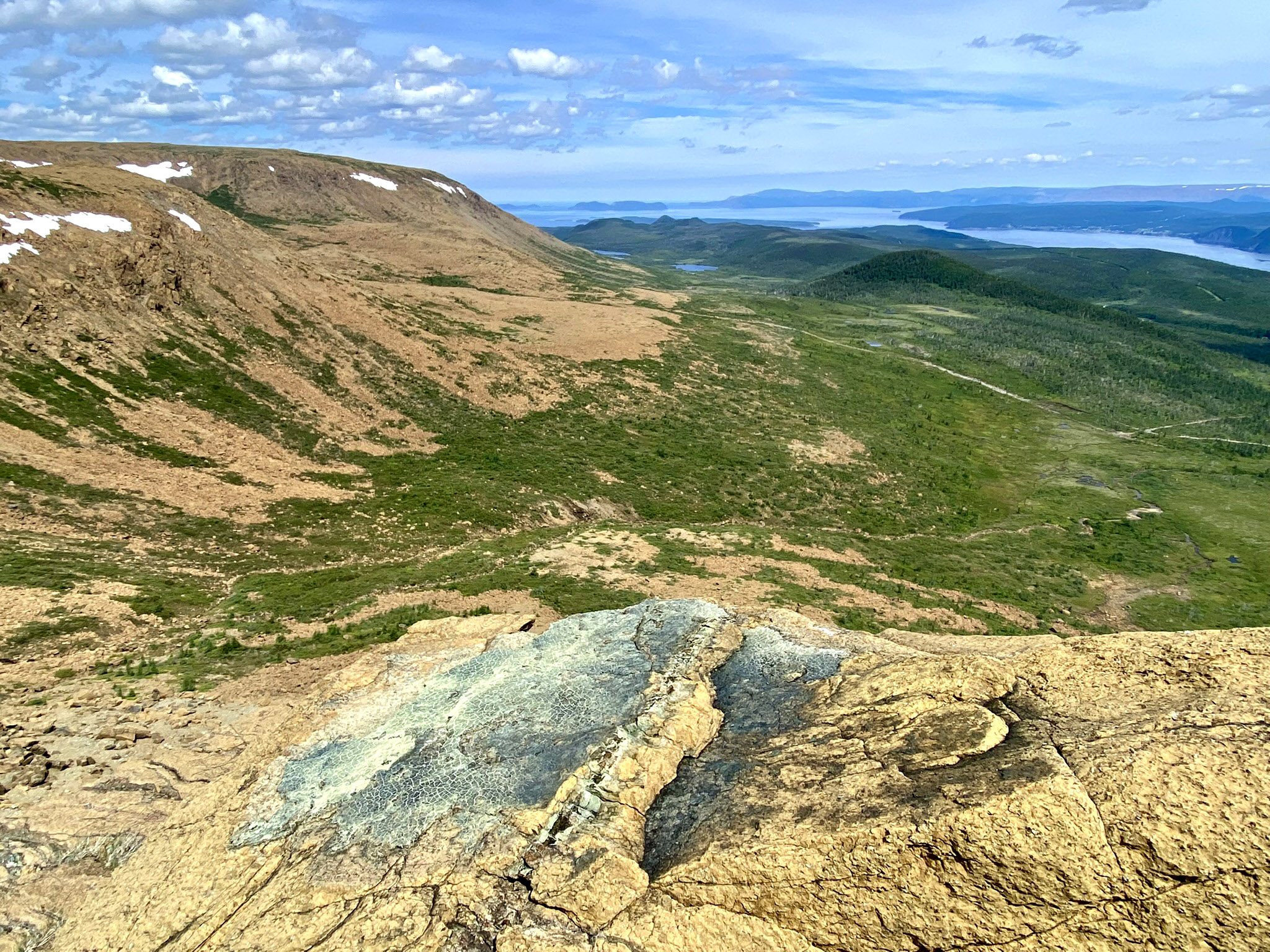
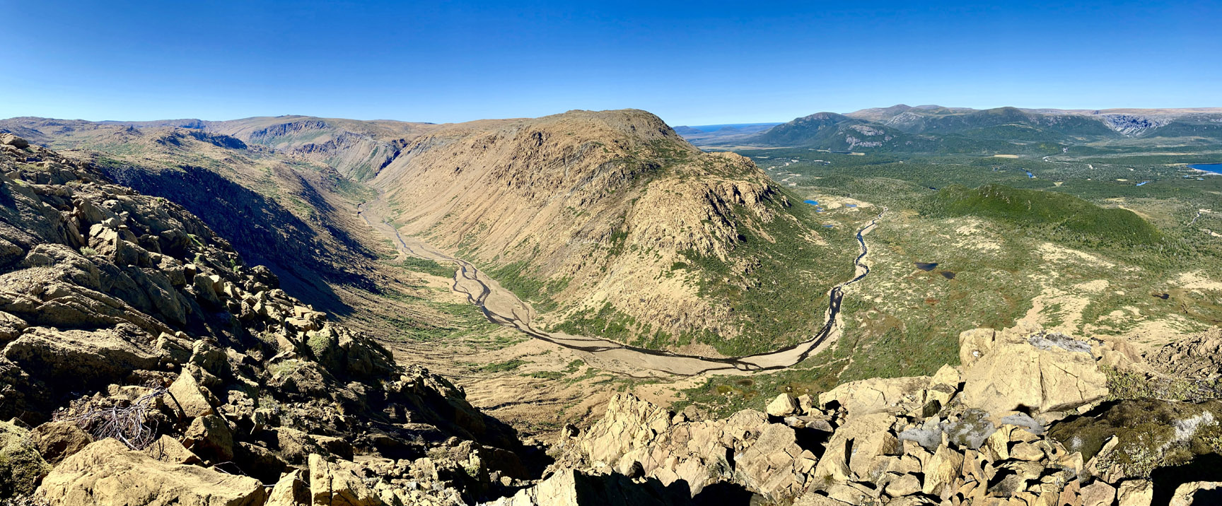
The four famous massifs of the Bay of Islands Ophiolite Complex were among the first to be identified as ancient oceanic lithosphere (along with examples in Cyprus and Oman), following the development of the scientific theory of plate tectonics in the 20th century. The barren hilltops, especially in the mantle sections, carry unique flora and fauna adapted to the alpine environment and thin, magnesium-rich soils. The southernmost massif, the Lewis Hills, contains the highest point (Cabox) on the Island of Newfoundland, while the Blow Me Down Mountain massif contains a historically mined volcanic massive sulphide deposit from the ancient floor of the Iapetus Ocean. Farther north, North Arm Mountain (including Gregory Mountains in the west) contains a complete ophiolite section from mantle to sea-floor, while the northernmost Tablelands massif, within the adjacent Gros Morne National Park, contains much-visited mantle rocks.
View of East Blow-Me-Down Mountains and Humber Arm
View of North Arm Hill from Metamorphic Sole at Pond Point
View of Red Rocky Gulch, Lewis Hills, with Blow-Me-Down Mountains at background right
To the west of the Bay of Islands Ophiolite Complex, two other mainly igneous units, the Little Port and Mount Barren assemblages, record older arc rocks, the earliest evidence for subduction in the Iapetus Ocean.
View of Molly Ann Gulch, from Mount Barren section of Lewis Hills
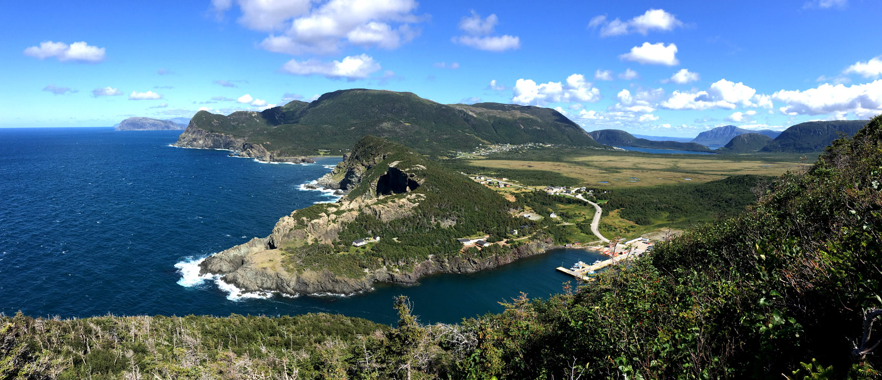
Sea Stack and Isostatic Rebound at Trout River
View of Little Port Harbour, with Weeball Island at background left and Cape Blow-Me-Down at background right
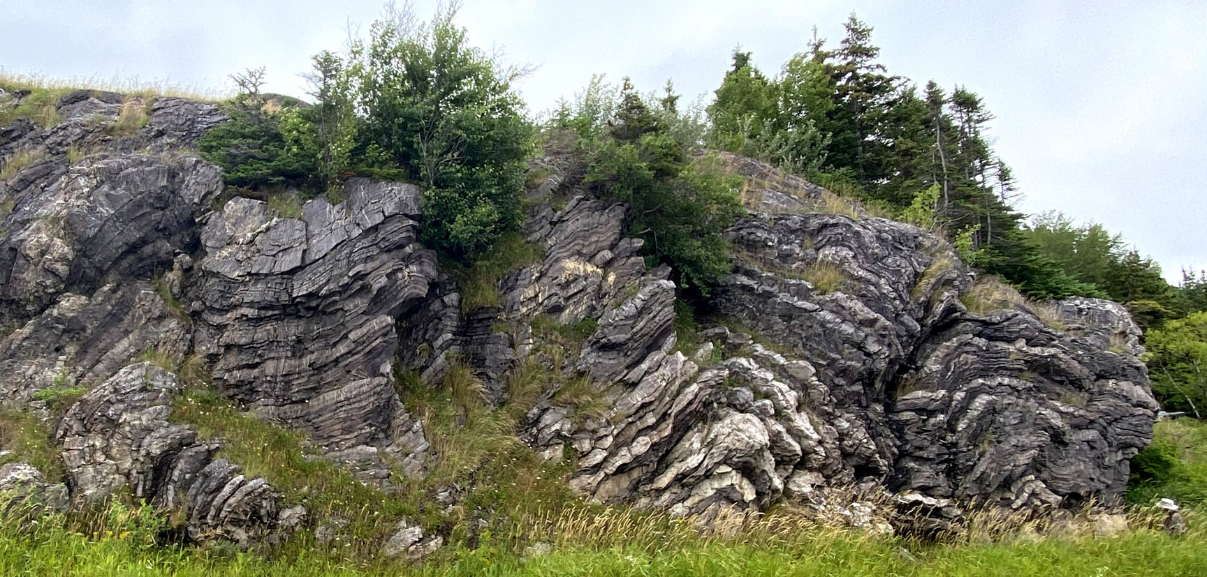
Beneath these mainly igneous units, deep water sedimentary units of the Humber Arm Allochthon record the evolution of the continental slope and rise of Laurentia (ancient North America). The rocks include conglomerate, sandstone, limestone, and shale deposited by turbidity currents and debris flows during the Cambrian and Ordovician periods, and contain a record of life on a tropical continental margin.
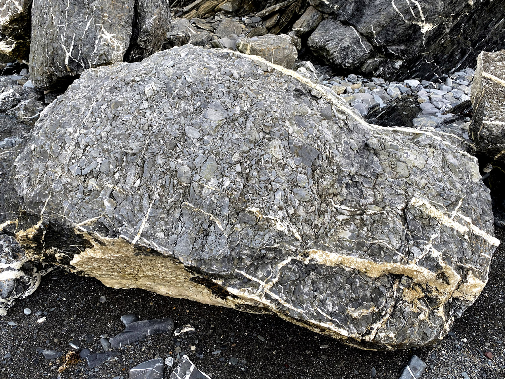
Conglomerate Boulder at Cox's Cove
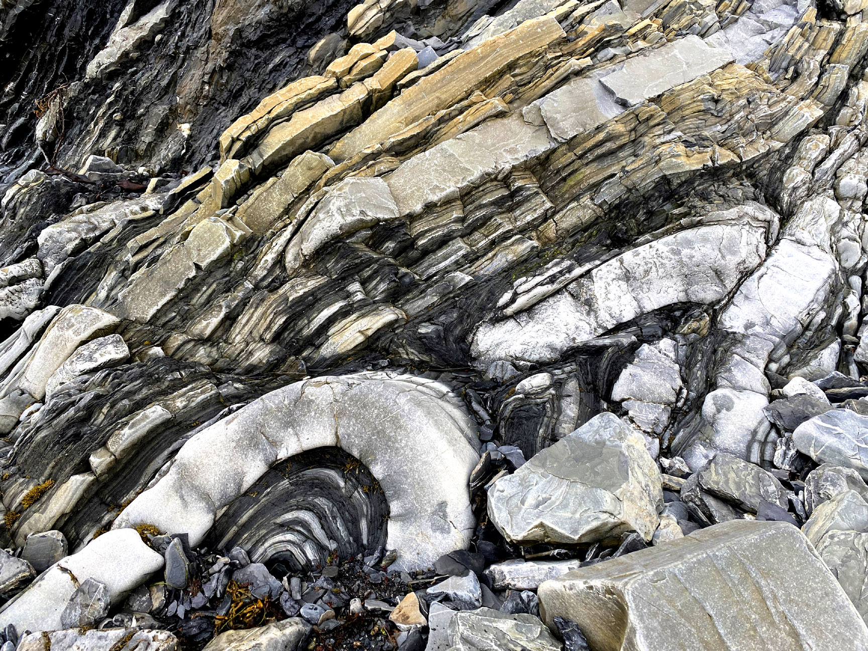
Sedimentary bedding and fold at Cox's Cove
Sedimentary folds of the Curling Group at Summerside, Route 440
Beneath the basal thrust of the Humber Arm Allochthon, a parautochthonous to autochthonous succession, dominated by cliff-forming platform carbonates, records shelf environments that existed on the Laurentian margin during the same time interval.
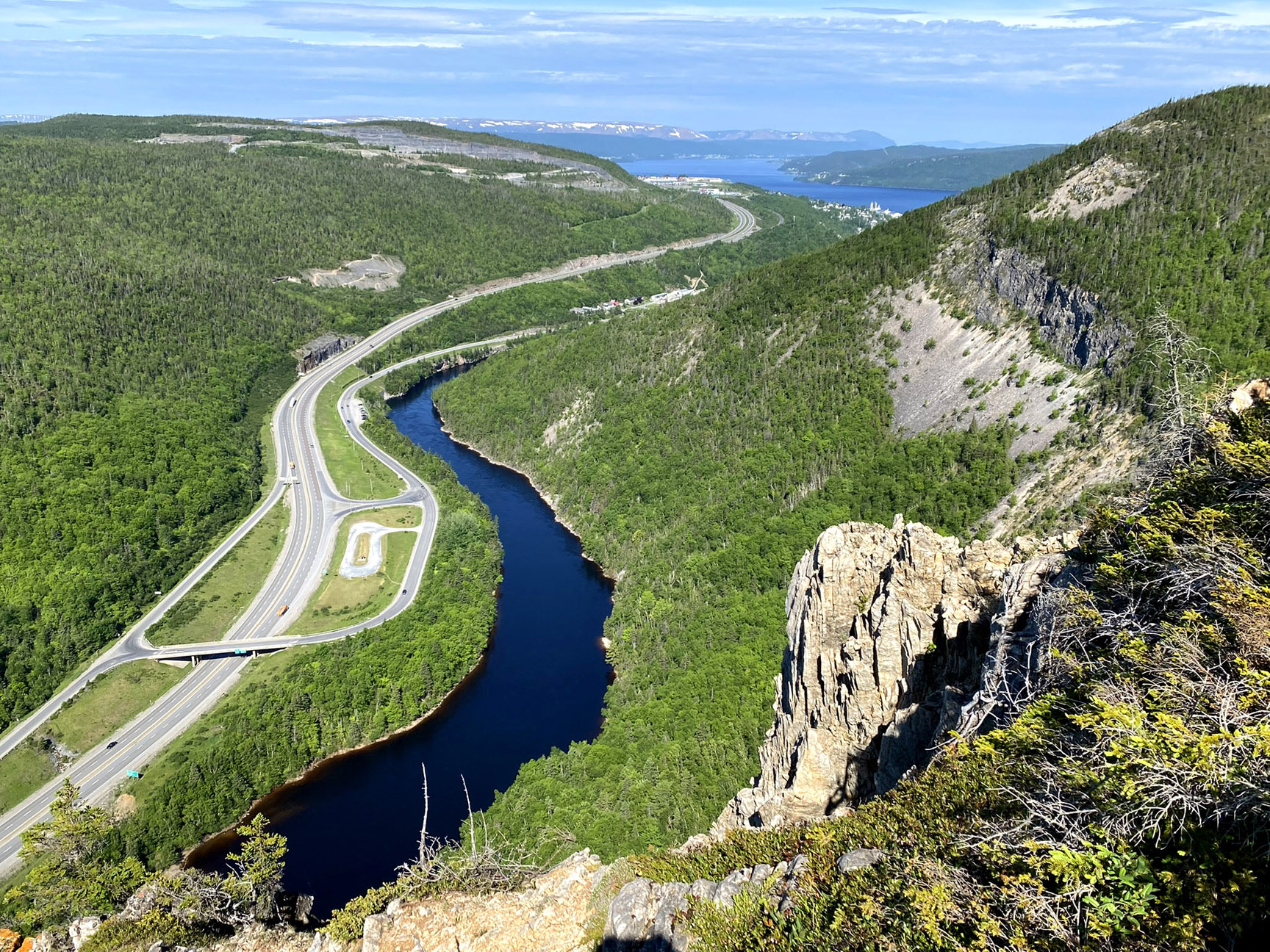
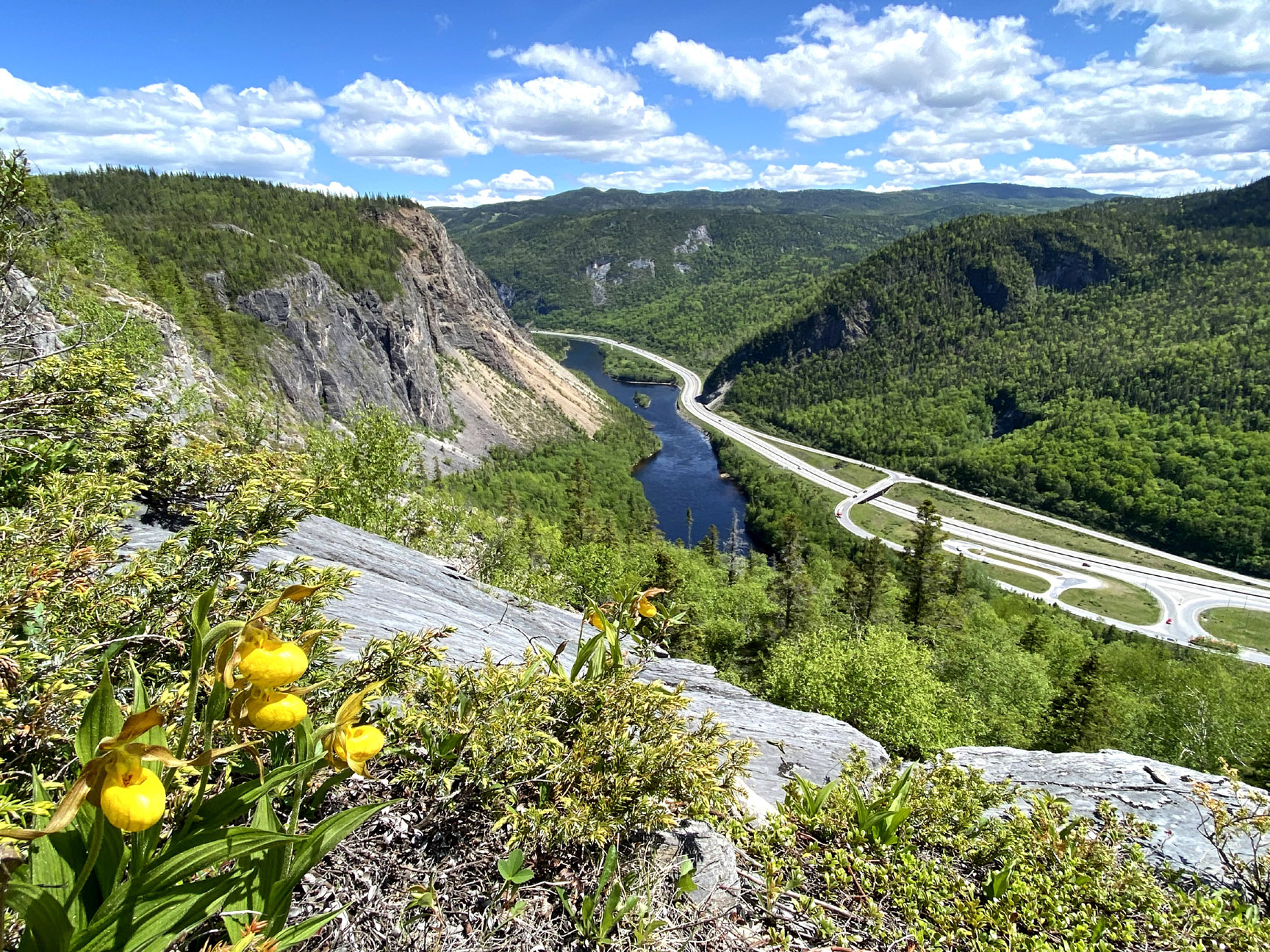
View from above Man In The Mountain, Humber Valley
View of lower Humber Valley
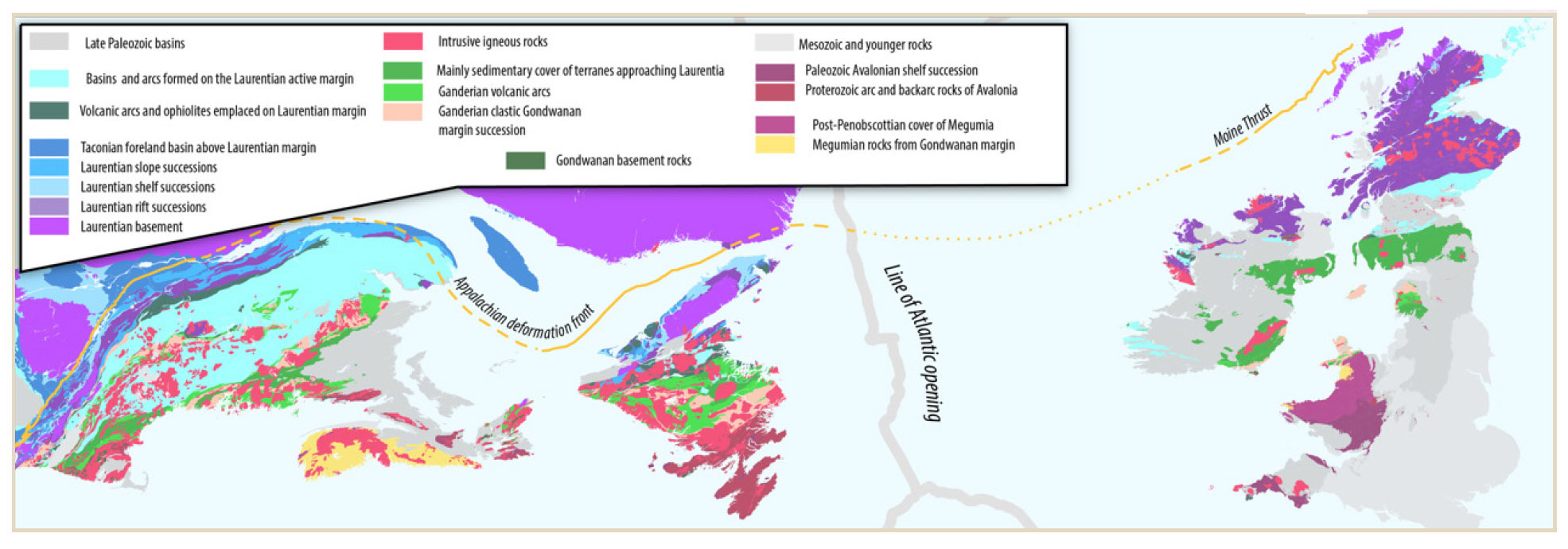
The three realms — ocean floor, slope, and shelf — were juxtaposed during the mid-Ordovician Taconian orogeny marking an arc continent collision during the closing of the Iapetus Ocean at the start of the building of the Appalachians, forming thrust faults and mélanges. Silurian subduction beneath the Laurentian margin produced spectacular folds and slate development during the Salinic orogeny; in the Devonian, the rocks were thrust westward again in the Acadian orogeny, marking closure of the last strand of the Iapetus Ocean. Related structures can be traced southwestward into the Appalachians of mainland Canada and the USA, and eastward (across the much more recent Atlantic Ocean) into the Caledonides of Ireland, Scotland, and Norway.
Tectonic Map of Northern Appalachians and Caledonides of Ireland and Great Britain
Glacial erosion has exposed the rocks in accessible coastal and roadside outcrop sections. The International Appalachian Trail takes more adventurous visitors to the highest peaks and most remote valleys.
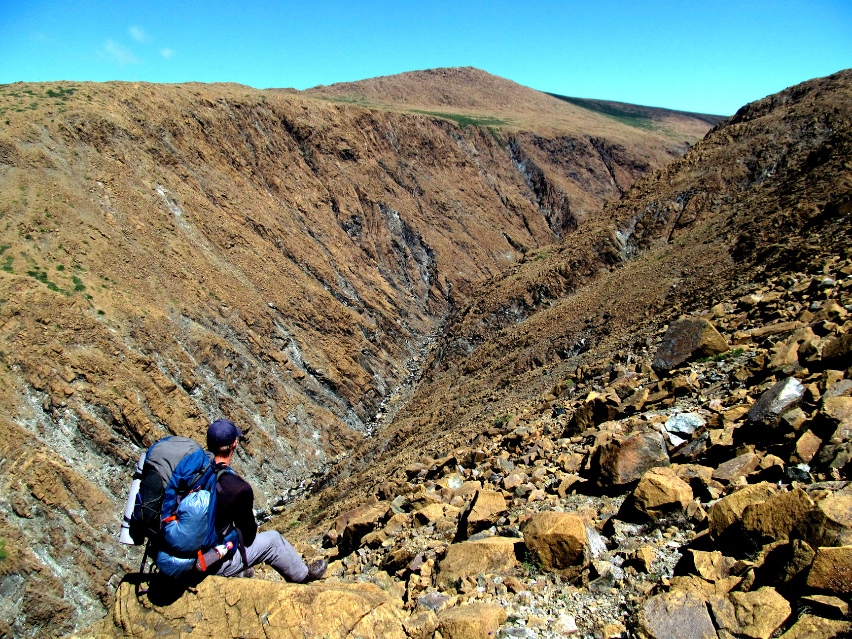
View of Stowbridges (aka Stone Brook) Gulch, North Arm Hills
The Bay of Islands area occupies an accessible central position that has been pivotal for the understanding of plate tectonics and one of the world’s best studied orogens.