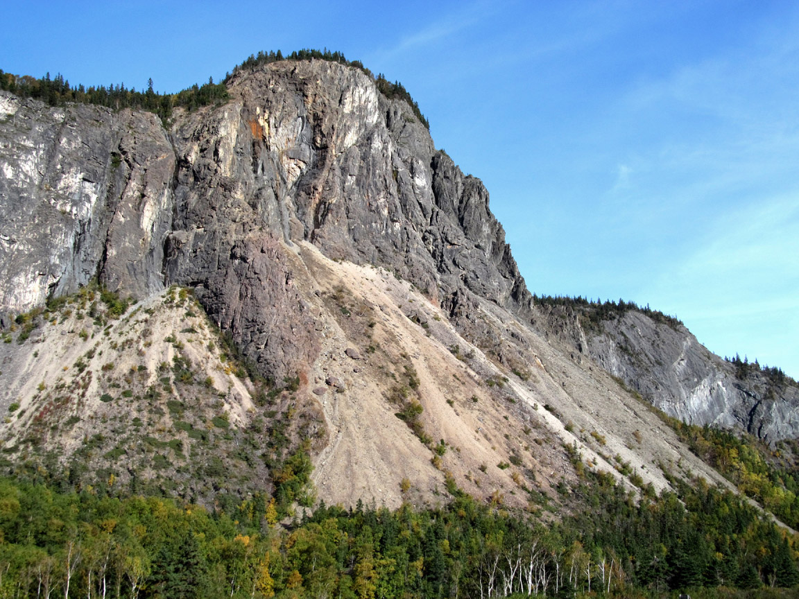
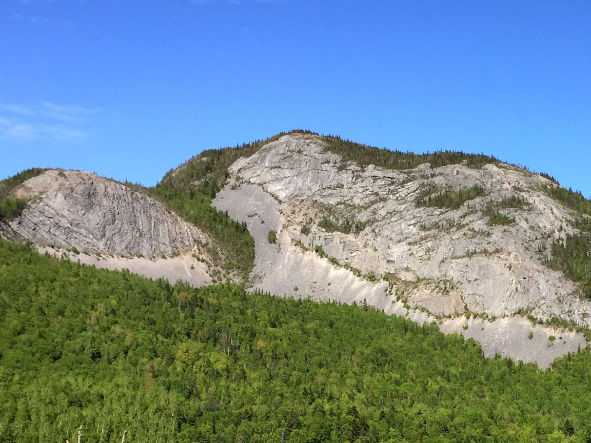
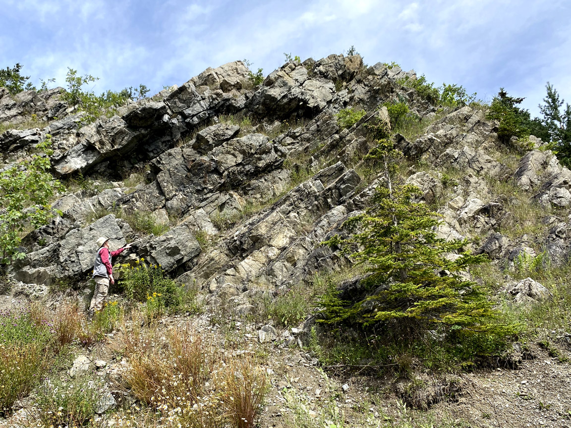
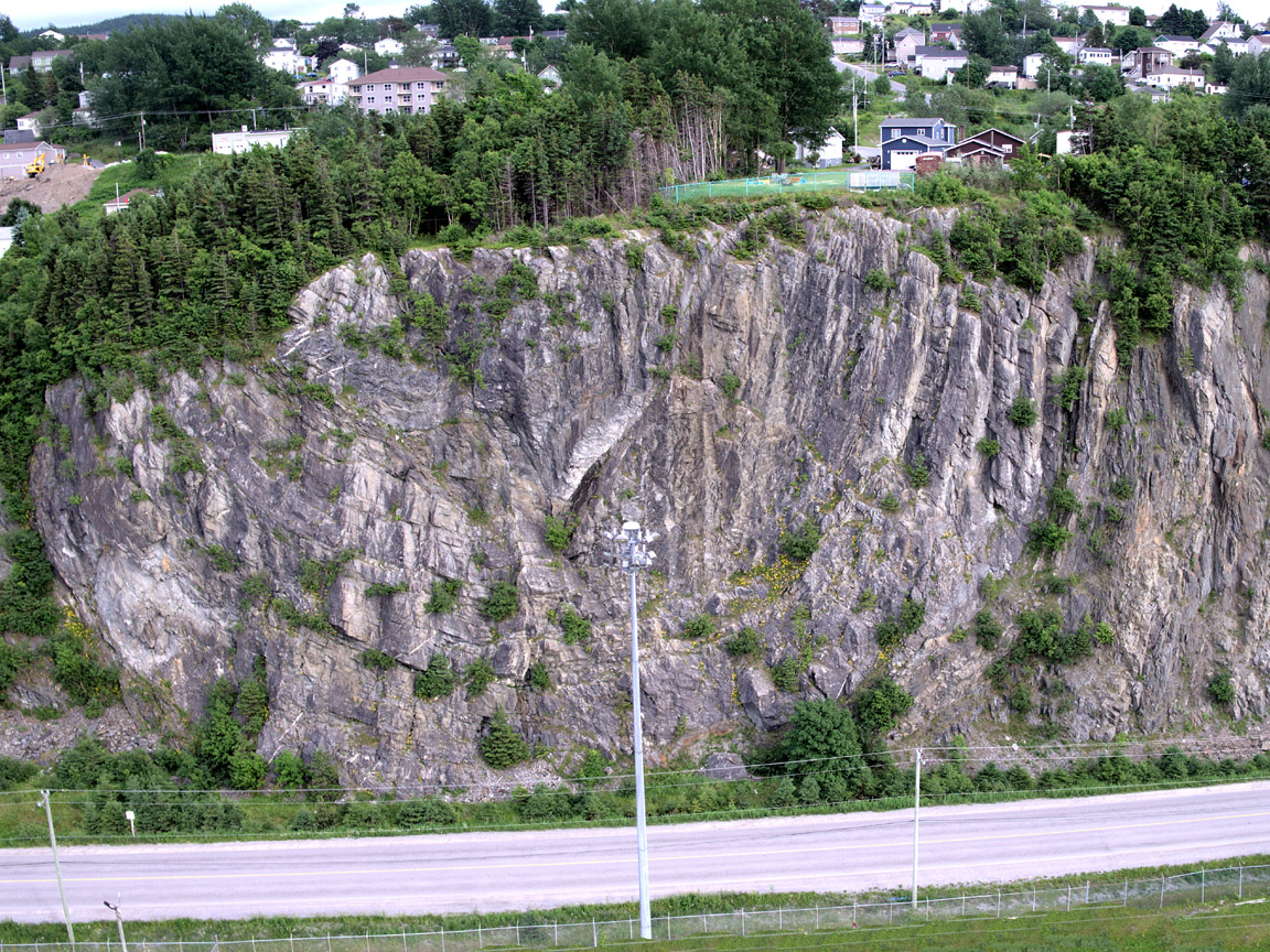
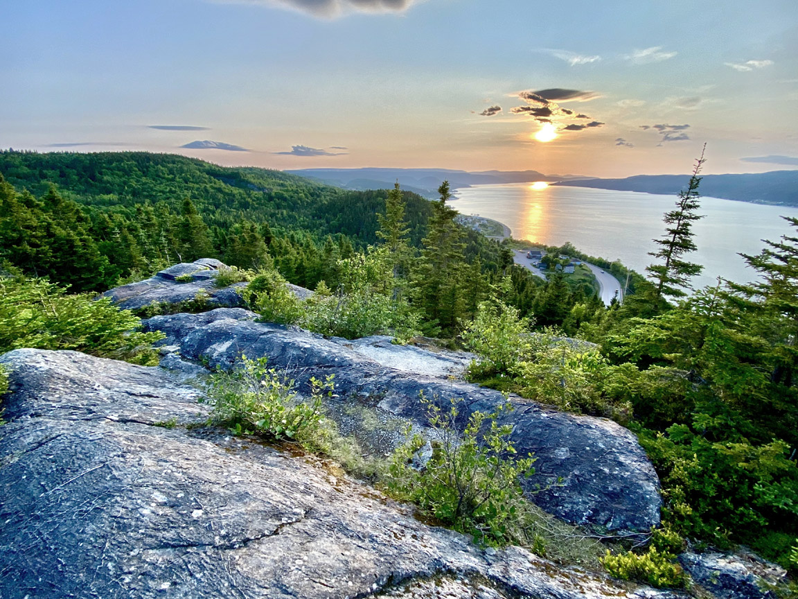
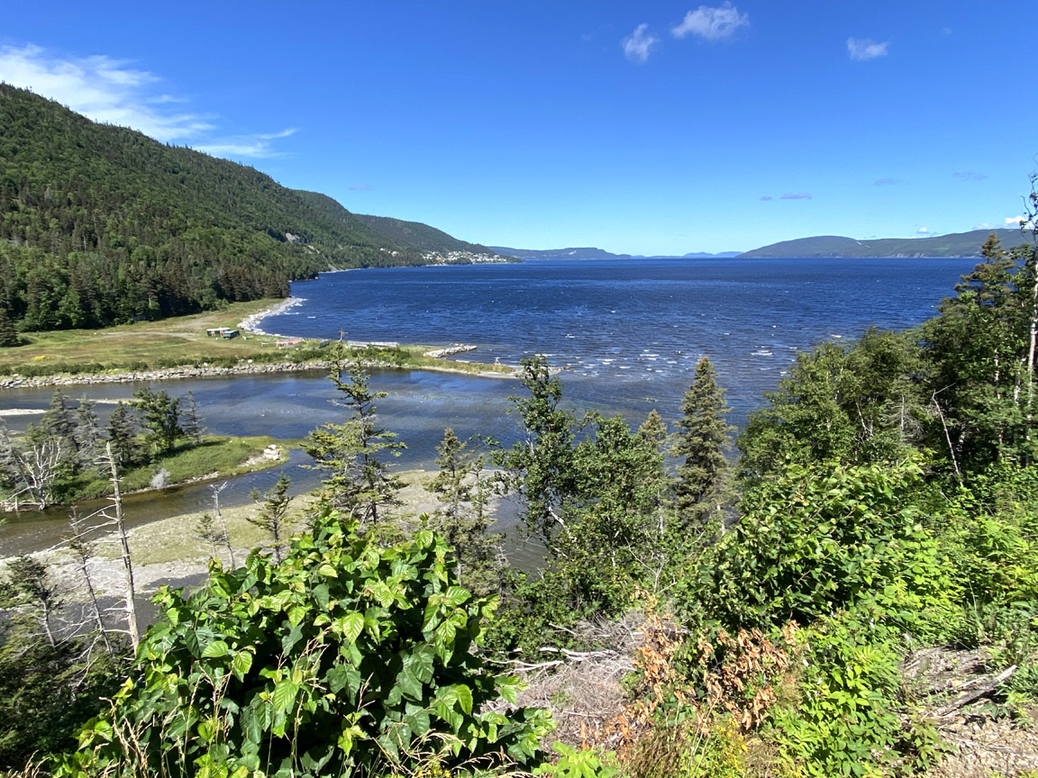
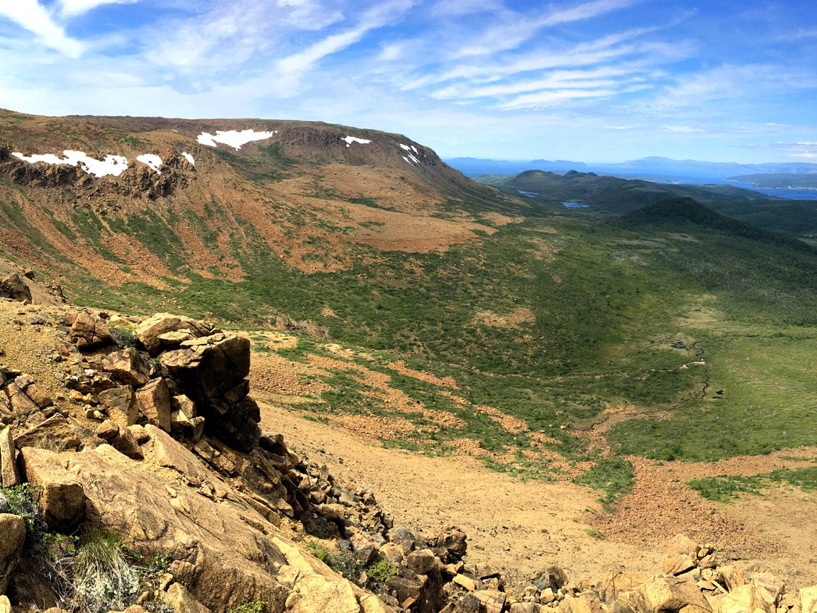
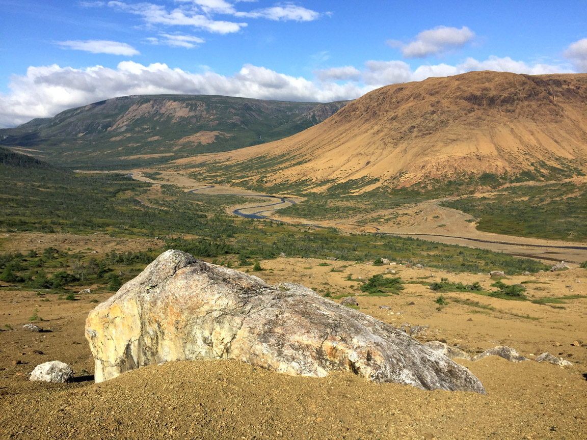
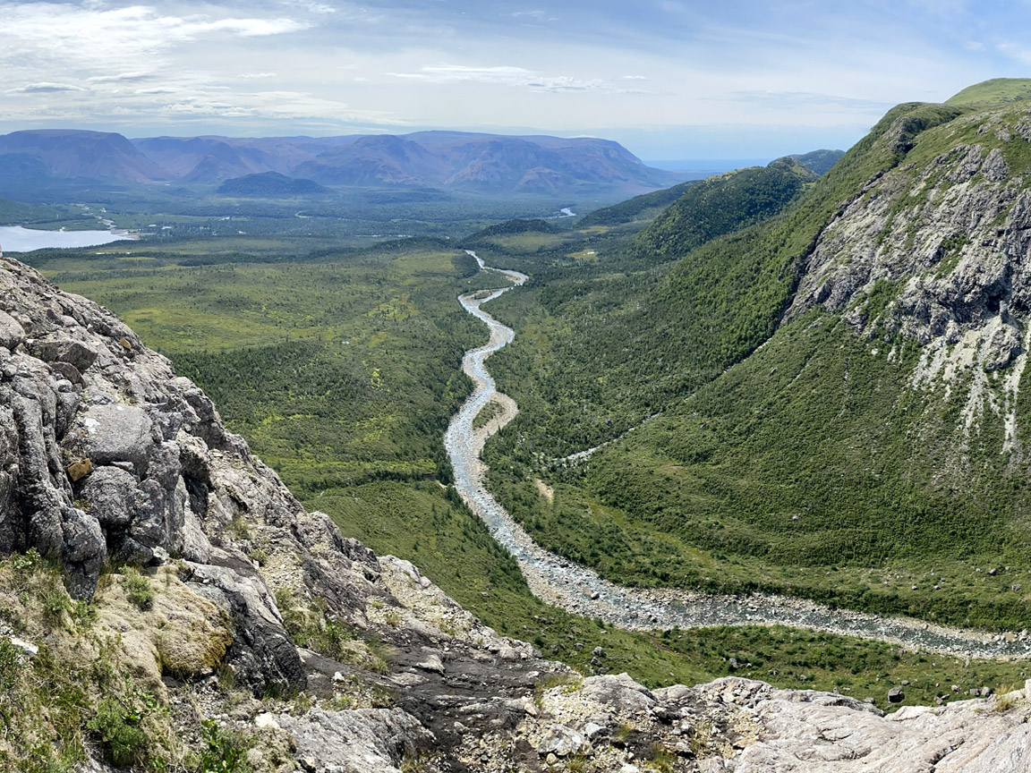
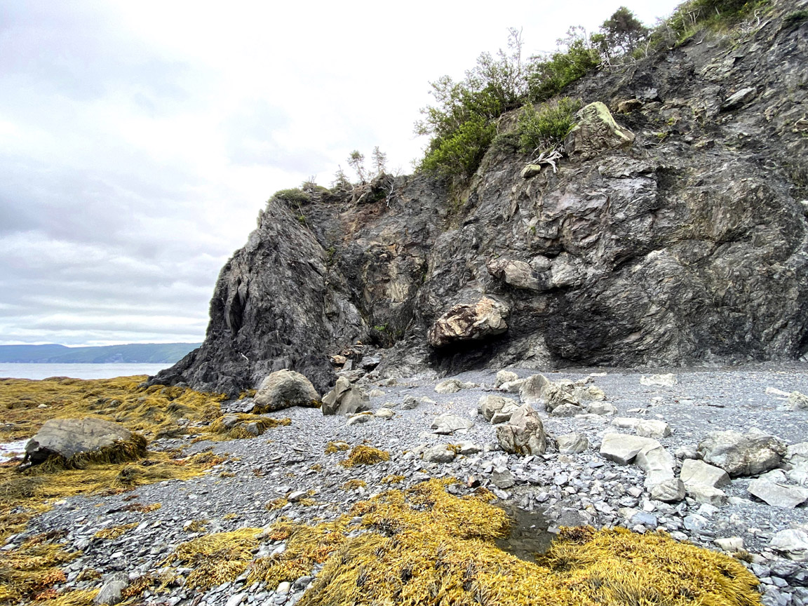
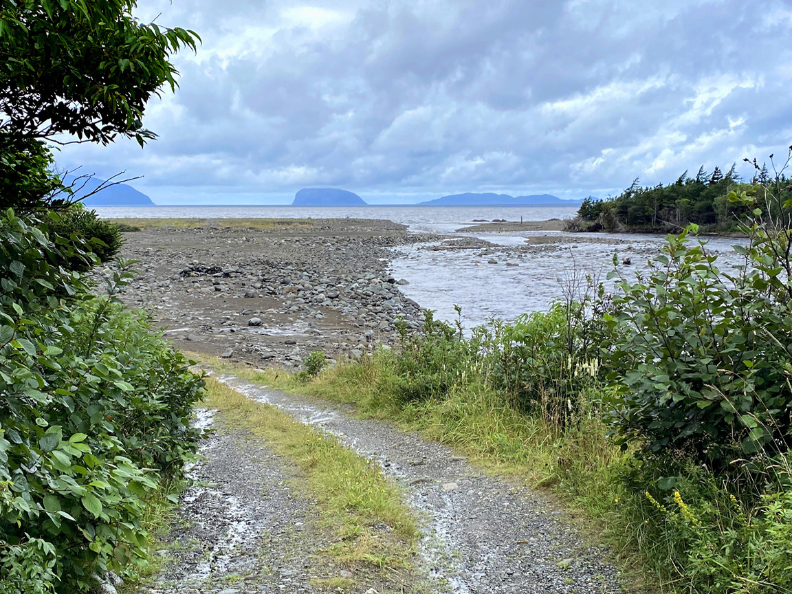
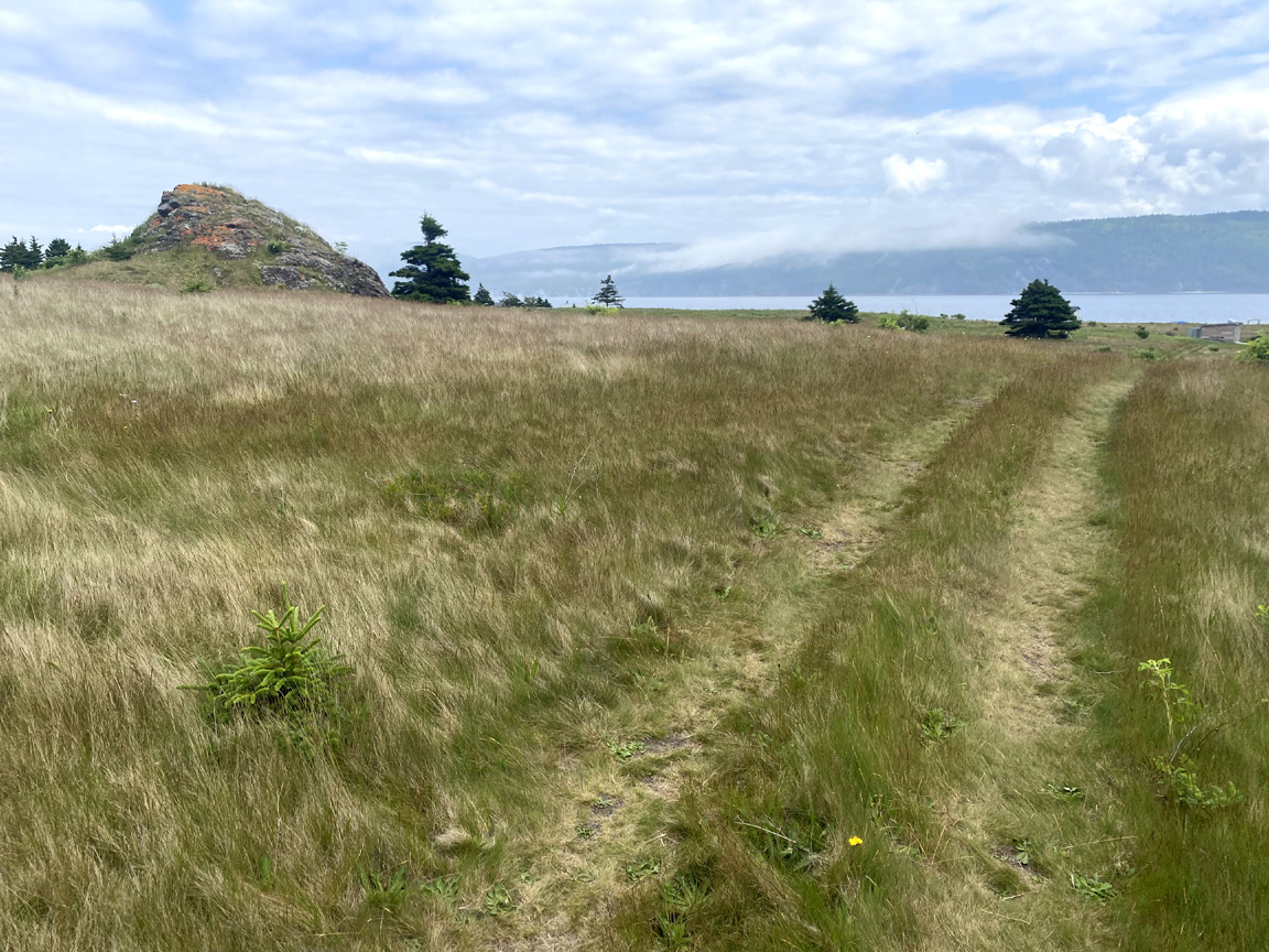
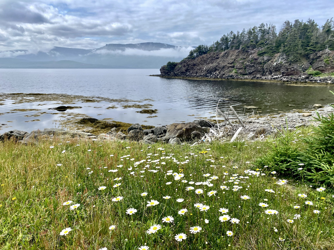
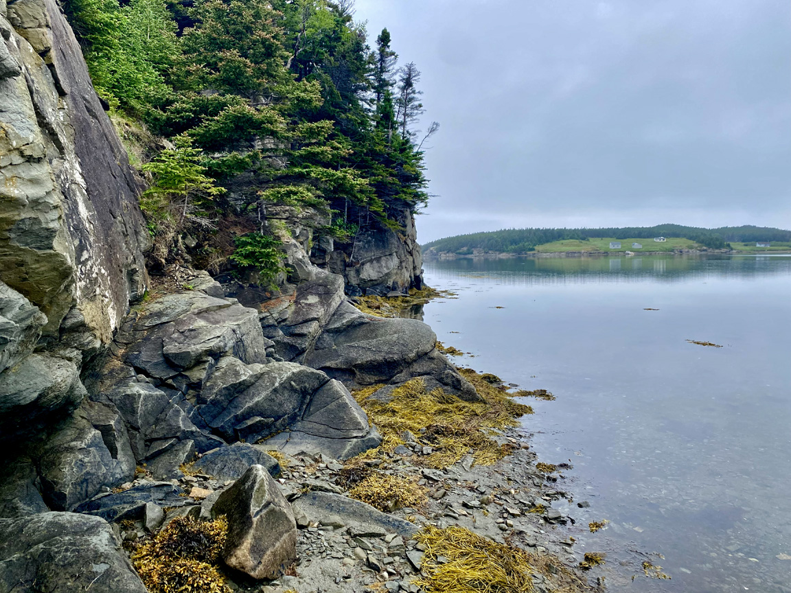
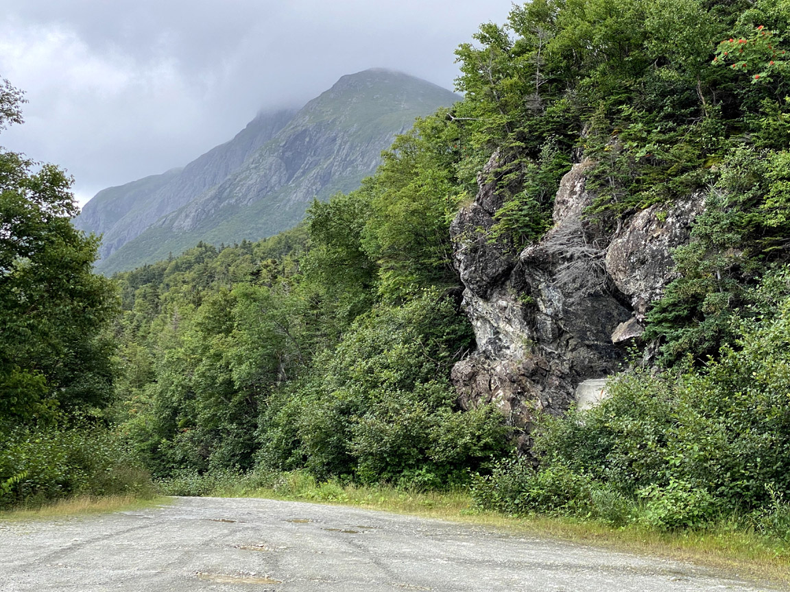
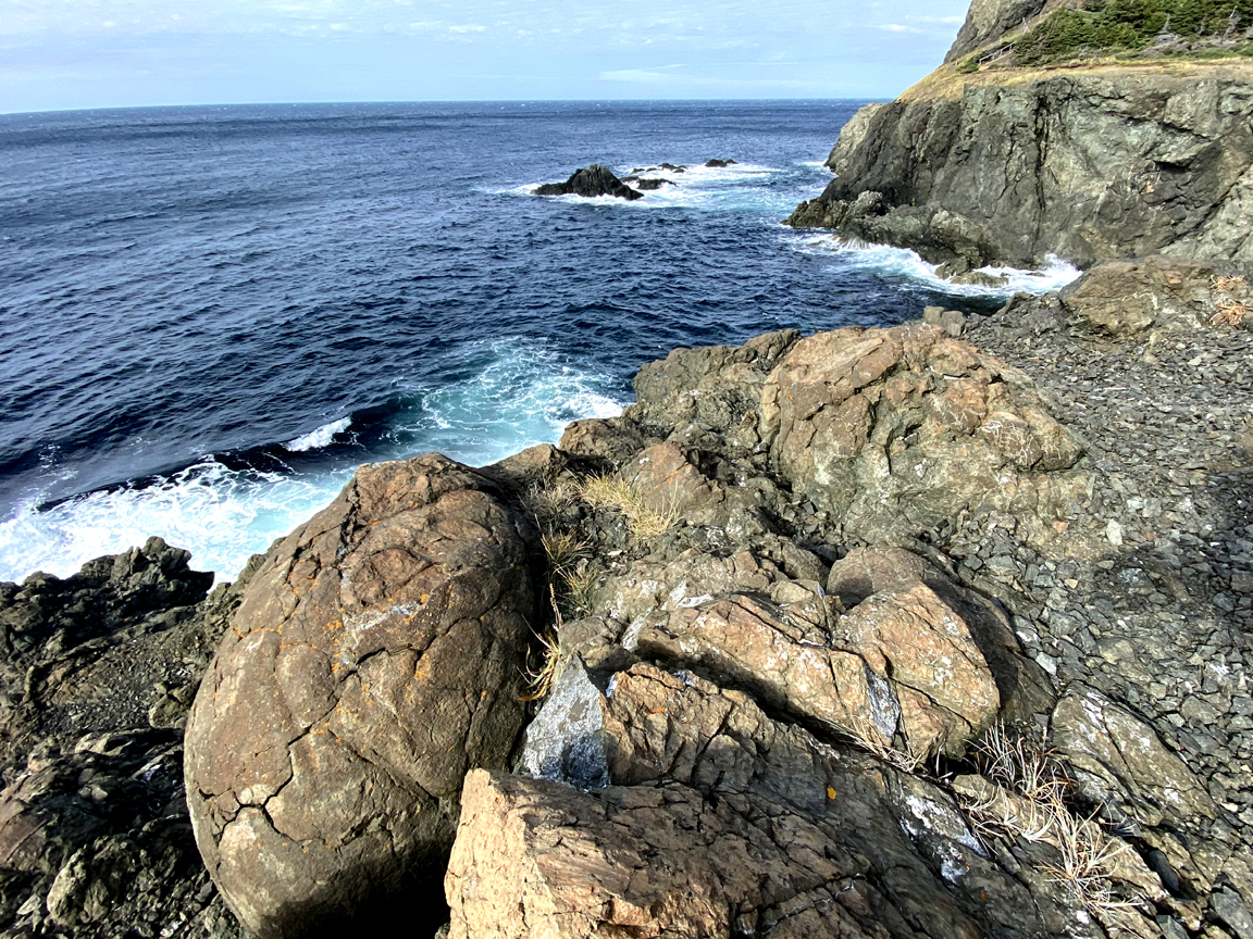
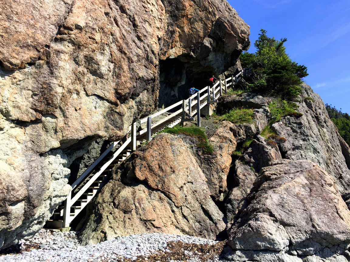
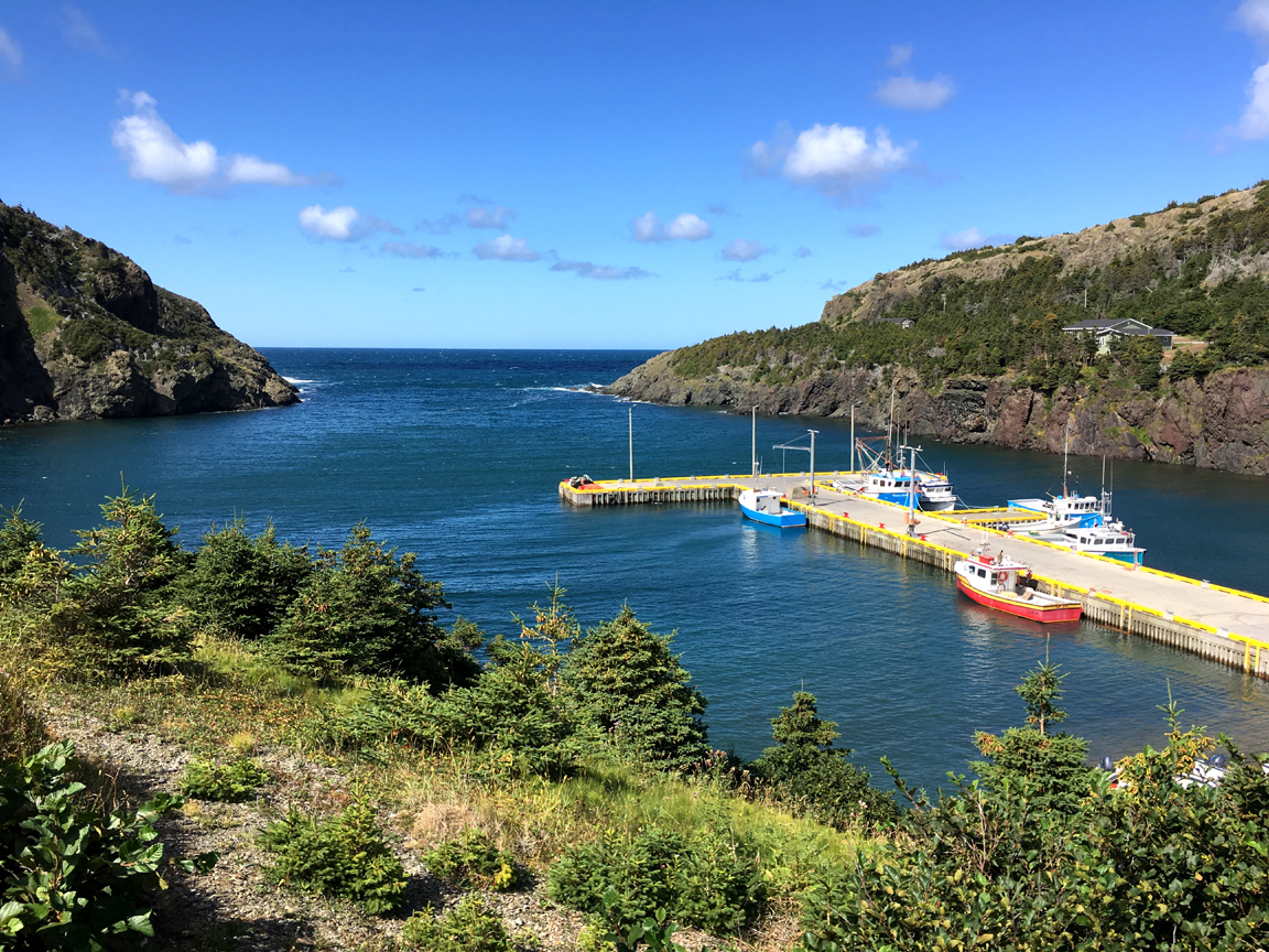
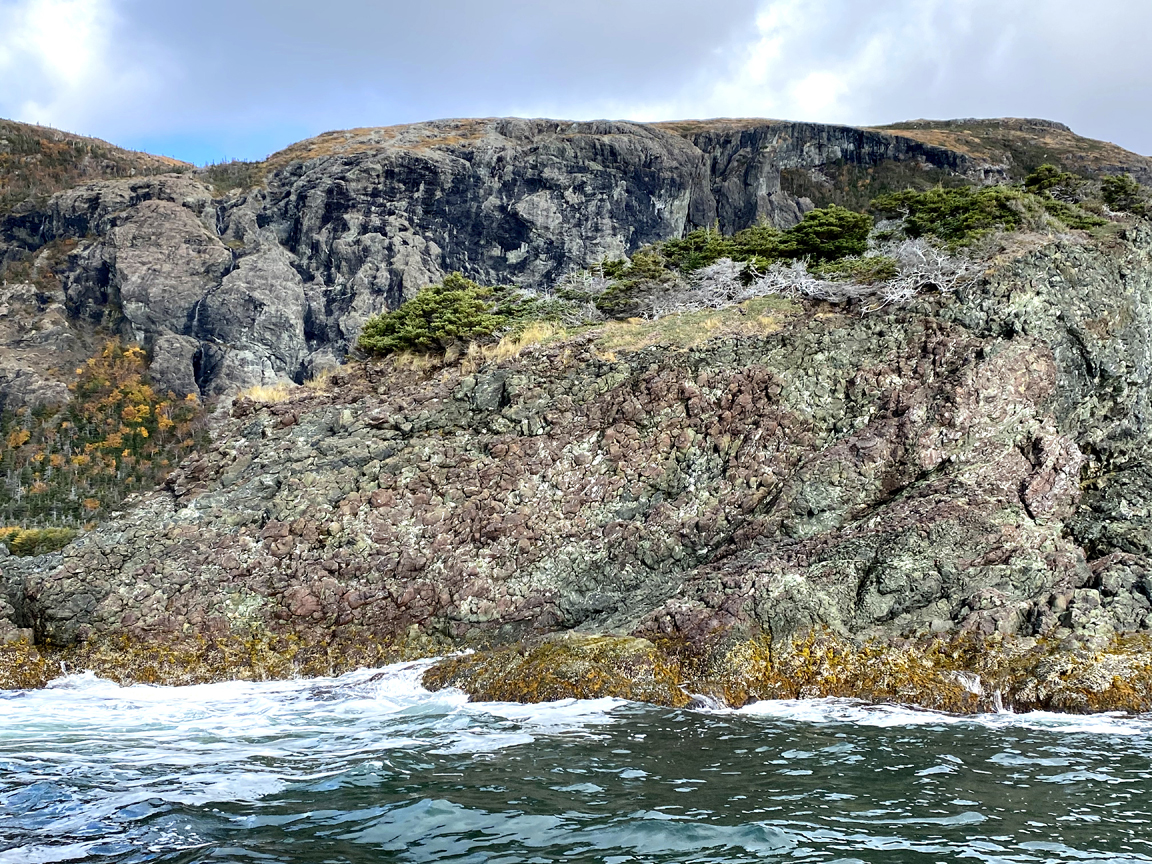
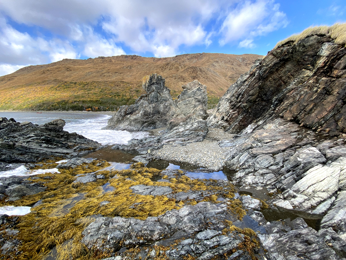
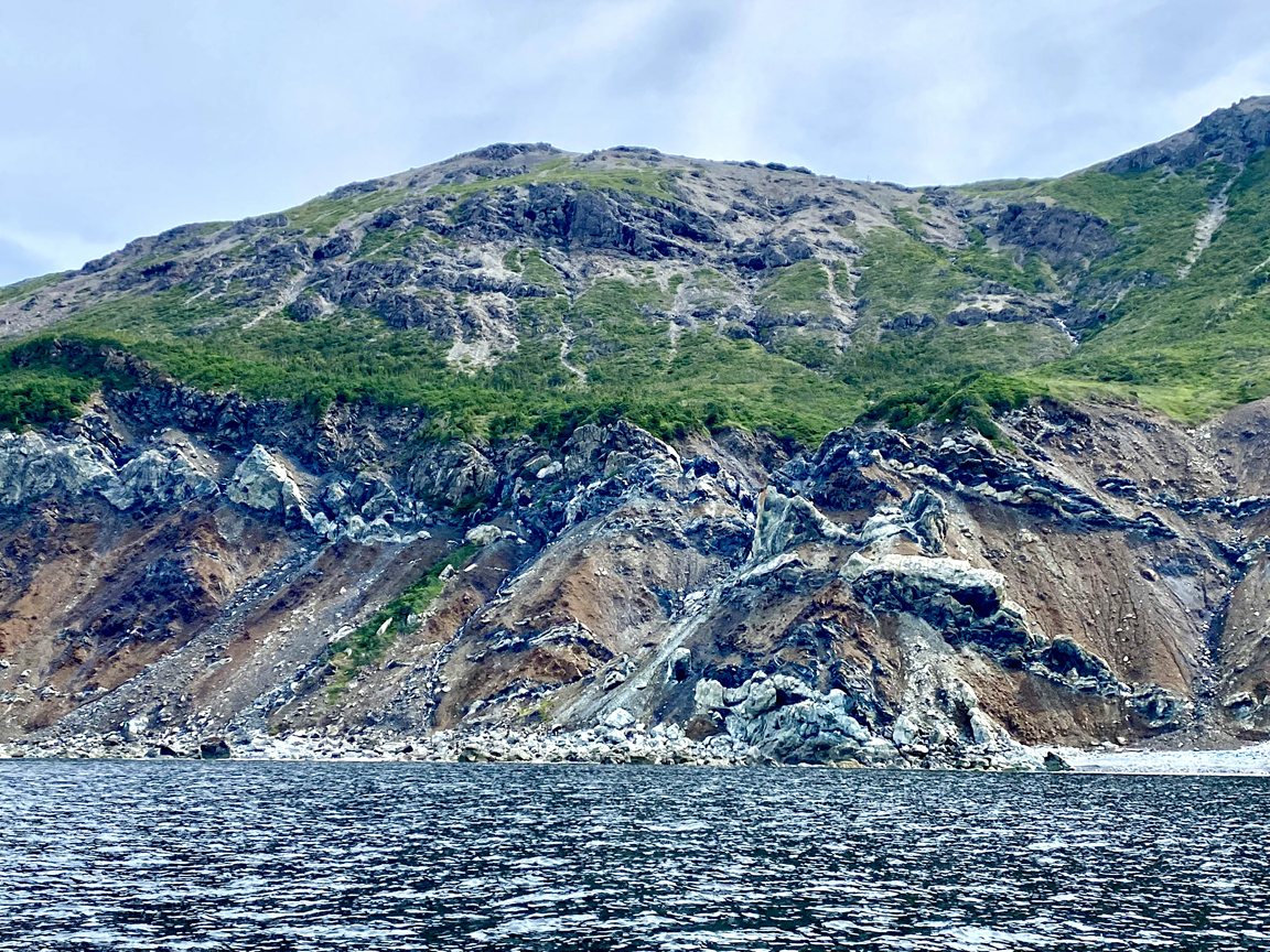
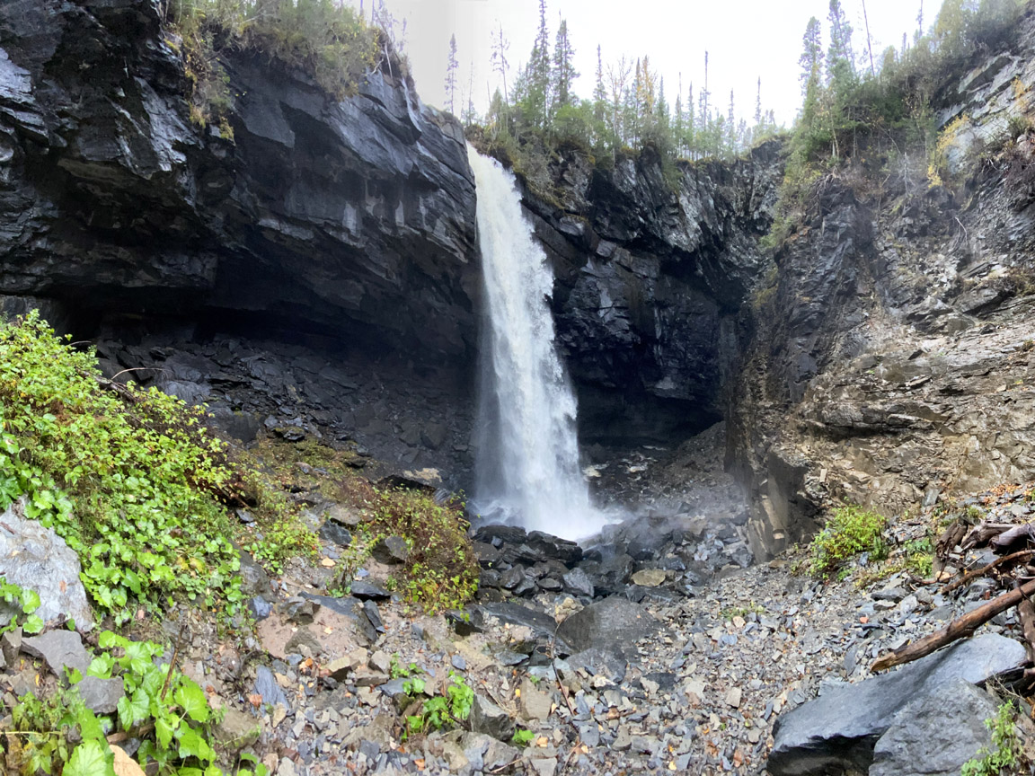
As of 2025, Cabox has identified 32 geological sites of interest, or geosites, which sample one or more of the four main geological units within the Geopark (i.e., shelf succession, slope succession, oceanic successions and quaternary features). The majority of these sites are located near major roadways, and some include ancillary geological, ecological or cultural sites.
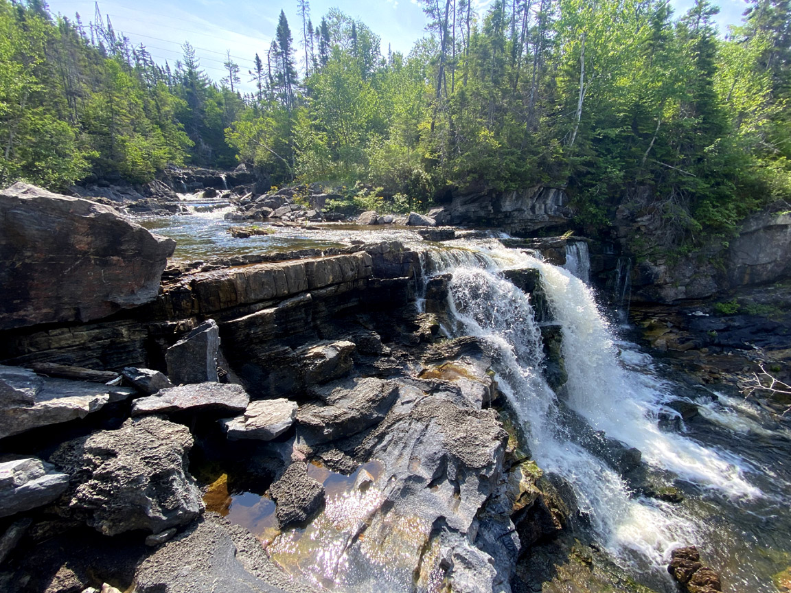
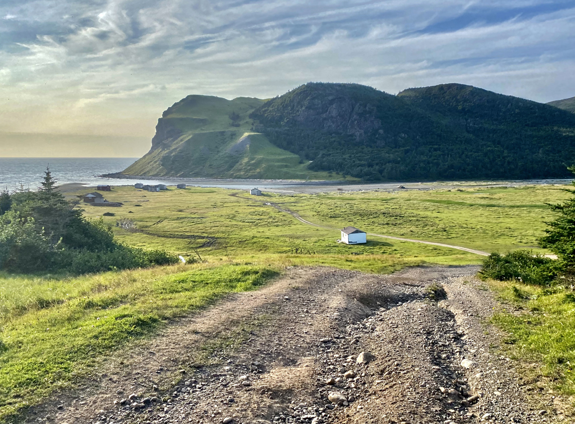
Though effort has been made to identify geosites in remote areas of the Geopark, more emphasis will be given to backcountry geosites in future surveys. These sites are accessible by forest access roads and backcountry trail routes (e.g., IATNL and OBIEC), as well as by boat or helicopter.
In 2026, a hardcopy of the Cabox Geopark Guide to Geosites containing these 32 geosites will be available for purchase.