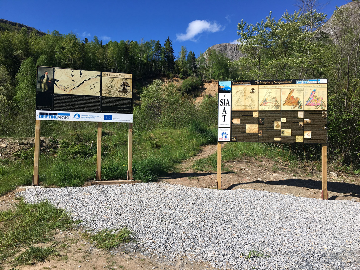
Trailhead sign and Mapping of Newfoundland interpretive panel at Humber Valley Trail’s Ballam Bridge Trailhead
With the recent installation of Hank Williams’ Tectonic Lithofacies Map of the Appalachian Orogen at the Saltbox Restaurant and Geopark Information Center in Benoit’s Cove, Cabox Geopark has completed Year Two of its 5-year signage strategy. A wide variety of indoor and outdoor signs and interpretive panels have been installed at key locations around the Aspiring Geopark that were created at the IATNL print shop in the Goodhouse Building in Corner Brook, and cost shared by the IATNL and EU Interreg funded Drifting Apart project.
![]()
The project began in 2017 with the installation of James Cook themed signs and interpretive panels that coincided with the 250th Anniversary of Cook surveying the west coast of Newfoundland, his 5th and final year surveying the coasts of Newfoundland which led to his selection by the British Navy and Royal Society to command a voyage to the Pacific Ocean. Examples include trailhead signs for the Cape Blow Me Down Trail in York Harbour (formerly Copper Mine To Cape Trail) and James Cook Heritage Trail in Blow Me Down Provincial Park, which was erected during a visit by long-time Appalachian Trail Conservancy (ATC) Executive Director Dave Startzell and his wife Judy.
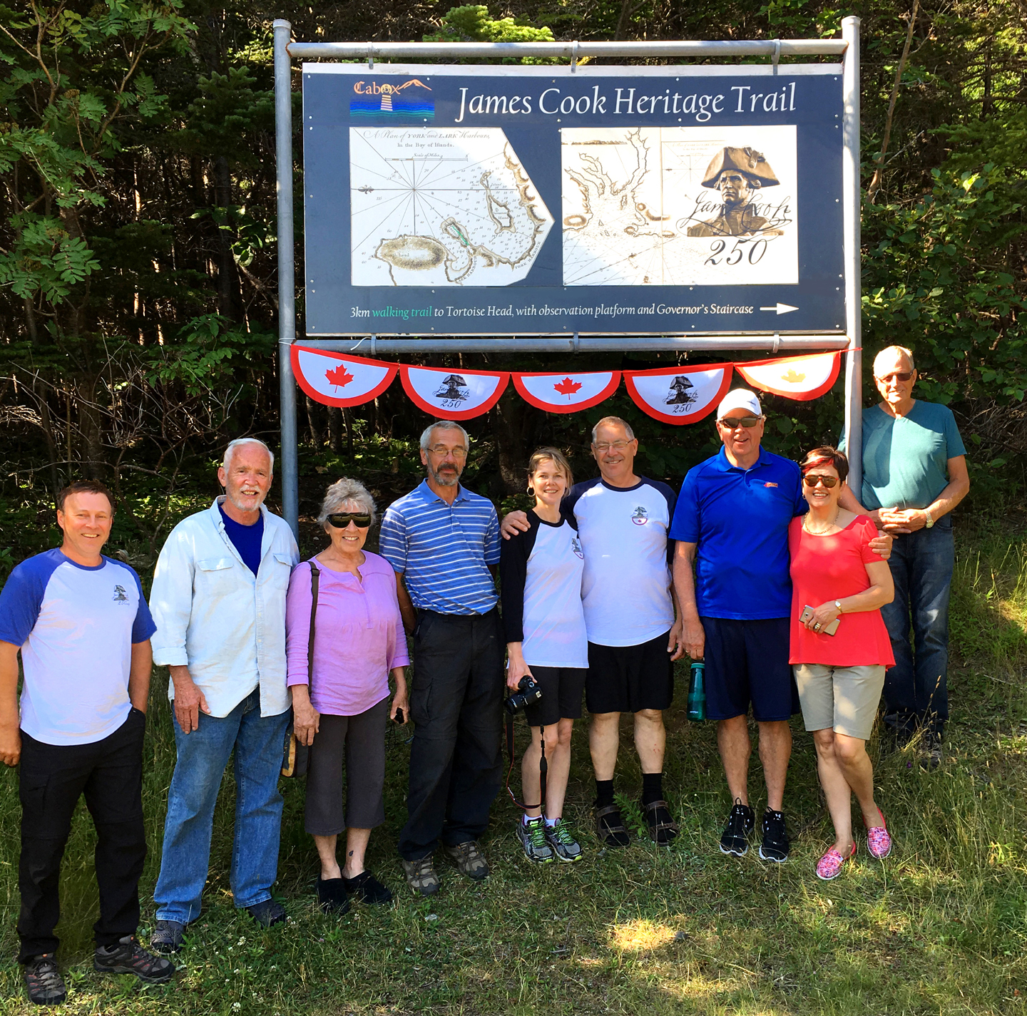
L-R Paul Wylezol (IAT), David and Judy Startzell (ATC), Kevin Noseworthy (IATNL), Mary-Lou and Allan Shepherd (OBIEC), John and Sharon Parsons (OBIEC), and Arne Helgeland (IATNL) at the new trailhead sign for the James Cook Heritage Trail on July 26, 2017
James Cook 250 themed signs and interpretive panels were also created for museums in Benoit’s Cove, Gillams, Corner Brook and Woody Point.
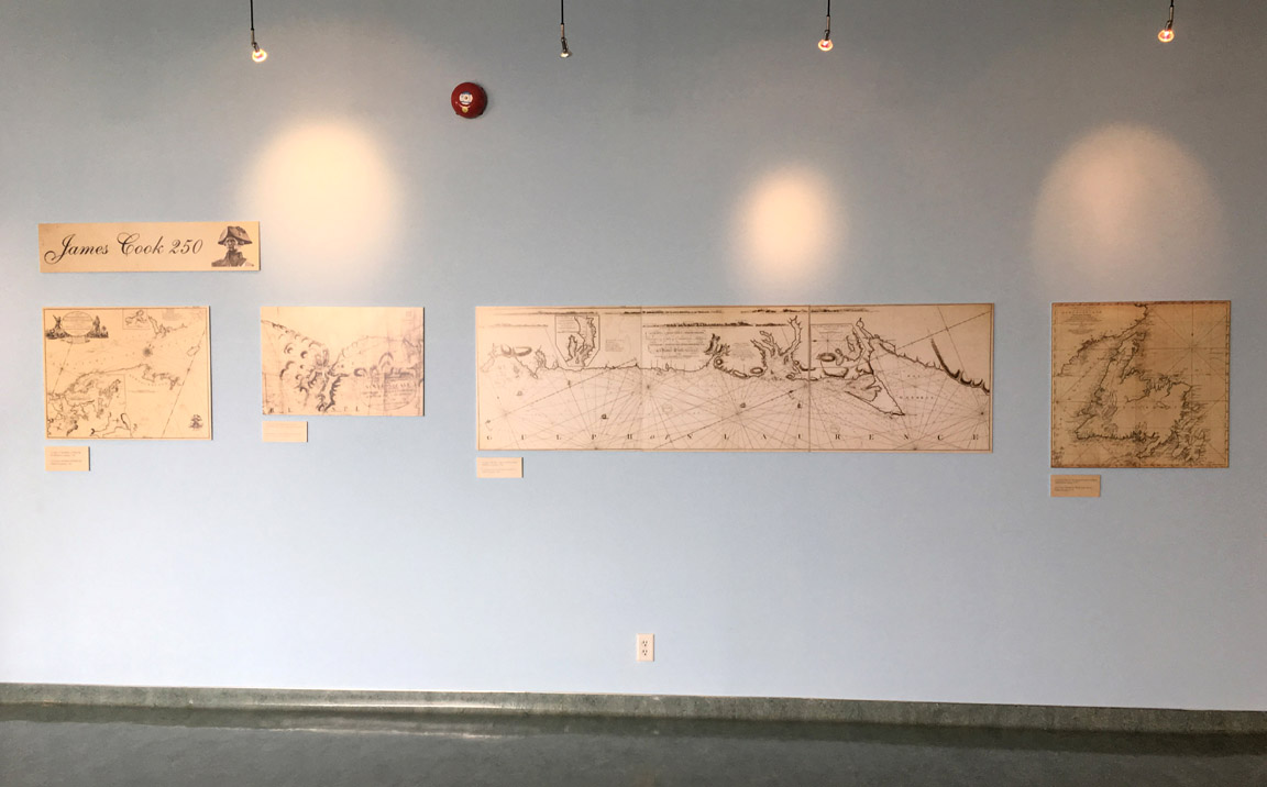
James Cook 250 Exhibit at Gros Morne National Park’s Discovery Center
In the autumn of 2017, work also began on the installation of 10 concrete footings for new outdoor geology signs for the Drifting Apart project. Several signs were installed last winter in preparation for the end of the $1.6 million 3-year project.
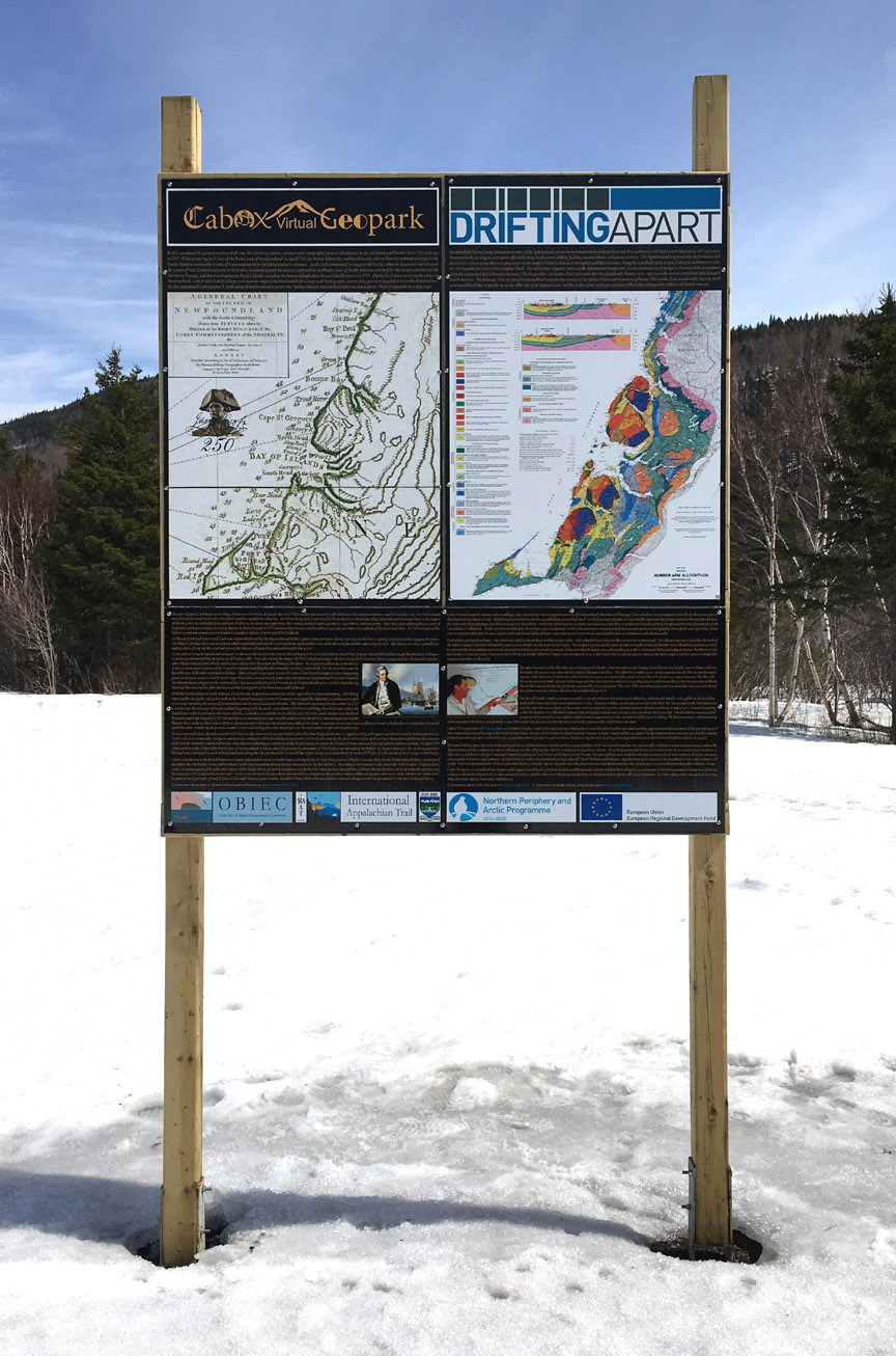
Cook 250 and Drifting Apart geology sign installed at Steady Brook park
During Spring and Summer 2018, more signs were installed from one end of the Geopark to the other, including a new trailhead sign for the southern trailhead of the IATNL Lewis Hills Trail

New trailhead sign at the southern end of the IATNL Lewis Hills Trail
and a new trailhead sign for the Old Man Sea Stack and Lighthouse Trail in Trout River.
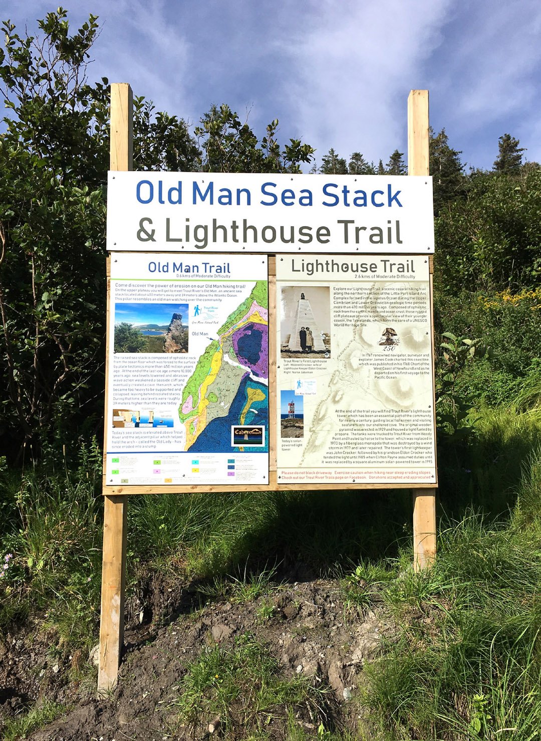
Trailhead sign for Old Man Sea Stack & Lighthouse Trail developed by the Trout River Trails committee
New signs were also planned for the Heritage Trail in Gillams and Collette Urban Trail in McIvers, as well as at several other important Geopark locations, but due to poor weather in October and November, those signs will be installed next year during Year Three of the 5-Year Signage Strategy. Stay tuned………..