On May 21, IATNL Directors Paul Wylezol and Delano Pittman took advantage of a beautiful day during an ideal time of year to make an exploratory bushwhacking trek up a prominent ridge in the lower Humber Valley to find a new scenic route to Arne’s Lookout, 1.6 kms (1 mile) west of Man In The Mountain above Humber River.
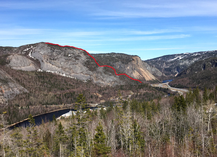
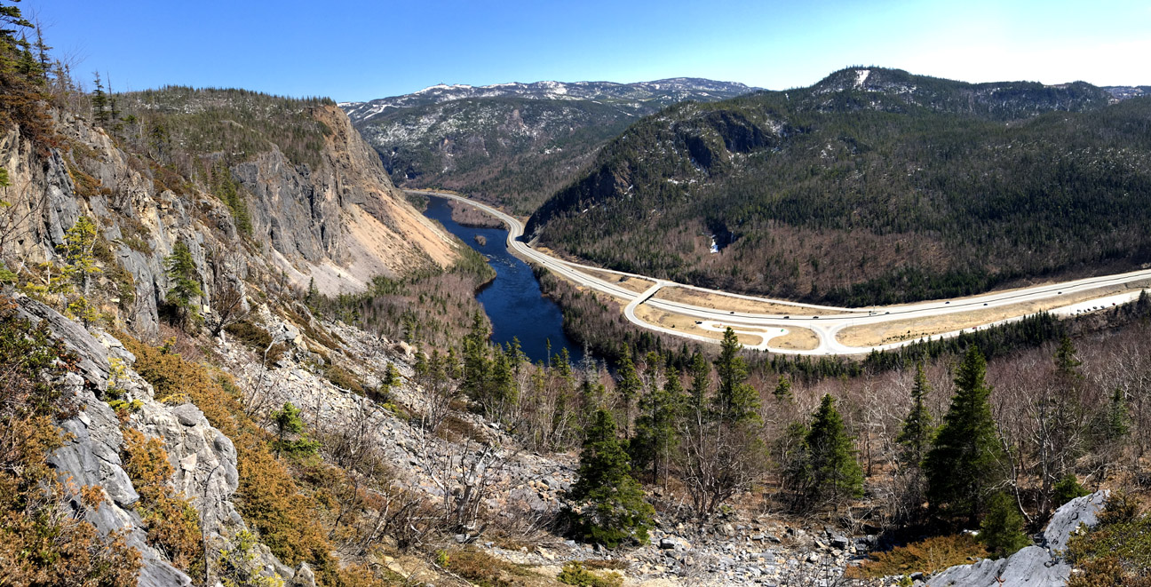
The new 1.5 km route would begin 130ft above sea level near the current western trailhead
and rise to 1110 ft, and provide spectacular new views of the Humber Valley, Humber Arm and Blow Me Down Mountains.
Late Spring after most of the snow has melted but before leaves sprout on the trees and small shrubs cover the ground is the best time of year to search for new trail routes, as it is easier to see the lay of the land and the open spaces and cliff faces ideal for viewpoints.
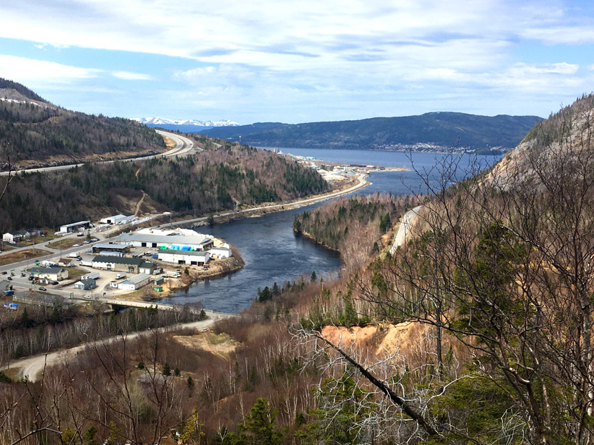
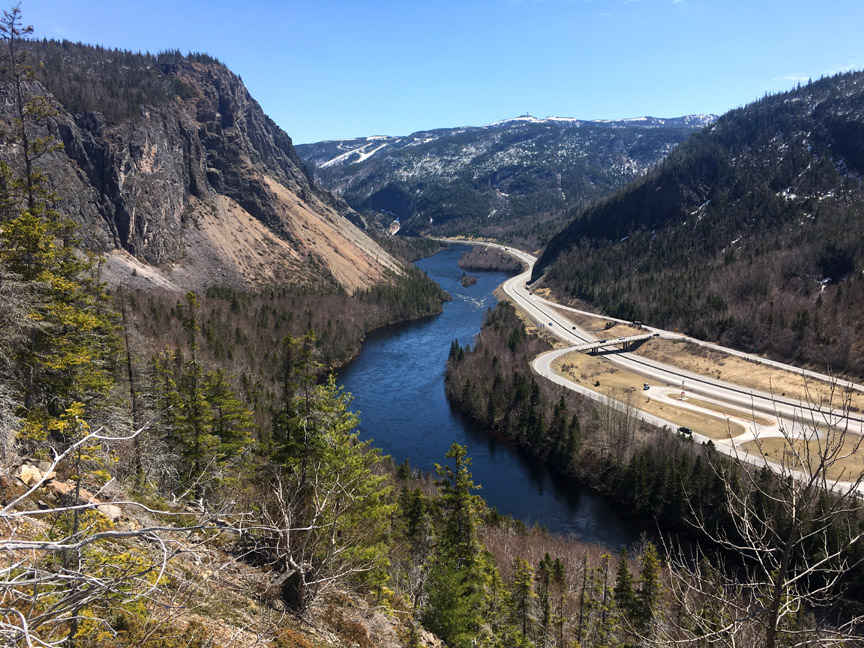
The narrow ridge protrudes from the Appalachian Mountains on the north side of the river in such a way as to provide wide angle views both east up the river and west out the Humber Arm.
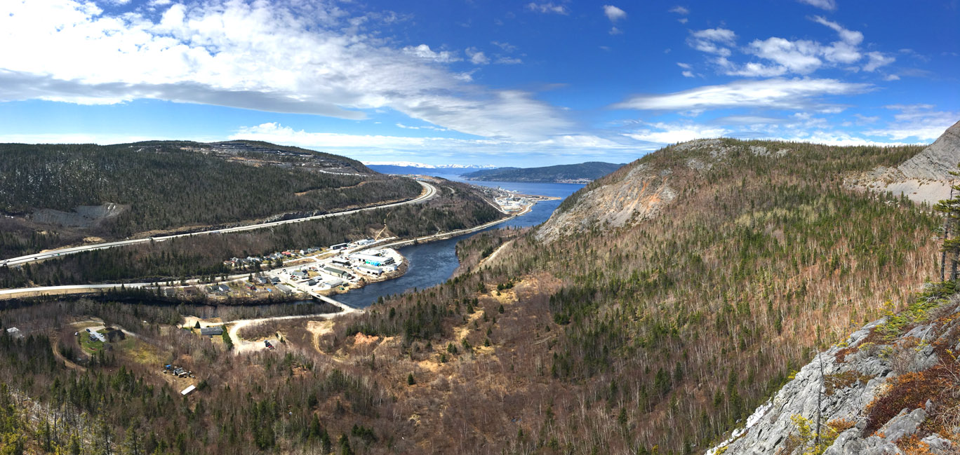
From higher up the ridge, one can see the trailhead parking lot and beginning of the trail, as well as the Blow Me Down Mountains looming above the outer Bay of Islands.
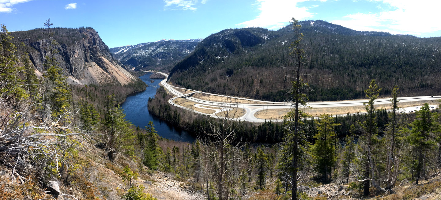
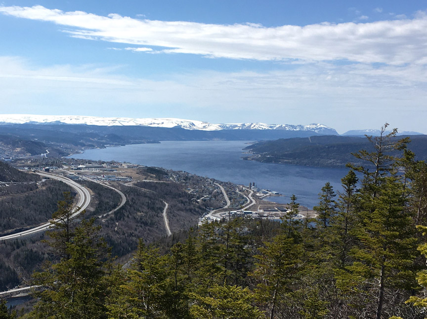
Arne’s Lookout at the top of the ridge provides a more complete view of the Humber Arm and Blow Me Down Mountains. From there hikers can either turn east towards Man In The Mountain and continue on the Humber Valley Trail to Wild Cove Valley and Humber Village, or turn west and head back down the mountain on the original trail leading to and from the western trailhead.
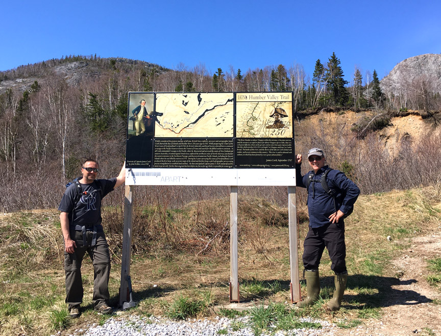
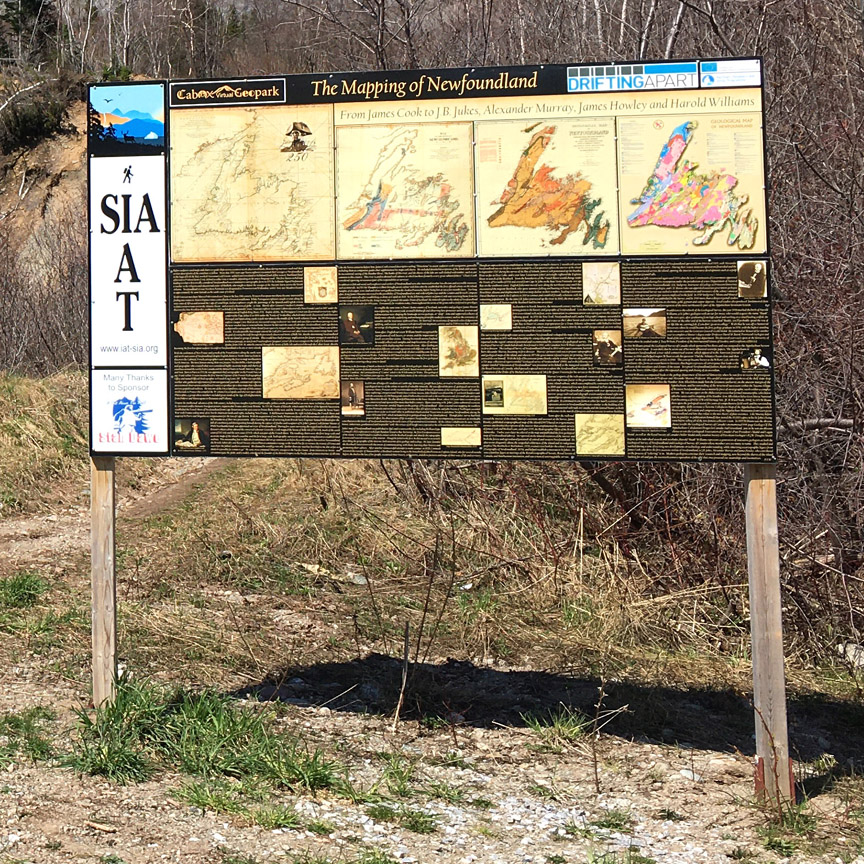
At the trailhead, whether at the beginning or end of your trek, be sure to check out our sign on The Mapping of Newfoundland, including the work of James Cook who explored and surveyed the Humber Valley in the summer of 1767.
View the story on the IATNL website.