On the morning of July 23, IATNL directors Paul Wylezol and Delano Pittman set off in pickup truck down a gravel road just south of Trout River, heading to the remote resettled community of Chimney Cove on the gulf coast about midway between Trout River and the Bay of Islands.
They were on a mission to find a hikeable route to the top of Mount St Gregory from Chimney Cove that would serve as the northern access for a planned ST GREGORY’S CROSS one-day trek from Lower Crabb Brook on the north shore of the Bay of Islands then across the Gregory Mountains to Chimney Cove, before returning to the Bay of Islands by boat or continuing on to Trout River at the southwestern edge of Gros Morne National Park.

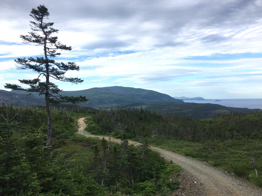
Though the first 8-9 kms of the 13 km gravel road were in good condition, the last 4-5 kms were fairly rough and not ideal for driving anything other than an ATV off-road vehicle or mountain bike.
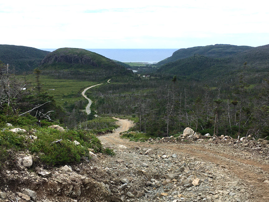
The road is maintained by the approximately 25 cottage owners in Chimney Cove and ends at the wide but shallow Gregory River which flows north then west off the Gregory Mountains.
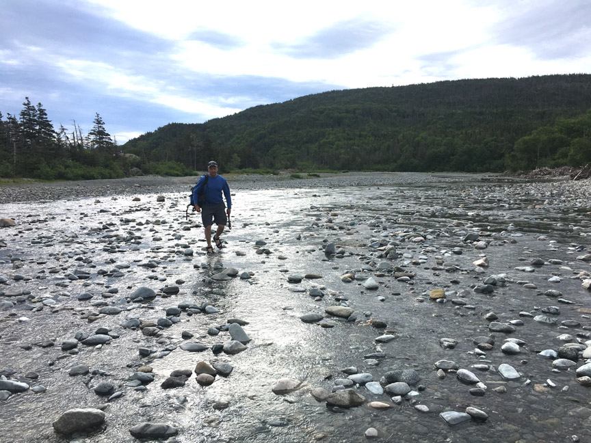
After crossing the river and walking 1 km walk, Paul and Delano reached a sizeable pastureland strewn with cabins, cows and driftwood, and a 500-ft high grass-covered headland that loomed above it all.
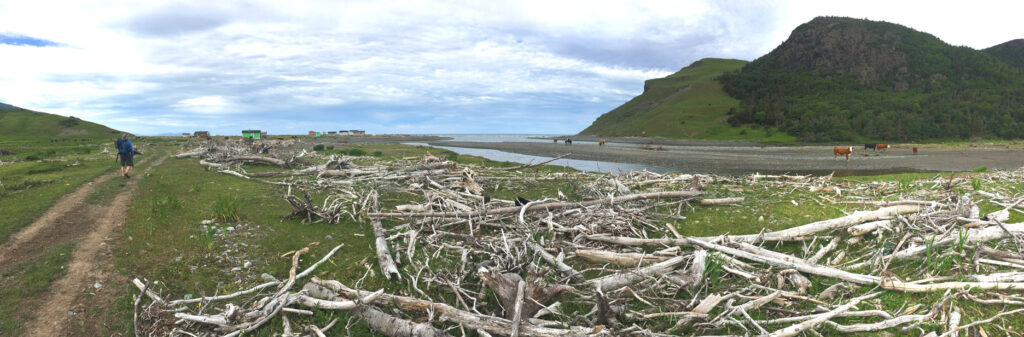
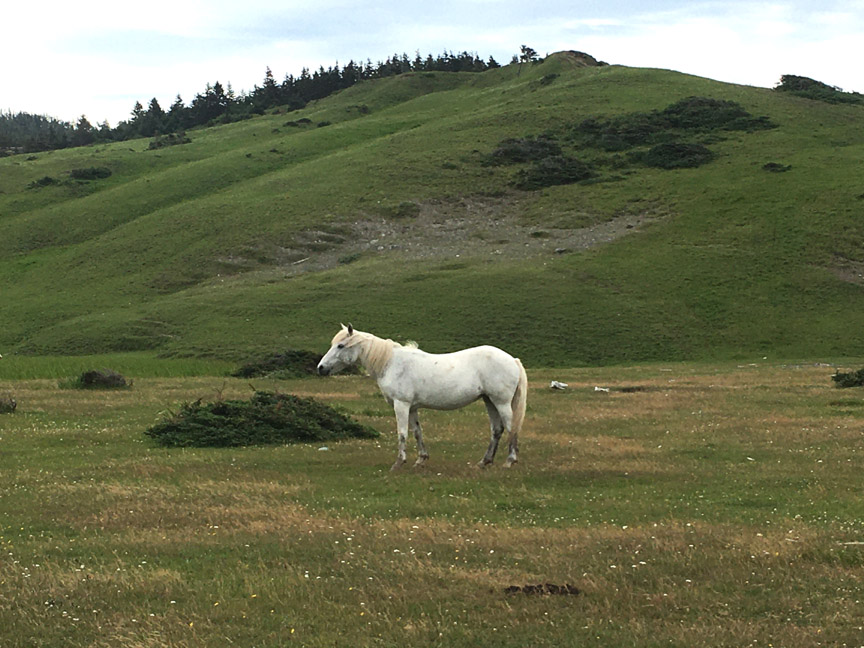
Horses were also grazing the fenceless grasslands, sufficiently content not to wander off.
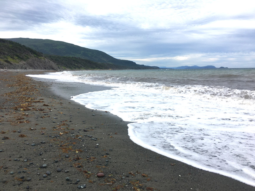
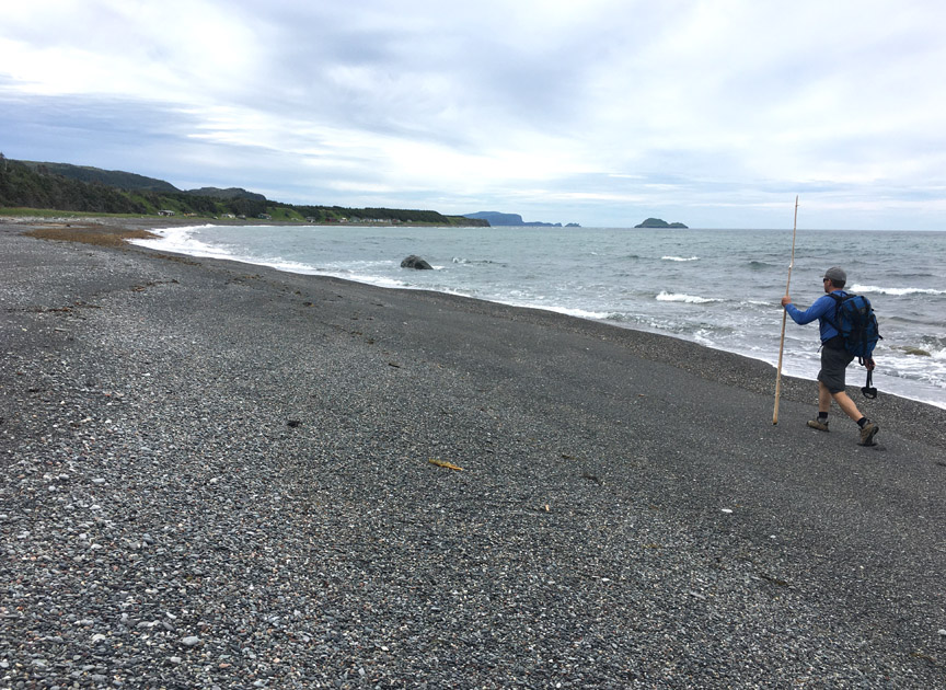
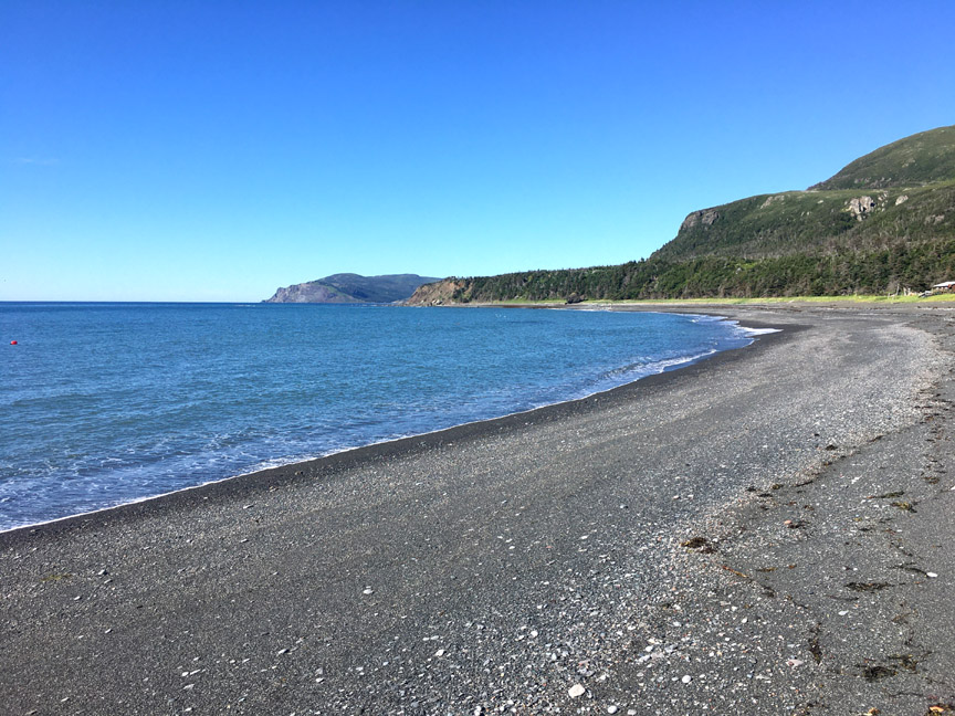
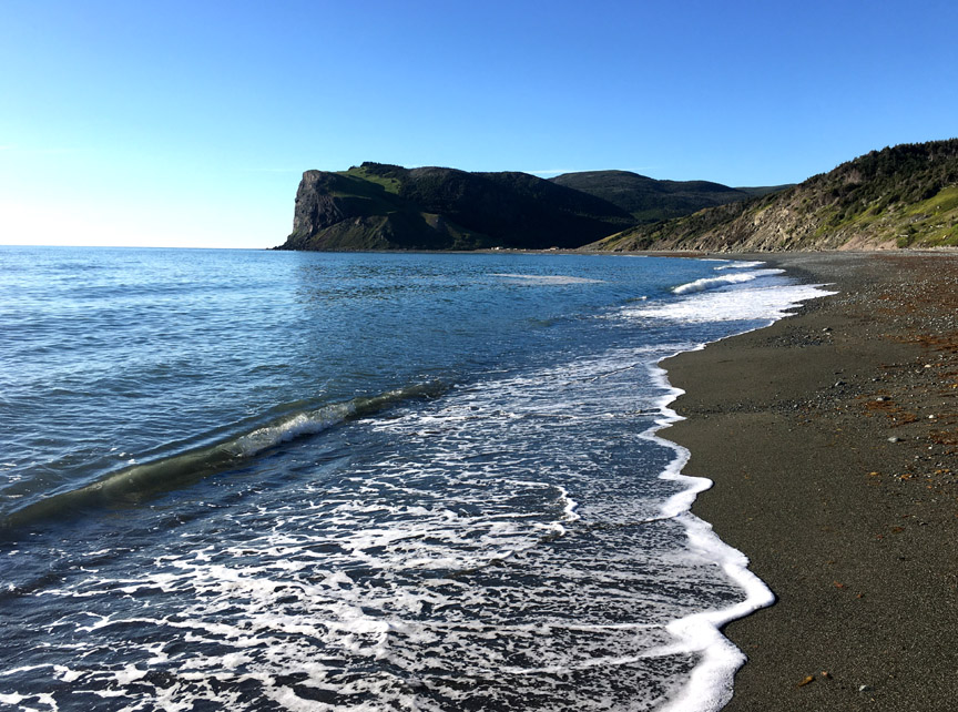
Fronting it all was a half-kilometer wide gray sandy beach that was easy to cross but not so easy to leave behind
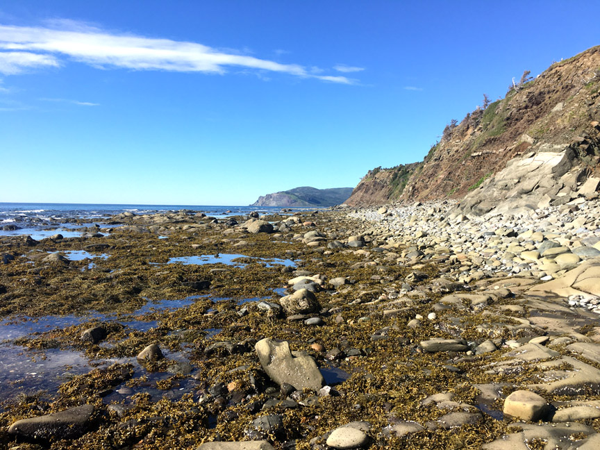
as the next 3.5 kms was composed of a variety of rock types and sizes that weren’t especially difficult to walk across, but did require constant attention. One or two spots may also be narrow during high tide, but they are likely passable.
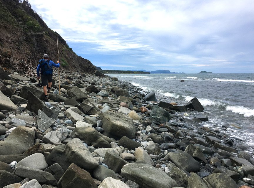
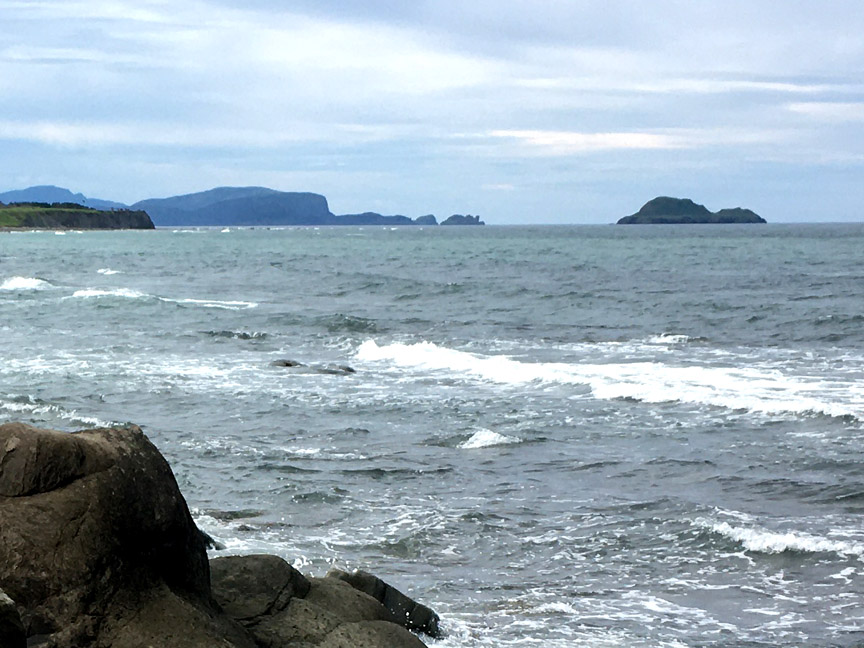
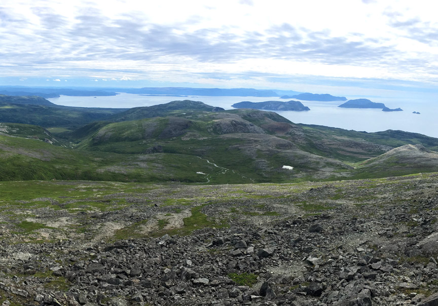
In the distance could be seen Gregory Island (the “Elan”) and other islands and headlands of the Bay of Islands, approximately 10kms as the seagull flies.
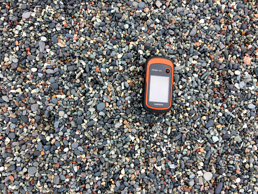
After a 2-hour walk from Chimney Cove, Paul and Delano arrived at Shoal Point cove where they found a granular beach composed of colorful rounded stones between 2 and 6mm in diameter
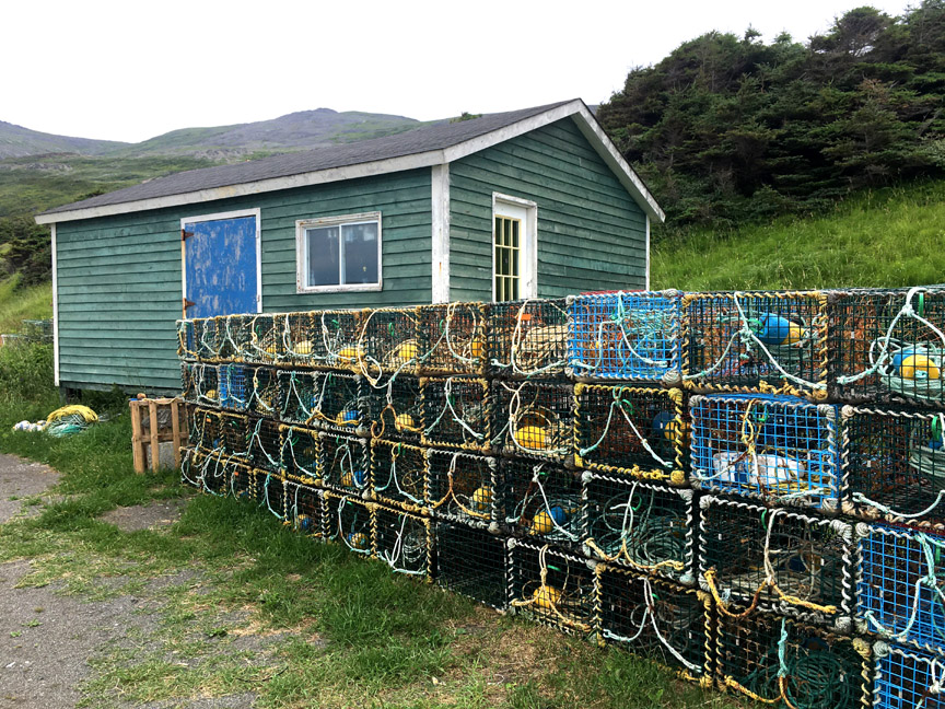
and another 10-12 cabins, some belonging to lobster fishermen who were finished hauling their pots for the season.
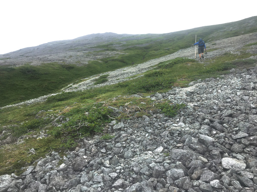
From there they turned inland and followed a trail that petered out at the base of the mountains, then scrambled up through some low scrub until they were finally on them, albeit a long way from the top.
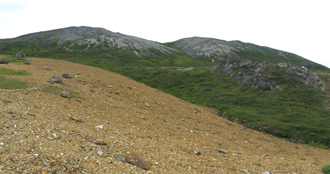
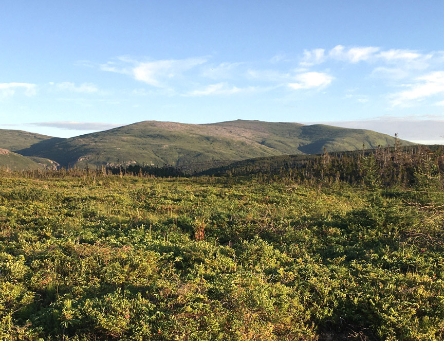
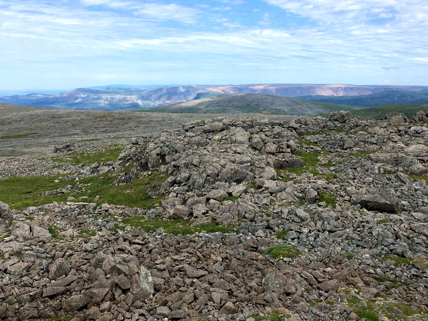
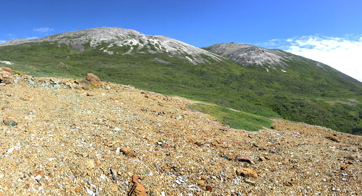
At first the terrain was composed primarily of rust-colored peridotite gravel bordered by green gullies of low scrub, before transitioning to gray gabbro scree fields with larger rocks interspersed with grass and low shrubs.
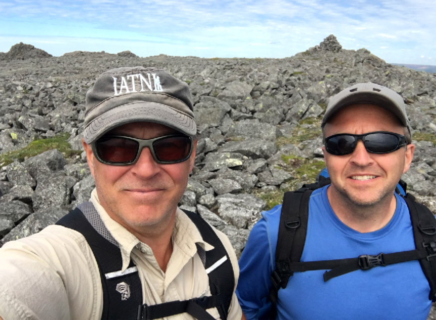
This continued all the way to the top of Mount St Gregory at 2,200 ft (670 meters), which was marked by three rock cairns, one or more possibly created by the crew of James Cook’s survey ship Grenville in 1767.
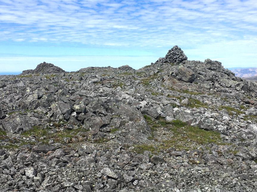
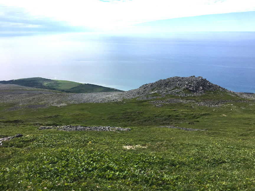
The summit affords terrific views in every direction, from the Tablelands in the north
to North Arm Hills in the east
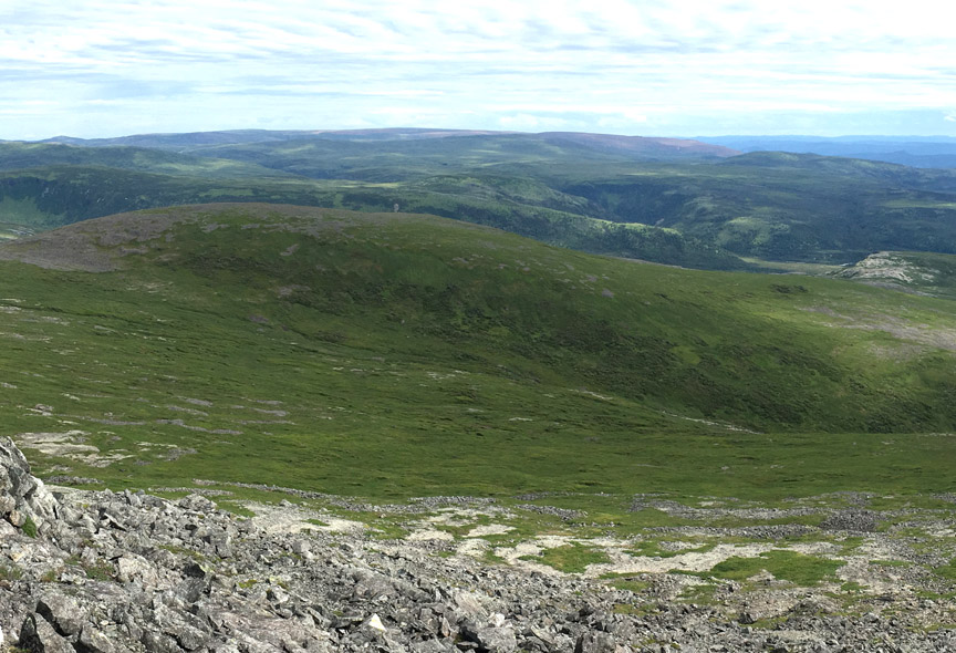
and Bay of Islands to the south.
After the obligatory summit selfie
Paul and Delano wasted little time before starting the 10 km journey back down the mountain and across the beach to Chimney Cove.
While returning down the mountain, the skies cleared and sun shone, bathing the mountains in a more pleasant palette of rust, green, gray and blue.
Before long they were back on the beach at Shoal Point Cove
and hopping rocks along the low-tide coast
until they reached the surf drenched sandy beach at Chimney Cove.
After a second walk through the resettled community, Paul and Delano got a final glimpse of the Gregory Mountains, before climbing the hill up out of the cove and driving back across the gravel road to Trout River. Mission accomplished!