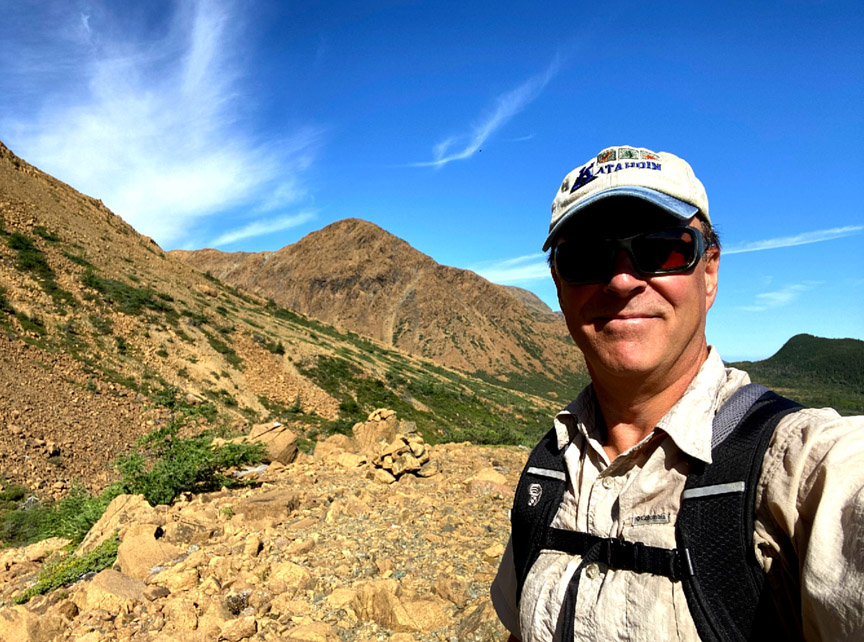
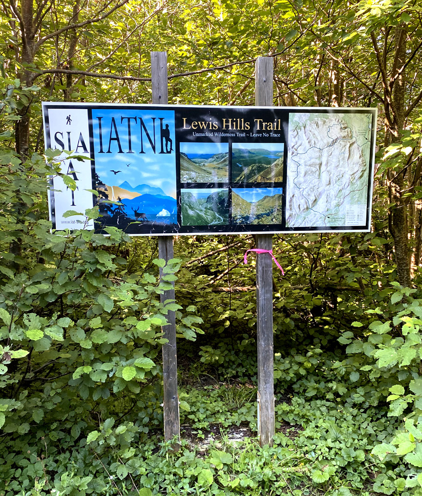
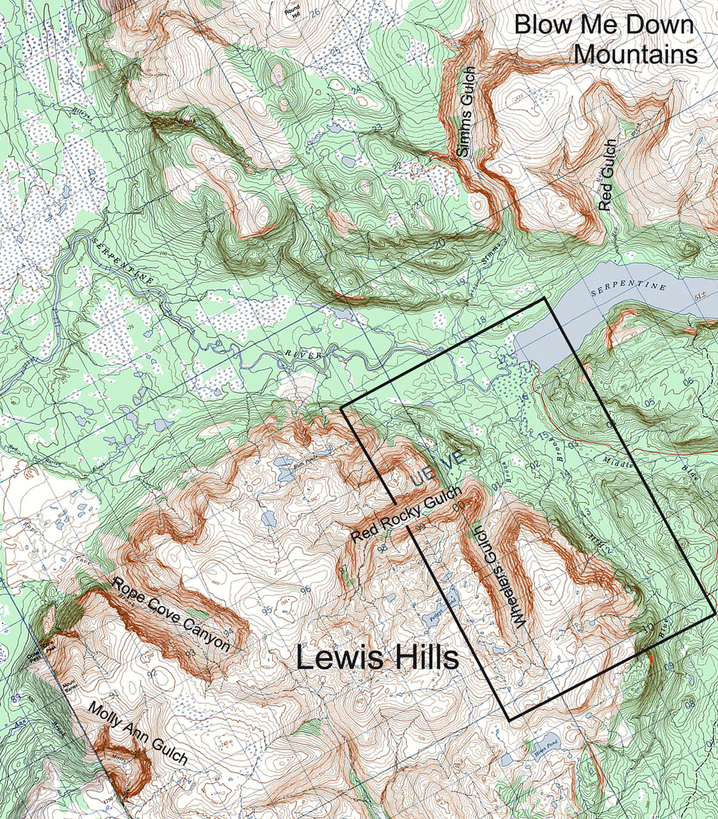
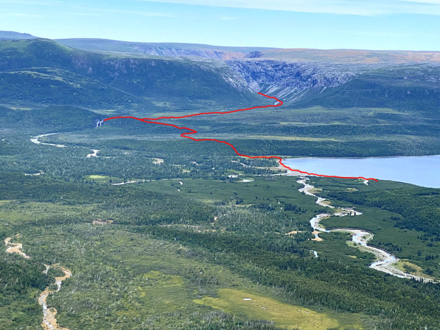
On August 17 after an unusually long dry spell in Western Newfoundland, IATNL/CABOX Director Paul Wylezol set off from the Lewis Hills Trail’s northern trailhead in search of a hiking route to the east rim of Wheelers Gulch on the northeast corner of the Lewis Hills
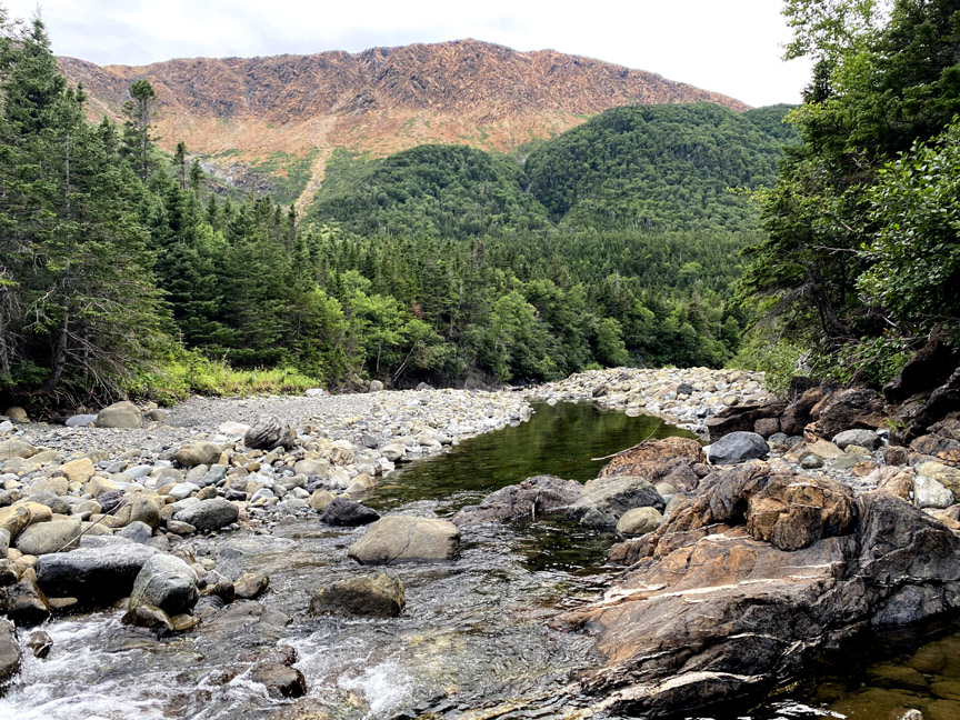
then returned via the relatively dry Blue Hill Brook that flows north along the base of the mountains into the western end of Serpentine Lake near its outflow into Serpentine River.

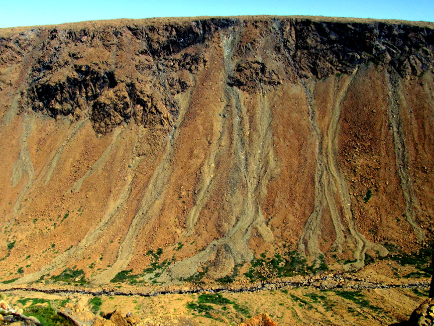
Like the others canyons on the northeast side of the Lewis Hills, Wheelers Gulch is composed of oxidized (and rust-colored) peridotite from the earth’s mantle which was thrust on top of Grenville basement rocks and various layers of continental slope by the process of plate tectonics during the closing of the Iapetus Ocean approximately 450 million years ago.
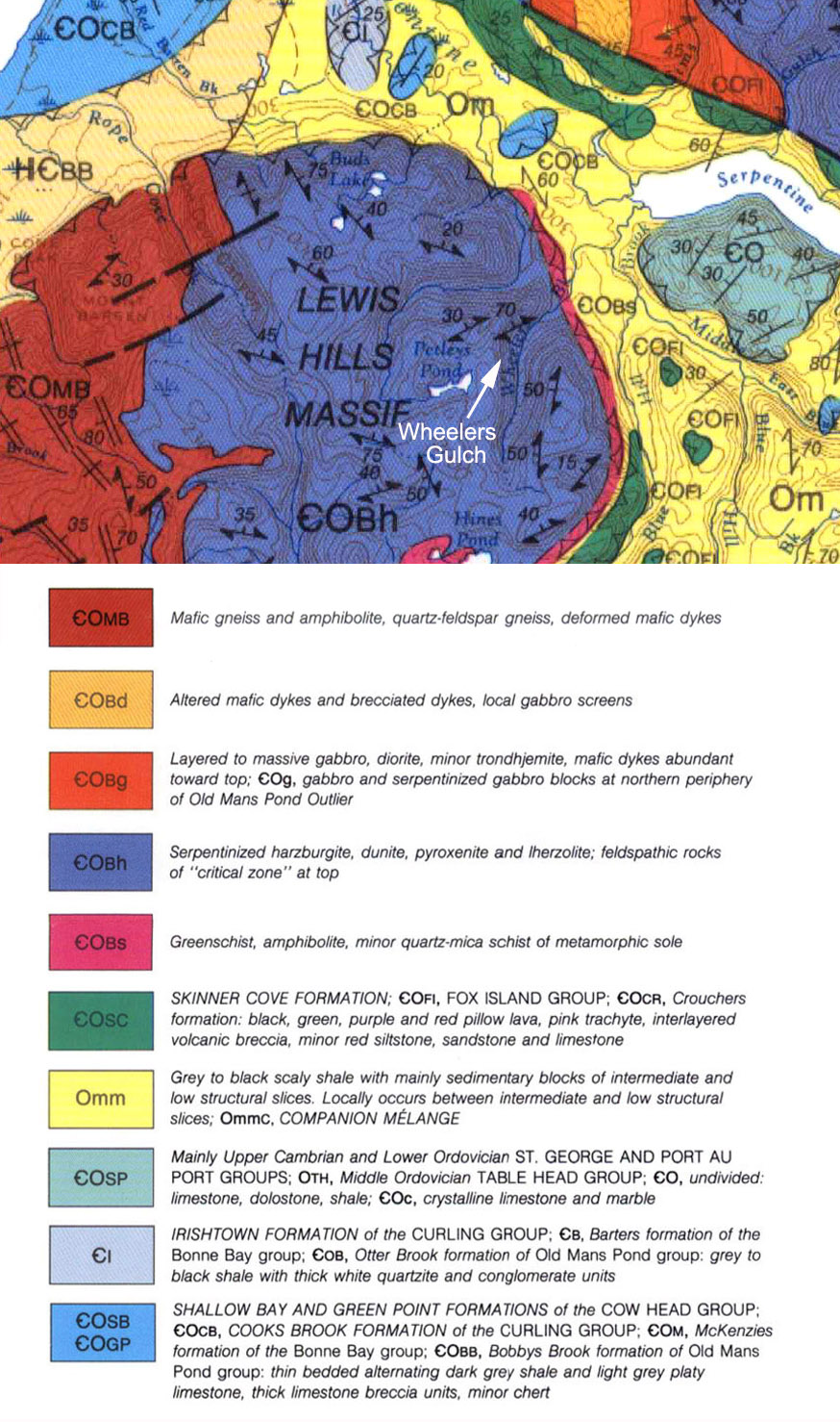
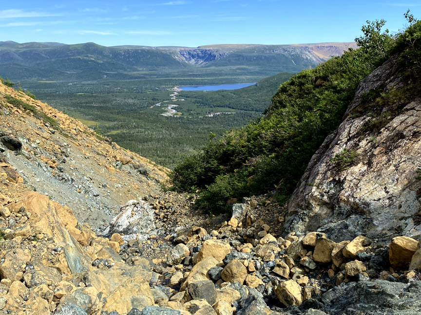
After walking the trail up through the forest and above the tree line at the base of the “hills”, Paul turned left (south) and scrambled up over rock and low scrub as he followed the course of a small stream that marks the boundary between the metamorphic sole (or aureole) and the mantle that thrust over it.
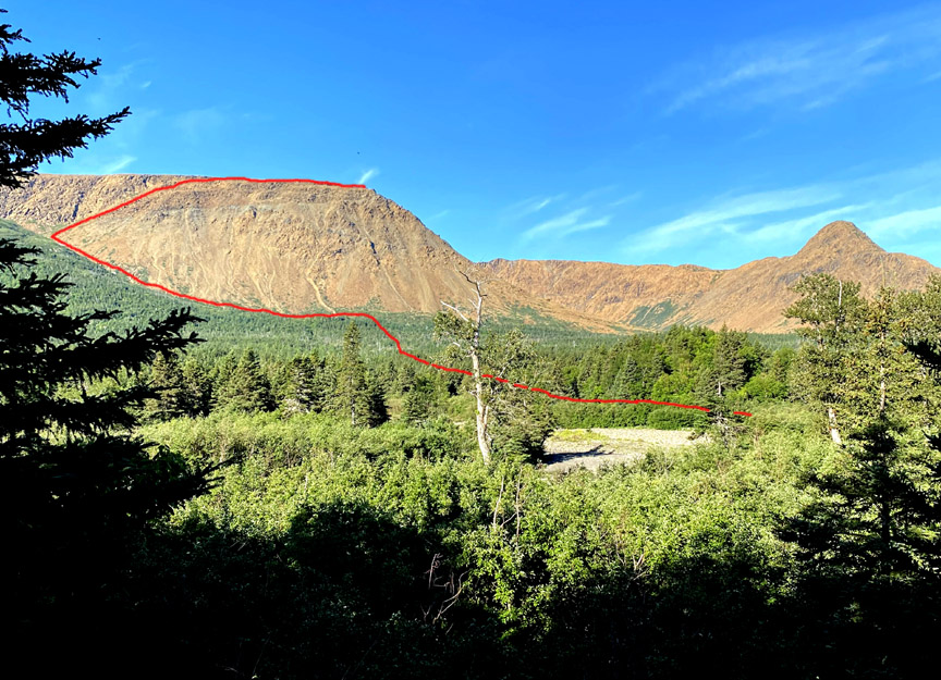
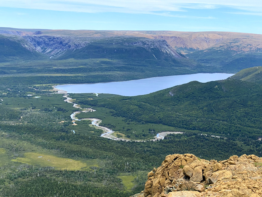
The climb up the diagonal slope provided nice views of Serpentine Lake and the Blow Me Down Mountains beyond
while the view above revealed a not-too-difficult slope leading to a gentle incline.
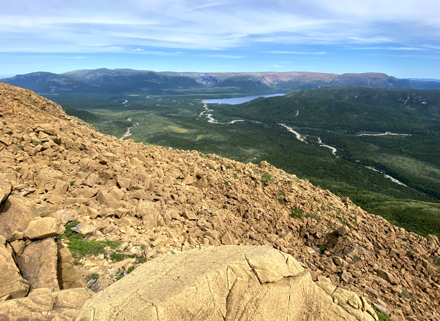
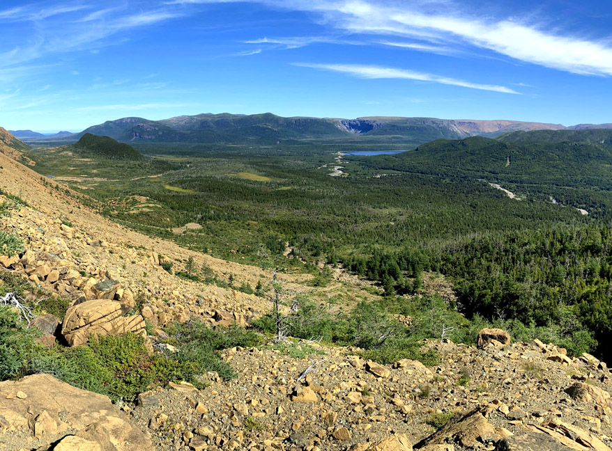
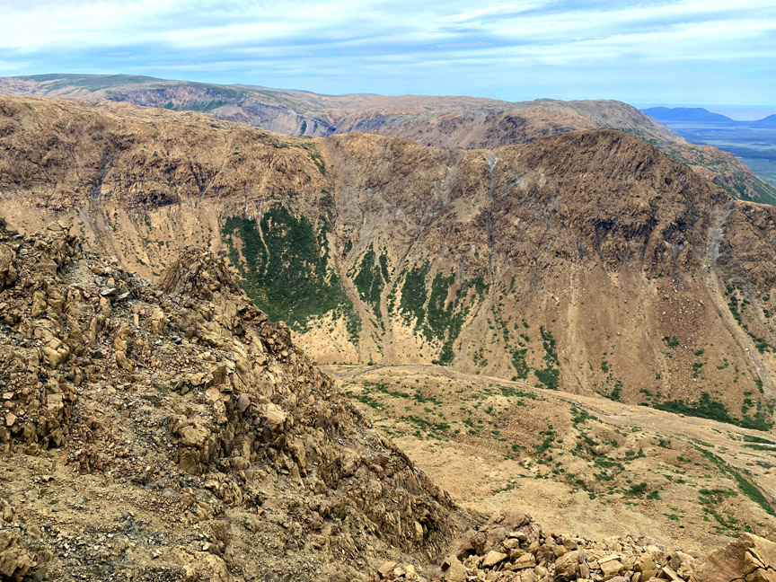
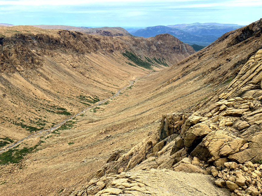
After a half-kilometer walk weaving and bobbing around rocks and boulders of various sizes, Paul reached the northernmost point of the east rim, which provided a spectacular view of the entrance to Wheelers Gulch, Serpentine Lake and the Blow Me Down Mountains.
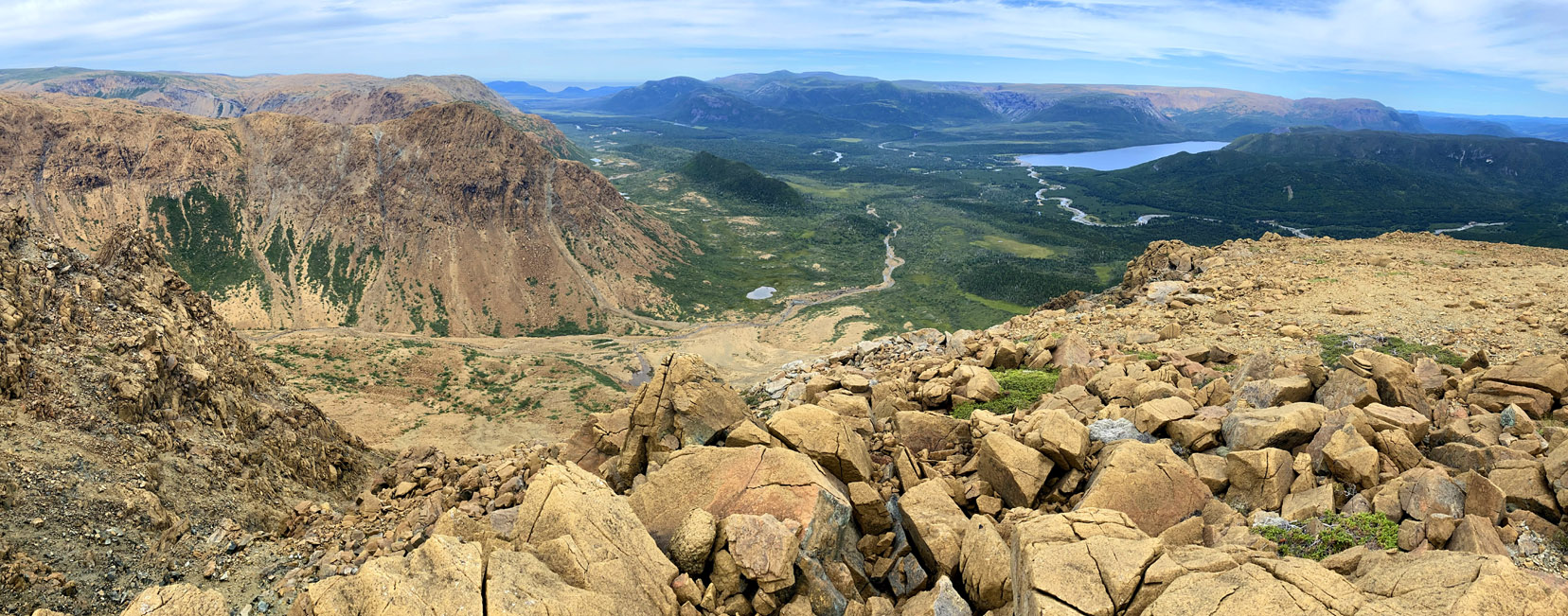
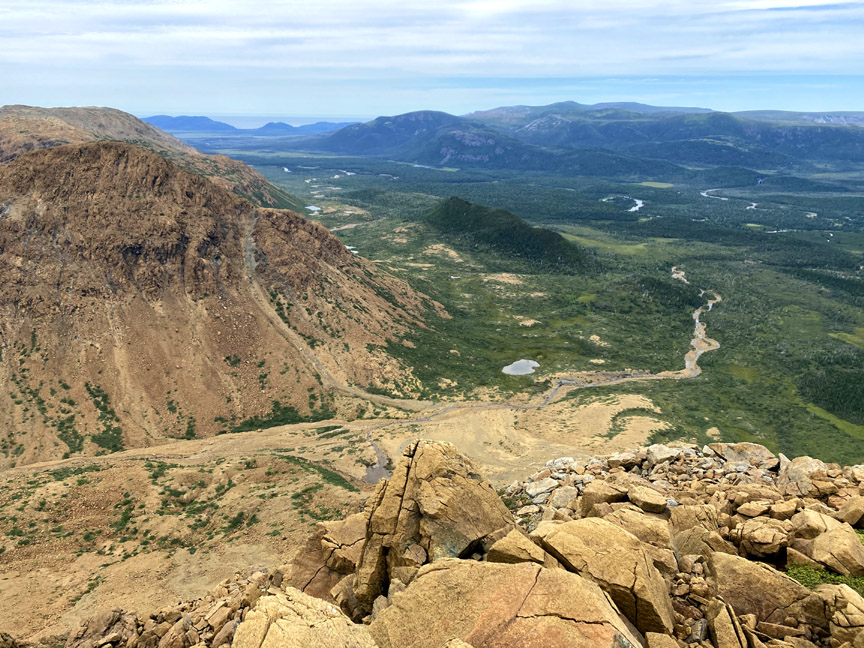
It also provides a good vantage point to view the southern end of the Blow Me Down Mountain Trail as it crosses Serpentine Lake and River and winds its way through lowland forest and past Simms Waterfalls before entering Simms Gulch.
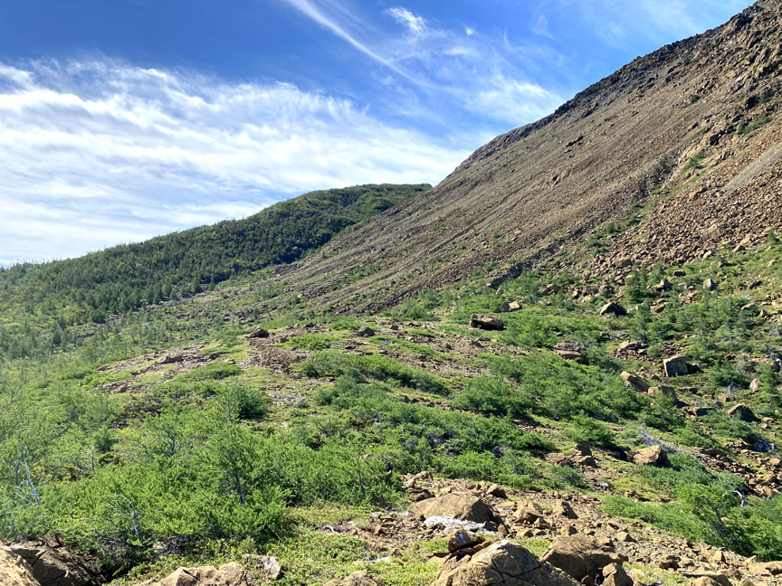
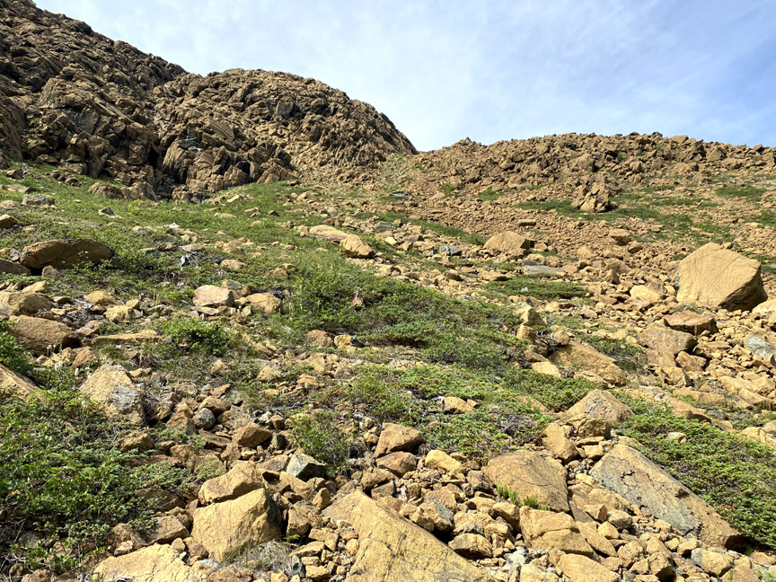
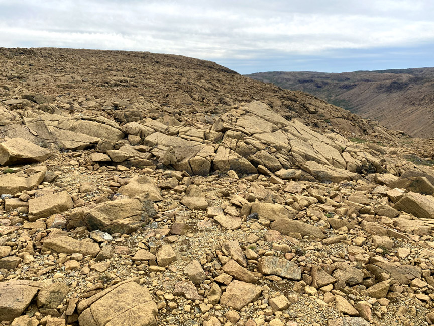
Turning south, it soon becomes apparent that the relatively flat east rim plateau is much different than that of the west rim, as the entire area appears to be covered in peridotite boulders of every size.
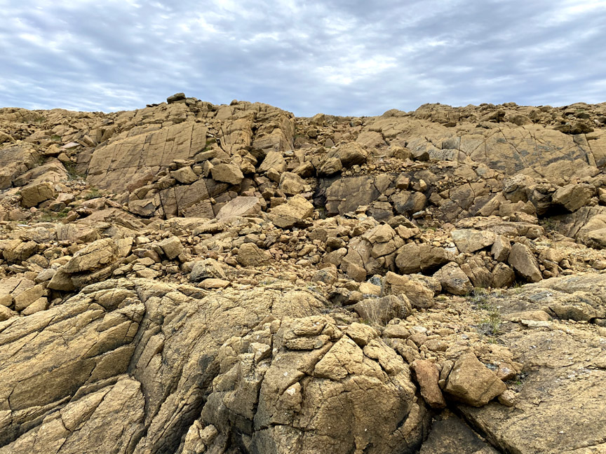
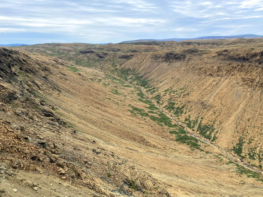
Nevertheless, though walking is a little slower and more deliberate, there are no insurmountable obstacles to walking the full length of the rim.
Along the way there are good vantage points to look across
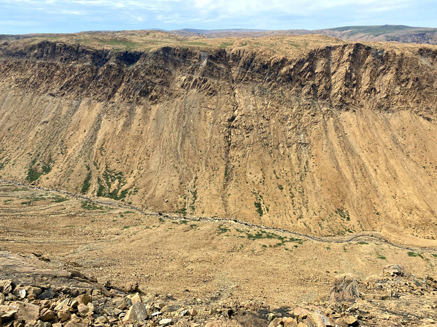
or out through the gulch.

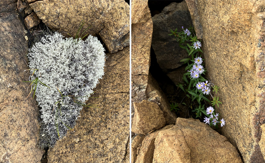
And in spite of the rocky Marscape, there are occasional glimpses of life that found a foothold in the low-nitrogen high-magnesium soil.
Both Wheelers and Red Rocky Gulch to the west are approximately four kilometers in length and one kilometer wide.
Unlike Simms Gulch and Blow Me Down Brook Gulch in the Blow Me Down Mountains, the back end of Wheelers and Red Rocky Gulches are not forked and are more gently sloping, making entry into and out of them more accessible.
It is also possible to walk down, across and up the back of the gulch and hike the western rim back to the aiguille peak between the entrances to Wheelers and Red Rocky Gulches.
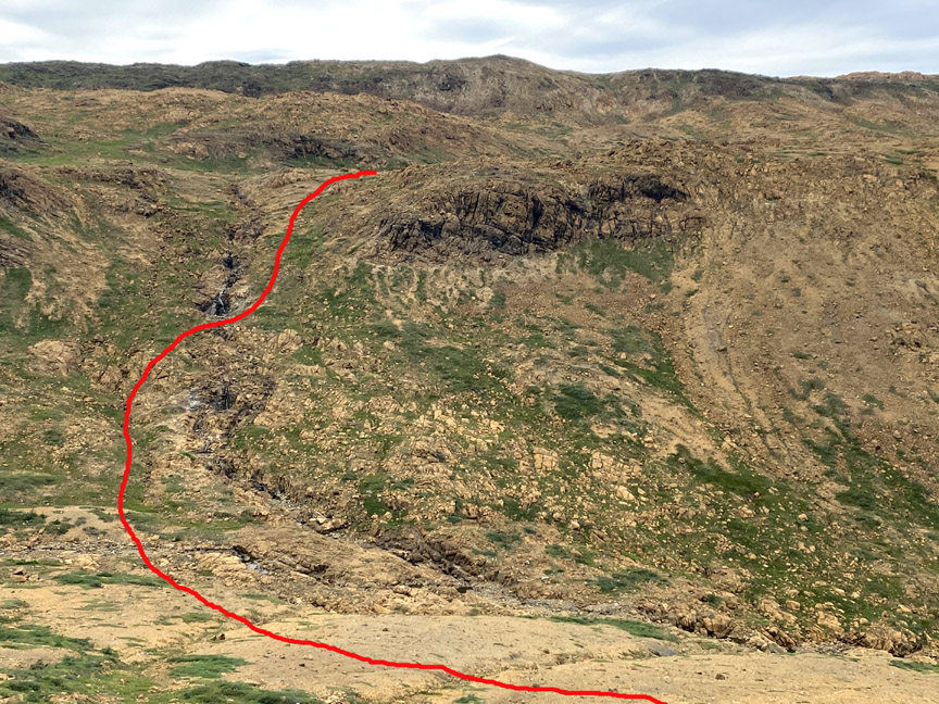
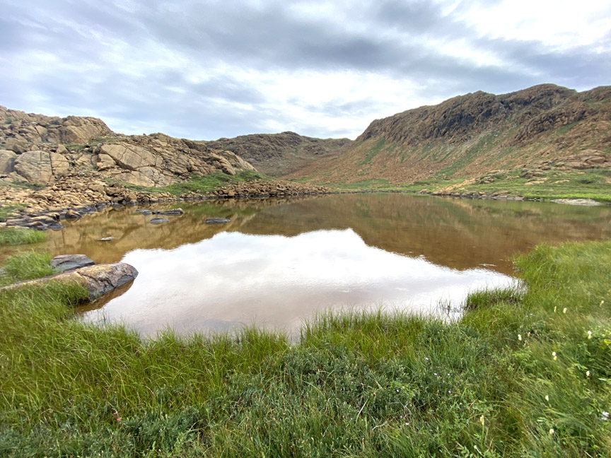
However on this trek, Paul turned east and hiked over a low rise where a grassy meadow and small pond formed the headwaters of the first major tributary flowing into Blue Hill Brook.
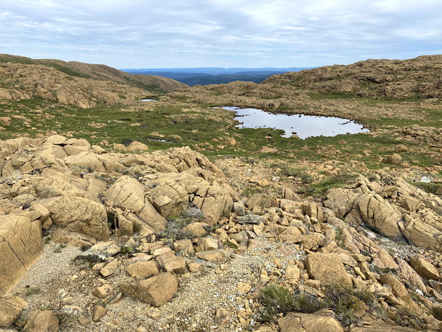
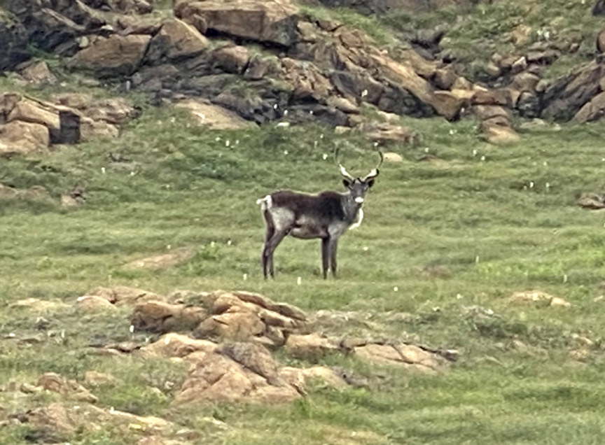
A lone young caribou was grazing in a sheltered mountaintop depression,
one in a series of cascading ponds and meadows.
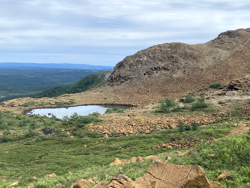
About halfway down the mountain, the stream tumbles over a rocky precipice to form a 100ft waterfalls that is unusually dry but still large enough to fill a small pool for a refreshing dip.


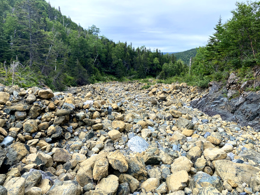
Paul’s route around was a little steep but not dangerous, with the remainder of the hike limited to rock hopping down a dry then not-so-dry streambed.
The 18 km (11 mile) looping trek took approximately 8 hours to complete at a leisurely pace.
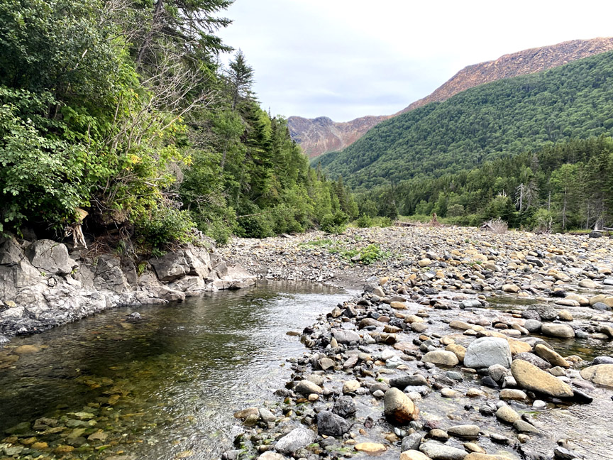
Though the return 6 km walk via Blue Hill Brook was a good learning experience made possible by 2020’s low water level, the lack of significant water features and good views combined with normally high water levels makes it a trek not recommended for most hikers.