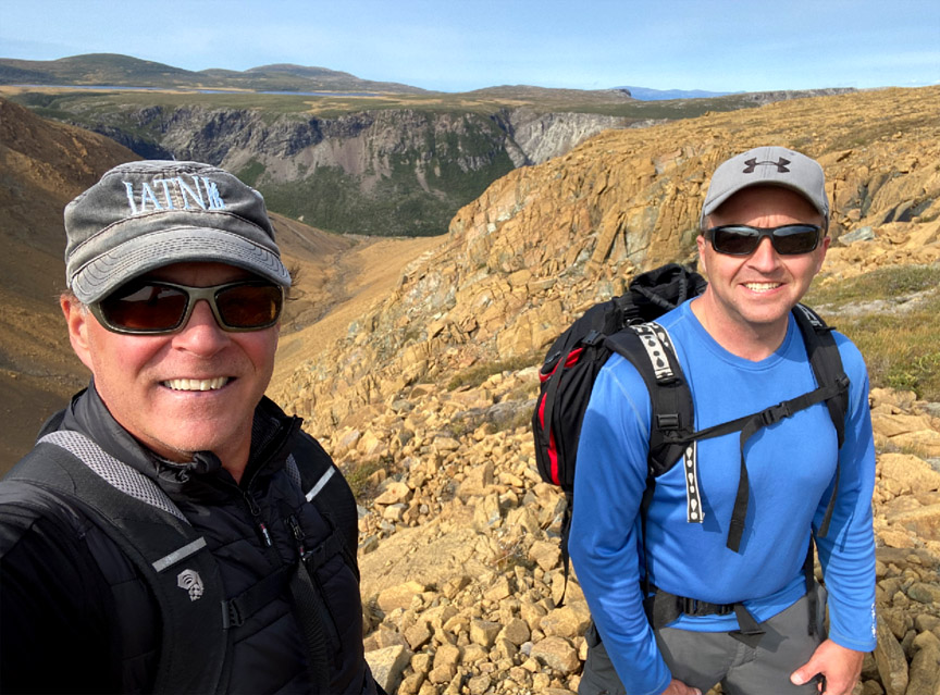
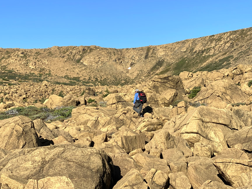
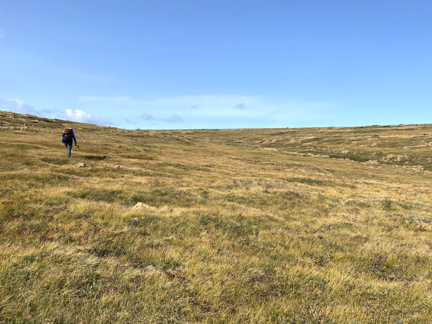
On September 16, IATNL directors Paul Wylezol (above left) and Delano Pittman set off from Benoit’s Cove on a 29km looping trek across the Blow Me Down Mountains to fine tune Cabox Geopark hiking routes and identify significant points of interest.
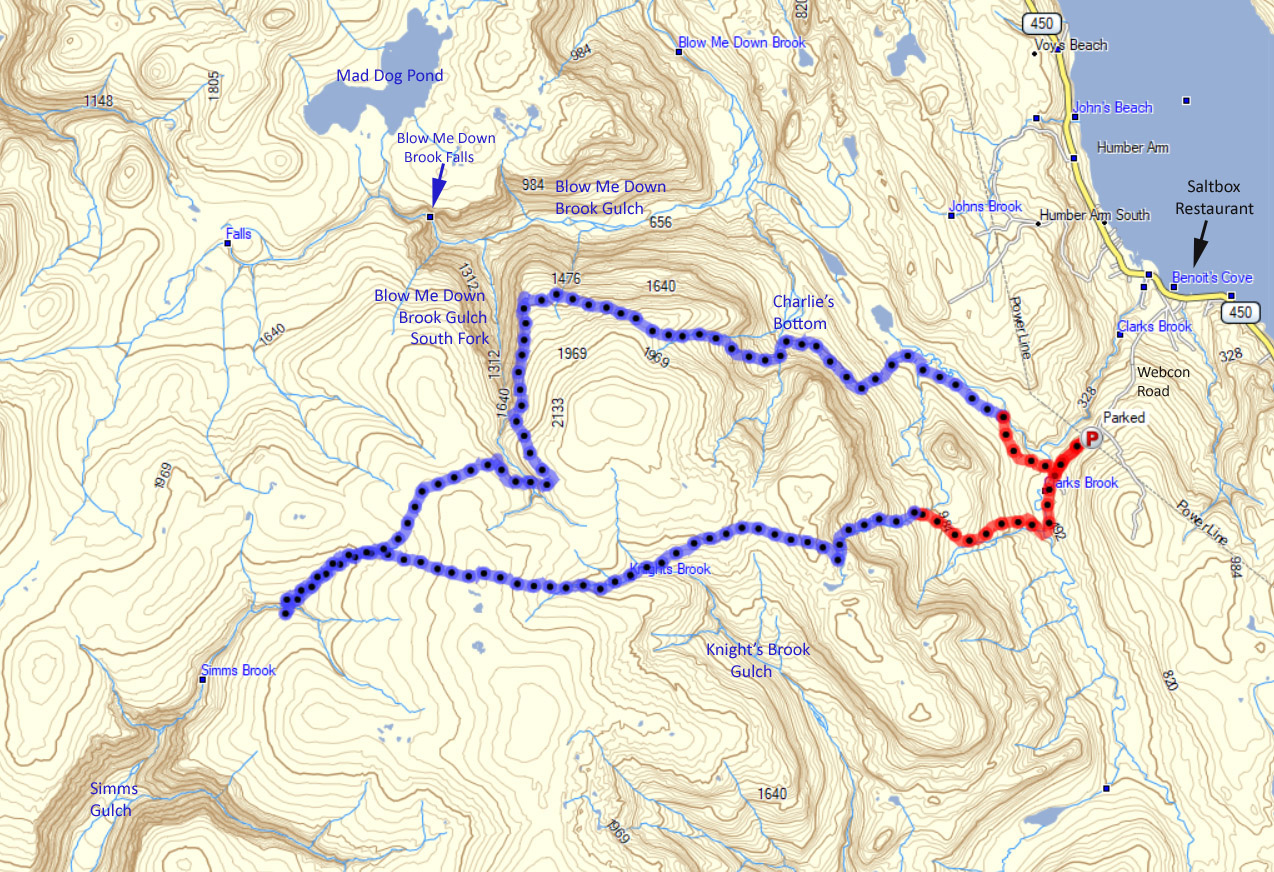
After a 3km drive up Webcon forestry access road, then a ford of Clark’s Brook, Paul and Delano scrambled up over a peridotite scree field on their way to the top of the mountains.
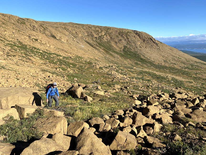
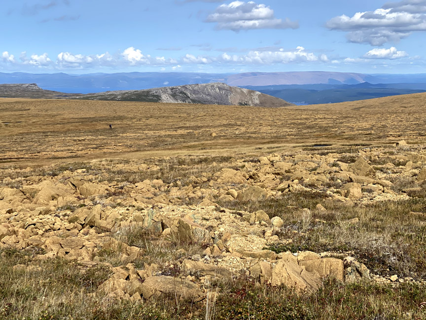
Once on top, the barren landscape changes considerably, to low rolling serpentine barrens with occasional patches of short grass and puddle-strewn wetlands.
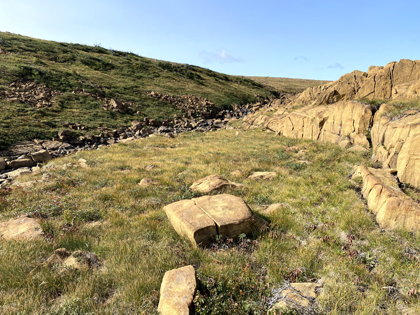
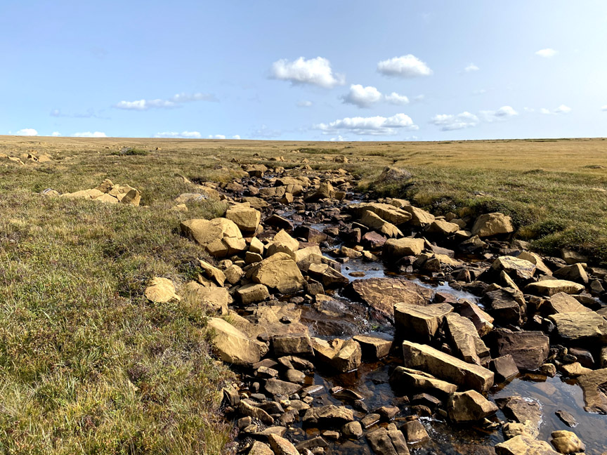
Heading in the direction of Simms Gulch, it wasn’t long before they reached the headwaters of Knight’s Brook
where hikers will find a series of cascading pools ideal for a refreshing dip on a hot summer day.
There’s a pleasant sheltered spot here on the north bank of the brook to pitch 3-4 small tents for the night. But Paul and Delano pushed on, as they only prepared for a day-hike.
From the brook they began a gradual 2km climb to the plateau between Knight’s Gulch, the south branch of Blow Me Down Brook Gulch, and Simms Gulch on the south side of the mountains.
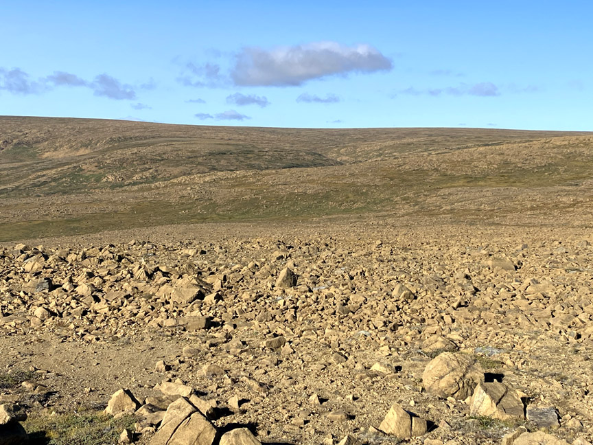
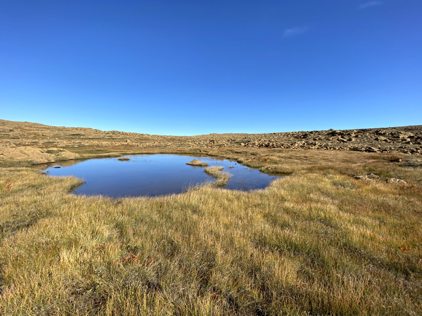
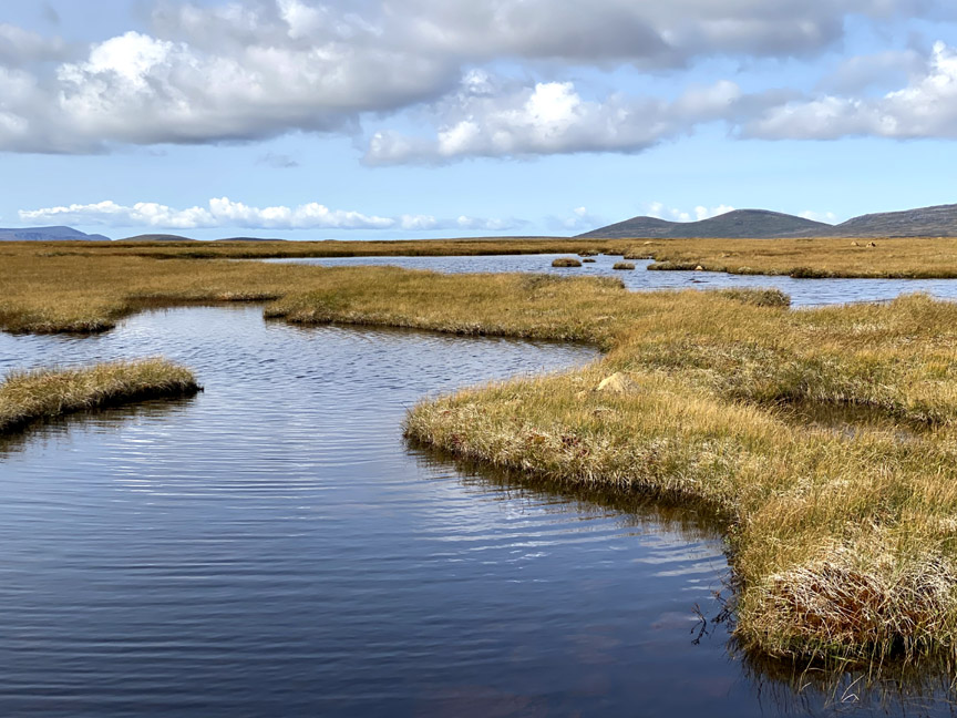
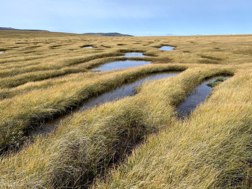
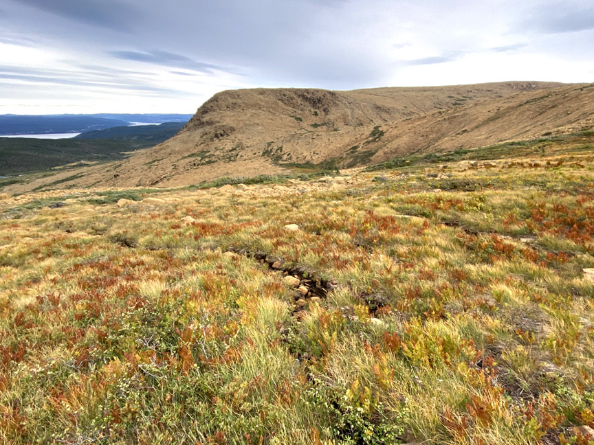
Once on top, the rocky slope gives way to a checkerboard maze of relatively firm peat bridges around irregularly shaped bog ponds.
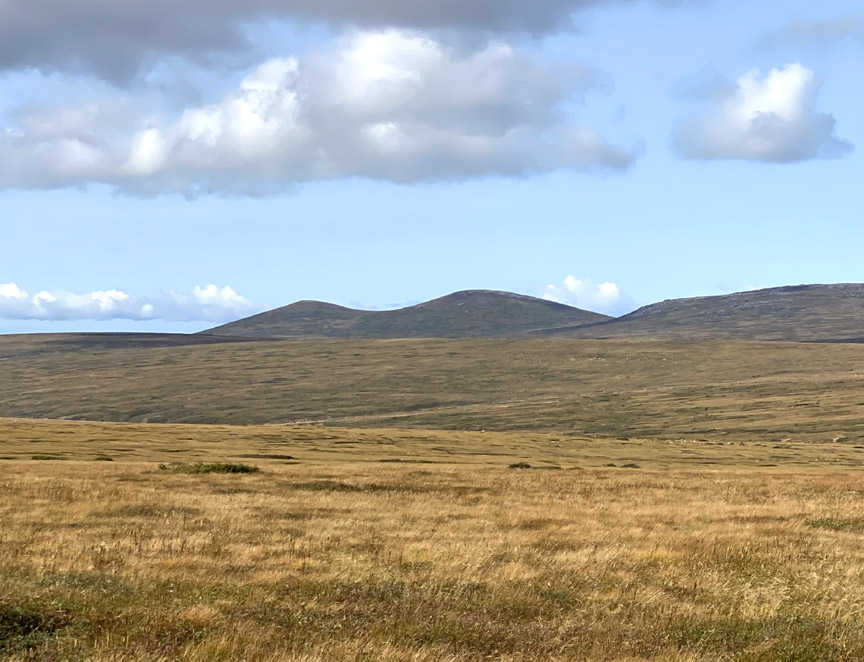
In the distance can be seen the twin mounds of the Haystacks which, together with nearby Round Hill at 2,500 feet (760 meters), are the highest points on the Blow Me Down Mountains.
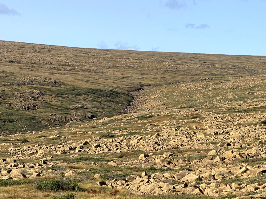
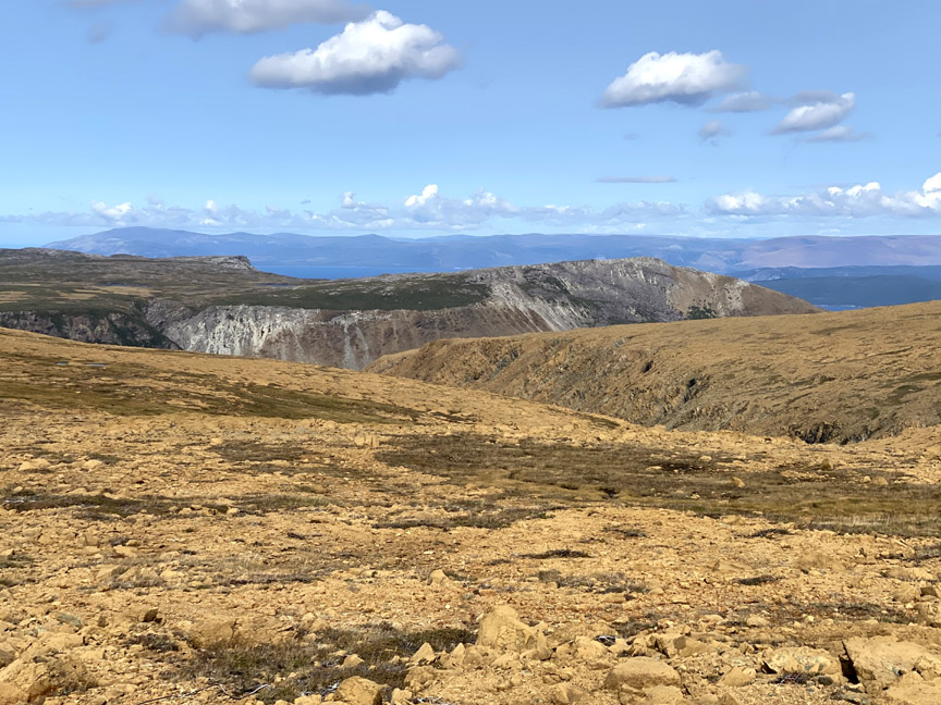
This central region of the Blow Me Down Mountains allows hikers to walk a straight line in nearly any direction (with the exception of the bog ponds), with no tree, scrub or tuckamore forests to impede progress. However Paul and Delano’s goal was to follow the headwater stream of Simms Gulch’s north fork to fine tune the IATNL Blow Me Down Mountain Trail route and Cabox Geopark’s UltramaTrex.
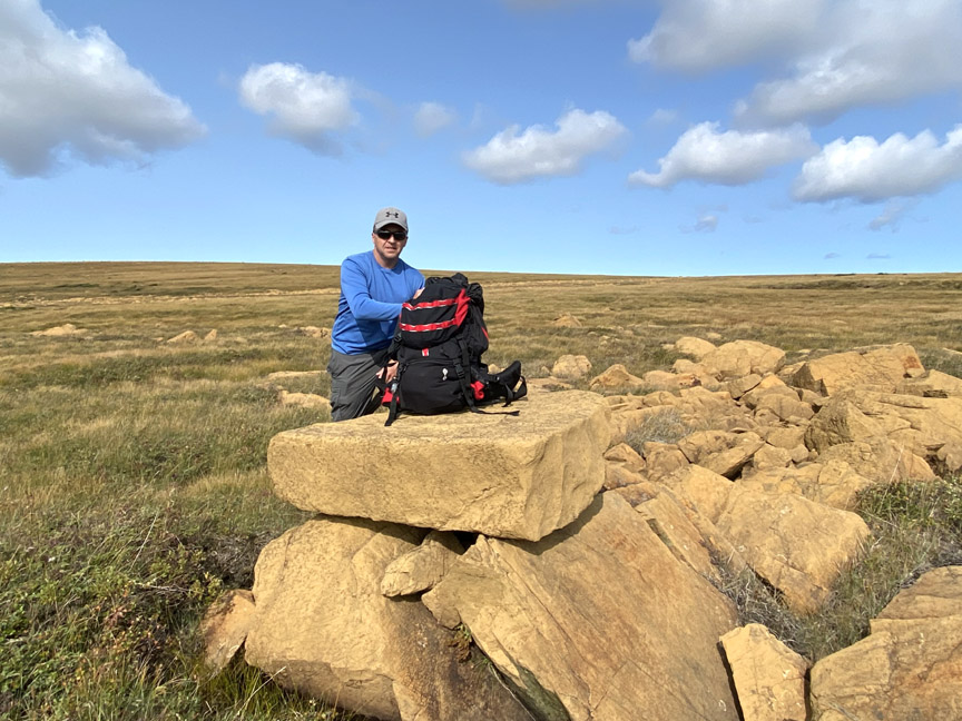
But first they took a time out for a midday lunch at Table Rock.
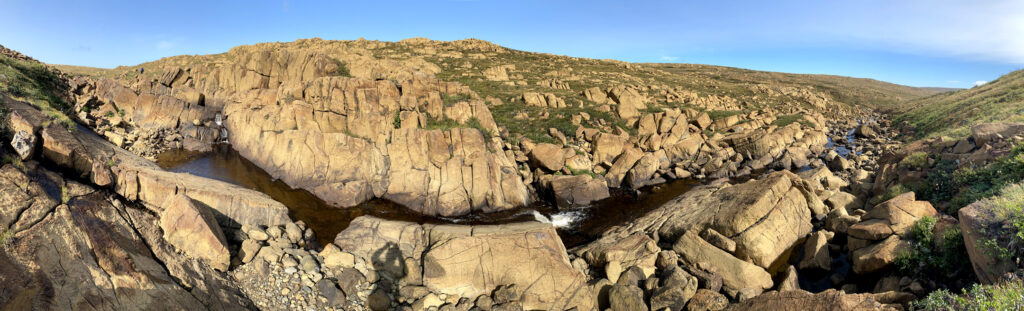
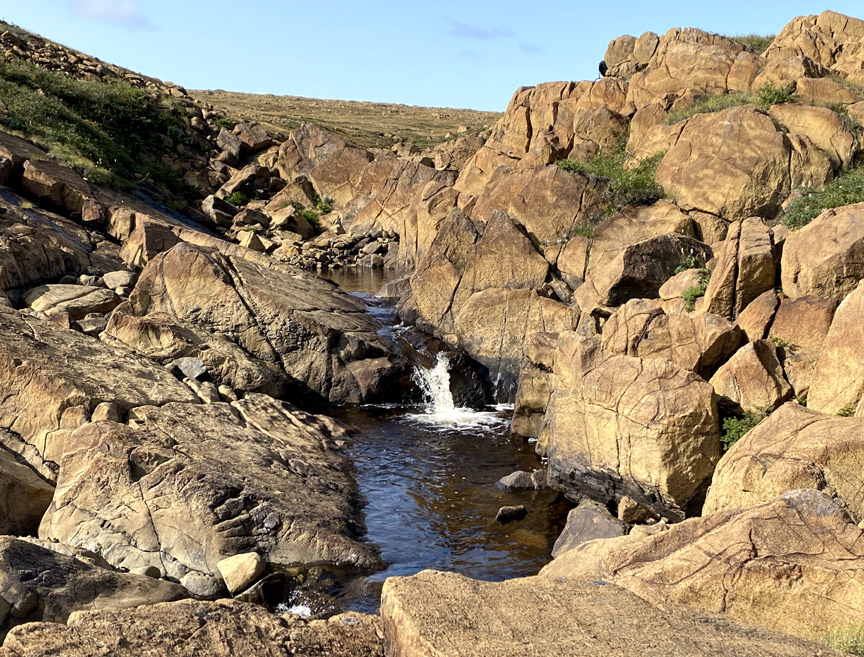
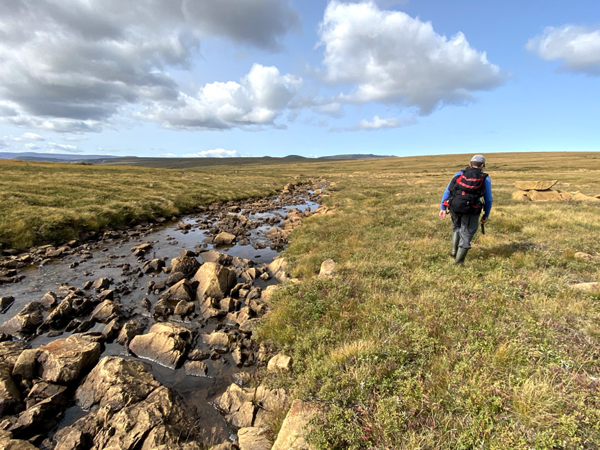
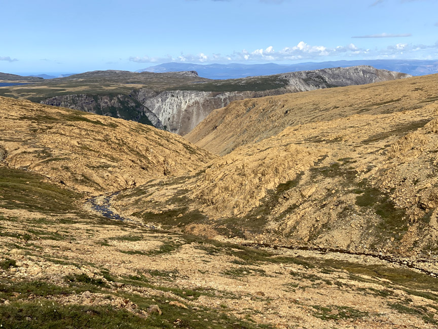
When under way again, it wasn’t long before the stream started carving deeper into the ultramafic landscape of rust-colored boulders framed by surprisingly lush green grass.
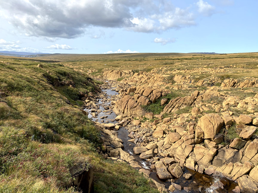

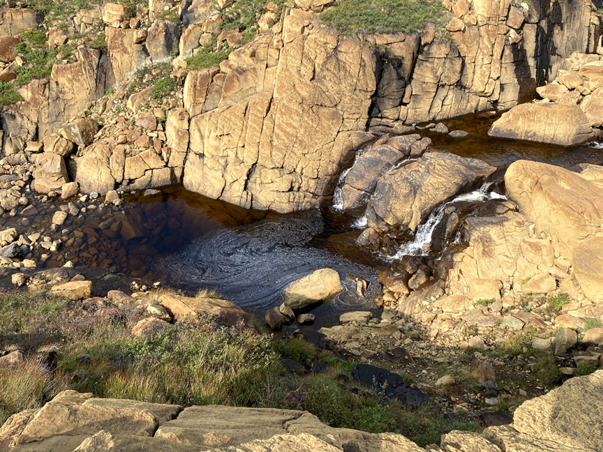
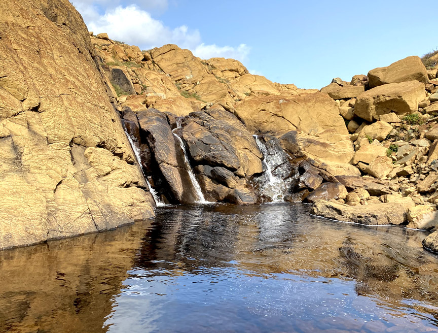
Less than a kilometer downstream from Table Rock is Three Sisters Waterfalls, a pretty little falls flowing into a sizeable pool, big enough for a large group of hikers to cool off together in a natural not-so-hot tub.
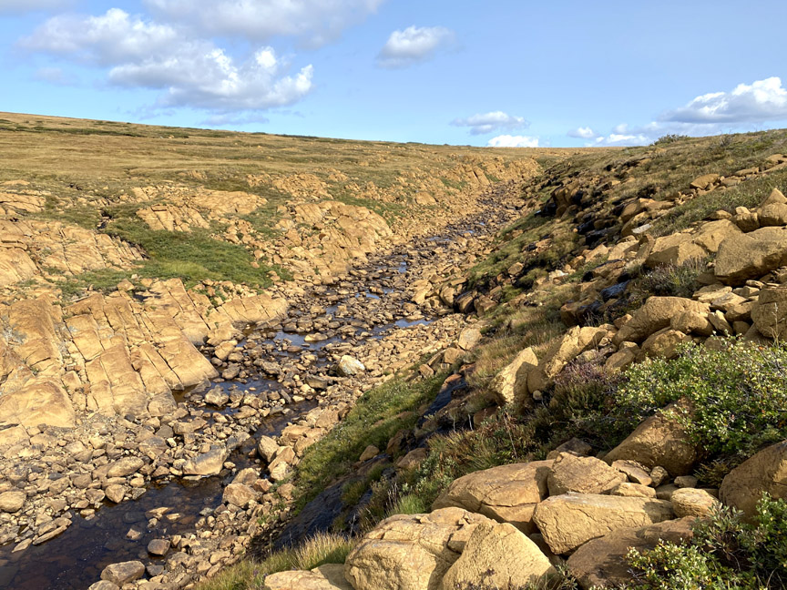
Another half kilometer and Paul and Delano reached the first confluence of the north fork, where two headwater streams join forces to cut deeper still into the massif.

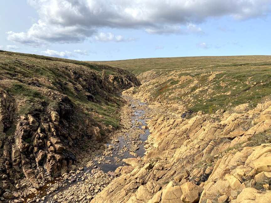
After identifying the best route to cross the stream and climb out of the gulch before it turned into a canyon, it was time to turn around and head back to the truck before it was too late.
This time our two intrepid explorers decided to follow the route of the Blow Me Down Mountain Trail and UltramaTrex and head toward the west bank of the south fork of Blow Me Down Brook Gulch, taking care to avoid another maze of small bog ponds.
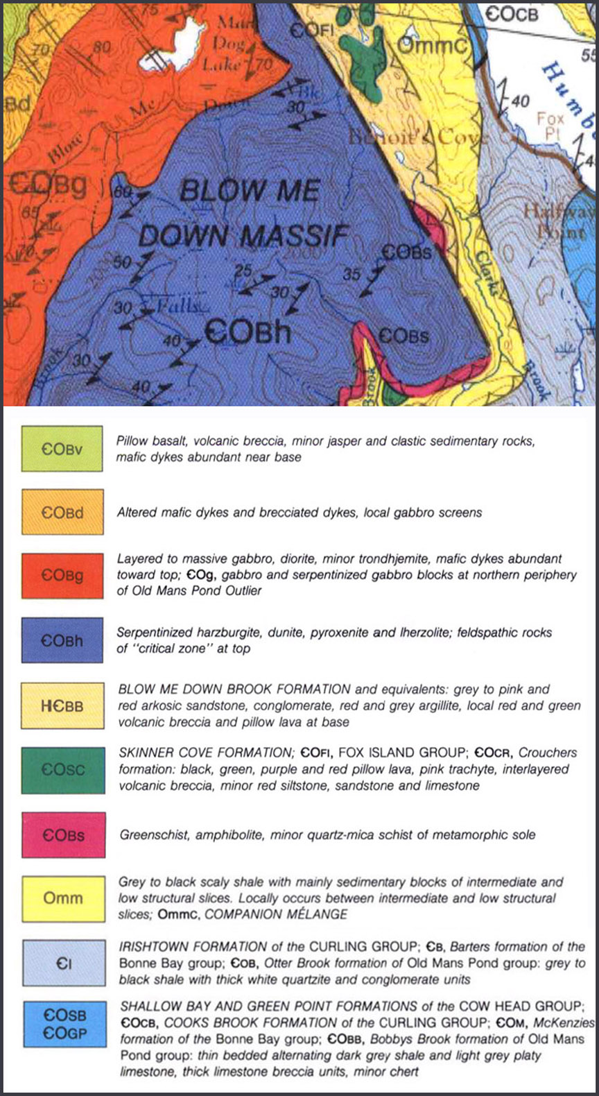
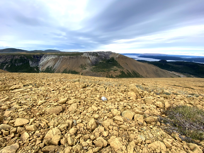
Descending a long gentle slope towards the gulch, one can easily see the light-gray gabbro protrusion characteristic of the ocean crust on top of its west flank, and the rust-colored North Arm Ophiolite Massif across the Bay of Islands in the background.
The expansive serpentine barrens here brings to mind an unearthly Marscape

though with liquid water carving this subterranean surficial landscape.
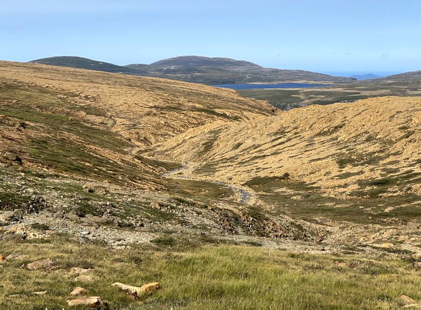
At this point Paul and Delano departed from the BMDM and UltramaTrex routes and crossed the upper reaches of the south fork

which here is a gently sloping mountain valley with good views of Mad Dog Pond and Cape Blow Me Down to the north across the gulch.
Once across the south fork, the trek along the east flank provided spectacular contrasting views to the main gulch, which like Simms Gulch to the south, contains a dividing line between ocean crust and earth’s mantle.

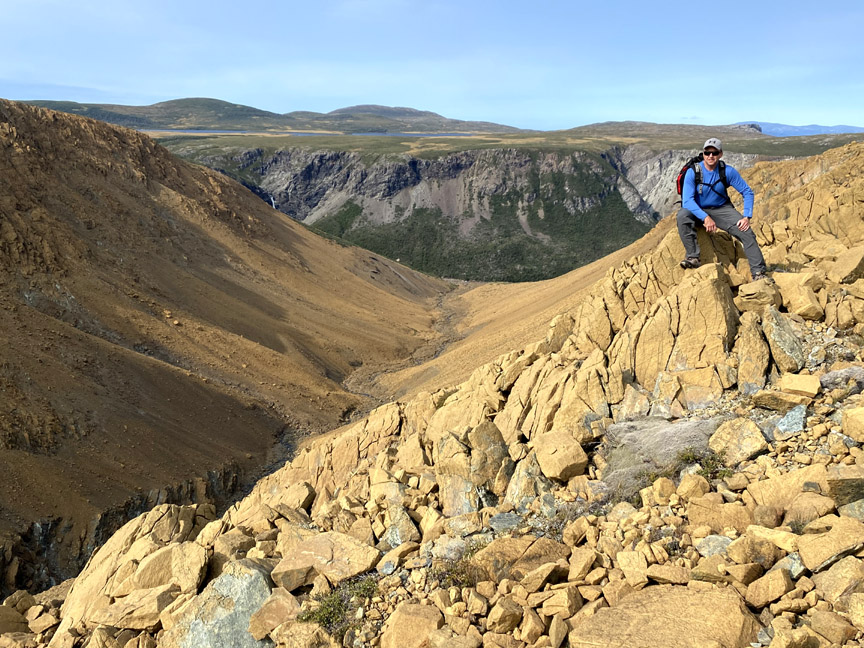
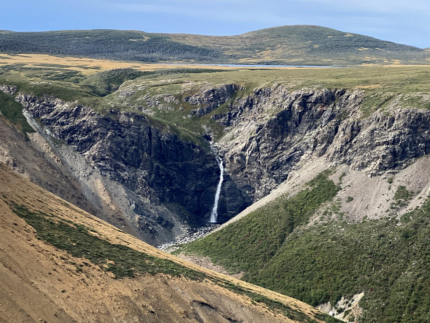
Soon 300ft Blow Me Down Brook Falls reveals itself in all its splendor
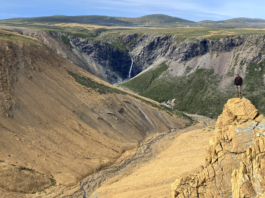
though its large deep pool below is out of reach to mountaintop hikers.
With daylight hours drawing to a close, Paul and Delano turned east and followed the rim of the south flank of Blow Me Down Brook Gulch, which provides terrific views of the Bay of Islands
before crossing over the headland and descending into Charlie’s Bottom.

where the ferns were beginning to take on their autumn colors.
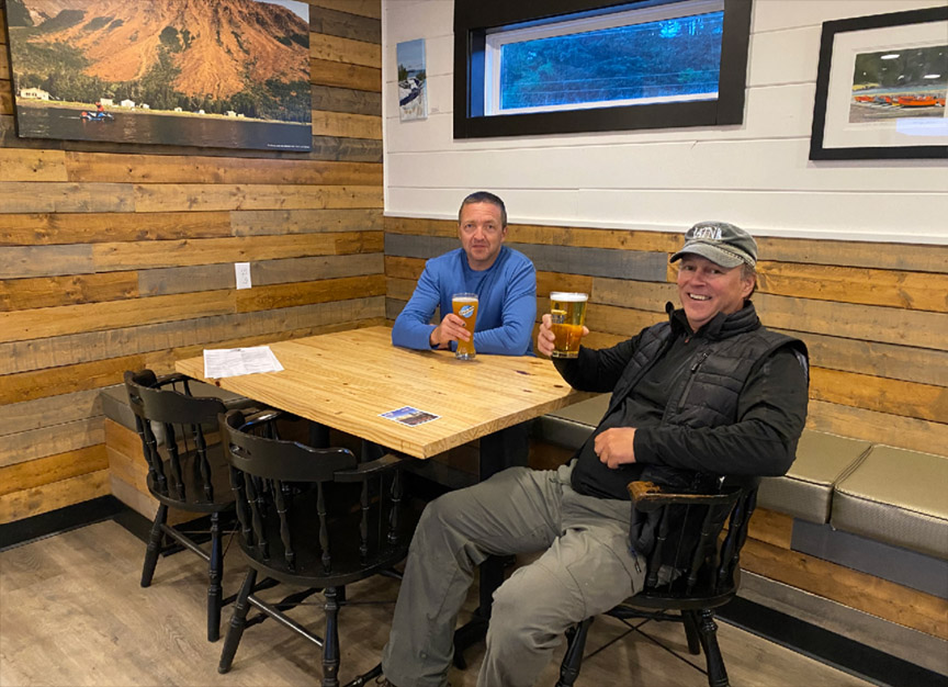
From there it was a 1.5 hour walk back to the truck along the base of the mountains, then on to Saltbox Restaurant in Benoit’s Cove for an ice cold beer and delicious Blow Me Down Burger!