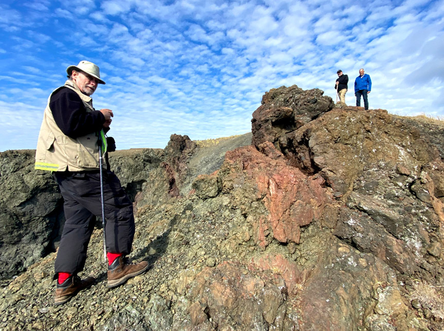
During the month of October, Memorial University of Newfoundland (MUN) Adjunct Professor Dr. Andy Kerr toured the lower Humber Valley, Bay of Islands and Trout River regions with the goal of identifying significant geological sites, or geosites, within Cabox Aspiring Geopark.
For the past 3-4 years, Dr. Kerr has been assisting Cabox by contributing to its geological storyline, including for the EU-funded Drifting Apart project.
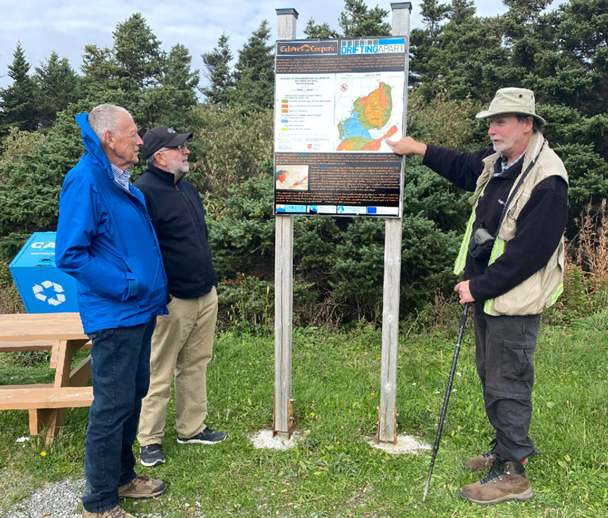
Dr. Kerr began his tour with a visit to the south side of the outer Bay of Islands, with a stop at the Cape Blow Me Down Trail parking lot where he identified pillow lava near the Copper Mine mineshaft and viewed Cabox storyboards created during the Drifting Apart project.
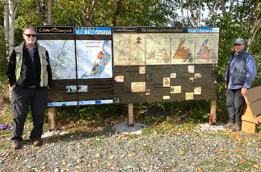
At Bottle Cove, Andy viewed a Cabox interpretive panel outlining the geology of the area
before hiking the Bottle Cove Trail, where he discovered more examples of pillow lava not far from sedimentary formations adjacent to the nearby beach.
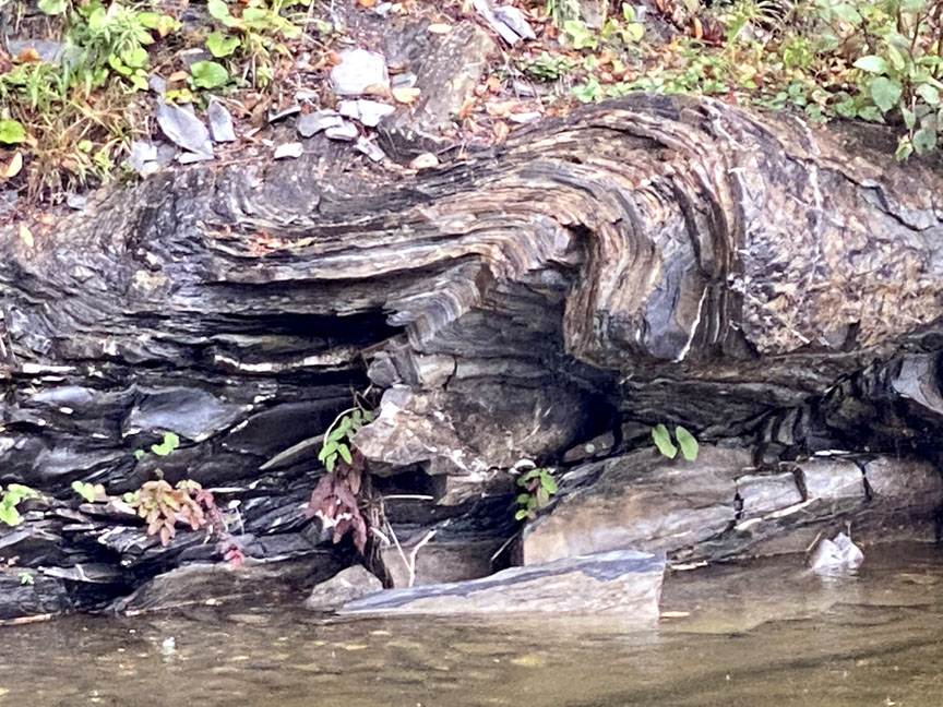
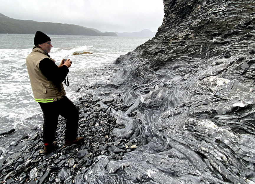
The next day Dr. Kerr explored sedimentary structures along Cook’s Brook, namesake of the Cook’s Brook Formation which extends south to north across Humber Arm and Middle Arm, where later in the month he viewed spectacular folds, faults and thrusts by boat.
Dr. Kerr’s next adventure brought him to the north shore of Humber Arm and along the coast between Cox’s Cove and Brake’s Cove in Middle Arm.
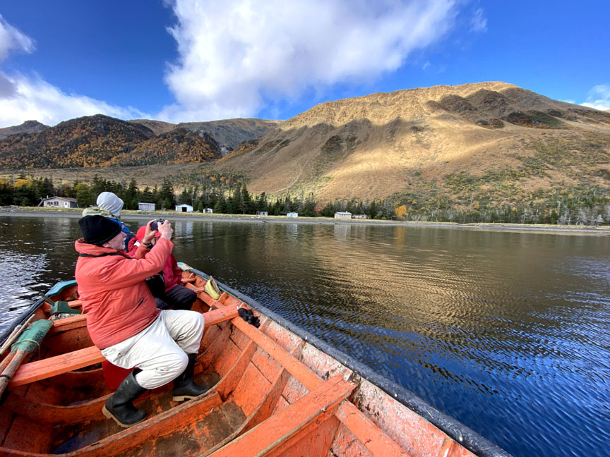
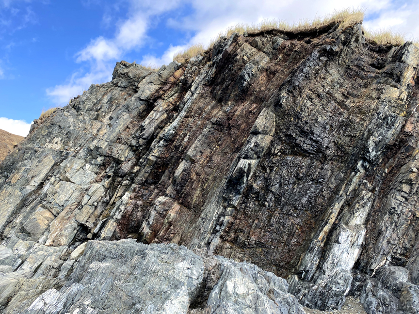
The folding sedimentary layers at Cox’s Cove (part of the Cook’s Brook Formation) extend across the arm to Big Head and North Arm Point, where a week later Andy was touring the coast in a Bay of Islands dory.
From North Arm Point, Andy crossed North Arm to explore the coast between Liverpool Brook and Shiveree Point, but not before stopping at the IATNL/Cabox basecamp at Stowbridges to view the cove’s extensive pillow lava.
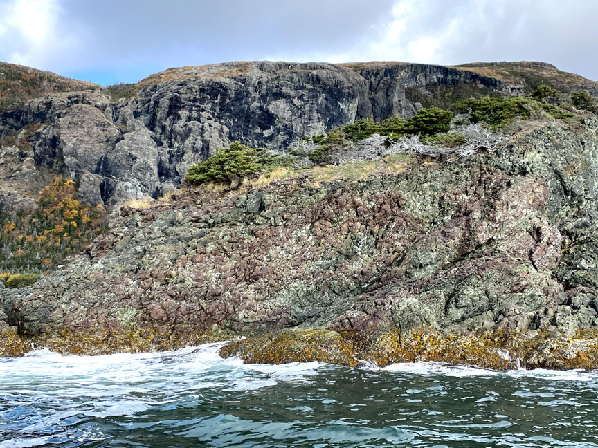
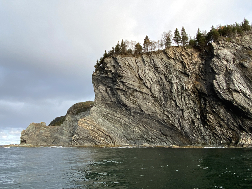
East of Stowbridges is North Arm Ophiolite Massif, the only one of the four Bay of Islands Ophiolite Massifs that submerges directly into the ocean.
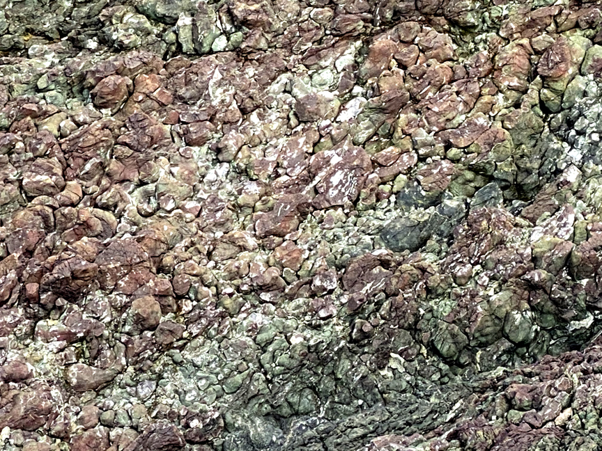
The massifs are composed primarily of peridotite, an ultramafic rock from the earth’s mantle which is high in magnesium and iron, which oxides (i.e., rusts) when exposed to oxygen.
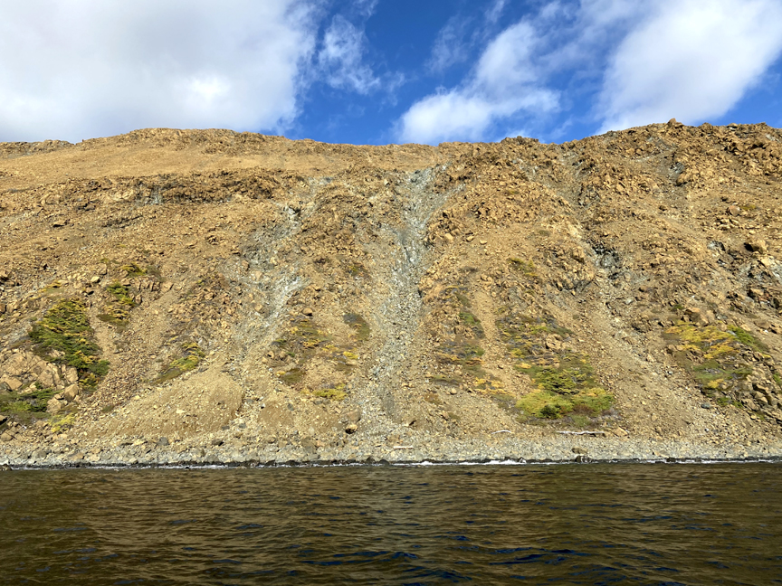
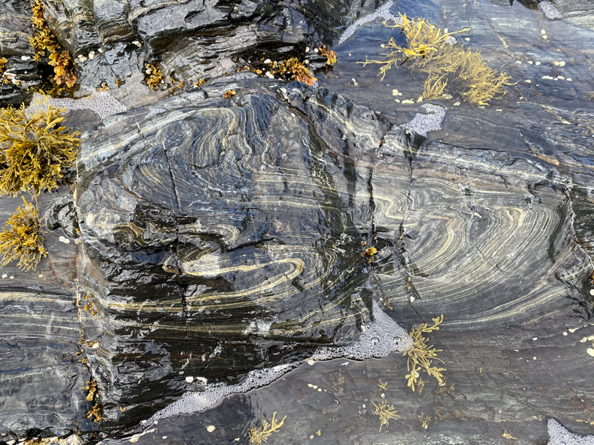
Halfway into the arm is Pond Point, where the only section of metamorphic sole – or aureole – is located on a coastline, which exposes it to the ocean surf and makes it highly visible.

The aureole is the metamorphic layer beneath the ophiolite which was transformed by heat and friction as the massif was emplaced on the earth’s surface by tectonic forces during the closing of the Iapetus Ocean and formation of the Appalachian Mountains.
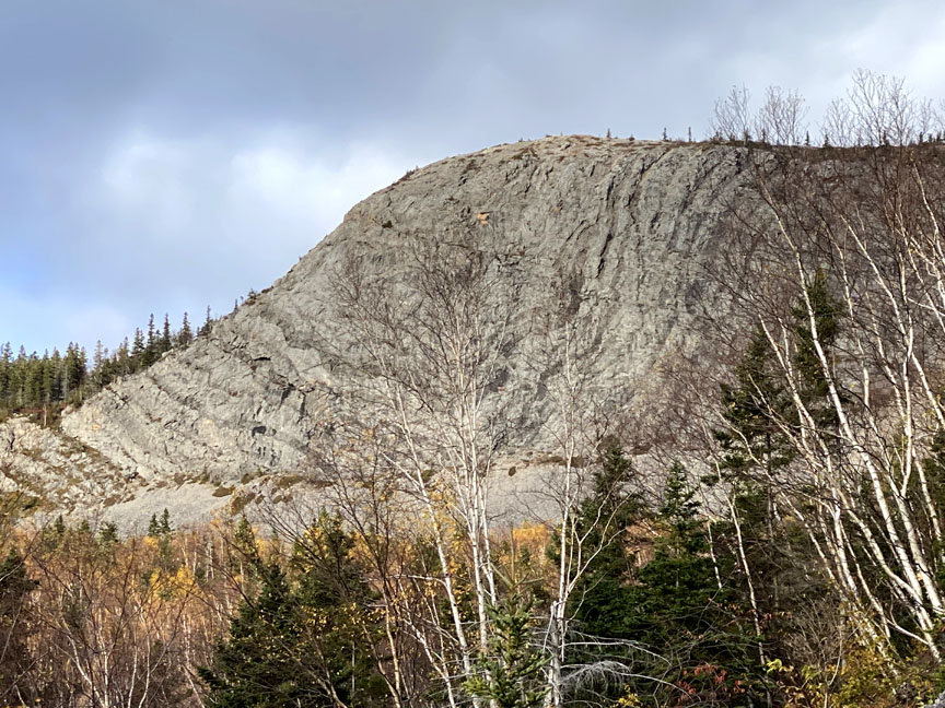
After touring the Bay of Islands, Dr. Kerr spent some time exploring Corner Brook and the lower Humber Valley, where two large synclines (U-shaped sedimentary formations) show clear evidence of the tectonic forces that shaped the landscape here.
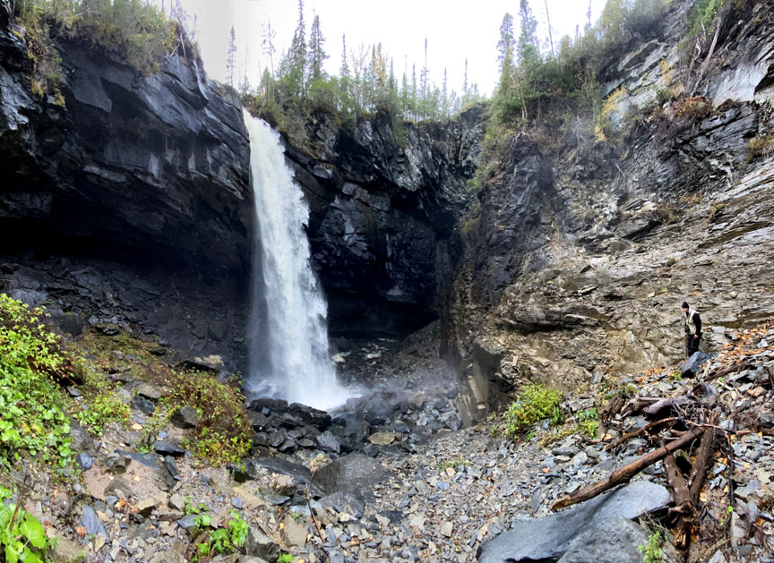
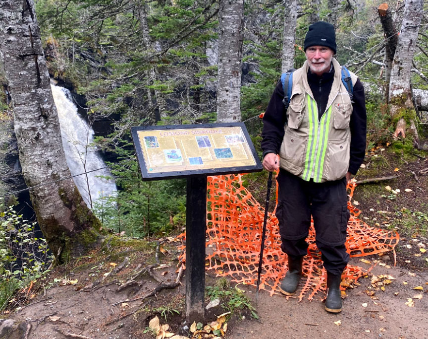
The ancient continental slope which defines this region extends to East Arm of Bonne Bay. Near Lomond, Andy visited the well-known sinkhole, where a stream eroded soluble layers of limestone bedrock until it formed an underground cave which eventually collapsed, creating a deep hole with a waterfalls flowing into it and out through the bottom.
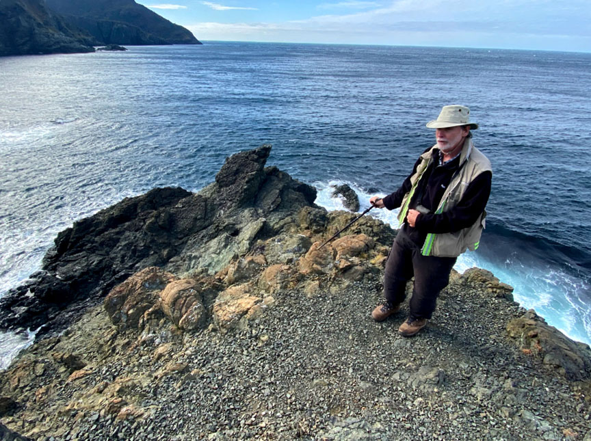
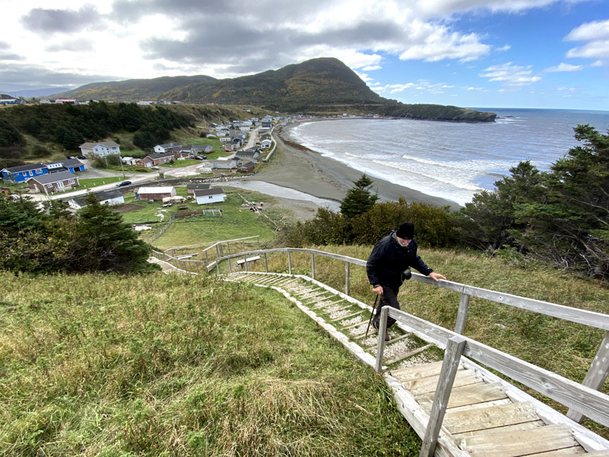
From the Lomond Sinkhole, Dr. Kerr travelled to Trout River to hike the Old Man Sea Stack and Lighthouse Trail and Eastern Point Trail, on opposite sides of the cove.
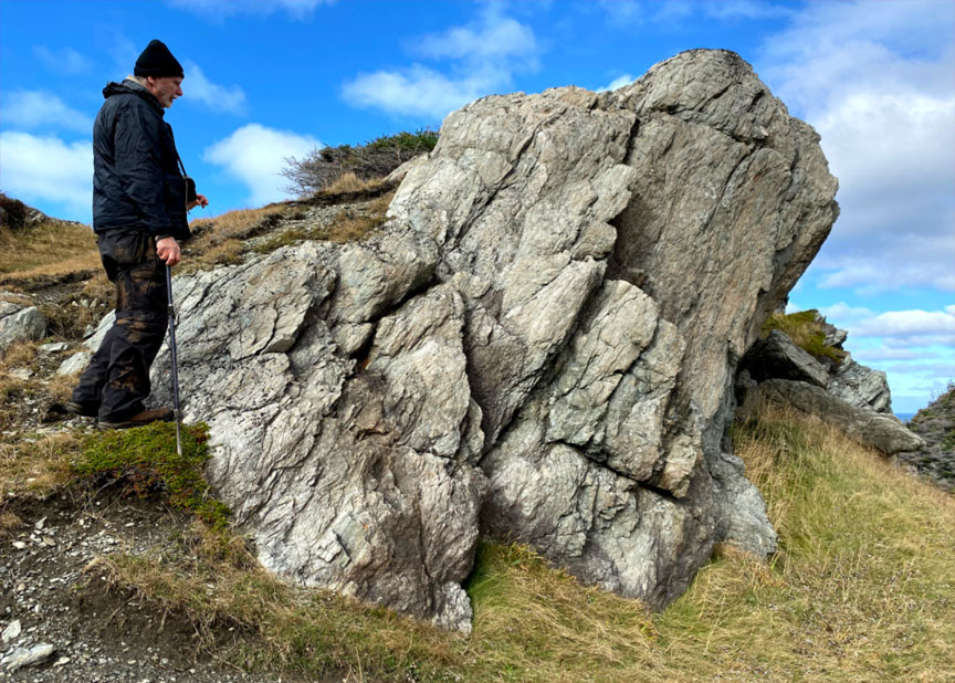
The coastline here is defined by the Little Port Island Arc Complex, with similar igneous formations as the Little Port/Bottle Cove region on the south side of the Bay of Islands.
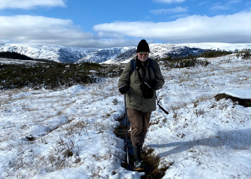
From the northern end of the Geopark to the southern, Andy next hiked the IATNL Lewis Hills Trail across the foothills near Fox Island River. However because of an early snowfall in the mountains, most rocks were barely visible and the cold wind precipitated an early departure.
It was a productive and exciting month of exploring and identifying rock types and formations. The next step is to put pen to paper (or is it fingers to keyboard?) and compile the results. We thank Andy for volunteering his time and energy in this pursuit and look forward to his report.
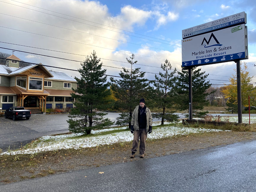
We also thank Marble Inn and Suites for the great deal on accommodations for Andy during the month of October. Good luck with the winter tourism season. Hopefully much snow brings many skiers and snowmobilers!
View Andy’s story on Saltwire’s The Telegram website.
To be continued…..