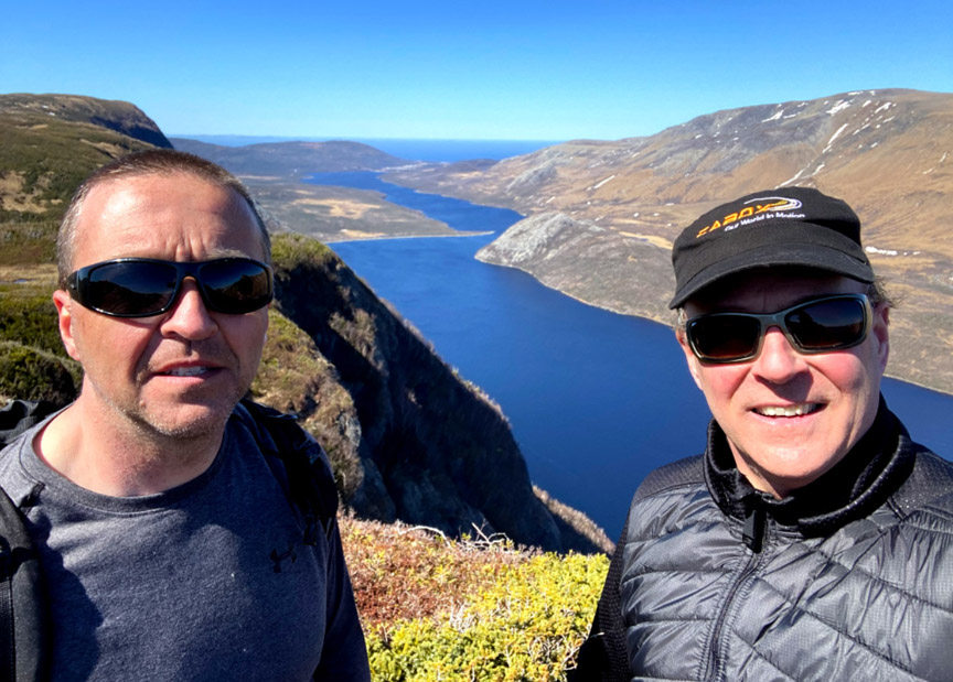
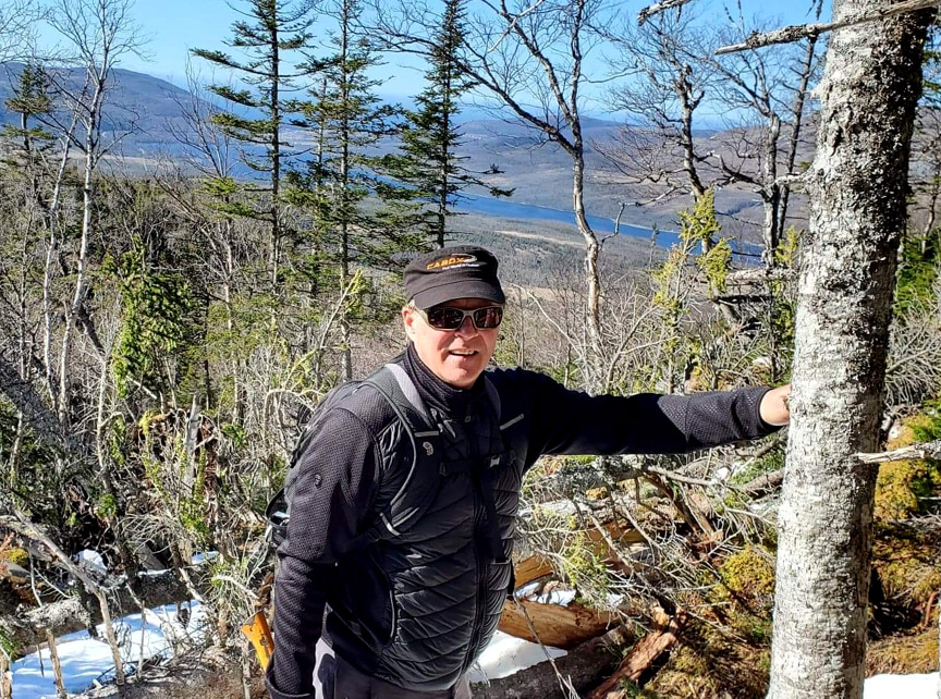
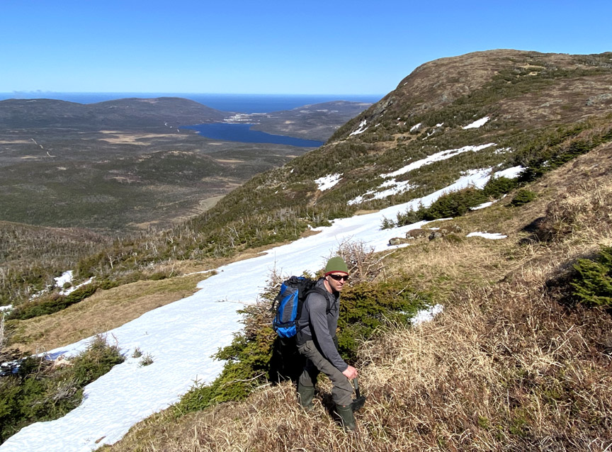
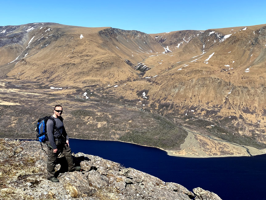
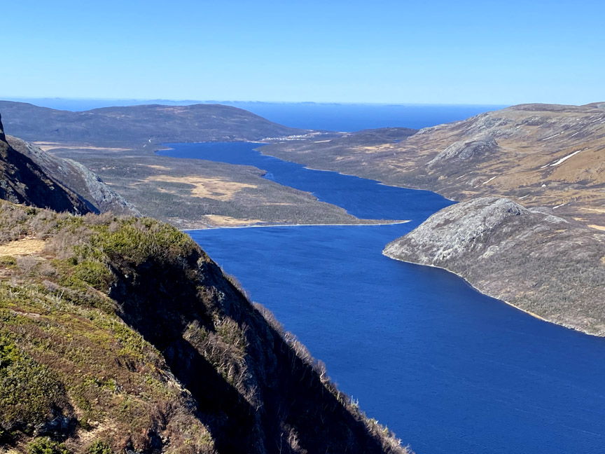
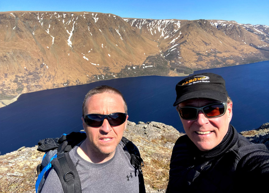
Delano Pittman, left, and Paul Wylezol overlooking the Tablelands and Trout River Pond
On April 14 during the mildest spring in many years, IATNL Directors Paul Wylezol and Delano Pittman took advantage of a blue sky day to make the first spring trek of the new IATNL/Cabox Geopark Elephant Trail on the south side of Trout River Pond, which will be completed to the top of the Elephant’s back by early Summer 2021.

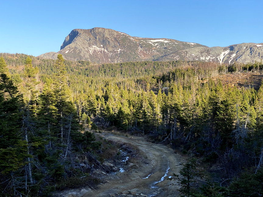
The 10-hour 23-kilometer trek began approximately 2kms past Trout River Campground on Chimney Cove gravel access road, where an ATV trail makes a right angle intersection and follows the Gros Morne National Park boundary southeast to within 1 kilometer of the foot of the Elephant.
From there Paul and Delano turned off onto the Elephant Trail and were soon crossing Narrows Brook
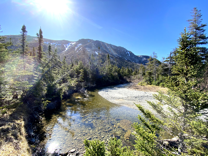
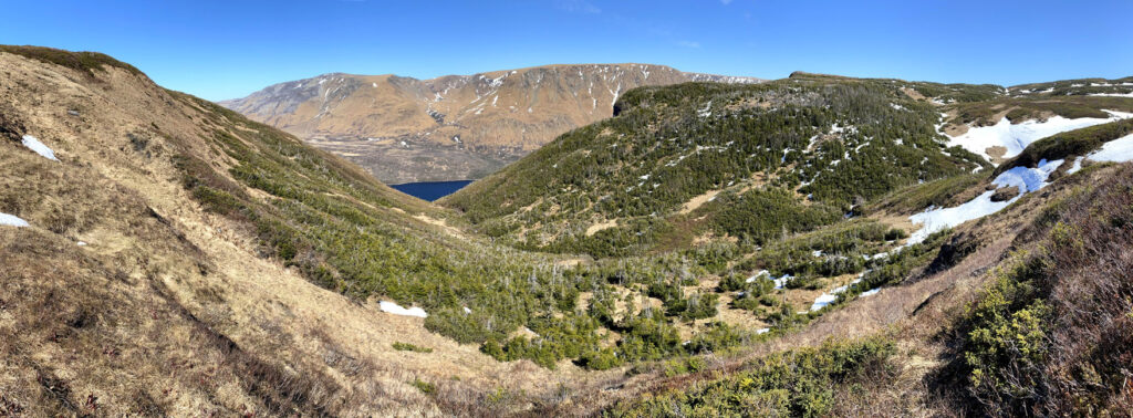
and heading up the base of the hill to a small pond in a valley at 300 meters elevation.
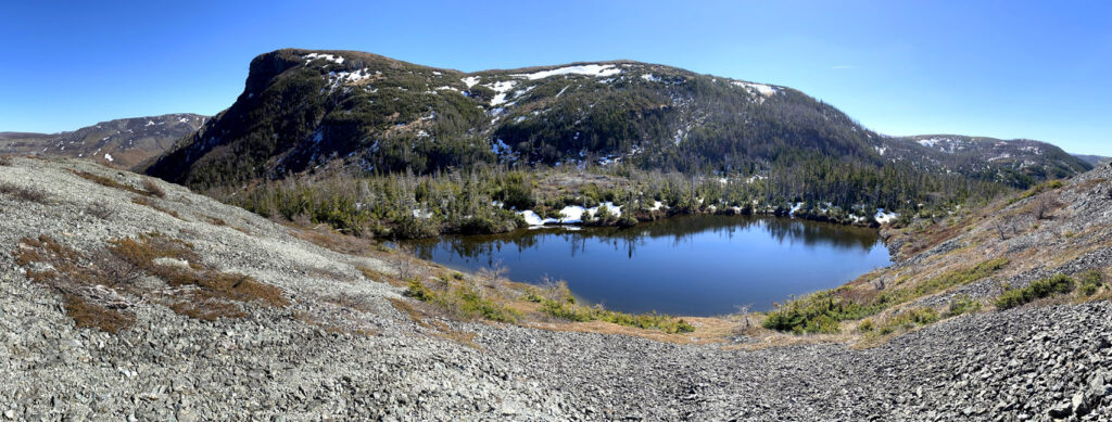
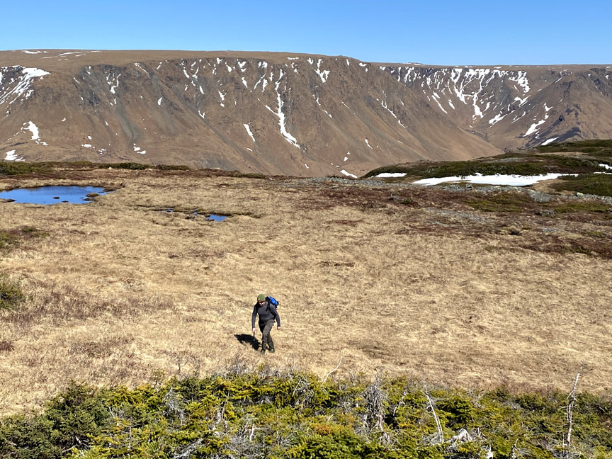
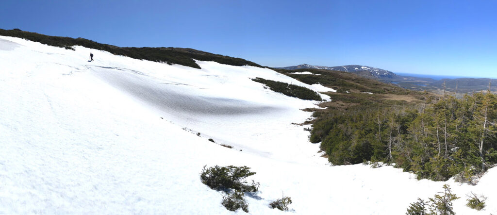
Once around the pond, the trail route ascends through mixed forest and patches of snow
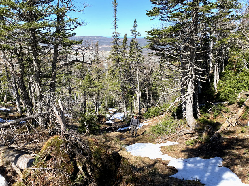
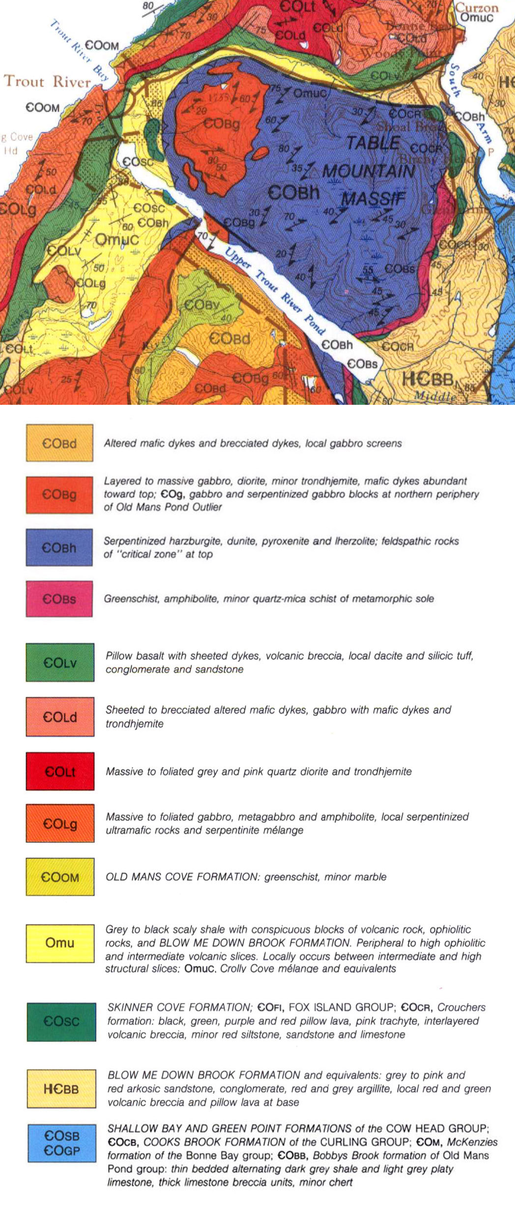
until it passes the treeline and climbs onto the mountaintop barrens.
In early spring hikers will find large patches of snow here and there, though all are generally easy to cross.
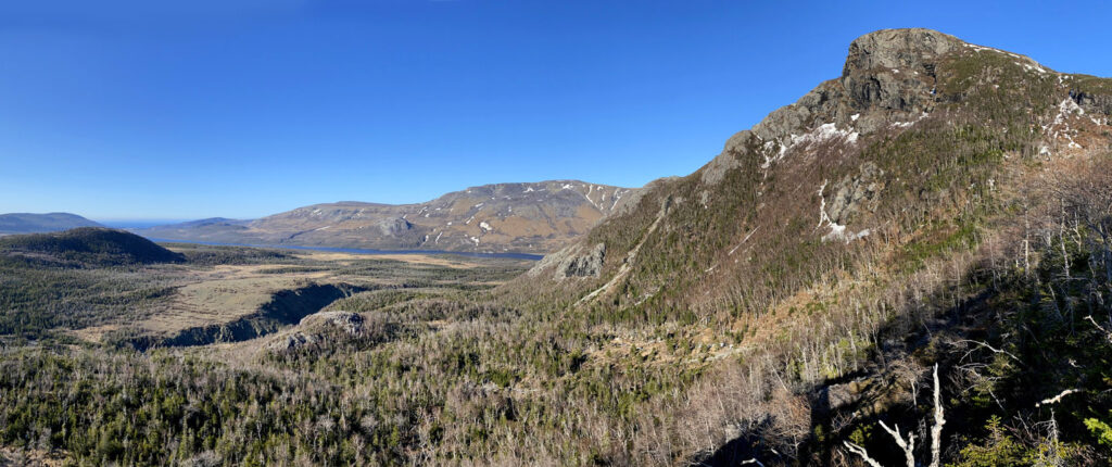
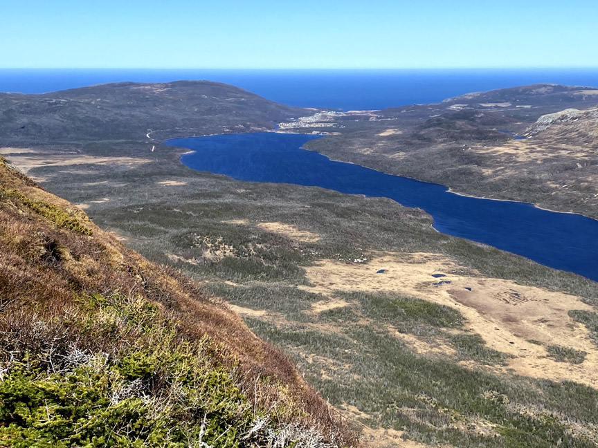
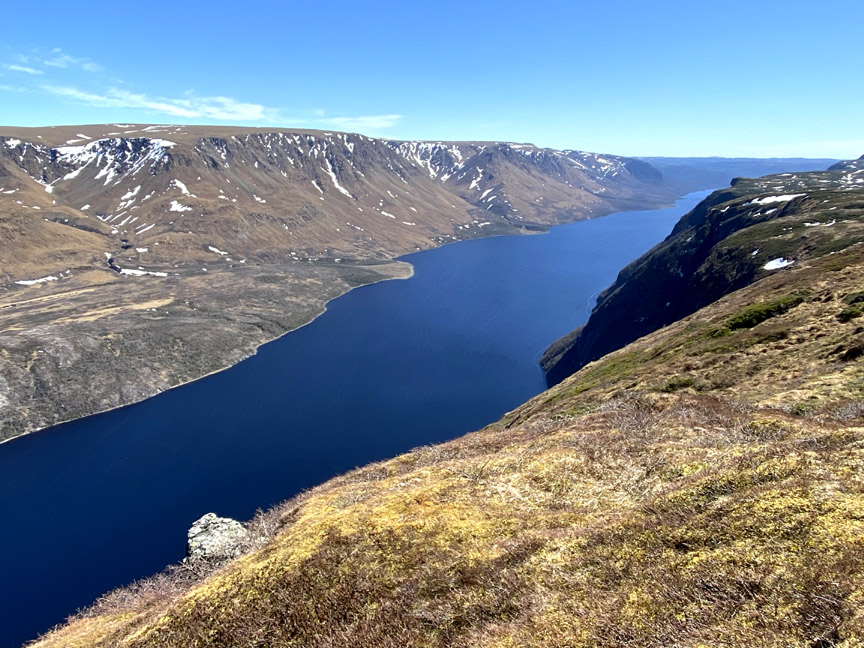
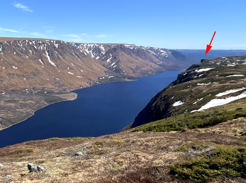
Once on top of the Elephant’s Back, it wasn’t long before Paul and Delano were walking across the Gros Morne National Park boundary and onto the 470 meter (1,550 feet) high Elephant’s Head to take in the fantastic view of Trout River Pond and Table Mountain Ophiolite Massif, aka Tablelands.
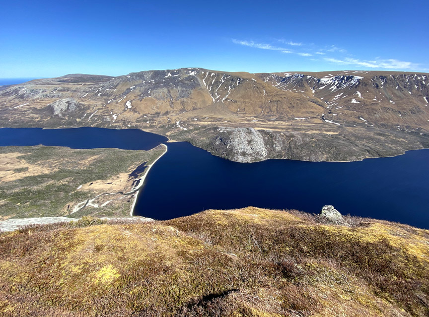
The extremely wide short view (approximately 180 degrees), combined with its southern exposure and quasi fluorescent effect of the rust-coloured ultramafic rock peridotite from earth’s mantle, positions it to compete favourably with Western Brook Pond’s iconic narrow long view as the most scenic vista in Gros Morne National Park.
The Tablelands are the most northerly of the Bay of Islands Ophiolite Massifs and rise to a height of 700 meters (2300 feet). All four of the Ophiolites (the others are North Arm Hills/Gregory Mountains, Blow Me Down Mountains and Lewis Hills) are composed primarily of peridotite and light-gray gabbro from the ocean floor. Both were thrust upon the granite and gneiss of ancient North America by plate tectonics during the closing of the Iapetus Ocean, precursor of the Atlantic Ocean.

Unlike the Tablelands on the north side of Trout River Pond, the northern edge of the North Arm Hills on the south side of the pond where Paul and Delano were hiking are composed primarily of altered mafic dykes and brecciated dykes, also components of an ophiolite suite.
And because of it, the south rim is covered in grass, shrubs and patches of 4-6 feet high scrub.
But of course the star of the show is the myriad of fantastic views.
From the Elephant, hikers can easily walk southeast following grassy leads and moose and caribou paths that weave around small bog ponds and patches of thick low spruce scrub.
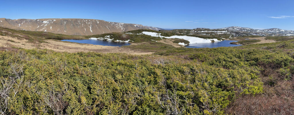
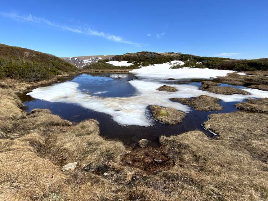
In early spring, patches of snow and small pond “ice floes” add detail to the landscape
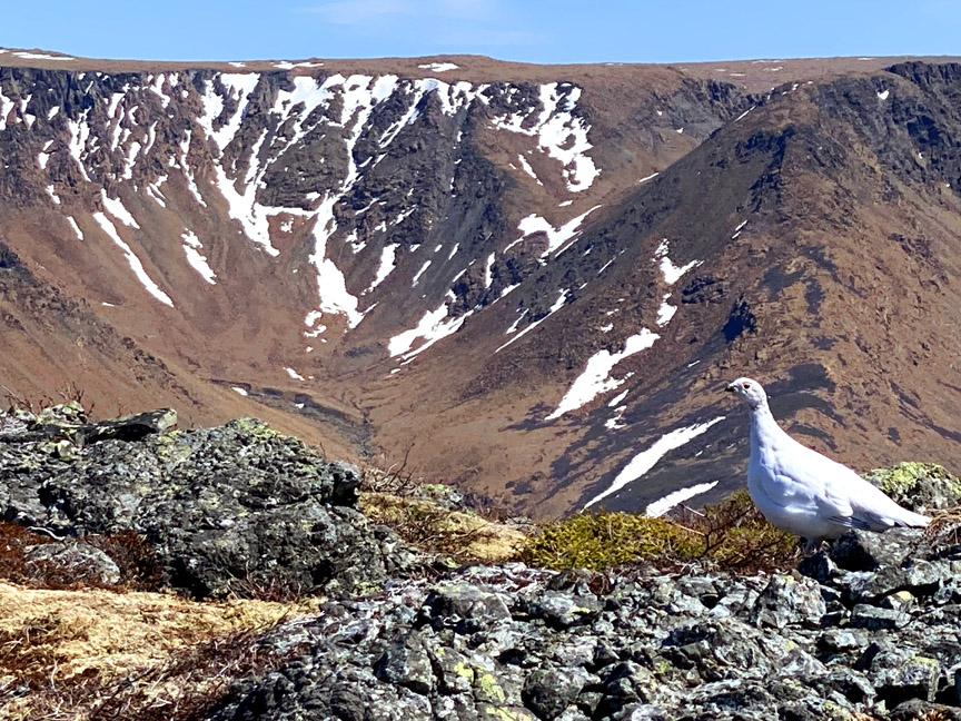
but when spring comes early like in 2021, the rock ptarmigan and partridge are betrayed by their winter’s camouflage.
About 2kms as the ptarmigan tries to fly is a rocky outcrop protruding from the south rim which was Paul’s and Delano’s ultimate destination.
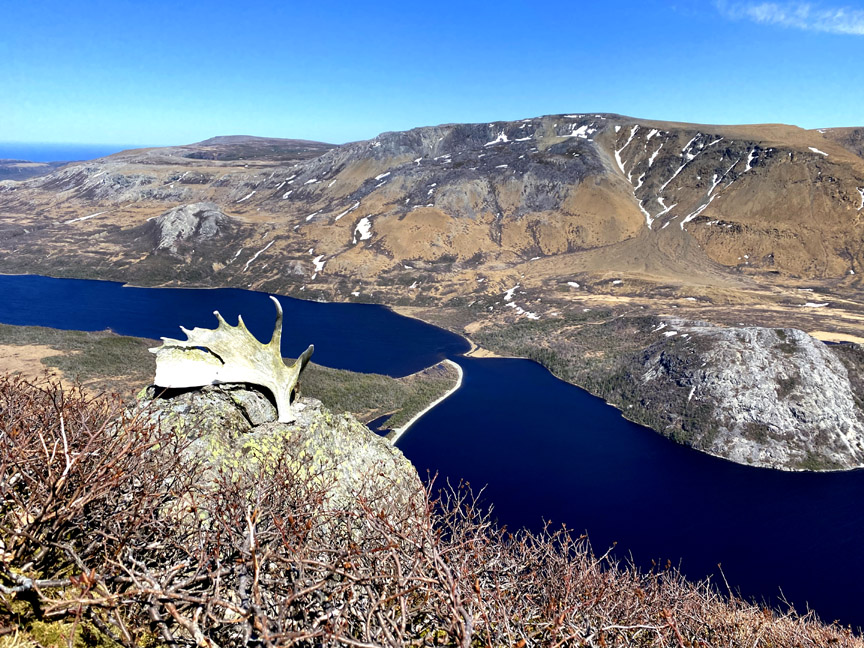
Along the way they passed through a pleasant valley with good views of the Tablelands.
Once at the outcrop the views were as spectacular as those from the Elephant’s Head, including one into Fox Point Gulch
and another into Long Point Gulch.
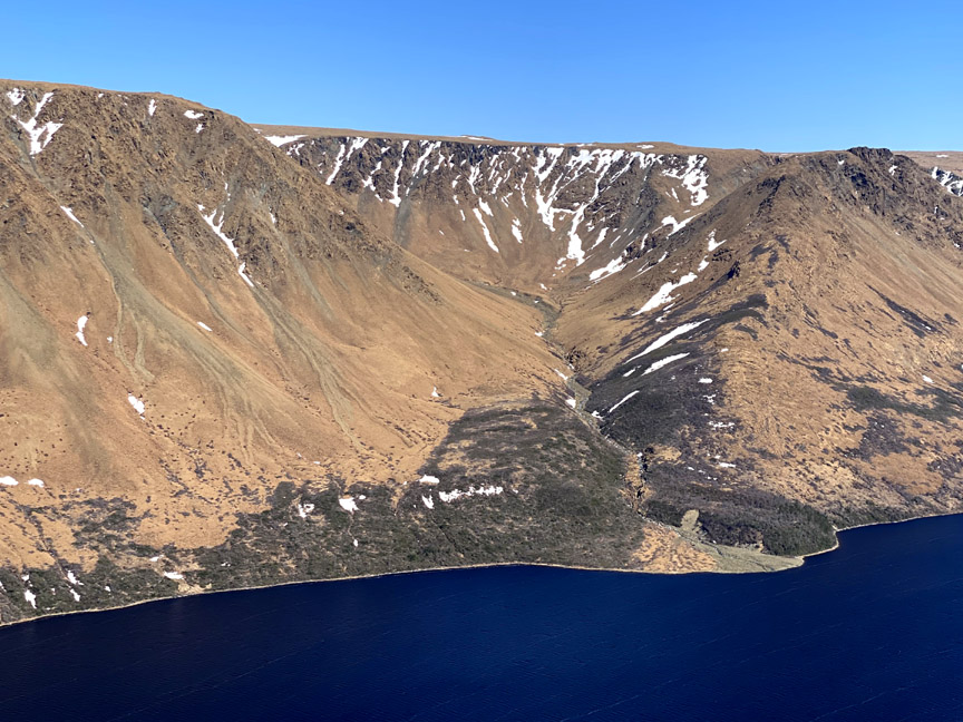
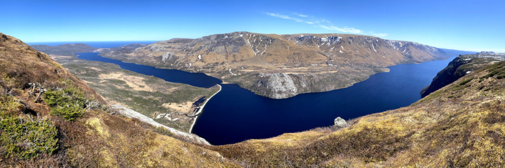
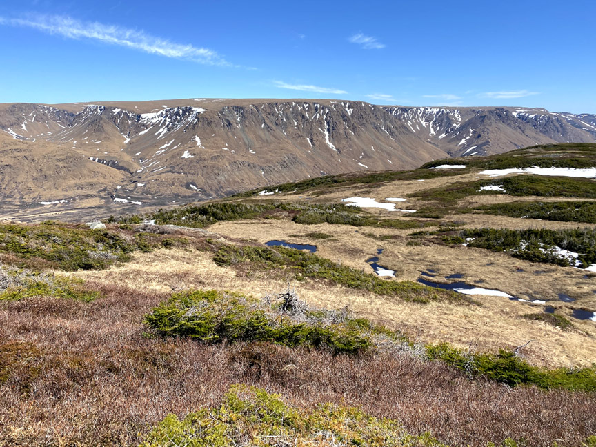
As with the Elephant’s Head, the outcrop provides a 180 degree view from the town of Trout River on the gulf coast to the far end of Trout River Pond.

From that angle, Trout River inner and outer ponds form the letter Z, seemingly filling the Gulf of St. Lawrence in the distance.
After the obligatory selfies to capture the moment,
Paul and Delano head back, determined to return later in the summer to complete a 2-day trek to Goose Arm Road, via the Overfalls waterfalls.