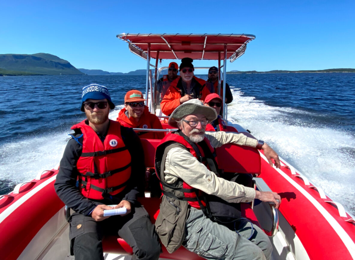
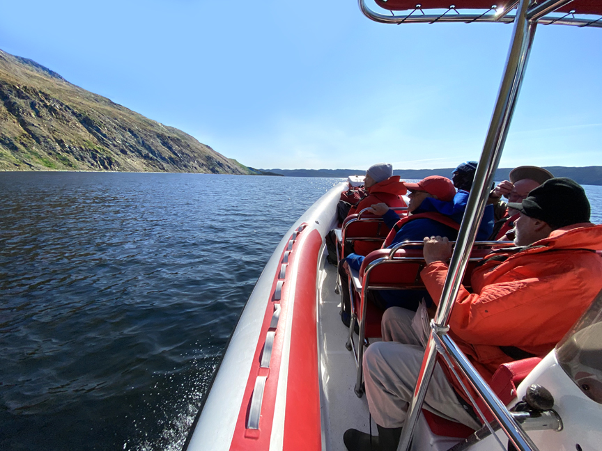
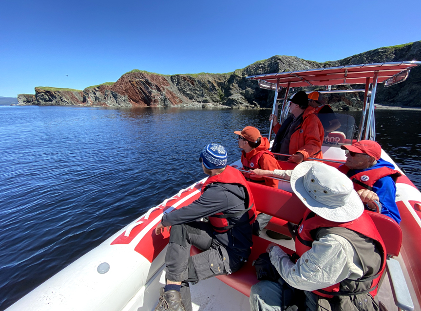
With sunny skies and light wind, August 9 was an ideal day for a zodiac tour of the Bay of Islands to explore and identify geosites for Cabox Aspiring Geopark. In addition to Cabox directors Paul Wylezol, Arne Helgeland and Rob Thomas (who also operated Everoutdoor Adventures’ zodiac Elmastukwek), the tour also included geologists John Waldron (University of Alberta) and Andy Kerr (Memorial University of Newfoundland), and John’s students Martin Schwangler and Jordan Koop, all of whom were in the region helping to identify significant geological features of the proposed UNESCO Global Geopark.
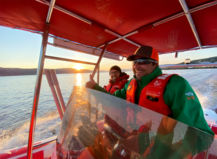
The tour began at sunrise at the Corner Brook marina in Allen’s Cove
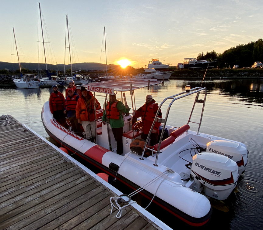
when Everoutdoor partner Rob Thomas took to the controls
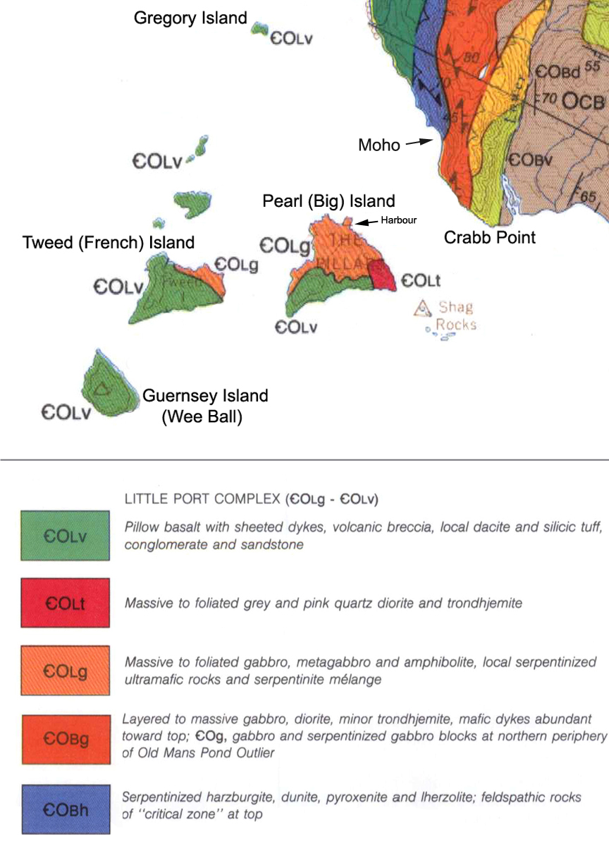
and headed west out Humber Arm to Guernsey Island (aka Wee Ball), the most southerly of the three large igneous islands at the entrance to the bay.
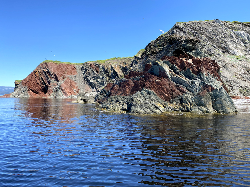
Along the way the group passed Blow Me Down Ophiolite Massif to the south, looming above the community of Benoit’s Cove, with Saltbox Restaurant and Information Center and its ocean-view deck hugging the shoreline below.
The Wee Ball rises to a height of 1,000 feet (326 meters) and is composed primarily of pillow basalt, sheeted dykes and volcanic breccia.
Much of it is composed of sheer cliffs exposed to the prevailing winds of the Gulf of St. Lawrence.
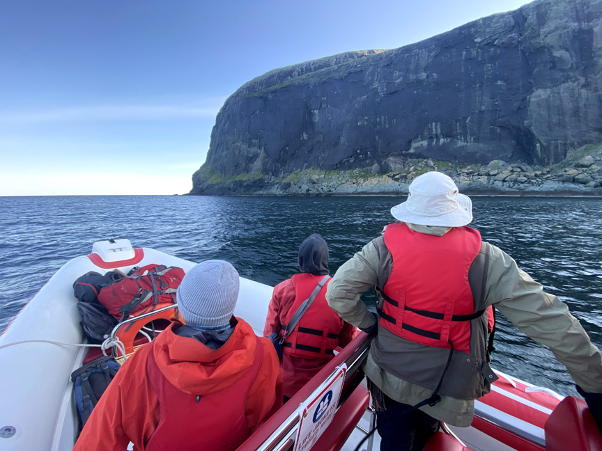
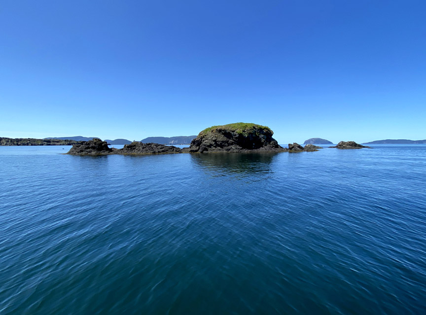
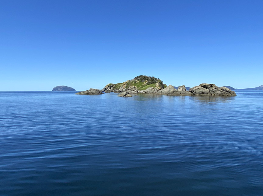
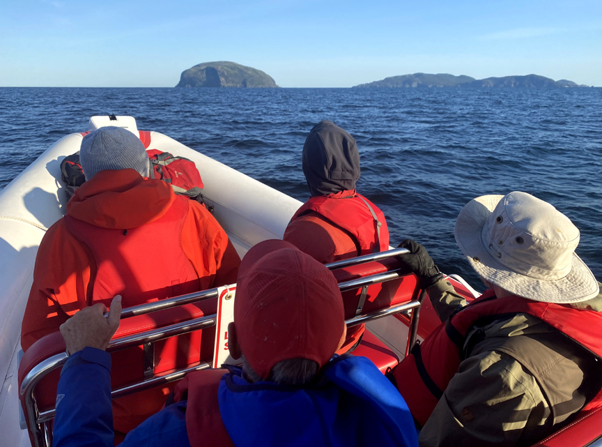
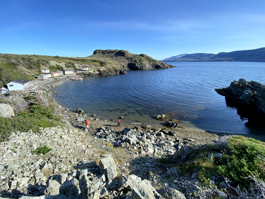
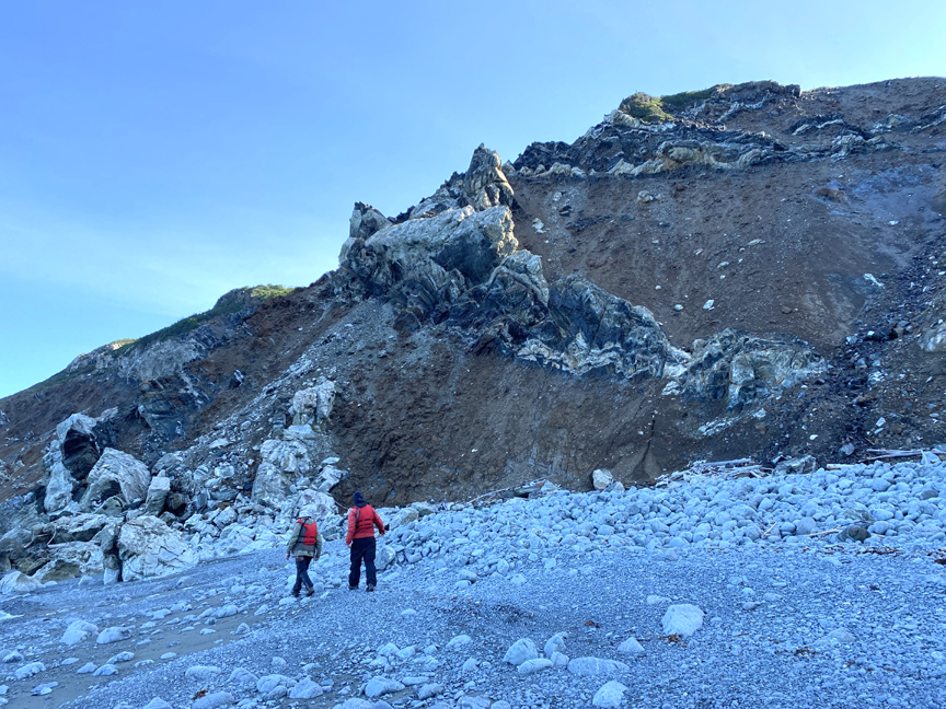
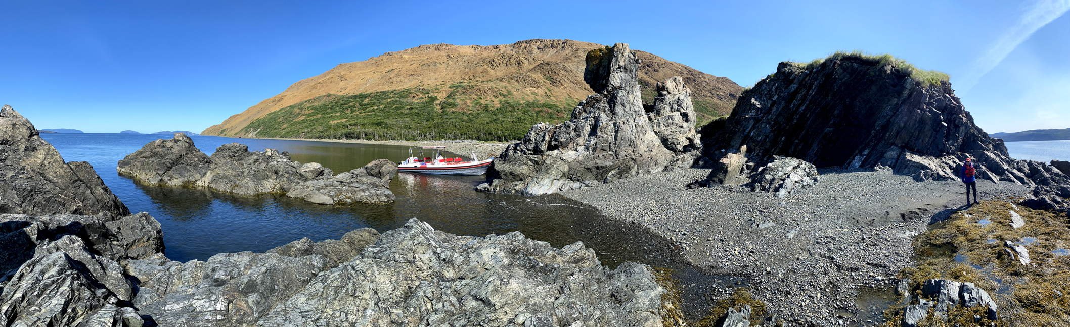
Because of this there are few places to land, and only on the calmest of days. So the group moved on to Pearl (or Big) Island, the biggest of the bay’s islands and the one with the most diverse rock types. The island has a protected harbour on the north side, where local fishermen built cabins to prosecute the fishery.
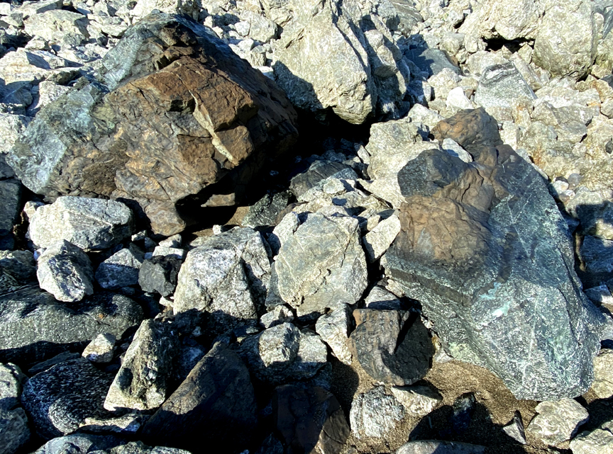
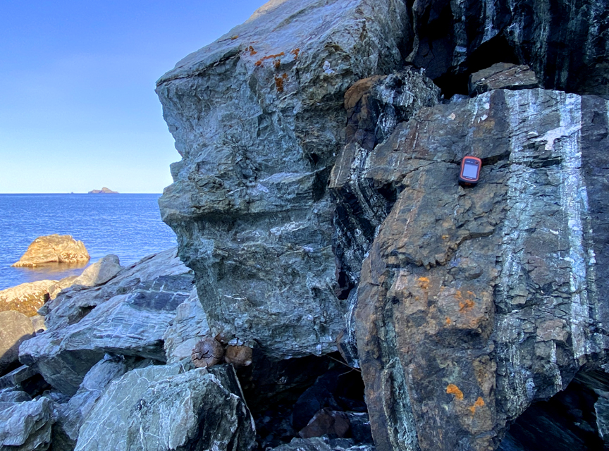
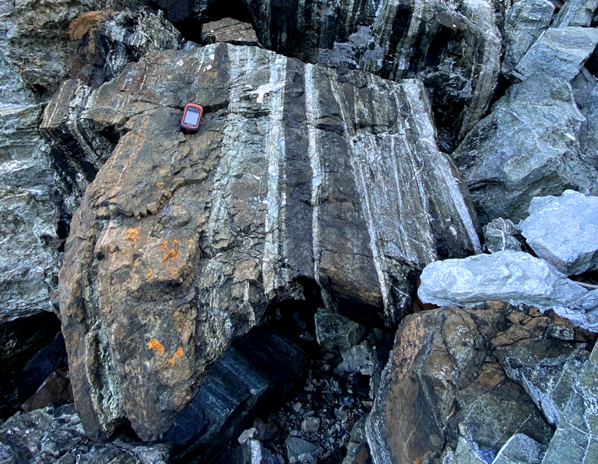
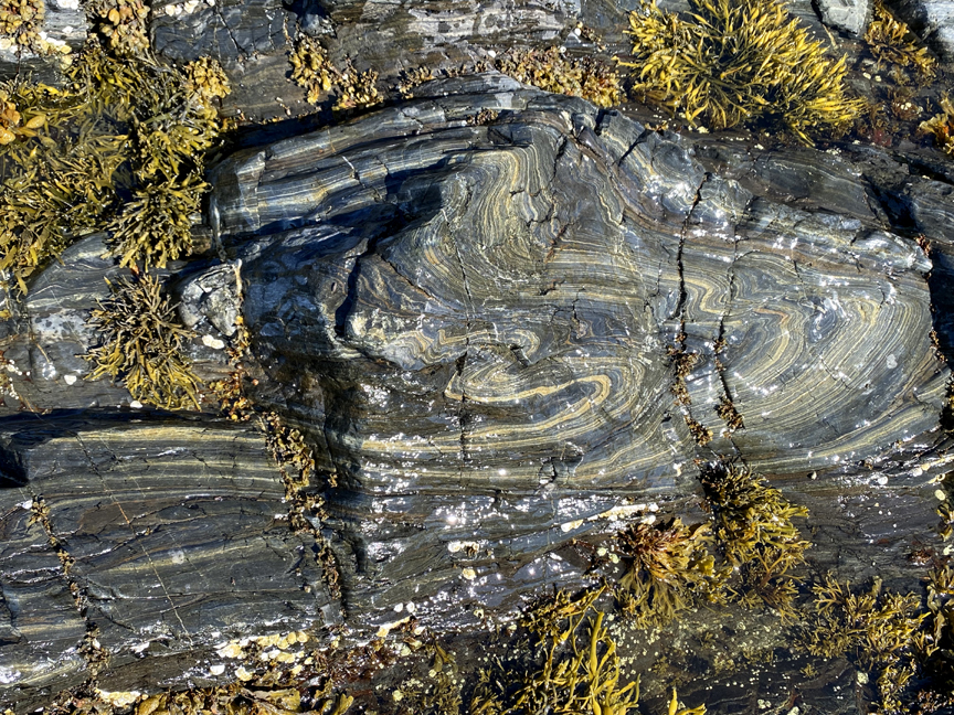
Once ashore it didn’t take long to find interesting rock samples, including layered igneous rocks
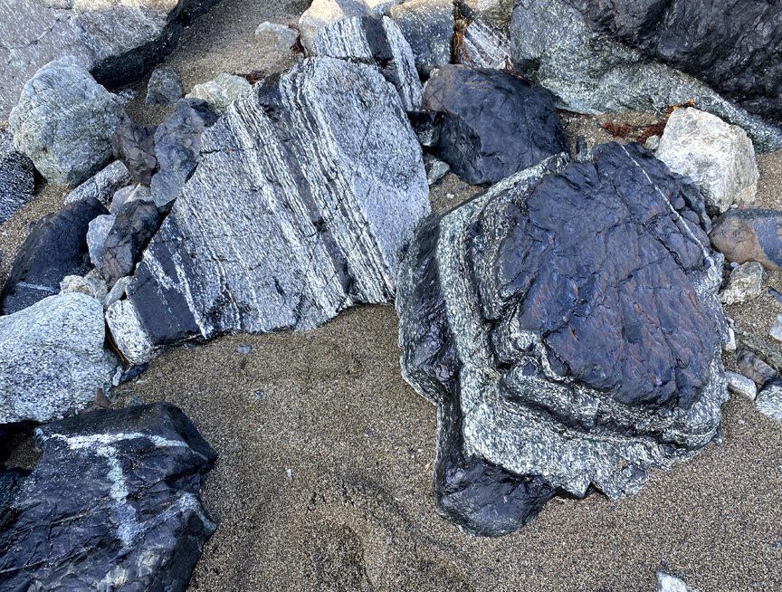
and representatives from the various rocks types found on the island, which is composed primarily of massive to foliated gabbro, quartz diorite and trondhjemite, metagabbro, amphibolite and serpentinized ultramafic rocks, as well as pillow lava, sheeted dykes and volcanic breccia.
South of the harbour is a pleasant sandy beach with a good view of the Gregory Mountains

the next stop on the tour, which provides a unique opportunity to see large sections of the Mohorovičić discontinuity (aka Moho)
in a coastal setting exposed by the elements.
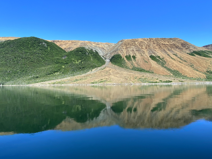
The dunite and harzburgite from the earth’s mantle found on the western slopes of the Gregory Mountains (purple on below map) is an anomaly and not seen again until the tour reaches the North Arm Hills approximately 10 kms to the east.
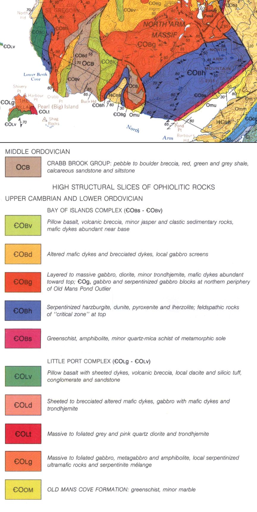
The North Arm Hills/Gregory Mountains are one of four Bay of Islands Ophiolite Massifs, and the only one where the mantle submerges directly into the waters of the Gulf of St Lawrence.
The other three massifs are the Lewis Hills and Blow Me Down Mountains to the south of the Bay of Islands, and Table Mountain (aka Tablelands) to the north in Gros Morne National Park.
At Pond Point, where the bay makes a northeast turn to the more sheltered bottom of the arm, the group stopped to view the best exposure of metamorphic sole (or aureole) that extends along the eastern edge of all four of the BOI Ophiolites.
The metamorphic sole is the thin layer of rock (shown in dark pink on the map above) over which the earth’s mantle was forced to the surface by plate tectonics and emplaced on top of the sedimentary rock at the eastern edge of Laurentia (ie., proto North American).
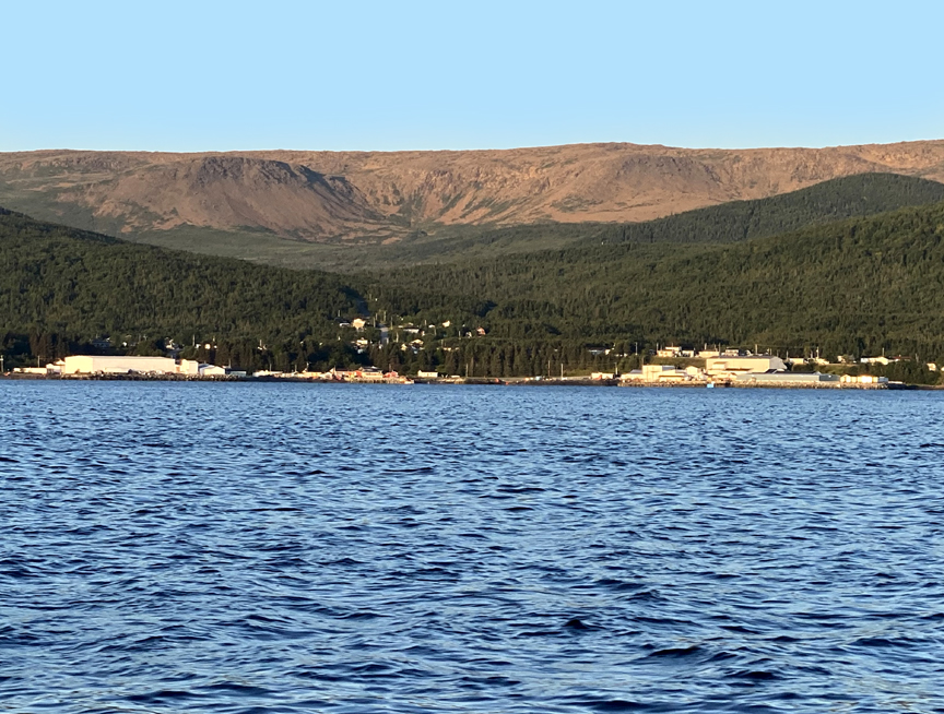
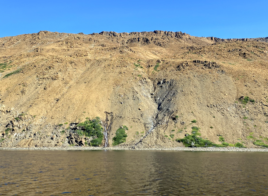
From Pond Point the tour continued into North Arm, where at Shiveree Point an alluvial fan spread out across a mirror-like calmness reflecting blue, green and bronze.
Here and there the shores are dotted with little cabins owned by local lobster fishermen
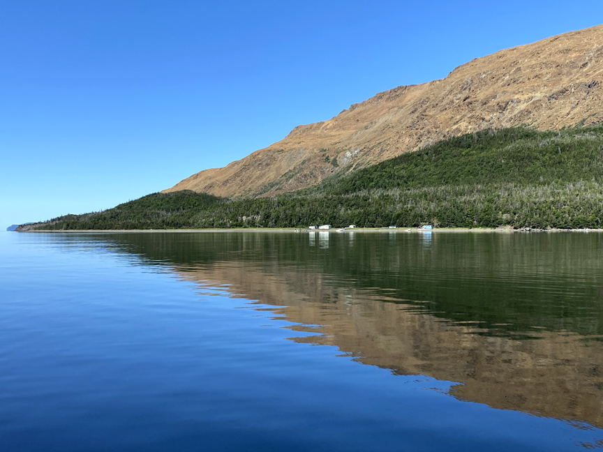
with one two-storey house at Stowbridges Cove restored by the International Appalachian Trail Newfoundland & Labrador (IATNL) and operated as a hiking basecamp for treks across the North Arm Hills to/from Trout River.

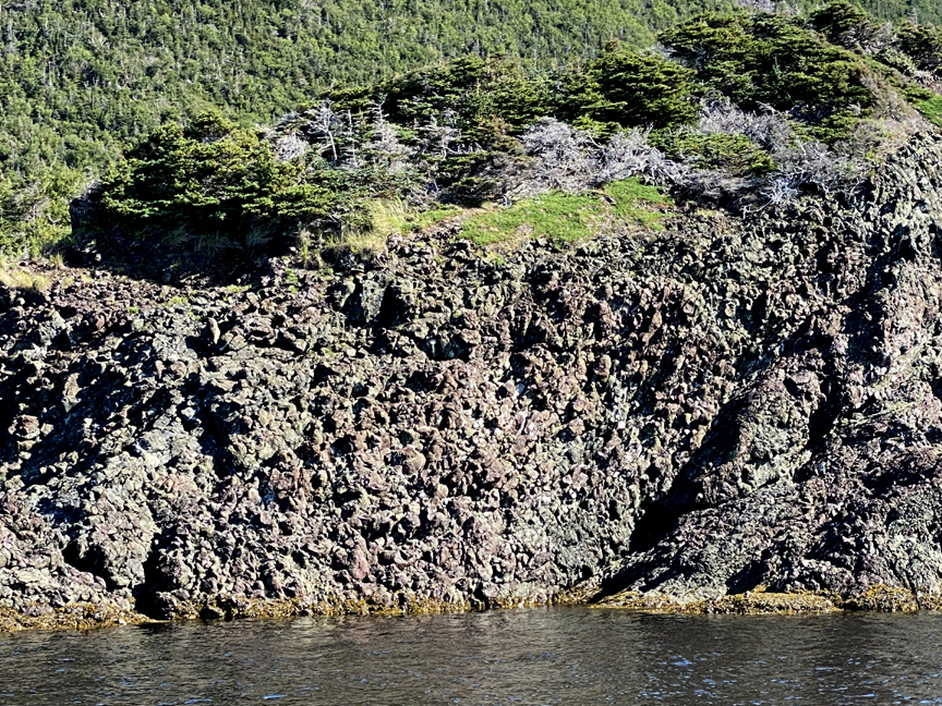
The pillow lava at Stowbridges is among the best examples in the bay
but steering south across North Arm, igneous rocks soon gave way to the sedimentary rocks of North Arm Point and Eagle Island.
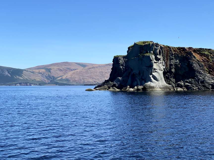
The island is composed of both gray limestone from the Cook’s Brook and Middle Arm Point Formations of the Cow Head Group and red sandstones of the Eagle Island Formation, part of the Western Brook Pond Group.
Before heading back to the marina, the tour made one final detour to check out some of the small islets at the western end of Woods Island
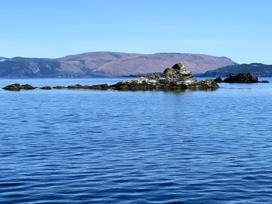
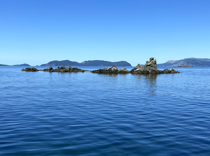
which are formed primarily of sandstones, conglomerates, volcanic breccia and pillow lava of the Blow Me Down Brook Formation and equivalents.