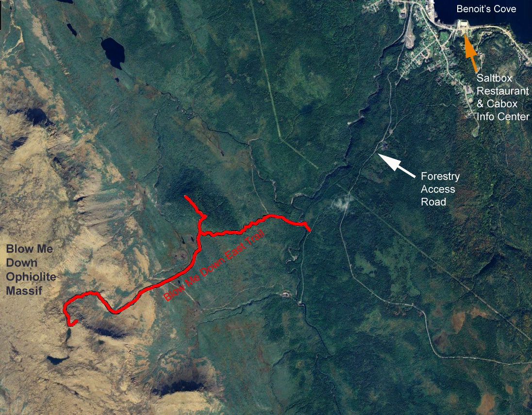
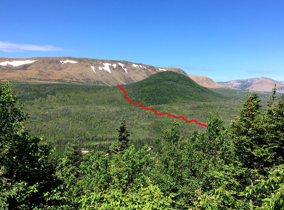
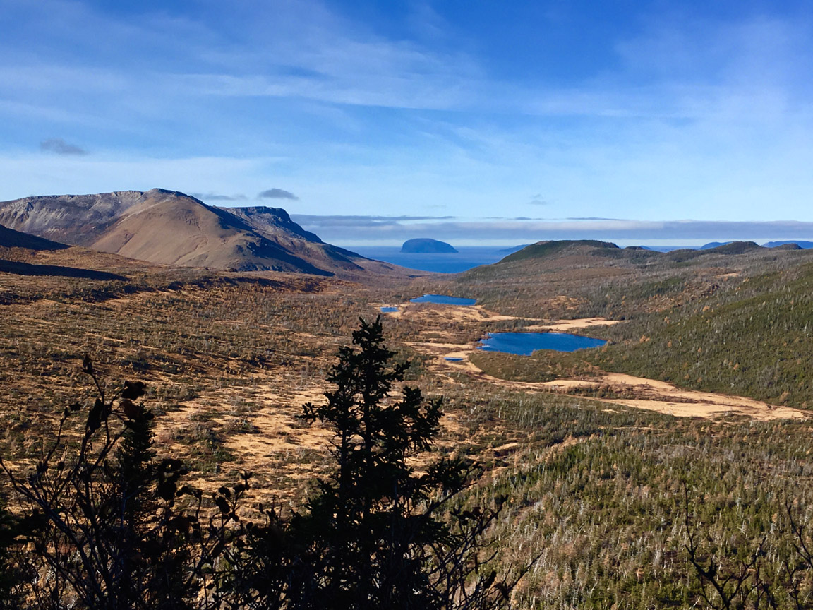
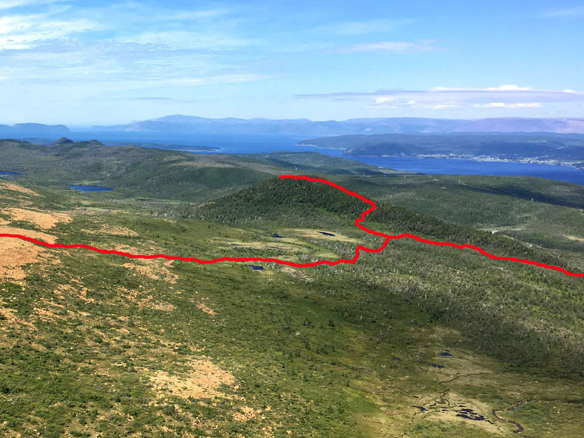
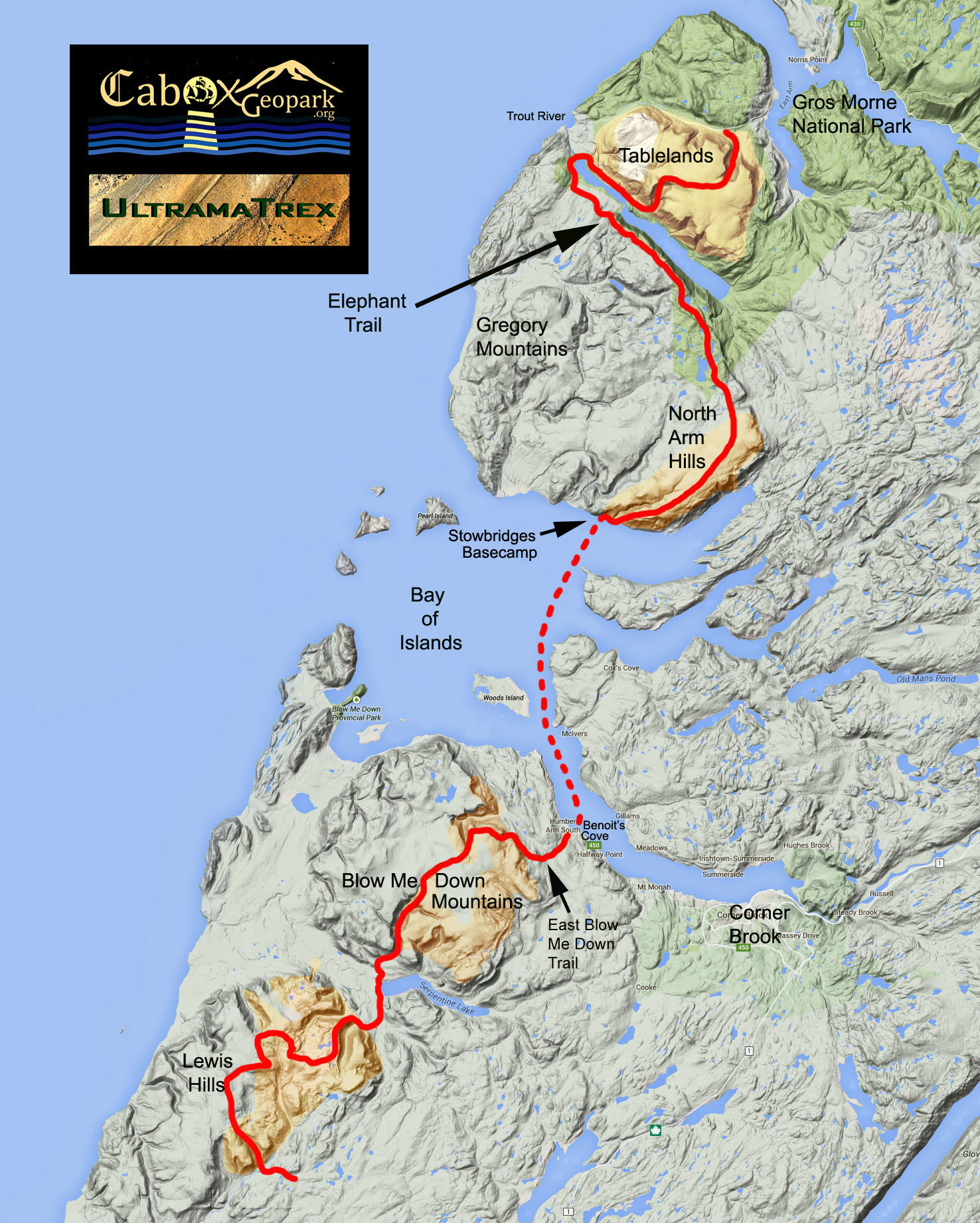
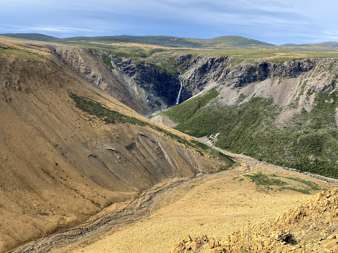
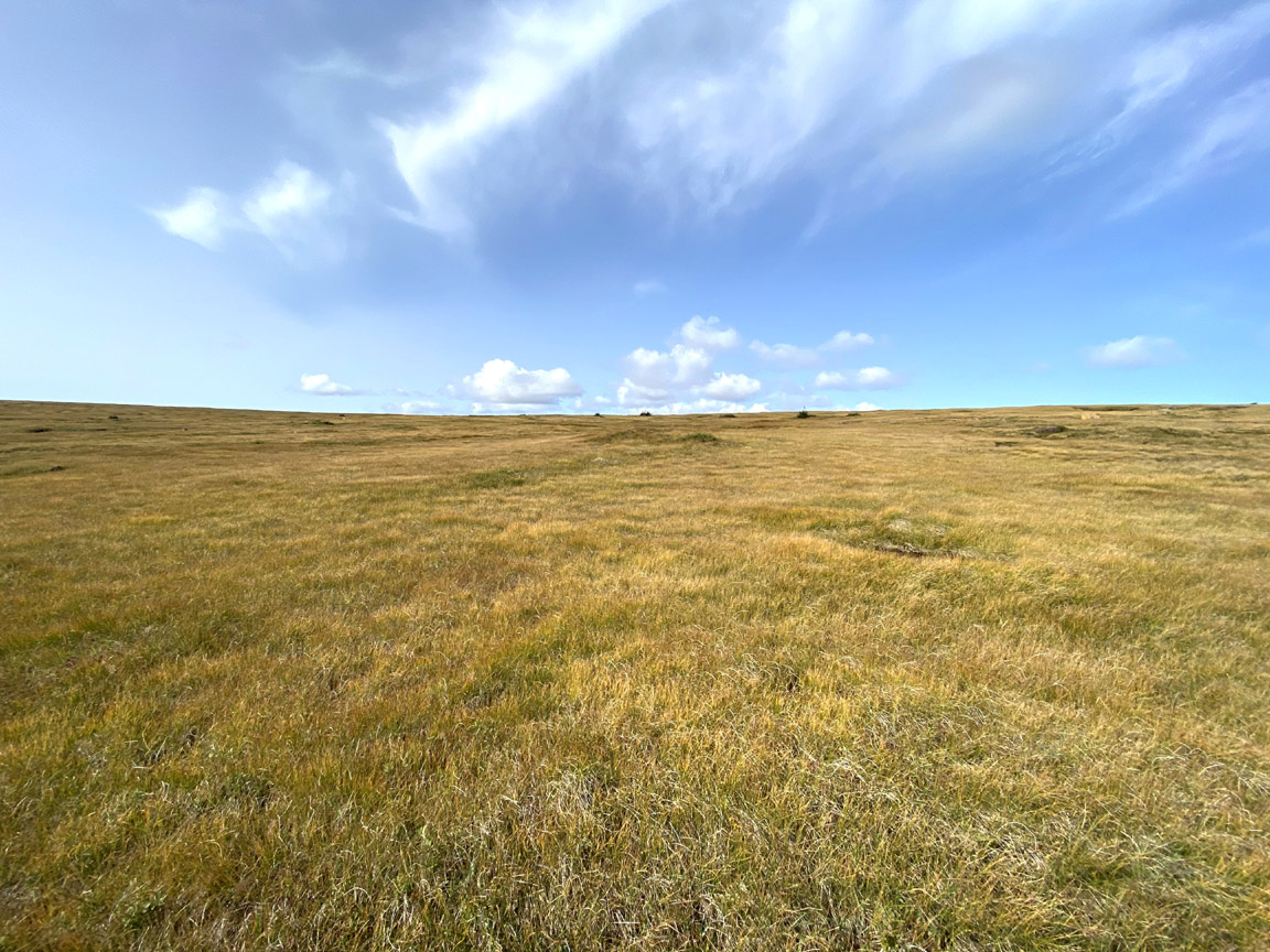
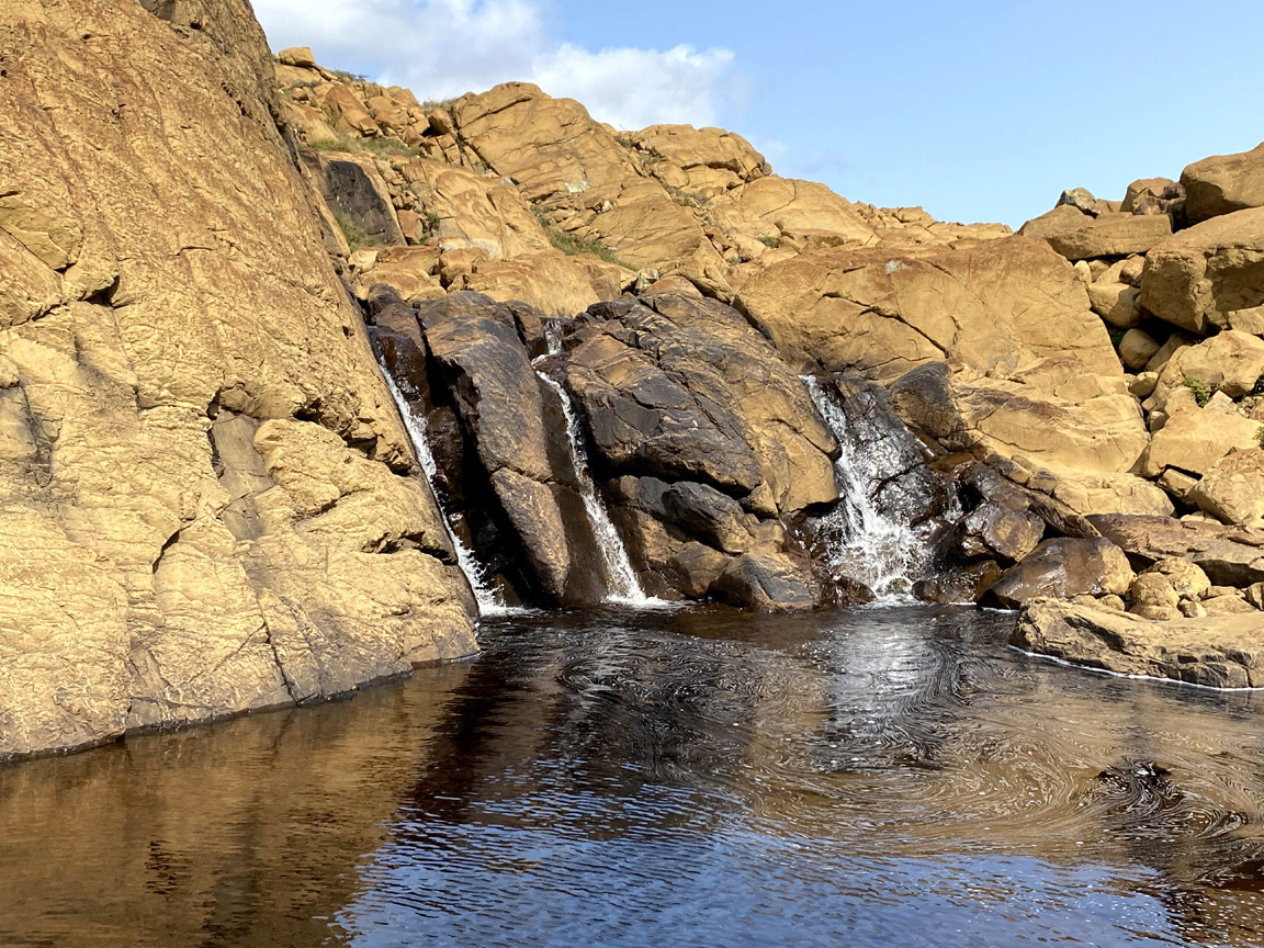
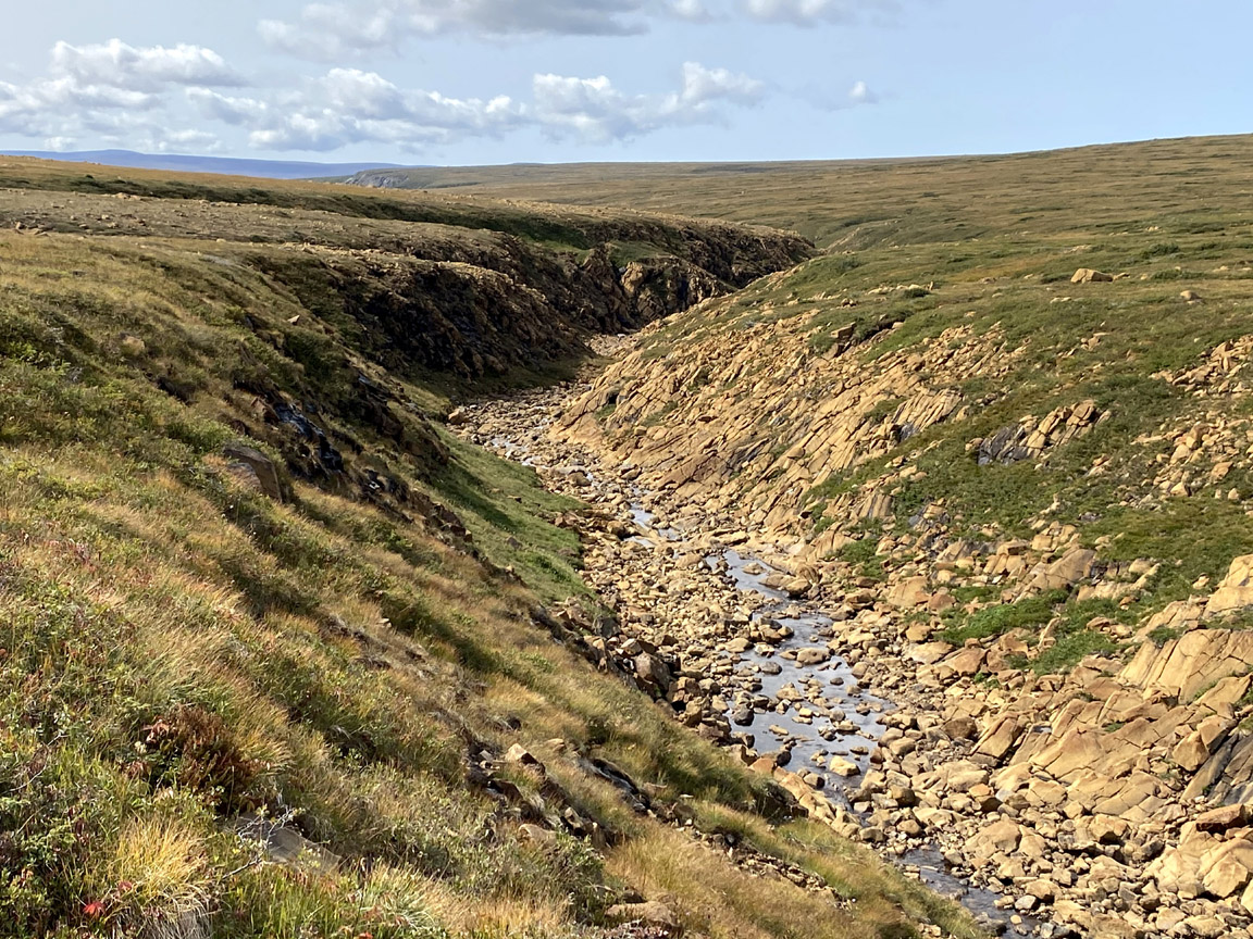
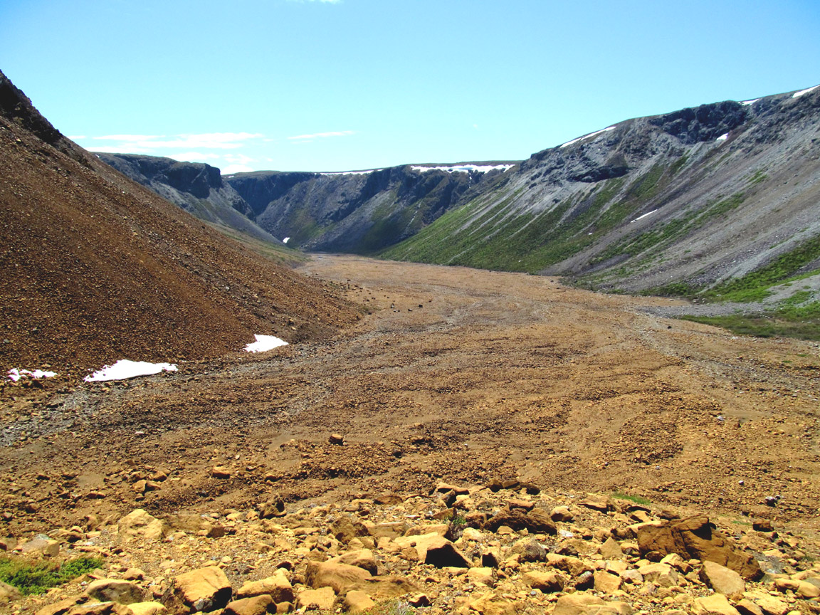
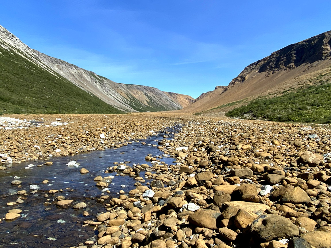
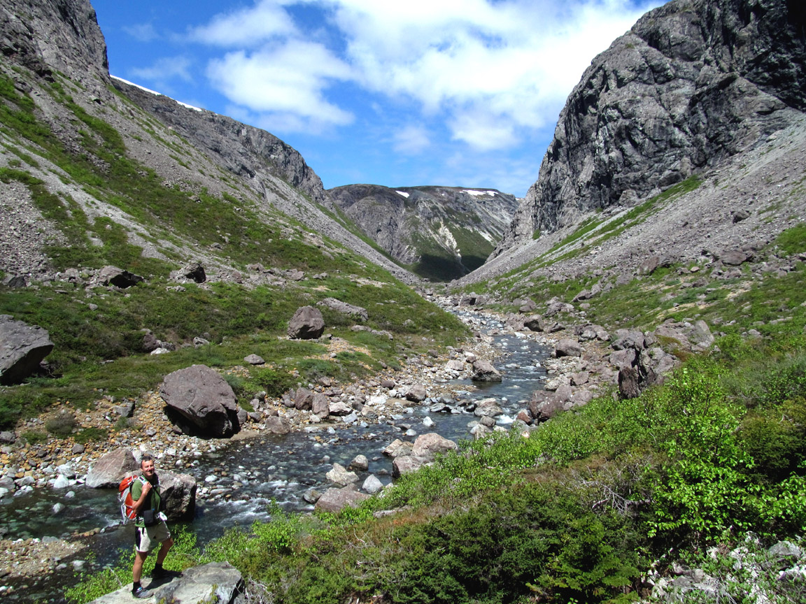
The mission of Cabox Geopark is to preserve, promote and maximize the value
of the geological, ecological, and cultural heritage
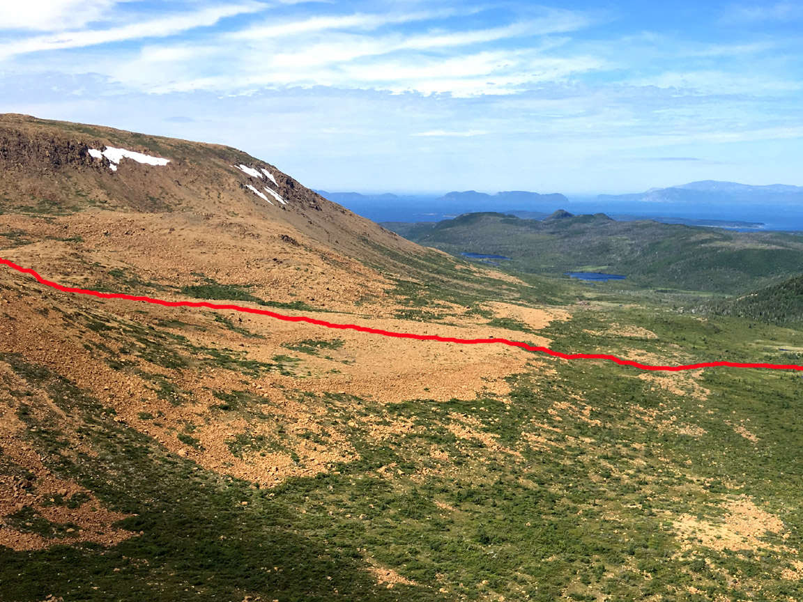
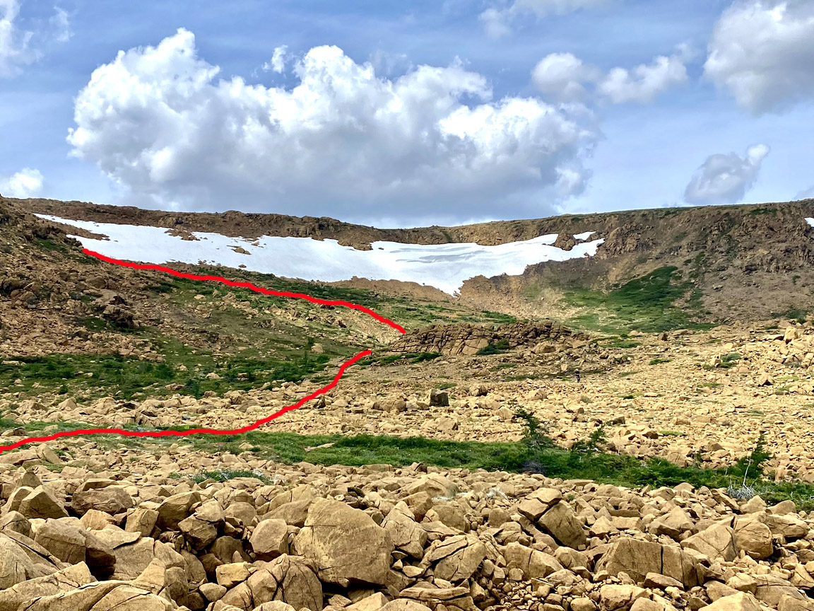
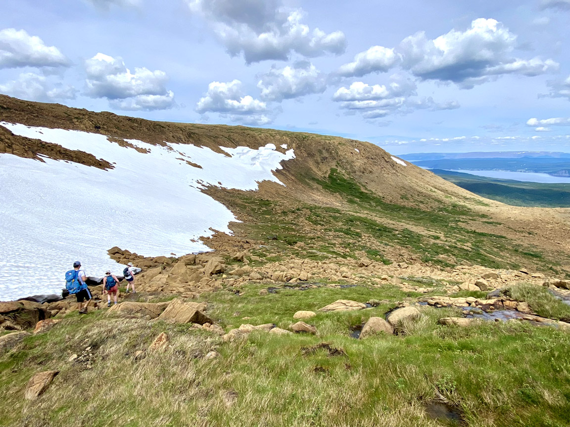
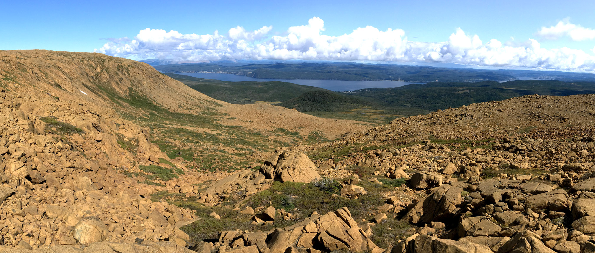
of the Lower Humber Valley and Bay of Islands region of Western Newfoundland
while developing sustainable recreation and education infrastructure
for the benefit of both residents and visitors.