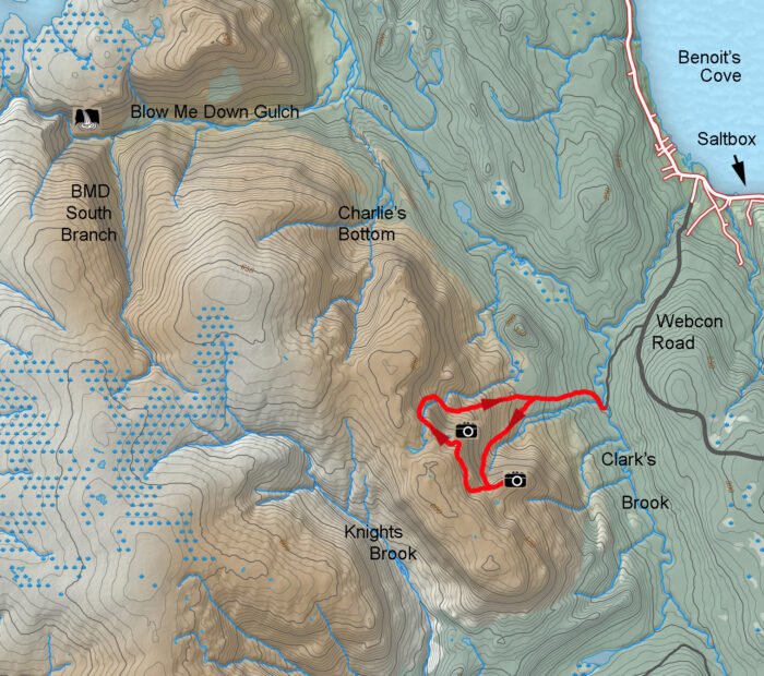
BMDE Trek 1A
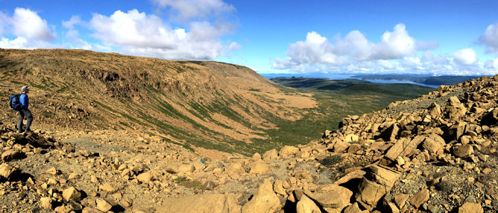
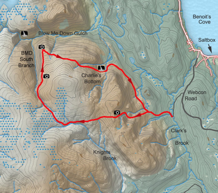
BMDE Trek 1A is a 3-4 hour 11km hike up one scenic gully at the eastern end of the Blow Me Down Mountains, across the top of the mountains, then down an adjacent gully. More information
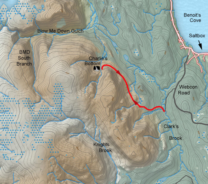
BMDE Trek 1B
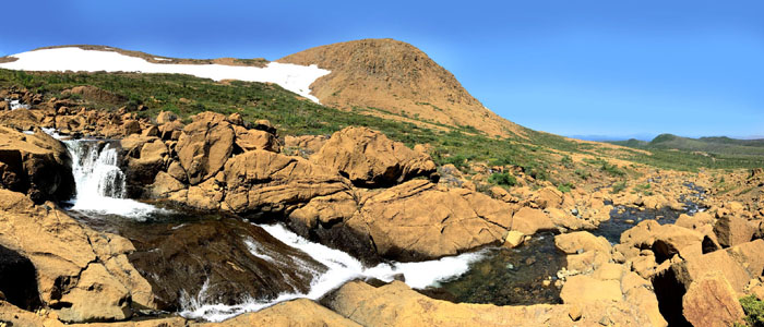
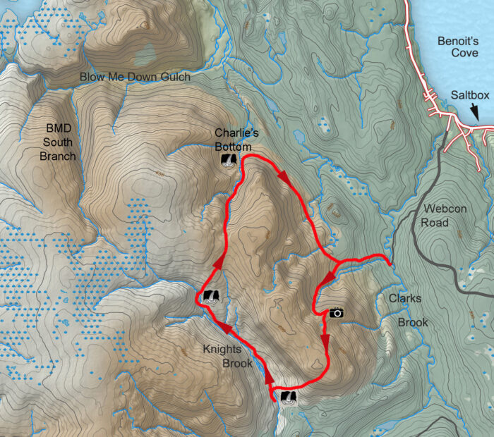
BMDE Trek 1B is a 3-4 hour 13.5km hike across the base of the Blow Me Down Mountains to a waterfall cascade at Charlie’s Bottom, a broad valley at the eastern end of the mountains. More information
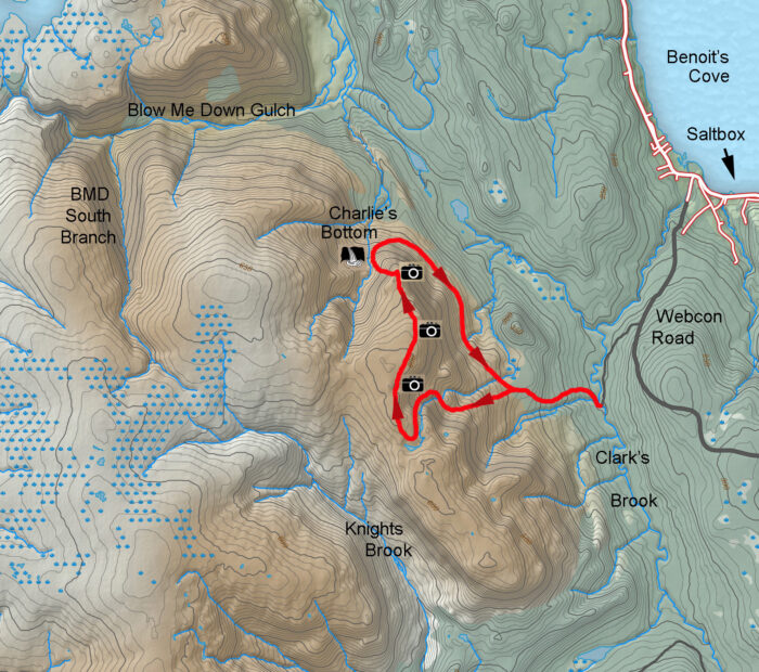
BMDE Trek 1C
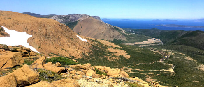
BMDE Trek 1C is a 4-5 hour 15.5km hike up a scenic gully at the eastern end of the Blow Me Down Mountains, then across the eastern rim to a scenic viewpoint of mountains and bay, before descending to the waterfalls cascade at the base of Charlie’s Bottom and returning via the base of the mountains. More information
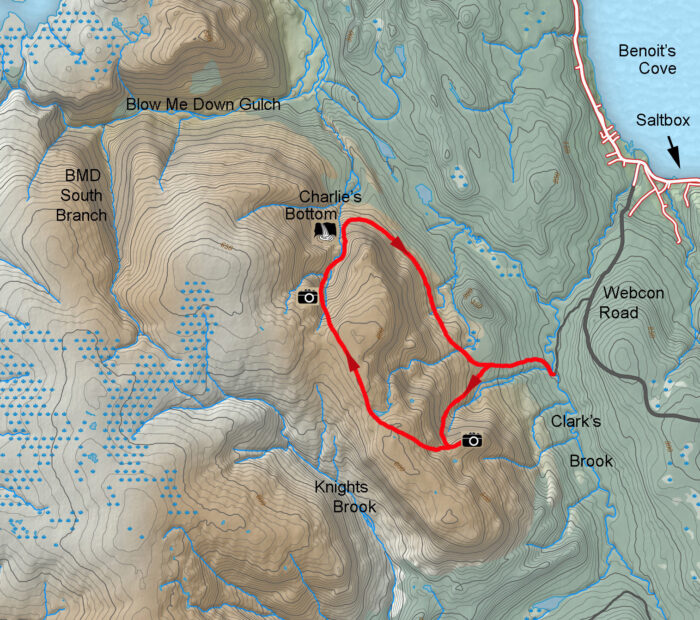
BMDE Trek 1D
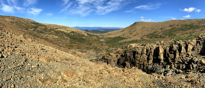
BMDE Trek 1D is a 4-5 hour 15.5km hike up a scenic gully at the eastern end of the Blow Me Down Mountains, then across the top of the mountains to the back end of Charlie’s Bottom, before descending the valley to a waterfalls cascade and returning via the base of the BMDMs. More information
BMDE Trek 2A
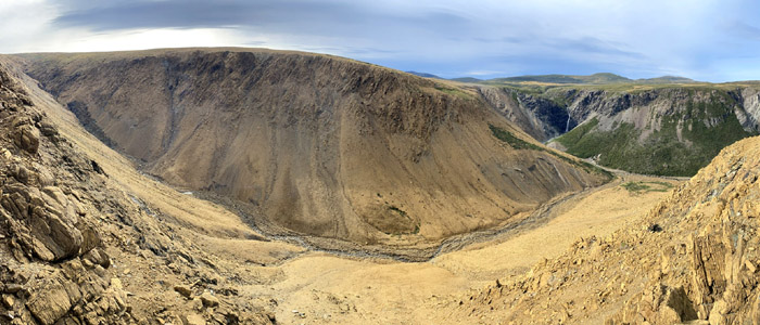
BMDE Trek 2A is a 7-9 hour hike up a scenic gully at the eastern end of the Blow Me Down Mountains, then across the top of the mountains to the headwaters of Knights Brook, before crossing overland to the back end of Blow Me Down Gulch’s South Branch. From there the trek follows the east flank of the South Branch to a scenic viewpoint of Blow Me Down Gulch and Waterfalls, before crossing overland and descending Charlie’s Bottom to a waterfalls cascade, then returning via the base of the BMDMs. More information
BMDE Trek 2B
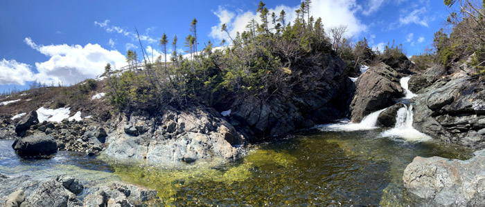
BMDE Trek 2B is a 7-9 hour hike up a scenic gully at the eastern end of the Blow Me Down Mountains, then over the top of the eastern flank of the mountains to Knights Gulch, before descending to a series of waterfalls at the big bend in Knights Brook. From there the trek follows the banks of the brook for 3 kilometers to another series of waterfalls, before crossing overland to descend Charlie’s Bottom to a cascading waterfalls and returning via the base of the BMDMs. More information


