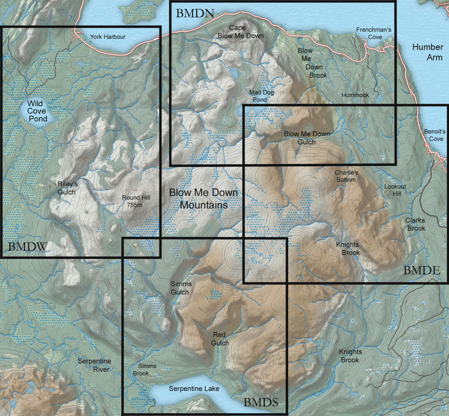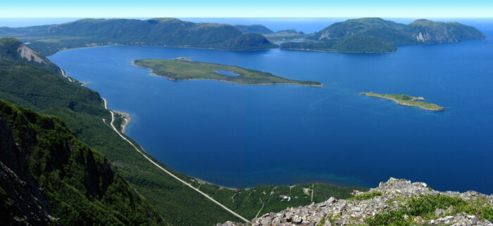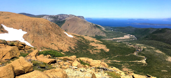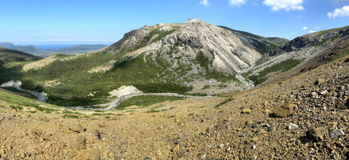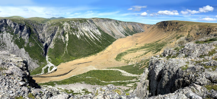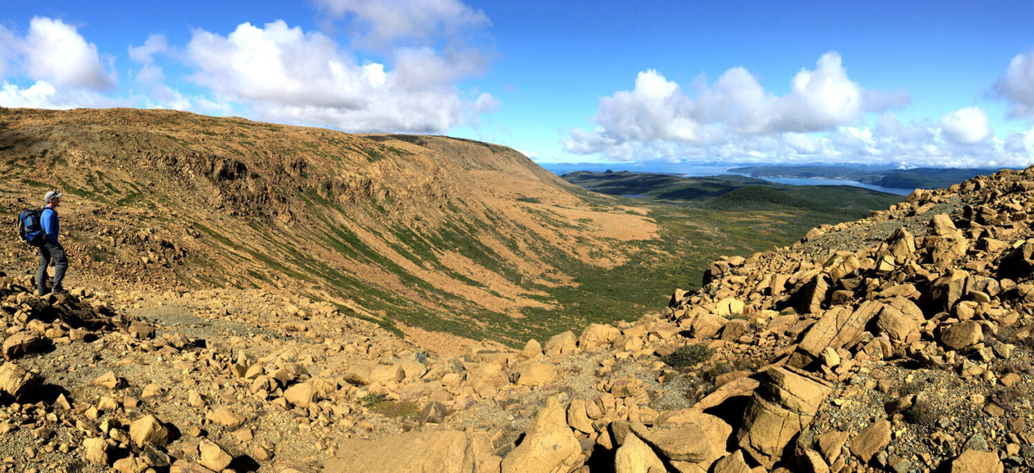
Like the other three Bay of Islands Ophiolite Massifs, the Blow Me Down Mountains are a 100+ square kilometer chunk of earth’s mantle and crust that was forced to the surface by plate tectonics during the closing of the Iapetus Ocean, then sculpted by erosion and glaciers over the past 450 million years.
The igneous and metamorphic rock (primarily rust-colored peridotite and gray gabbro) rises to a height of over 700 meters where it forms a barren plateau of mixed grasslands, shallow wetlands and serpentine barrens. This extraordinary landscape provides numerous opportunities for off-trail exploration and spectacular viewing, in the north, south, east and west. Below are links to some of our favorite half-day and full-day treks, both moderate and challenging.
