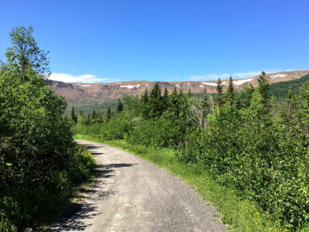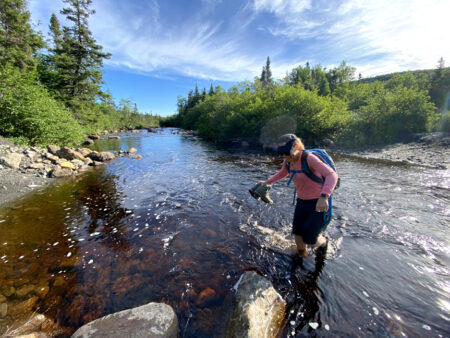
BMDE Trek 1A is a 3-4 hour 11km hike that begins 4kms into Webcon logging road where it intersects with the gated Benoit’s Cove water supply road. After a 1.5km walk down the road, hikers must cross shin-to-knee-deep Clark’s Brook (ideally wearing aqua slippers) then hike 1.2kms up a gravel excavator track
before turning off onto a not-so-wet wetland at the base of the Blow Me Down Mountains.
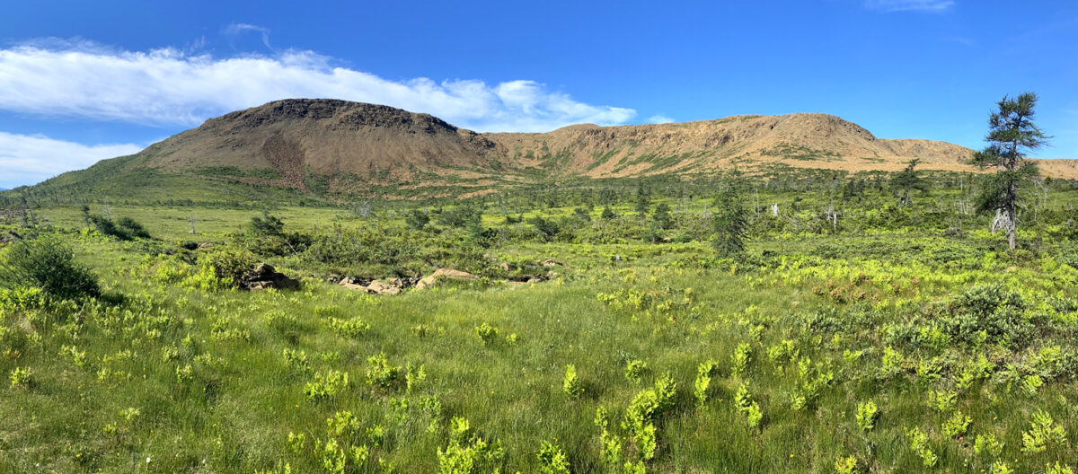
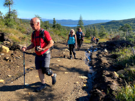
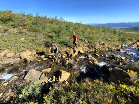
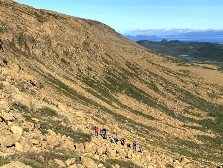
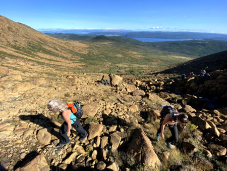
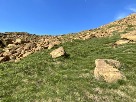
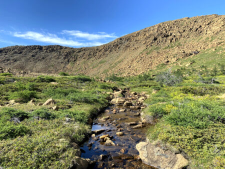
After crossing the grass and shrubs, hikers climb 230 meters up a rocky gully to the top of a headland plateau, occasionally crossing a crystal-clear stream that in late spring and early summer is composed largely of meltwater from winter’s snowpack.
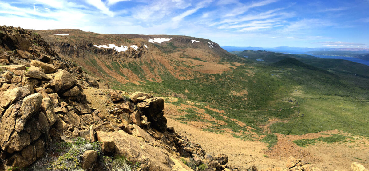
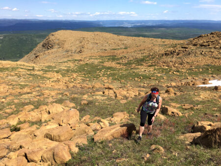
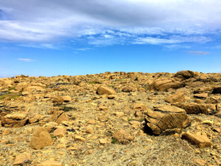
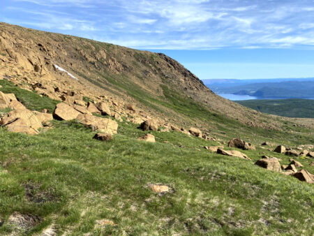
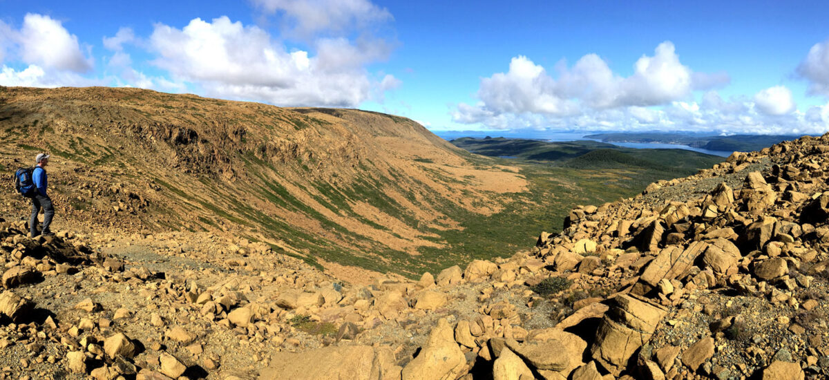
The spectacular view from here – including the eastern slopes of the Blow Me Down Mountains, Humber Arm and Outer Bay of Islands – is reason enough to stop for a little break before continuing on up another 80 meters (to a height of 570 meters) across a Martian-like peridotite landscape for a distance of one kilometer to a series of small mountaintop ponds.
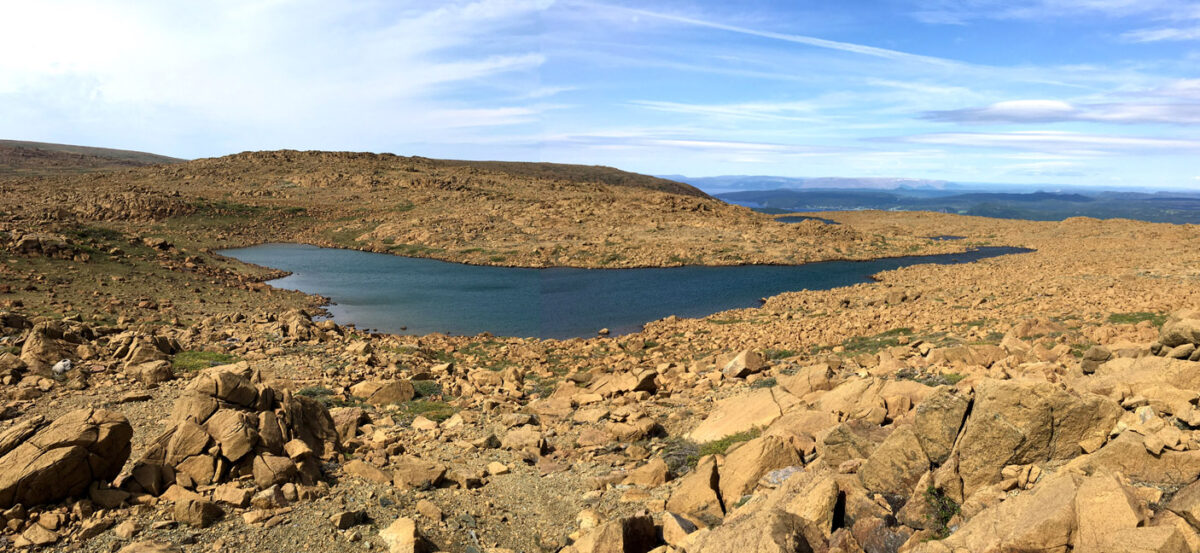
From here hikers follow another pristine crystal-clear stream down another rocky gully, admiring the terrific view while connecting the grassy leads, before linking up again with the excavator track across the base of the mountain and retracing their steps back across Clark’s Brook.
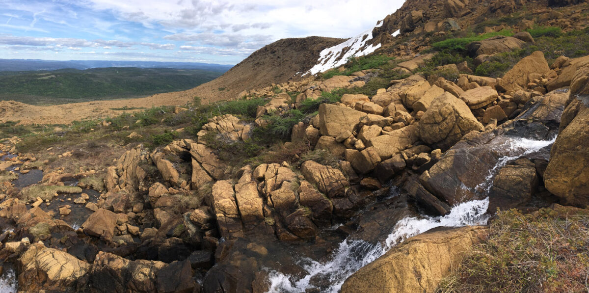
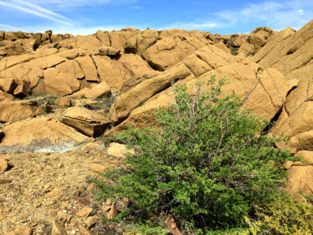
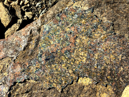
As beautiful as the views are along this barren mountain trek, be sure to look down from time to time, not only to watch your step, but to admire the smaller details, such as rocks, flowers, and camouflaged butterflies!
Map and GPS Track of the BMDE Trek 1A

