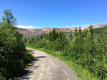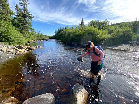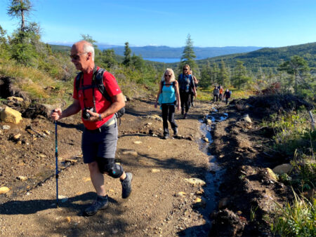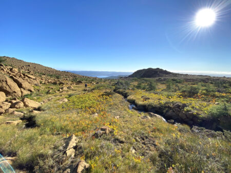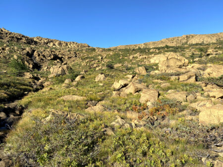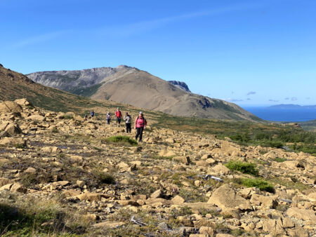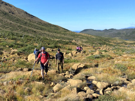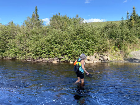
BMDE Trek 1C is a 4-5 hour 15.5km hike that begins 4kms into Webcon logging road where it intersects with the gated Benoit’s Cove water supply road. After a 1.5km walk down the road, hikers must cross shin-to-knee-deep Clark’s Brook (ideally wearing aqua slippers) then hike 1.6kms up a gravel excavator track
before turning off and gradually climbing up through gully #2.
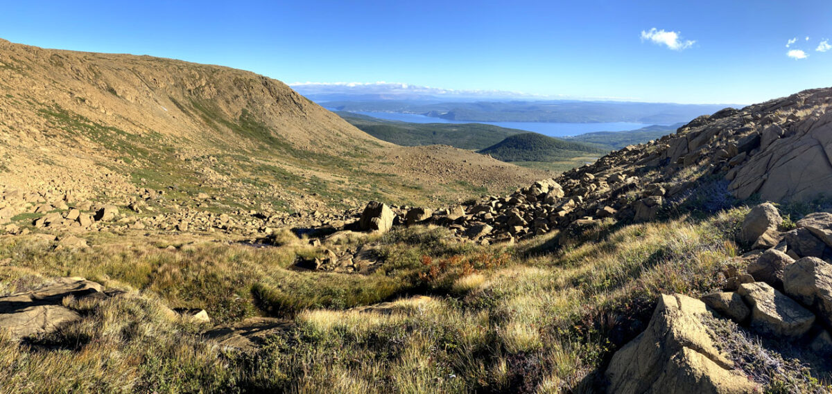
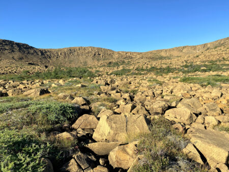
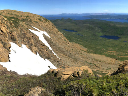
Once on top at an elevation of 570 meters, hikers walk around a couple of small ponds
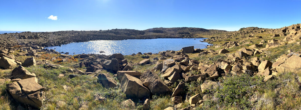
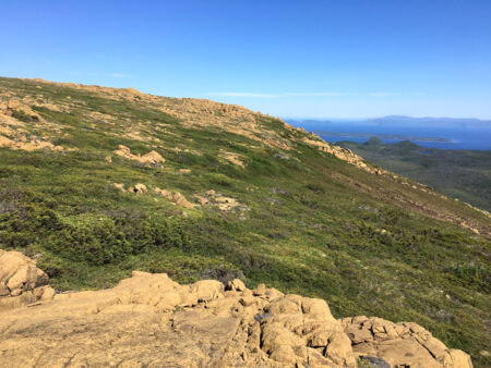
before turning north and following the outer edge of the mountains for 3kms
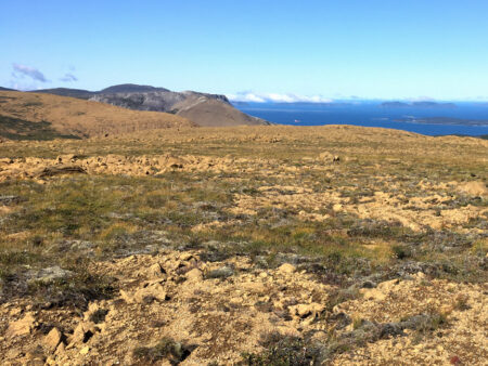
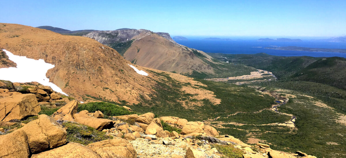
to a dramatic headland overlooking Charlie’s Bottom, Blow Me Down Brook Gulch at the Sands, mouth of Humber Arm, and the outer Bay of Islands.
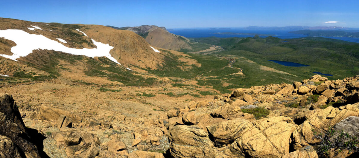
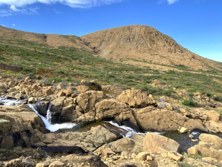
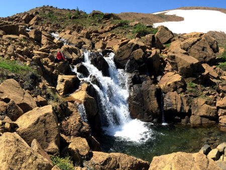
From there hikers descend the eastern flank of Charlie’s Bottom to a cascading series of crystal-clear waterfalls
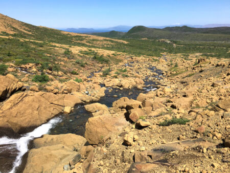
before turning east and returning to Clark’s Brook and Webcon Road via the base of the mountains.

