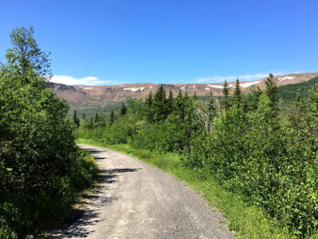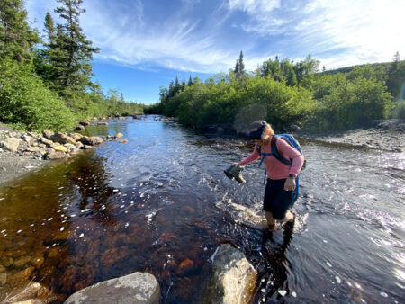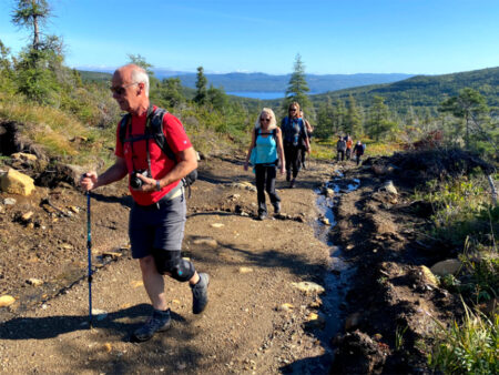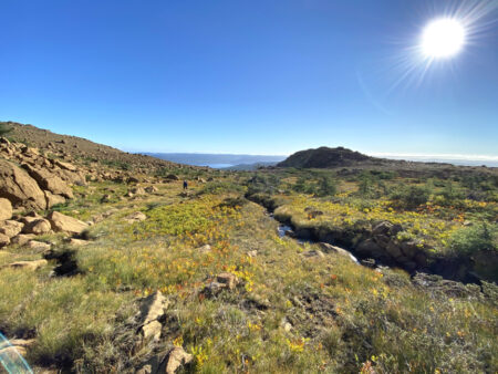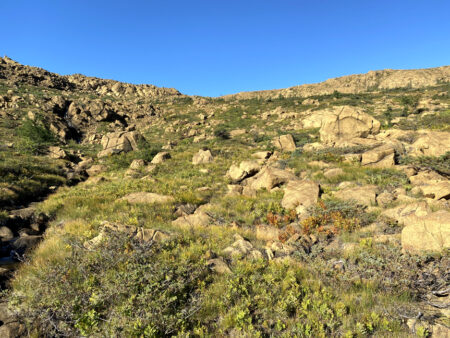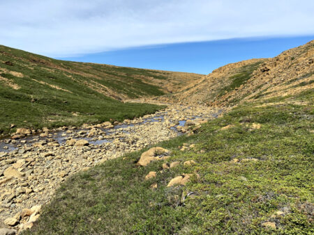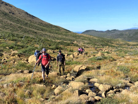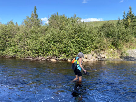
BMDE Trek 2A is a 7-9 hour 22km hike that begins 4kms into Webcon logging road where it intersects with the gated Benoit’s Cove water supply road. After a 1.5km walk down the road, hikers must cross shin-to-knee-deep Clark’s Brook (ideally wearing aqua slippers) then hike 1.6kms up a gravel excavator track
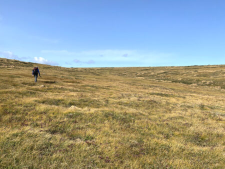
before turning off and gradually climbing up through gully #2.
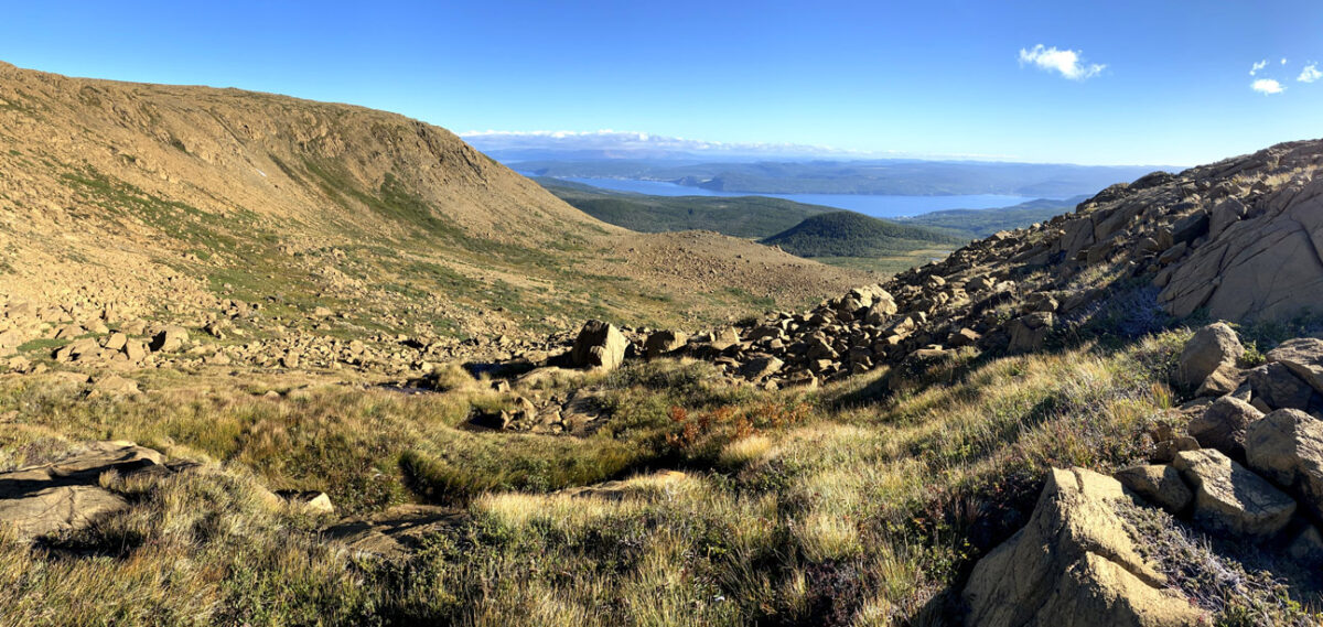
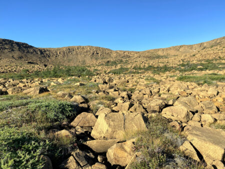
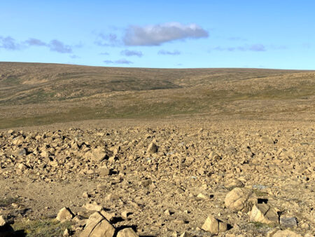
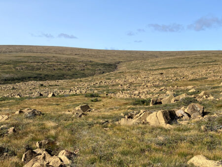
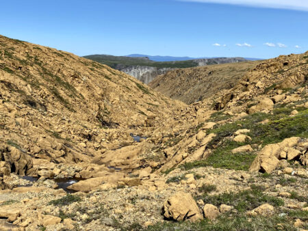
Once on top at an elevation of 570 meters, hikers continue east for 1.5kms, then descend into the back end of Knights Brook Valley

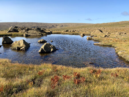
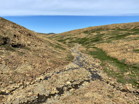
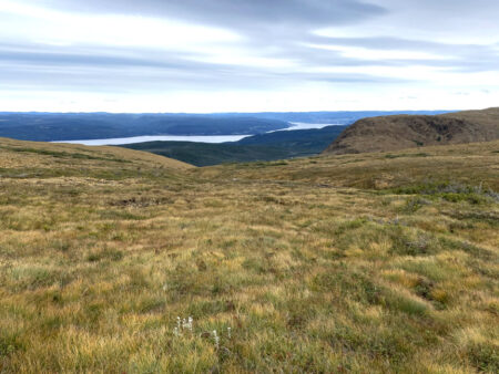
and follow the brook upstream for half kilometer before turning north and crossing the high country into the headwaters of Blow Me Down Brook’s South Branch.
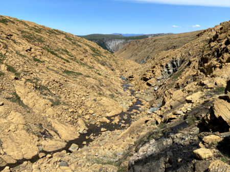
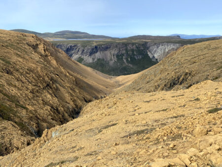
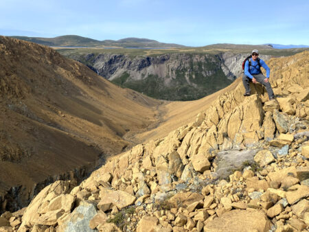
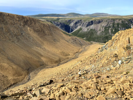
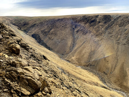
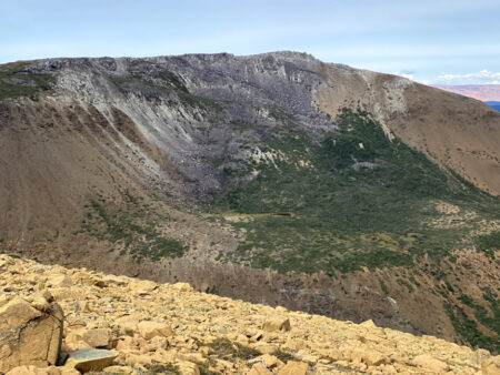
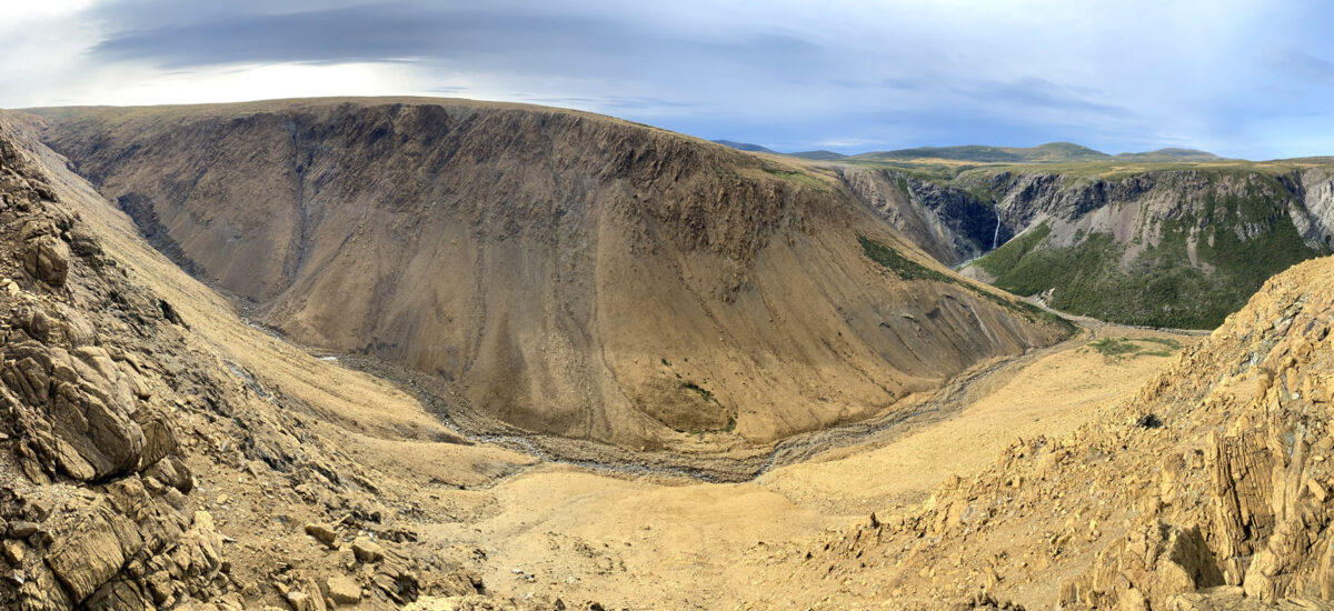
A half kilometer downstream walk along the brook transitions into a hillside trek along the east flank of the continually deepening glacier-carved gulch.
After a 3km scenic walk with several good viewpoints
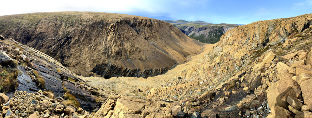
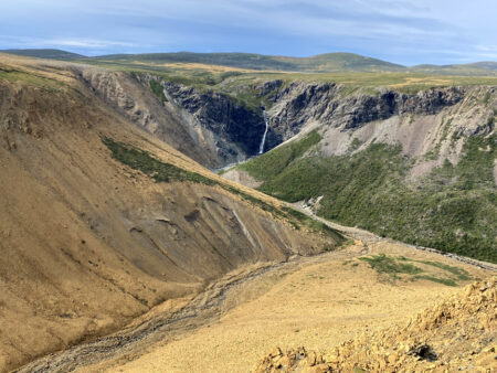
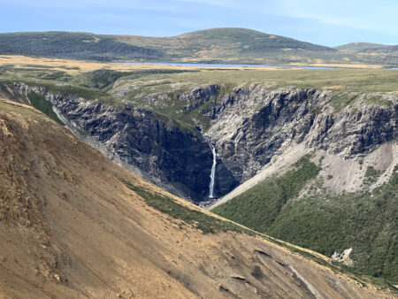
hikers come to the northeast vantage point with a spectacular view of 80m Blow Me Down Brook Falls.
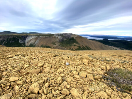
at this point it’s time to turn east and follow along the south rim of the outer Blow Me Down Gulch, before crossing the top of the mountain and descending into Charlie’s Bottom.
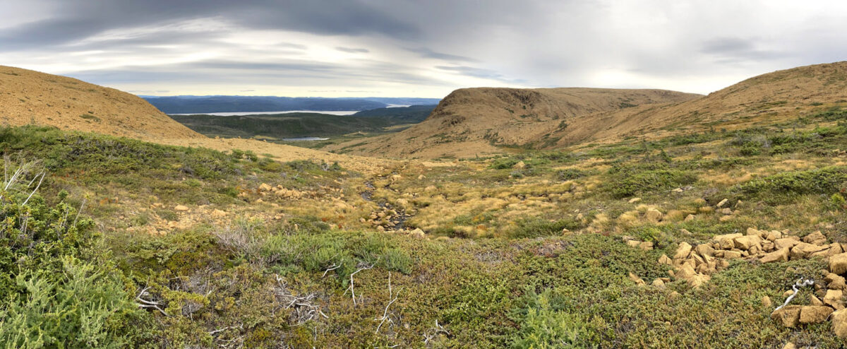
Near the bottom of the gulch is a picturesque waterfalls cascade which makes a pleasant spot for a refreshing dip on a warm summer evening.
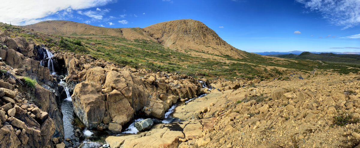
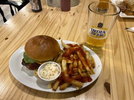
From here’s it’s a 1.5hr 6km walk back to Clarks Brook and Webcon Road via the base of the Blow Me Down Mountains. Then only a 5-minute drive to Saltbox Restaurant and Geopark Information Center for a well-deserved ice-cold beer and Blow Me Down Burger and fries!

