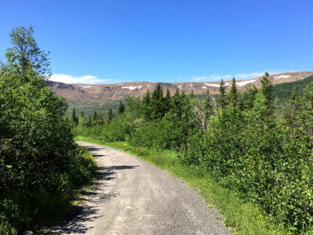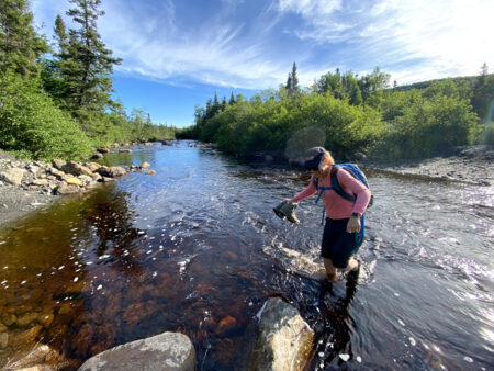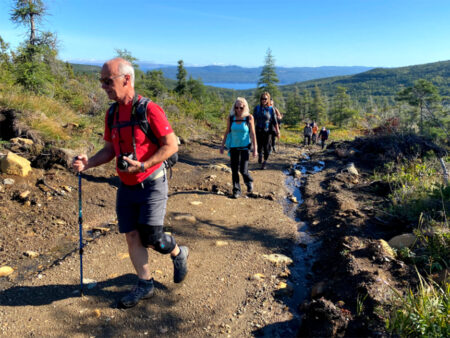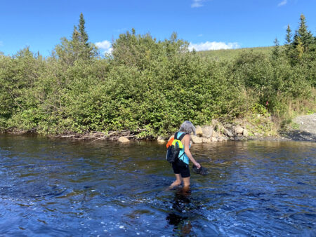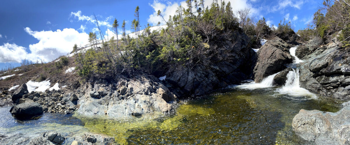
BMDE Trek 2A is a 7-9 hour 20km waterfalls tour that begins 4kms into Webcon logging road where it intersects with the gated Benoit’s Cove water supply road. After a 1.5km walk down the road, hikers must cross shin-to-knee-deep Clark’s Brook (ideally wearing aqua slippers) then hike 1.6kms up a gravel excavator track
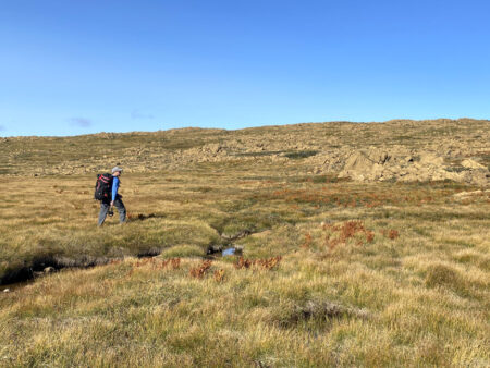
before turning off onto a not-so-wet wetland at the base of the Blow Me Down Mountains.
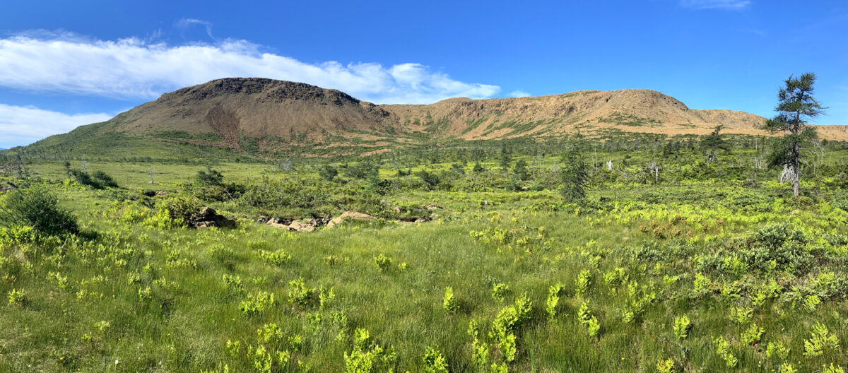
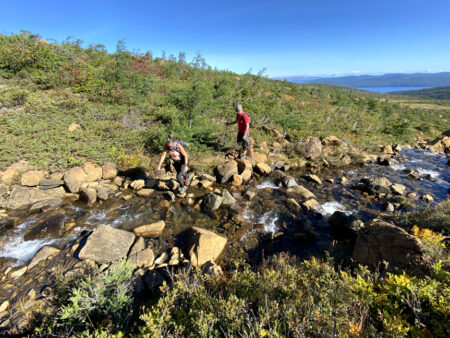
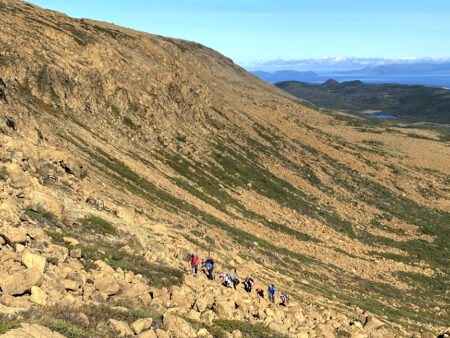
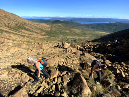
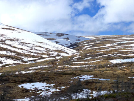
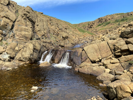
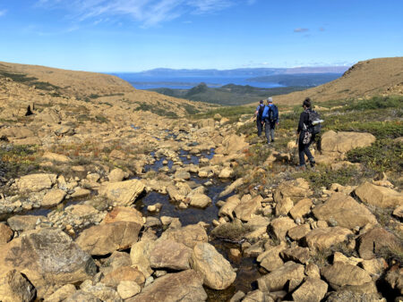
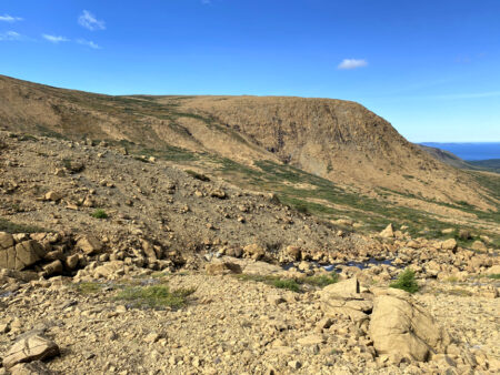
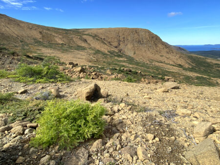
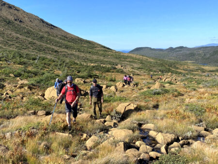
After crossing the grass and shrubs, hikers climb 230 meters up a rocky gully to the top of a headland plateau, occasionally crossing a crystal-clear stream that in late spring and early summer is composed largely of meltwater from winter’s snowpack.
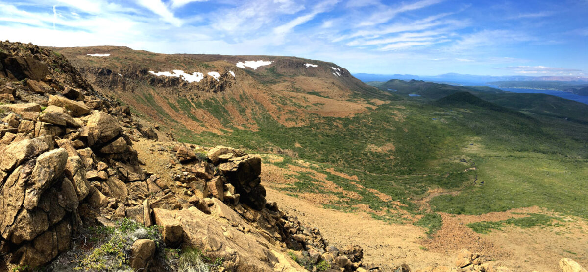
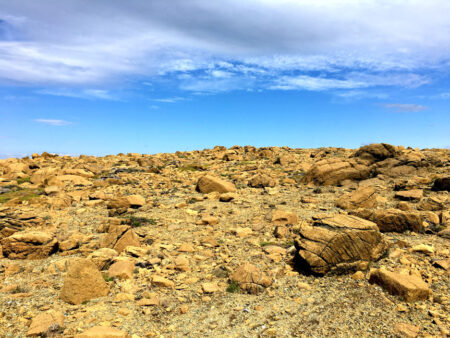
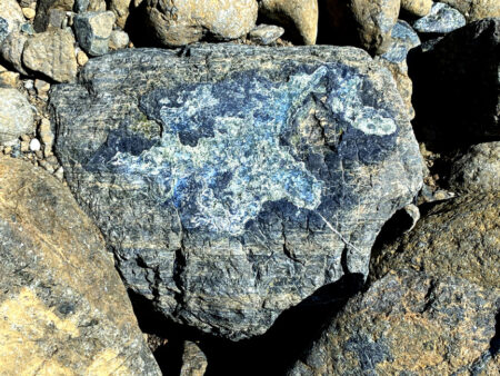
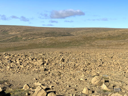
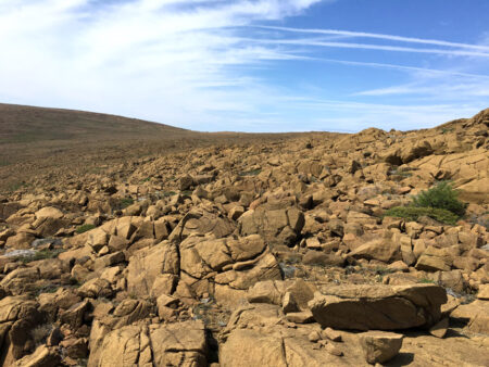
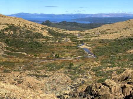
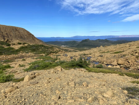
The spectacular view from here – including the eastern slopes of the Blow Me Down Mountains, Humber Arm and Outer Bay of Islands – is reason enough to stop for a little break before continuing on up another 80 meters (to a height of 570 meters) across a Martian-like peridotite landscape for a distance of 1.5kms to the south side of the mountains overlooking Knights Brook valley.
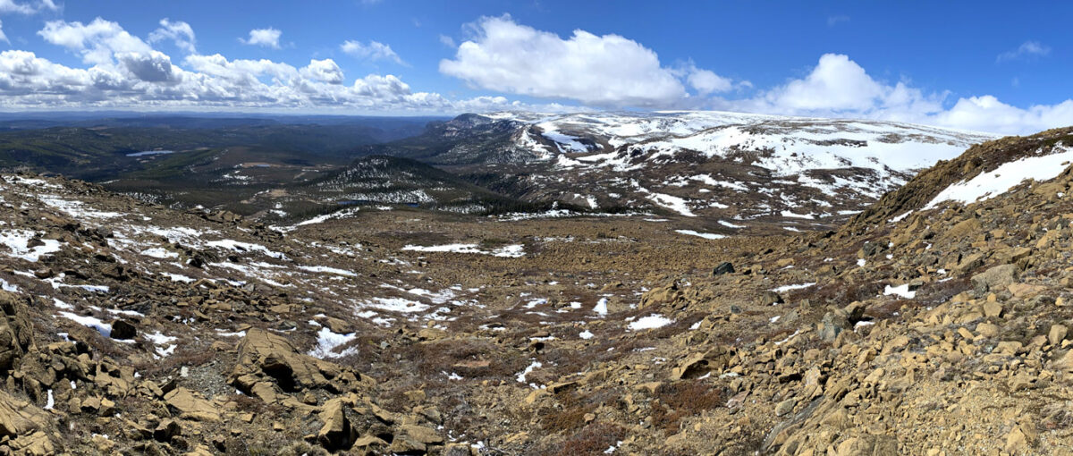
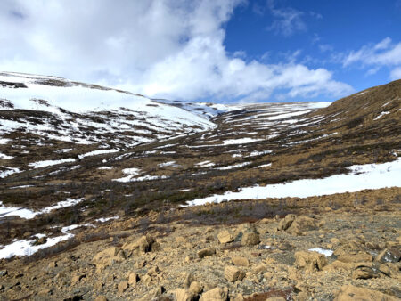
Spring view into Knights Brook Valley, popular snowmobile route onto the BMD Mountains
A one kilometer easy descent into the valley brings one to Knights Brook where it exits the Blow Me Down Mountains and turns south to eventually flow into the eastern end of Serpentine Lake.
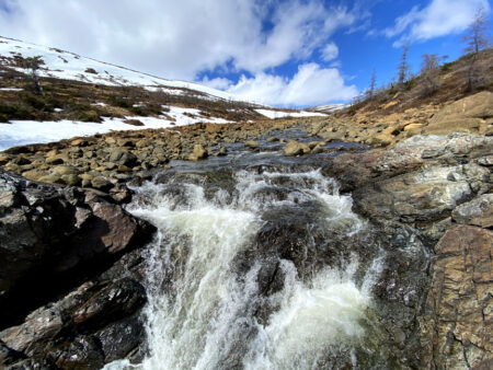
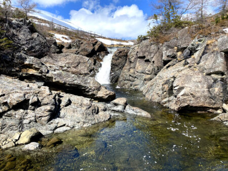
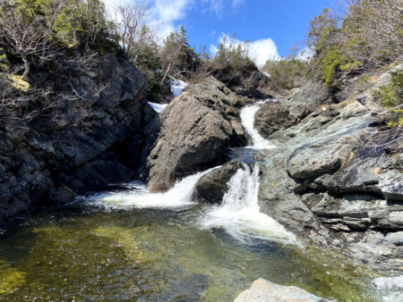
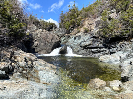
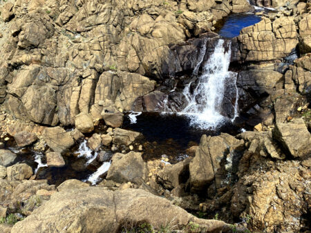
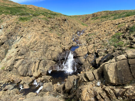
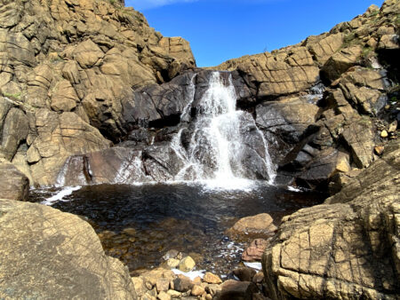
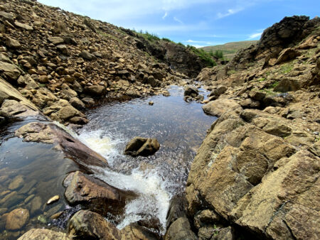
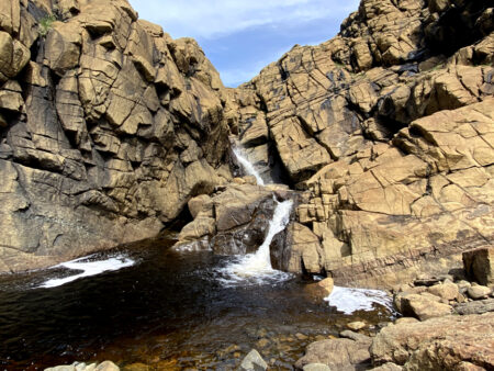
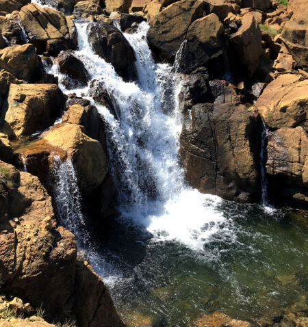
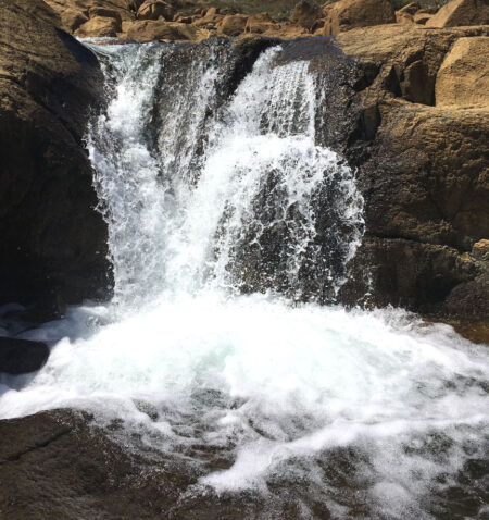
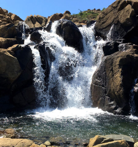
The location is also characterized by a series of cascading waterfalls and crystal-clear pools
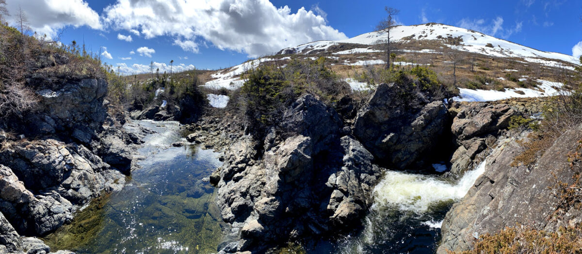
Three kilometers upstream is another series of waterfalls and pools, a great spot for a cool dip on a hot summer day.
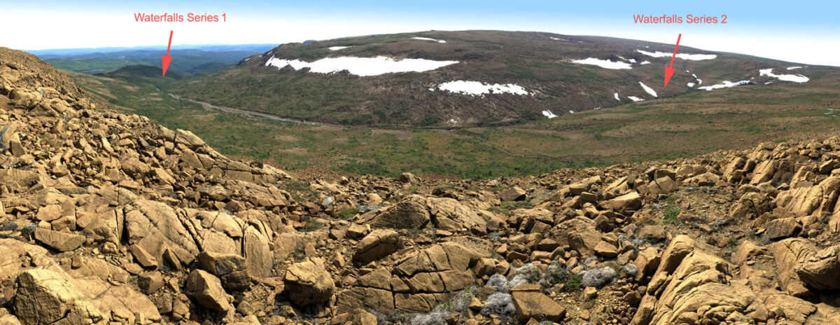
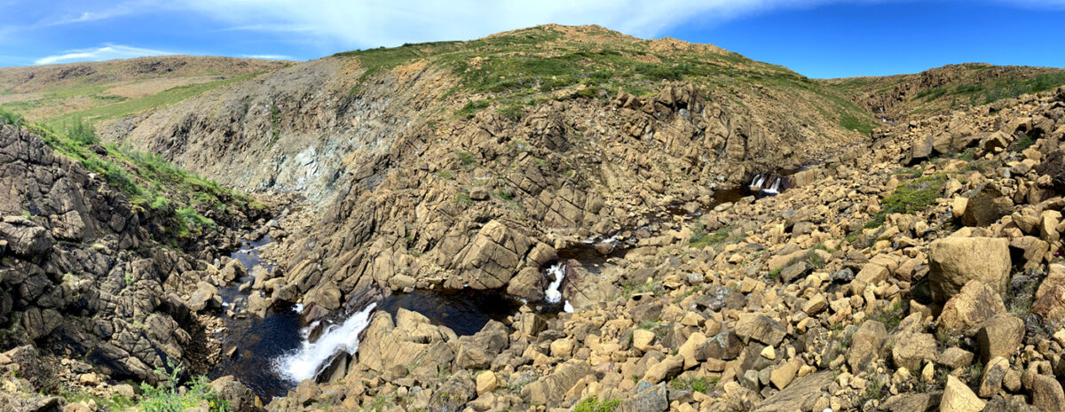
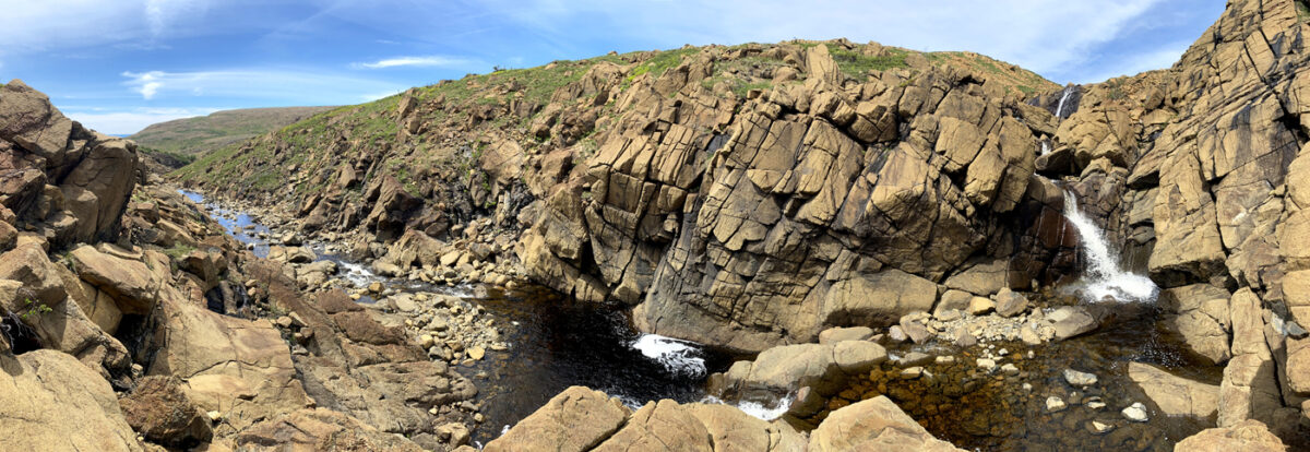
From this upper series of waterfalls, it’s time to turn north and head up the slope to the back end of Charlie’s Bottom, a broad two-tier cirque that faces the Humber Arm of Bay of Islands.
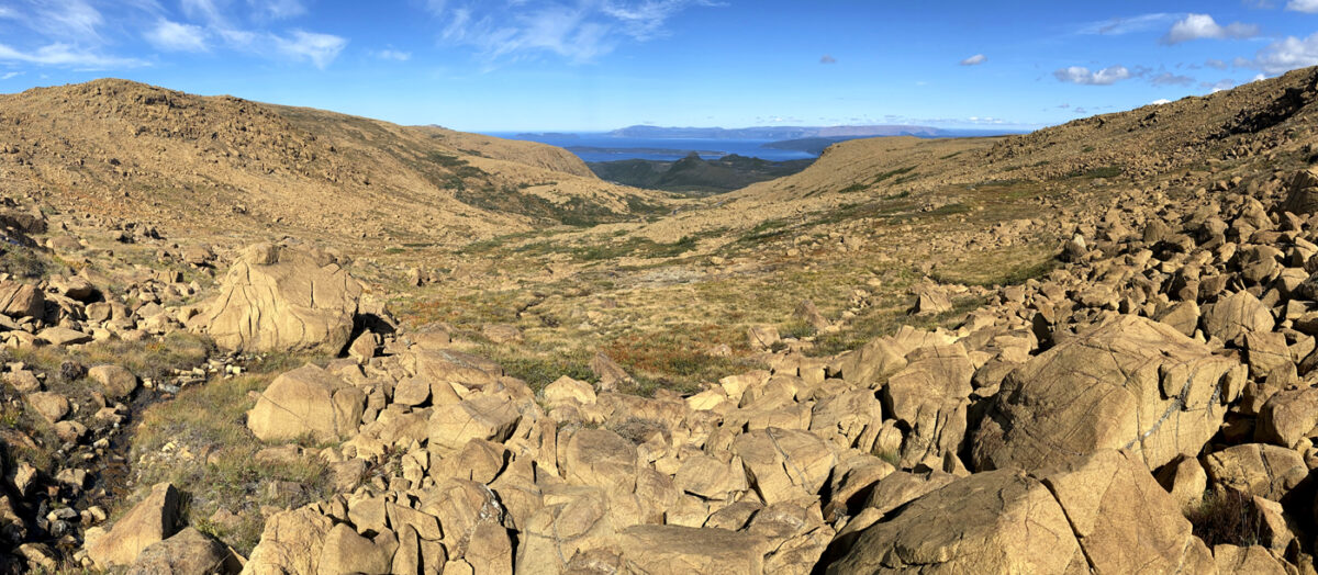
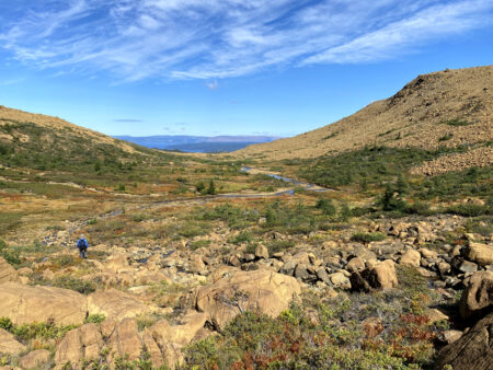
The descent into the valley is gradual and leads to a picturesque flat basin approximately halfway down
followed by a 100 meter drop to Charlie’s cascading waterfalls, which is a pleasant spot for a short break and another refreshing dip!
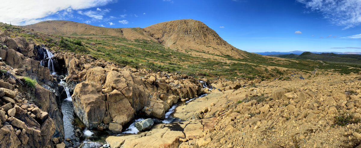
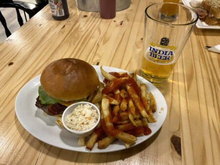
From here’s it’s a 1.5hr 6km walk back to Clarks Brook and Webcon Road via the base of the Blow Me Down Mountains. Then only a 5-minute drive to Saltbox Restaurant and Geopark Information Center for a well-deserved ice-cold beer and Blow Me Down Burger and fries!

