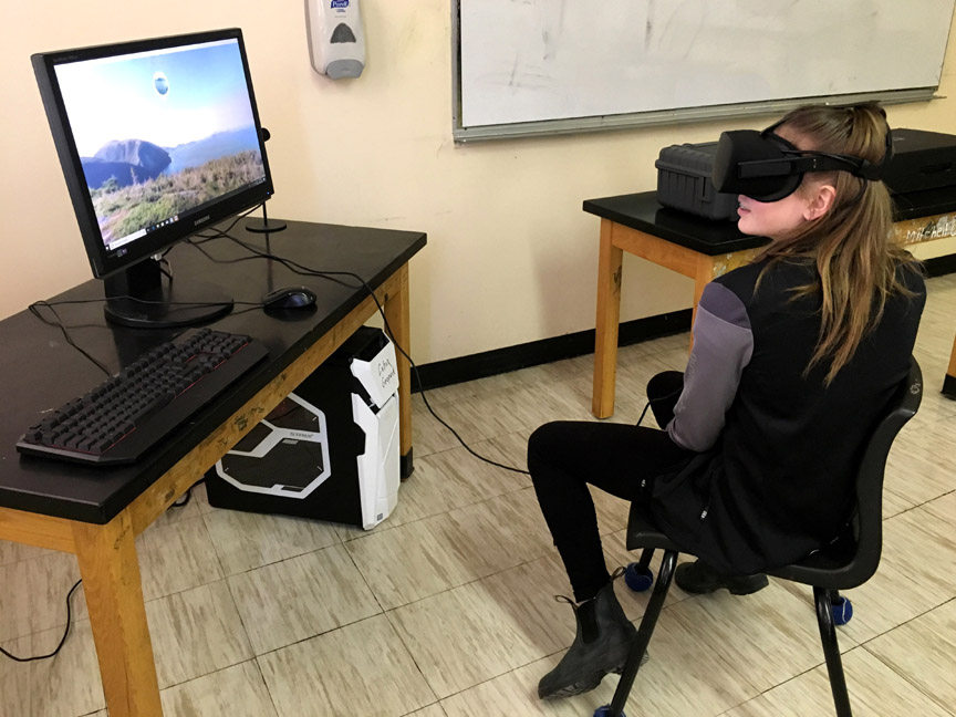
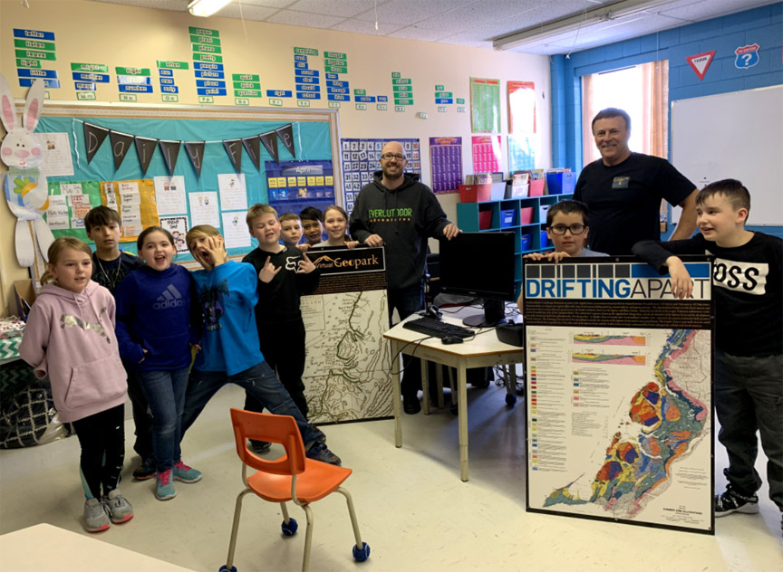
On Tuesday, May 7, 2019, students at Jakeman All Grade School in Trout River took turns touring the Geopark region with the help of Cabox’s Drifting Apart Virtual Reality program. Geopark Chairperson Paul Wylezol took advantage of the beautiful weather to visit the community located just west of the Tablelands Ophiolite Massif in Gros Morne National Park. Teacher Kayla Brake arranged the visit, which included the participation of kindergarten and grades 1-6 and 9.
Cabox Brings VR to St Peters Academy in Benoit’s Cove
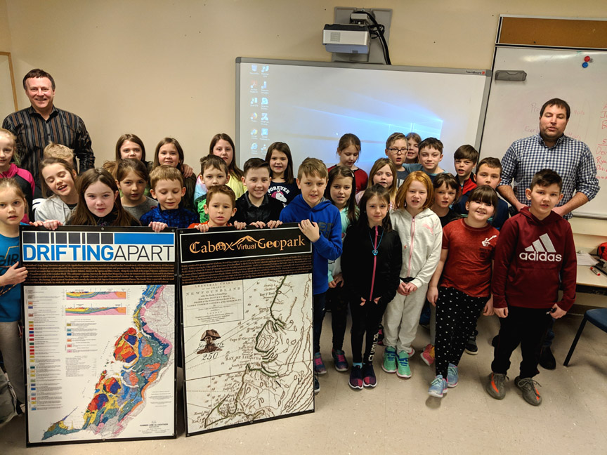
On Tuesday, April 2, 2019, Paul Wylezol of Cabox Geopark and Eric Bourgeois of Saltbox Restaurant and Information Center brought the Geopark to Angela Lawrence’s Grade 3 class at St Peter’s Academy in Benoit’s Cove. With interpretive panels and PC in tow, they introduced the students to the region’s natural heritage and gave them the opportunity to view it in VR (virtual reality) from their classroom.
Students at Templeton Experience Geopark Through VR
On Friday, March 8, 2019, Cabox Aspiring Geopark’s Paul Wylezol and Rob Thomas visited Templeton Academy in Meadows on the North Shore of the Humber Arm to introduce students to the region’s natural and cultural heritage using maps and virtual reality (VR) goggles. The visit to the Grade 3 class of teachers Brandy Thomas and Natasha Caines – which recently learned about maps – began with an introduction to James Cook and the work he did in the Bay of Islands 250 years ago (1767-68). Cook drew the outline of Newfoundland and was followed by 19th and 20th century geologists who, in the tradition of England’s William Smith (1769-1839), “colored” it in.
Cabox Completes Year Two of Signage Plan
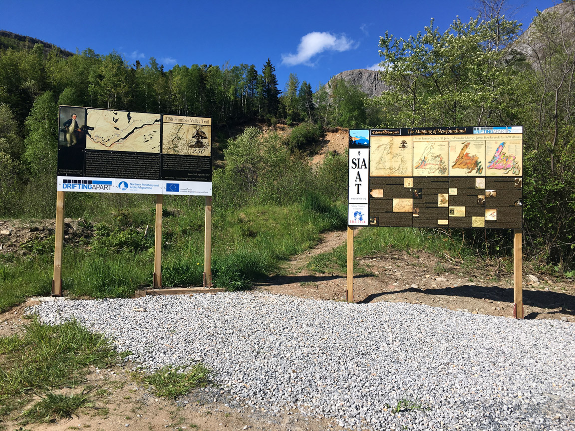
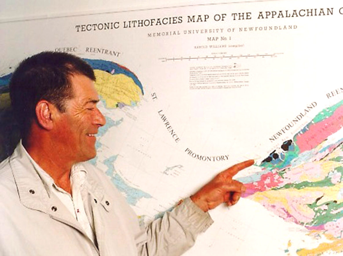
With the recent installation of Hank Williams’ Tectonic Lithofacies Map of the Appalachian Orogen at the Saltbox Restaurant and Geopark Information Center in Benoit’s Cove, Cabox Geopark has completed Year Two of its 5-year signage strategy. A wide variety of indoor and outdoor signs and interpretive panels have been installed at key locations around the Aspiring Geopark that were created at the IATNL print shop in the Goodhouse Building in Corner Brook, and cost shared by the IATNL and EU Interreg funded Drifting Apart project.
Cabox Commemorates Tectonic Lithofacies Map of the Appalachian Orogen
On Saturday, December 15, 2018, Cabox Geopark commemorated the 40th Anniversary of the Tectonic Lithofacies Map of the Appalachian Orogen. The map was compiled by renowned Newfoundland Geologist Harold “Hank” Williams, with assistance from his graduate student Jim Hibbard who continued to update and digitize the map at North Carolina State University where he was Professor Emeritus until his recent retirement.
Cabox Geopark Commemorates Cook Chart
On October 26, 2018, Cabox Geopark in Western Newfoundland commemorated the 250th Anniversary of James Cook’s ‘Chart of the West Coast of Newfoundland’. A large version of the map was installed at the Geopark’s new Saltbox Information Center in Benoit’s Cove on the south side of the Bay of Islands. Other copies of the Chart were (and will be) installed at key locations around the bay, including along the newly designated James Cook Heritage Trail in Blow Me Down Provincial Park in Lark Harbour.
Cabox Information Center Launches at New Saltbox Restaurant in Benoit’s Cove
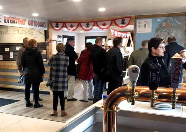
On October 26, 2018, Cabox Geopark and the soon to be Saltbox Restaurant in Benoit’s Cove launched the first Cabox Geopark Information Center. Located approximately halfway along Route 450 on the south side of the Bay of Islands, the center will provide natural heritage and outdoor adventure information to both residents and tourists. Opening day included storyboards on renowned surveyor James Cook, who surveyed Newfoundland’s west coast in 1767, and the region’s diverse geology as mapped by a long list of geologists including Newfoundlander Harold “Hank” Williams who colored in Cook’s maps.
In Search of Stage One of the UltramaTrex
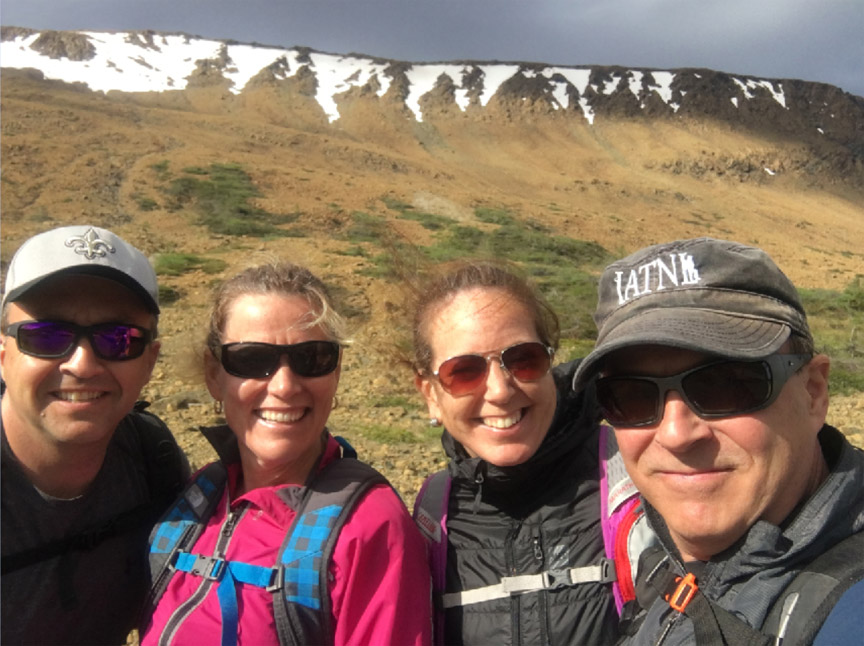
On the morning of June 23, 2018, IATNL members Ulrica Murley Pye, Sharon MacDonald Lahey, Delano Pittman and Paul Wylezol set off up Winterhouse Gulch on the northeast side of the Tablelands in Gros Morne National Park on a mission to identify and gps track the route for Stage One of the 4-stage UltramaTrex, a 7-9 day trek across the ultramafic sections of the four Bay of Islands Ophiolite Massifs. The first half-hour of the trek was on a well-trodden park trail that begins at the parking lot just off Route 431 above the town of Woody Point.
Canadian Geoparks Workshop in Ottawa
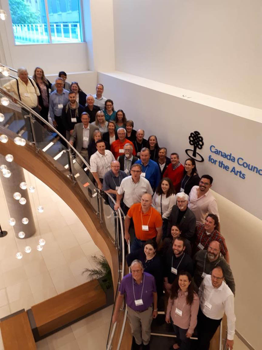
On June 4-5, 2018, the first national workshop of the Canadian Geoparks Network took place in Ottawa. The event was held at the Canadian Council for the Arts and included representatives from UNESCO Global Geoparks and Aspiring Geoparks across Canada, including Cabox. Special guest was Patrick McKeever, UNESCO Chief of Section at the Global Earth Observation division and Secretary of the International Geoscience Programme, including UNESCO Global Geoparks.
Geopark Reps Attend Drifting Apart Meeting
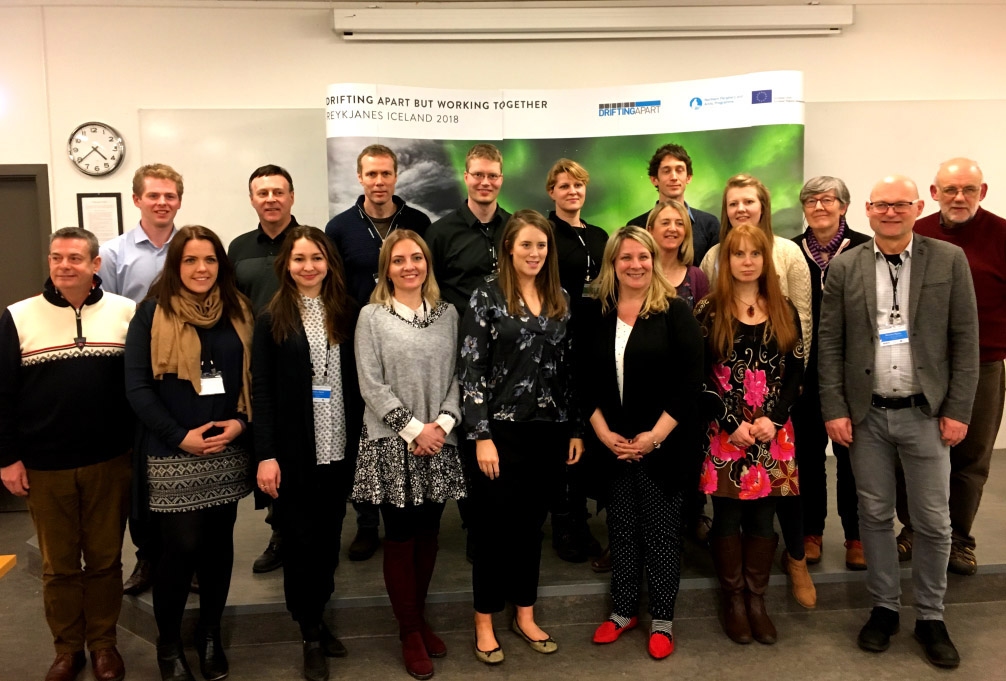
On February 25, 2018, representatives of the IATNL and Outer Bay of Islands Enhancement Committee (OBIEC) traveled to Iceland to attend the final meeting of the 3-year EU Northern Periphery and Arctic Programme funded Drifting Apart project. They were representing Cabox Aspiring Geopark. The two-day event began the evening of February 26 with a reception at Reykjanes UNESCO Global Geopark Visitor Center, with special guest Ms Eliza Reid, First Lady of Iceland.

