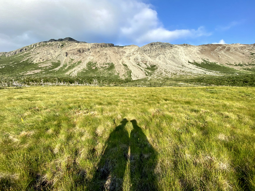
On August 17 after an unusually long dry spell in Western Newfoundland, IATNL/CABOX Director Paul Wylezol set off from the Lewis Hills Trail’s northern trailhead in search of a hiking route to the east rim of Wheelers Gulch on the northeast corner of the Lewis Hills, then returned via the relatively dry Blue Hill Brook that flows north along the base of the mountains into the western end of Serpentine Lake near its outflow into Serpentine River.
Exploring the Western Blow Me Downs
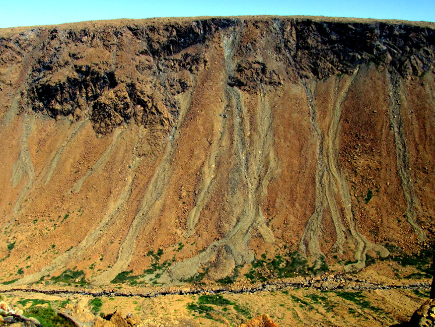
Though it was a little warm for hiking, the occasional cloud and ocean breeze made for a pleasant 12-hour 23km trek into the remote western Blow Me Down Mountains on August 11. The goal was to find an access to/from the mountains below Round Hill and The Haystacks (the highest peaks on the Blow Me Downs) that would provide a 2-day east-west traverse of the hills from Benoit’s Cove via the back end of Simms Gulch. The route as is requires a small amount of to-the-knee bushwhacking and a little scree hopping, but with a few improvements will provide an intermediate level trek with great new views and more stunning geology, including another example of the Moho (Mohorovičić Discontinuity) from the Bay of Islands Ophiolite Massifs.