On October 22, representatives of Cabox Aspiring Geopark, Memorial University of Newfoundland’s Grenfell Campus, and College of the North Atlantic’s Corner Brook Campus gathered at Corner Brook’s Rotary Arts Center (RAC) for the first official meeting of the newly formed Cabox Collaborative. The group first met August 20 over lunch at the Saltbox Restaurant in Benoit’s Cove to discuss ways in which the Aspiring Geopark and academic institutions might cooperate.
MUN Geologist Dr. Andy Kerr Identifies Cabox Geosites
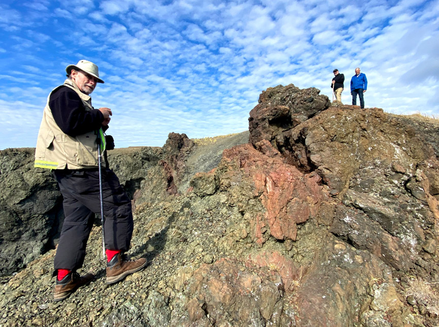
During the month of October, Memorial University of Newfoundland (MUN) Adjunct Professor Dr. Andy Kerr toured the lower Humber Valley, Bay of Islands and Trout River regions with the goal of identifying geological geosites within Cabox Aspiring Geopark. For the past 3-4 years, Dr. Kerr has been assisting Cabox by contributing to its geological storyline, including for the EU-funded Drifting Apart project.
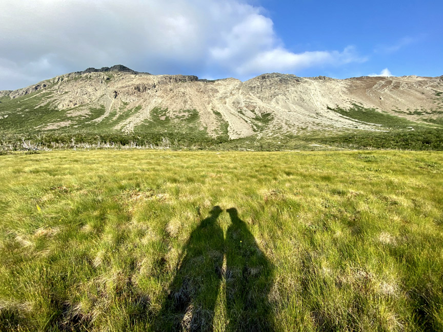
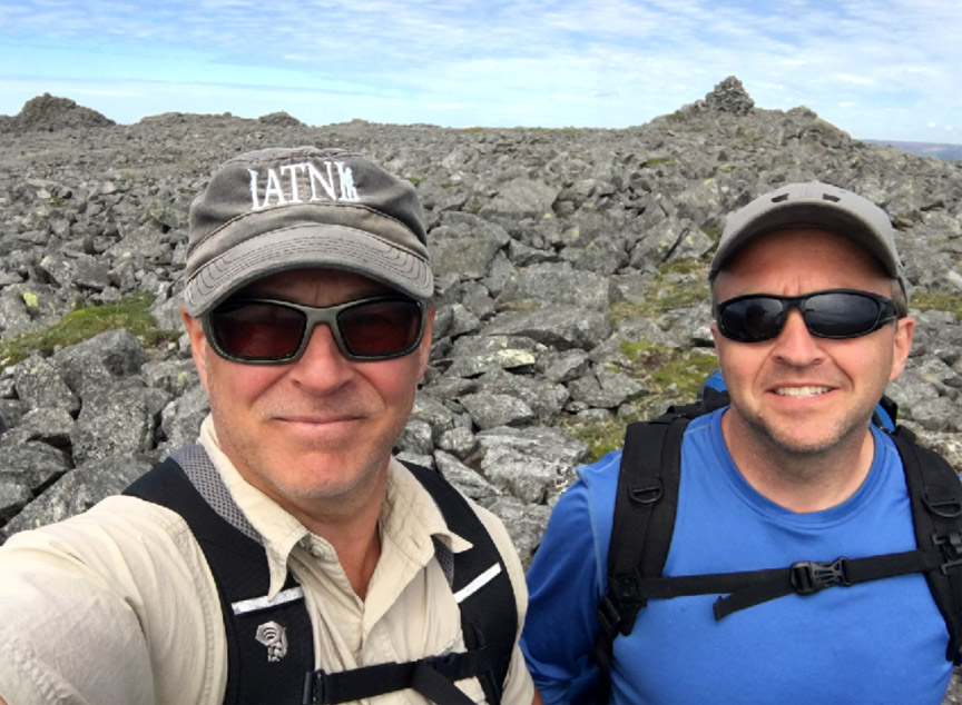
A Blow Me Down Trek
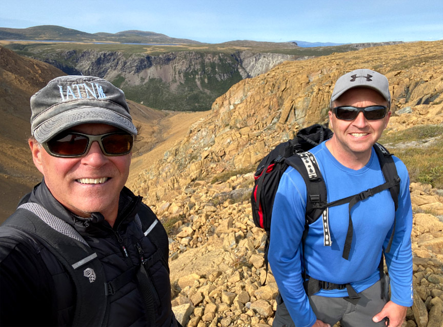
On September 16, IATNL directors Paul Wylezol and Delano Pittman set off from Benoit’s Cove on a trek across the Blow Me Down Mountains to fine tune some Cabox Geopark hiking routes and identify points of interest. After a 3km drive up Webcon forestry access road, then a ford of Clark’s Brook, Paul and Delano scrambled up over a peridotite scree field on their way to the top of the mountains. Once on top, the landscape changes considerably to low rolling serpentine barrens with occasional patches of low grass and puddle strewn wetlands.
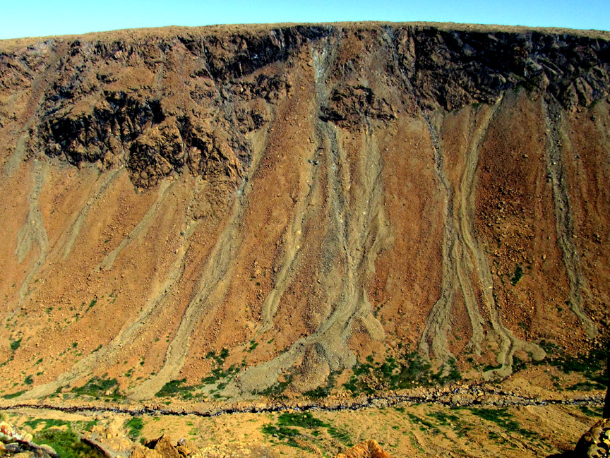
Mapping a New Route Along Simms Gulch’s East Rim
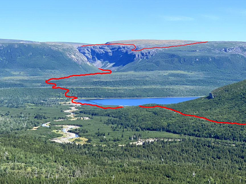
As one of the most spectacular and remote canyons on the island of Newfoundland, Simms Gulch on the south side of the Blow Me Down Mountains requires inclusion on any diehard adventurer’s bucket list. Located above the northwest corner of Serpentine Lake, it is accessed by gravel logging road after a 1.5 hour drive from either the Trans Canada Highway or town of Mount Moriah on the south side of the Bay of Islands. In the 1960s this pristine wilderness area, along with the northeast corner of the Lewis Hills, was held in reserve for a major provincial park.
Cabox Approved for ACOA and TCII Funding

On September 8, Cabox Aspiring Geopark received notice that its formal request for federal and provincial funding to help implement its 2020-2021 development priorities was approved. The assistance is “to undertake Phase 1 of establishing a world-class geo-tourism product, a Geopark, in the Bay of Islands region of Western Newfoundland. In particular, Cabox Geopark Inc. will engage consultants to: identify, organize, and map significant geological sites in the Corner Brook and Bay of Islands regions; develop a GIS database website; develop a Content Management System (CMS) to enable Cabox to expand its NewfoundlandVR programming for education and tourism
Scouting a New Route Along Wheelers Gulch’s East Rim
On August 17 after an unusually long dry spell in Western Newfoundland, IATNL/CABOX Director Paul Wylezol set off from the Lewis Hills Trail’s northern trailhead in search of a hiking route to the east rim of Wheelers Gulch on the northeast corner of the Lewis Hills, then returned via the relatively dry Blue Hill Brook that flows north along the base of the mountains into the western end of Serpentine Lake near its outflow into Serpentine River.
Exploring the Western Blow Me Downs
Though it was a little warm for hiking, the occasional cloud and ocean breeze made for a pleasant 12-hour 23km trek into the remote western Blow Me Down Mountains on August 11. The goal was to find an access to/from the mountains below Round Hill and The Haystacks (the highest peaks on the Blow Me Downs) that would provide a 2-day east-west traverse of the hills from Benoit’s Cove via the back end of Simms Gulch. The route as is requires a small amount of to-the-knee bushwhacking and a little scree hopping, but with a few improvements will provide an intermediate level trek with great new views and more stunning geology, including another example of the Moho (Mohorovičić Discontinuity) from the Bay of Islands Ophiolite Massifs.
In Search of St Gregory’s Cross
On the morning of July 23, IATNL directors Paul Wylezol and Delano Pittman set off in pickup truck down a gravel road just south of Trout River, heading to the remote resettled community of Chimney Cove on the gulf coast about midway between Trout River and the Bay of Islands. They were on a mission to find a hikeable route to the top of Mount St Gregory from Chimney Cove that would serve as the northern leg of a planned ST GREGORY’S CROSS one-day trek from Lower Crabb’s Brook on the north shore of the Bay of Islands to Chimney Cove, then on to Trout River at the edge of Gros Morne National Park.
IATNL Explores New Route to top of Man In The Mountain
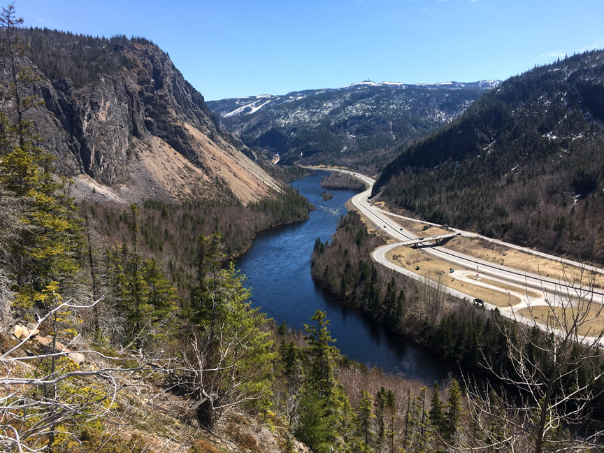
On May 21, IATNL Directors Paul Wylezol and Delano Pittman took advantage of a beautiful day during an ideal time of year to make an exploratory bushwhacking trek up a prominent ridge in the lower Humber Valley to find a new scenic route to Arne’s Lookout, 1.6 kms (1 mile) west of Man In The Mountain above Humber River. The new 1.5 km route would begin 130ft above sea level near the current western trailhead and rise to 1110 ft, and provide spectacular new views of the Humber Valley, Humber Arm and Blow Me Down Mountains.
Everoutdoor Adventures Scavenger Hunt & Coloring Book
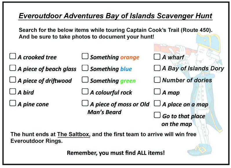
If it feels like you’ve spent the last couple of … Read More
- Page 1 of 2
- 1
- 2