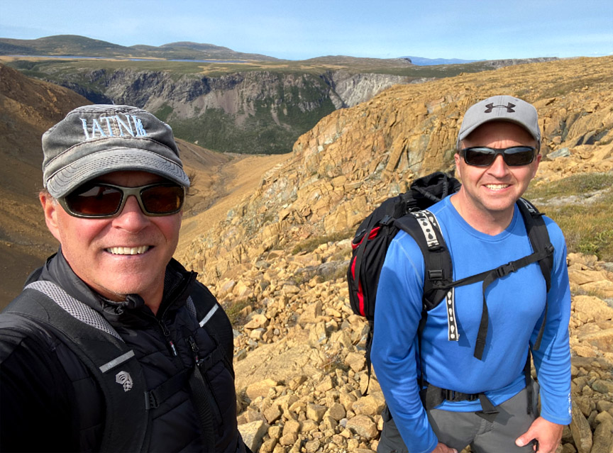
On September 16, IATNL directors Paul Wylezol and Delano Pittman set off from Benoit’s Cove on a trek across the Blow Me Down Mountains to fine tune some Cabox Geopark hiking routes and identify points of interest. After a 3km drive up Webcon forestry access road, then a ford of Clark’s Brook, Paul and Delano scrambled up over a peridotite scree field on their way to the top of the mountains. Once on top, the landscape changes considerably to low rolling serpentine barrens with occasional patches of low grass and puddle strewn wetlands.
Mapping a New Route Along Simms Gulch’s East Rim
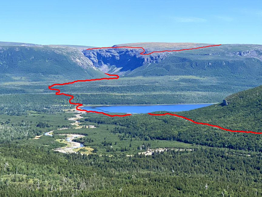
As one of the most spectacular and remote canyons on the island of Newfoundland, Simms Gulch on the south side of the Blow Me Down Mountains requires inclusion on any diehard adventurer’s bucket list. Located above the northwest corner of Serpentine Lake, it is accessed by gravel logging road after a 1.5 hour drive from either the Trans Canada Highway or town of Mount Moriah on the south side of the Bay of Islands. In the 1960s this pristine wilderness area, along with the northeast corner of the Lewis Hills, was held in reserve for a major provincial park.
Cabox Approved for ACOA and TCII Funding

On September 8, Cabox Aspiring Geopark received notice that its formal request for federal and provincial funding to help implement its 2020-2021 development priorities was approved. The assistance is “to undertake Phase 1 of establishing a world-class geo-tourism product, a Geopark, in the Bay of Islands region of Western Newfoundland. In particular, Cabox Geopark Inc. will engage consultants to: identify, organize, and map significant geological sites in the Corner Brook and Bay of Islands regions; develop a GIS database website; develop a Content Management System (CMS) to enable Cabox to expand its NewfoundlandVR programming for education and tourism