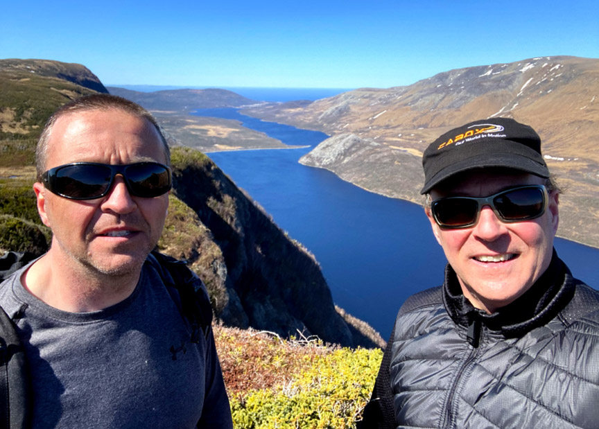
As part of its support for Cabox Aspiring Geopark, in September 2020 the federal and provincial government announced funding for Cabox VR, a virtual reality project begun under the EU-funded Drifting Apart project. The funds are to be used to develop the website NLinVR, which will provide an online platform to share 3D virtual reality images and videos of representative scenes across Newfoundland and Labrador. Of course in order to share the photos and videos, they must first be filmed using a 360-degree video camera.
Arne Tackles Bear Head!
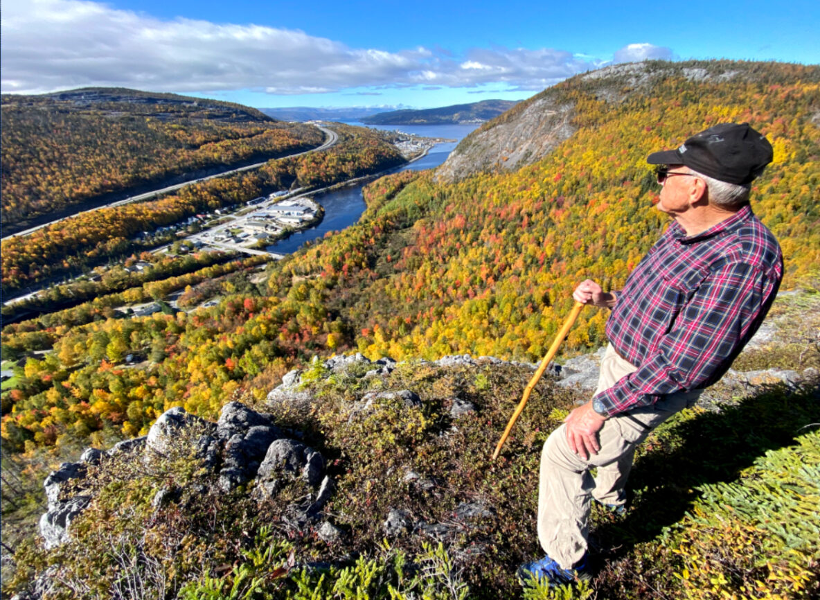
On October 15, octogenarian Arne Helgeland hiked up 335 meters (1100 feet) to Arne’s Lookout at the top of the new IATNL Bear Head Trail. Follow along as he takes in the bright fall colours and fantastic views of the lower Humber Valley.
Cabox Holds Art & Adventure Festival
From September 17 to 19, Cabox Aspiring Geopark, in collaboration with Grenfell Campus of Memorial University of Newfoundland, Navigate Entrepreneurship Centre, City of Corner Brook and Qalipu First Nation, held the first of what is hoped will be an annual Art & Adventure Festival, combining art workshops with outdoor adventure. The event began with a 7-hour group hike of the Blow Me Down Mountains above Benoit’s Cove, on a sunny, clear and calm Friday.
A Geosite Tour of the Bay of Islands
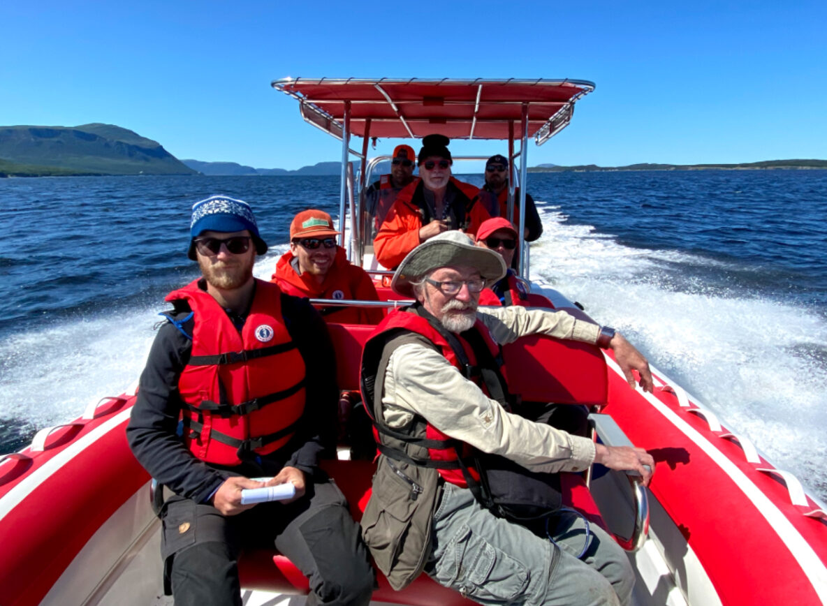
With sunny skies and light wind, August 9 was an ideal day for a zodiac tour of the Bay of Islands to explore and identify geosites for Cabox Aspiring Geopark. In addition to Cabox directors Paul Wylezol, Arne Helgeland and Rob Thomas (who also operated Everoutdoor Adventures’ zodiac Elmastukwek), the tour also included geologists John Waldron (University of Alberta) and Andy Kerr (Memorial University of Newfoundland), and John’s students Martin Schwangler and Jordan Koop, all of whom were in the region helping to identify significant geological features of the proposed UNESCO Global Geopark.
IATNL Launches Elephant Trail with Group Hike
On Friday, June 25, after 2.5 years of intermittent work, the International Appalachian Trail Newfoundland & Labrador (IATNL) launched the Elephant Trail on the south side of Trout River Pond with a group hike of 14 people. The trail is at the northern end of the 3-day North Arm Traverse, with the southern end located at the IATNL Basecamp at Stowbridges on the north side of North Arm, Bay of Islands.
Cabox Awarded CGF Grant
On June 14, 2021, Cabox Aspiring Geopark received news that it had been awarded a $25,000 grant from the Canadian Geological Foundation’s Jérôme H. Remick III Endowment Trust Fund to produce an animated video and accompanying rock kit to help educate local school children about the geological heritage of Western Newfoundland, and in particular Cabox Aspiring Geopark. The video will star child characters Bobby and Harry, based loosely on real-life geologists Robert Stevens and Harold “Hank” Williams who in the 1960s, 70s and 80s helped decipher the geological history and composition of the Humber Arm Allochthon.
Across the Blow Me Downs to Knights Brook Falls
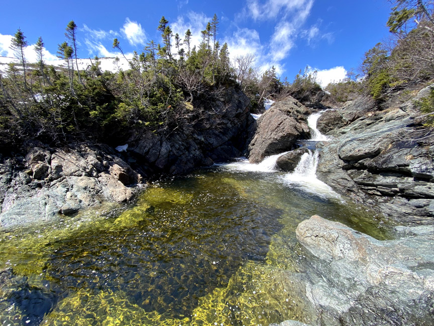
With early spring in the lowlands and late winter in the highlands, IATNL/Cabox Chairperson Paul Wylezol set off to cross the eastern end of Blow Me Down Ophiolite Massif to check out a series of waterfalls on Knights Brook, where the crystal-clear stream emerges from the mountains and turns south to follow its course through 7kms of foothills to the eastern end of Serpentine Lake. In 2021 spring arrived a month early in Western Newfoundland, which permitted this April 25 trek. Temperatures ranged from 8 to 10C at the base of the mountains and in the valleys, but hovered between 2 and 4C on top, where a 20-30km breeze across large swaths of snowpack added a ‘still winter’ chill.
Spring Up and Over the Elephant
On April 14 during the mildest spring in many years, IATNL Directors Paul Wylezol and Delano Pittman took advantage of a blue sky day to make the first spring trek of the new IATNL/Cabox Geopark Elephant Trail on the south side of Trout River Pond, which will be completed to the top of the Elephant’s back by early Summer 2021. The 10-hour 23-kilometer trek began approximately 2kms past Trout River Campground on Chimney Cove gravel access road, where an ATV trail makes a right angle intersection and follows the Gros Morne National Park boundary southeast to within 1 kilometer of the foot of the Elephant.
Aspiring Geoparks Attend CGN Workshop
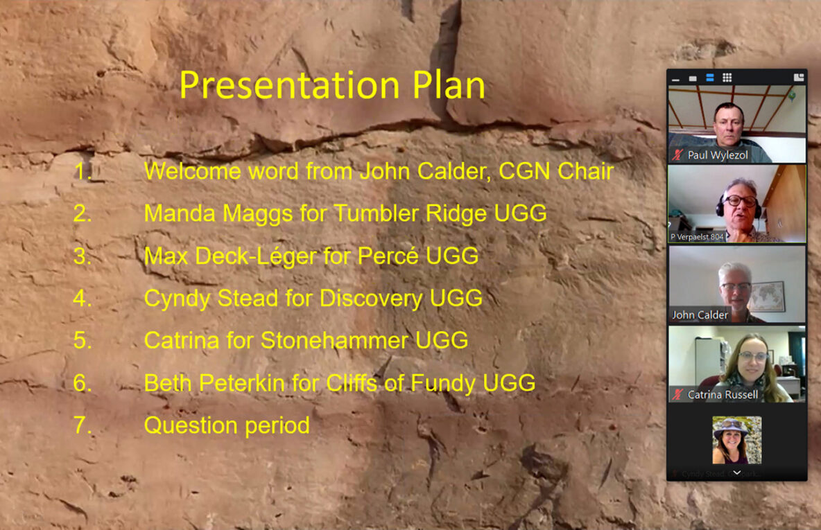
On Wednesday, April 7, the Canadian Geoparks Network held its first Aspiring Geoparks Workshop for 2021. The 1-hour zoom event was organized by Pierre Verpaelst, CGN Aspiring Geoparks Liaison, and was focused on community engagement. Representatives from each of the five Canadian Global Geoparks gave a presentation to representatives from the six Canadian Aspiring Geoparks, including Cabox in Newfoundland and Labrador, Charlevoix in Quebec, Temiskaming, Rift Valley and Big Impact in Ontario, and Sea to Sky Fire and Ice in British Columbia.
Grenfell Campus and CNA Partner on Cabox Collaborative
On October 22, representatives of Cabox Aspiring Geopark, Memorial University of Newfoundland’s Grenfell Campus, and College of the North Atlantic’s Corner Brook Campus gathered at Corner Brook’s Rotary Arts Center (RAC) for the first official meeting of the newly formed Cabox Collaborative. The group first met August 20 over lunch at the Saltbox Restaurant in Benoit’s Cove to discuss ways in which the Aspiring Geopark and academic institutions might cooperate.


